Camas Mòr
Bay in Inverness-shire
Scotland
Camas Mòr
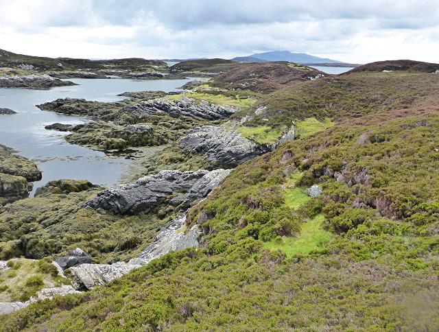
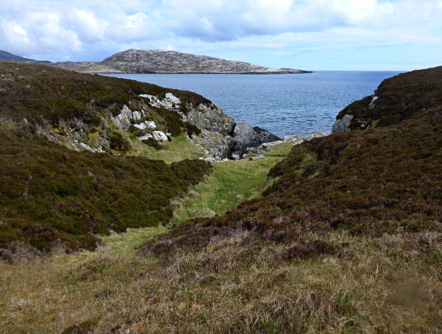
![East coast of Ronay A narrow gap between the tiny island of Eilean na Cloiche [left] and Ronay, leading to a small inlet.](https://s2.geograph.org.uk/geophotos/02/07/34/2073482_b1601bc1.jpg)
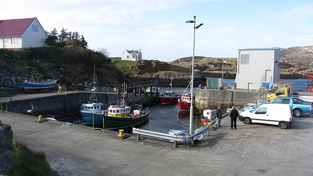
Camas Mòr is a picturesque bay located in Inverness-shire, Scotland. Situated on the west coast of Scotland, it is a popular tourist destination known for its stunning natural beauty and rich history. The bay is nestled between rugged cliffs on one side and a tranquil sandy beach on the other, providing visitors with a diverse and breathtaking landscape.
The bay is surrounded by rolling hills and lush greenery, creating a peaceful and idyllic atmosphere. The crystal-clear waters of the bay are perfect for swimming, fishing, and other water activities. The beach is a great spot for sunbathing and picnicking, offering a serene escape from the hustle and bustle of everyday life.
Camas Mòr is also steeped in history, with several ancient ruins and archaeological sites in the vicinity. The nearby Dun Beag, a well-preserved Iron Age fort, offers a glimpse into the region's past. Visitors can explore the ruins and learn about the fascinating history of the area.
In addition to its natural beauty and historical significance, Camas Mòr is home to a diverse range of flora and fauna. Birdwatchers will be delighted by the variety of bird species that inhabit the bay, including gannets, puffins, and cormorants.
Overall, Camas Mòr is a hidden gem in Inverness-shire, offering visitors a chance to immerse themselves in the beauty of the Scottish coast, explore ancient ruins, and enjoy a peaceful retreat in nature.
If you have any feedback on the listing, please let us know in the comments section below.
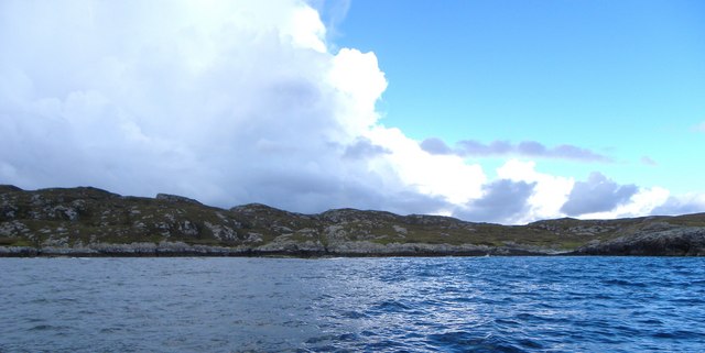
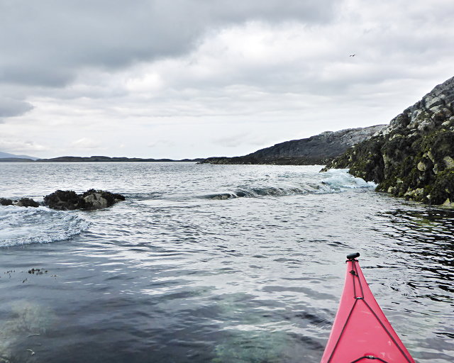
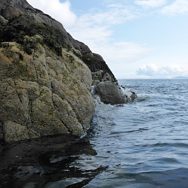
Camas Mòr Images
Images are sourced within 2km of 57.471841/-7.1861931 or Grid Reference NF8954. Thanks to Geograph Open Source API. All images are credited.
![You are being watched A group [possibly 8] of red deer on the east side of Ronay. Deer are known to swim the sea channels between Ronay, Grimsay and North Uist. Currently, deer are the only large grazing animals on Ronay, there being no sheep on the island in 2010.](https://s1.geograph.org.uk/geophotos/02/07/34/2073493_25e2b010.jpg)


Camas Mòr is located at Grid Ref: NF8954 (Lat: 57.471841, Lng: -7.1861931)
Unitary Authority: Na h-Eileanan an Iar
Police Authority: Highlands and Islands
What 3 Words
///misty.custodian.sweeter. Near Balivanich, Na h-Eileanan Siar
Nearby Locations
Related Wikis

Ronay
Ronay (Scottish Gaelic: Rònaigh) is an island in the Outer Hebrides of Scotland, which lies a short distance off the east coast of Grimsay. == Geography... ==

Flodaigh Mòr
Flodaigh Mòr (or Floddaymore) is an uninhabited island in the Outer Hebrides of Scotland. == Geography and geology == Flodaigh Mòr lies east of North Uist...
Grimsay
Grimsay (Scottish Gaelic: Griomasaigh) is a tidal island in the Outer Hebrides of Scotland. == Geography == Grimsay is the largest of the low-lying stepping...

Flodaigh
Flodaigh is a tidal island lying to the north of Benbecula and south of Grimsay in the Outer Hebrides, Scotland. It is connected to Benbecula by a causeway...
Nearby Amenities
Located within 500m of 57.471841,-7.1861931Have you been to Camas Mòr?
Leave your review of Camas Mòr below (or comments, questions and feedback).