Rubha na Rodagraich
Coastal Feature, Headland, Point in Inverness-shire
Scotland
Rubha na Rodagraich
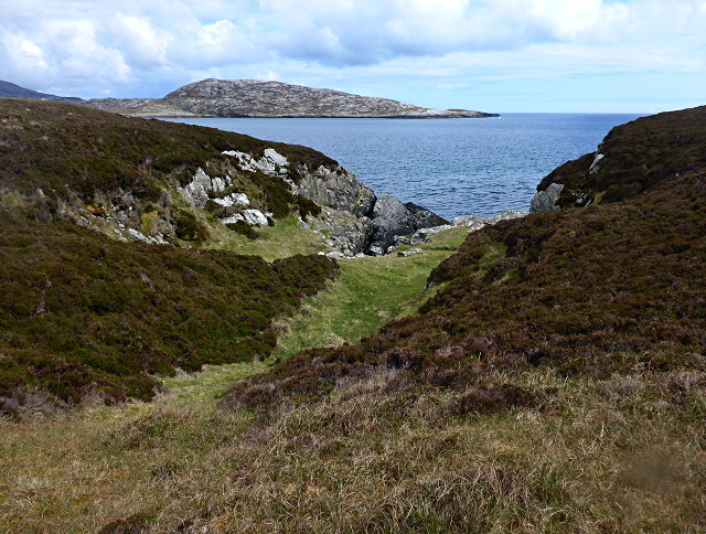
![East coast of Ronay A narrow gap between the tiny island of Eilean na Cloiche [left] and Ronay, leading to a small inlet.](https://s2.geograph.org.uk/geophotos/02/07/34/2073482_b1601bc1.jpg)
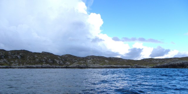
Rubha na Rodagraich is a prominent coastal feature located in Inverness-shire, Scotland. This headland, also known as the Point of the Red Rocks, is situated on the western coast of the Scottish Highlands. It is characterized by its rugged and dramatic cliffs, which jut out into the North Atlantic Ocean.
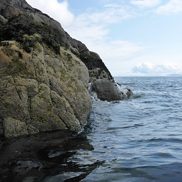
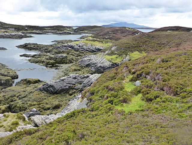
The headland is primarily composed of red sandstone, which gives it its distinctive name. The cliffs rise to an impressive height, providing breathtaking views of the surrounding landscape and the open sea. The coastal area surrounding Rubha na Rodagraich is scattered with small bays and beaches, offering picturesque spots for beachcombing and relaxation.
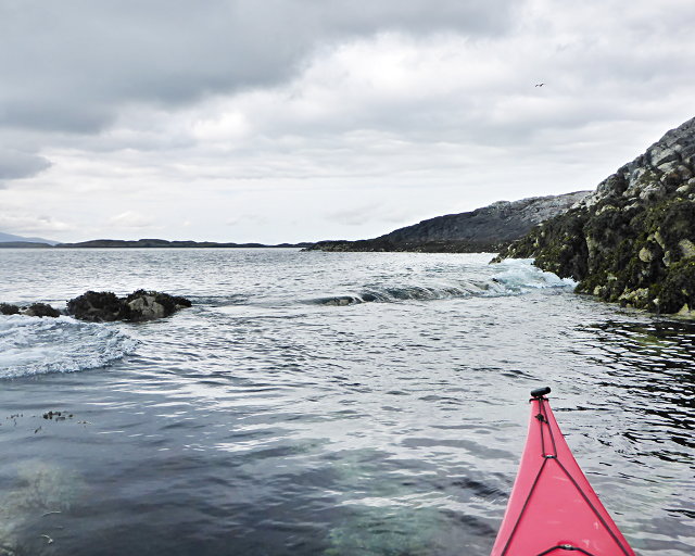
The headland is a popular destination for hikers and nature enthusiasts due to its stunning natural beauty and diverse wildlife. Visitors may spot various seabirds, including gannets, puffins, and guillemots, nesting along the cliffs. The surrounding waters are also home to seals and dolphins, which can sometimes be seen swimming and playing offshore.
Aside from its natural attractions, Rubha na Rodagraich also has historical significance. The remains of an Iron Age fort can be found atop the headland, providing a glimpse into the area's ancient past. This fort, believed to have been occupied around 2,000 years ago, adds an extra layer of intrigue to the already captivating landscape.
Overall, Rubha na Rodagraich is a captivating coastal feature in Inverness-shire, boasting awe-inspiring cliffs, stunning views, and a rich history. Whether it's for hiking, birdwatching, or simply admiring the rugged beauty of the Scottish coast, this headland offers something for everyone.
If you have any feedback on the listing, please let us know in the comments section below.
Rubha na Rodagraich Images
Images are sourced within 2km of 57.469595/-7.180864 or Grid Reference NF8954. Thanks to Geograph Open Source API. All images are credited.
![You are being watched A group [possibly 8] of red deer on the east side of Ronay. Deer are known to swim the sea channels between Ronay, Grimsay and North Uist. Currently, deer are the only large grazing animals on Ronay, there being no sheep on the island in 2010.](https://s1.geograph.org.uk/geophotos/02/07/34/2073493_25e2b010.jpg)


Rubha na Rodagraich is located at Grid Ref: NF8954 (Lat: 57.469595, Lng: -7.180864)
Unitary Authority: Na h-Eileanan an Iar
Police Authority: Highlands and Islands
What 3 Words
///masses.trainer.bluffing. Near Balivanich, Na h-Eileanan Siar
Nearby Locations
Related Wikis

Ronay
Ronay (Scottish Gaelic: Rònaigh) is an island in the Outer Hebrides of Scotland, which lies a short distance off the east coast of Grimsay. == Geography... ==

Flodaigh Mòr
Flodaigh Mòr (or Floddaymore) is an uninhabited island in the Outer Hebrides of Scotland. == Geography and geology == Flodaigh Mòr lies east of North Uist...
Grimsay
Grimsay (Scottish Gaelic: Griomasaigh) is a tidal island in the Outer Hebrides of Scotland. == Geography == Grimsay is the largest of the low-lying stepping...

Flodaigh
Flodaigh is a tidal island lying to the north of Benbecula and south of Grimsay in the Outer Hebrides, Scotland. It is connected to Benbecula by a causeway...
Have you been to Rubha na Rodagraich?
Leave your review of Rubha na Rodagraich below (or comments, questions and feedback).