Bhoisinis
Coastal Feature, Headland, Point in Inverness-shire
Scotland
Bhoisinis

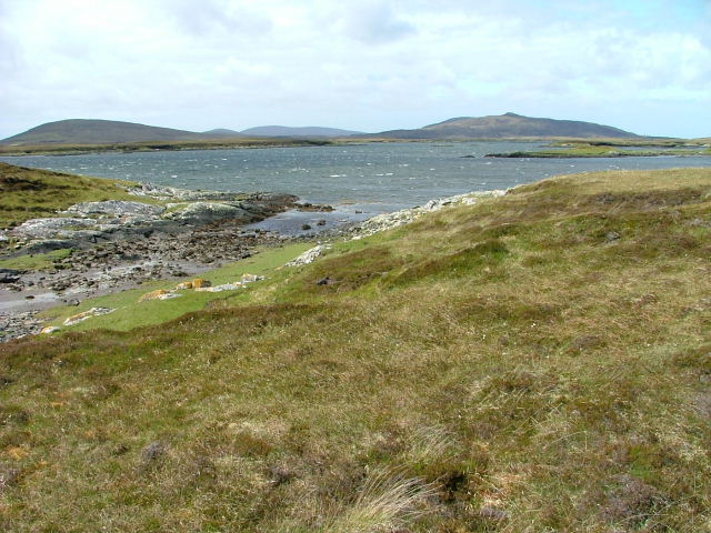
Bhoisinis is a prominent coastal feature located in Inverness-shire, Scotland. It is a headland that extends into the North Sea, forming a distinct point along the rugged coastline. Bhoisinis is situated in close proximity to the town of Inverness, making it easily accessible for visitors and locals alike.
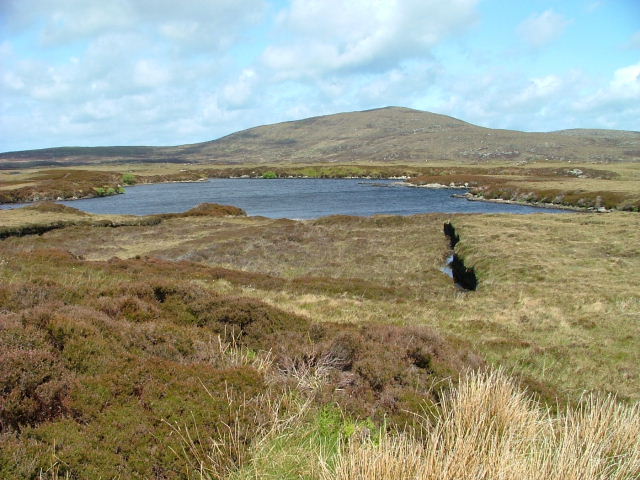
The headland is characterized by its rocky cliffs, which rise dramatically from the sea, providing stunning panoramic views of the surrounding landscape. These cliffs are composed of various types of sedimentary rocks, such as sandstone and shale, displaying layers of geological history.
Bhoisinis is renowned for its diverse wildlife and natural beauty. The surrounding waters are home to an array of marine life, including seals, dolphins, and various species of seabirds, making it a popular spot for birdwatching and wildlife enthusiasts. The headland also offers picturesque coastal trails, allowing visitors to explore the area's unique flora and fauna.
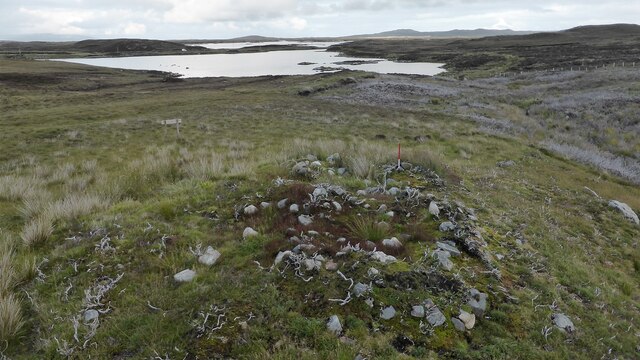
In addition to its natural attractions, Bhoisinis holds historical significance. The headland is believed to have been inhabited by ancient settlements, with archaeological evidence suggesting human activity dating back thousands of years. Ruins of old dwellings and fortifications can still be seen, providing a glimpse into the area's rich cultural heritage.
Overall, Bhoisinis is a captivating coastal feature in Inverness-shire, offering a combination of breathtaking scenery, diverse wildlife, and historical intrigue. Whether it's for a leisurely stroll, wildlife spotting, or a dive into the area's past, Bhoisinis is a must-visit destination for nature and history enthusiasts.
If you have any feedback on the listing, please let us know in the comments section below.
Bhoisinis Images
Images are sourced within 2km of 57.64181/-7.1992139 or Grid Reference NF8973. Thanks to Geograph Open Source API. All images are credited.


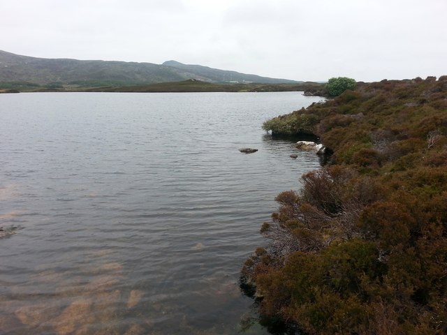
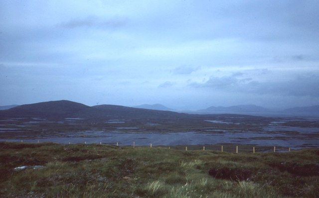
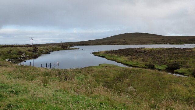
![View towards Loch an Duin The distant water translates as the Loch of the Dun, with the remains of Dun Torcuill in the middle distance [centre of photo]. The convoluted outline of the loch includes two other dun sites, both well out of sight from this point by the road.](https://s3.geograph.org.uk/geophotos/06/20/38/6203855_dded2482.jpg)
Bhoisinis is located at Grid Ref: NF8973 (Lat: 57.64181, Lng: -7.1992139)
Unitary Authority: Na h-Eileanan an Iar
Police Authority: Highlands and Islands
What 3 Words
///latched.clips.spenders. Near Lochmaddy, Na h-Eileanan Siar
Nearby Locations
Related Wikis

Ceallasaigh Mòr
Ceallasaigh Mòr (or Keallasay More) is a low-lying island in Loch Maddy off North Uist in the Outer Hebrides of Scotland. This an area of shallow lagoons...

Na Fir Bhrèige
Na Fir Bhrèige (pronounced [nə fiɾʲ ˈvɾʲeːkʲə]; can be translated from Gaelic into English as "The False Men") is a set of three standing stones on the...

Ceallasaigh Beag
Ceallasaigh Beag (or Keallasay Beg) is a low-lying island in Loch Maddy off North Uist in the Outer Hebrides of Scotland. This an area of shallow lagoons...
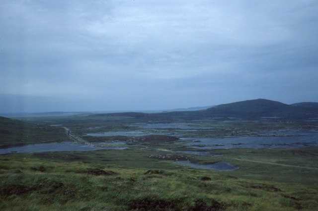
Loch an Duin
Loch an Duin is a complex system of freshwater, brackish and sea lochs, tidal channels and islands, on and close to North Uist off the west coast of Scotland...
Nearby Amenities
Located within 500m of 57.64181,-7.1992139Have you been to Bhoisinis?
Leave your review of Bhoisinis below (or comments, questions and feedback).