Poll an t-Suicair
Sea, Estuary, Creek in Inverness-shire
Scotland
Poll an t-Suicair
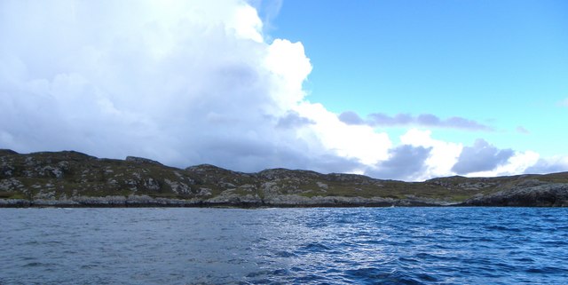
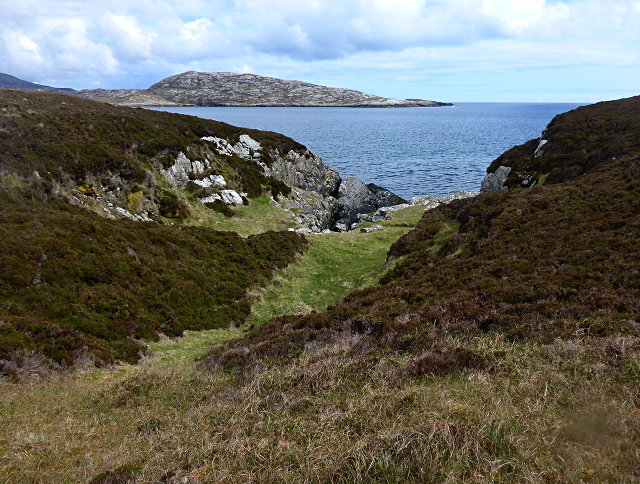
![East coast of Ronay A narrow gap between the tiny island of Eilean na Cloiche [left] and Ronay, leading to a small inlet.](https://s2.geograph.org.uk/geophotos/02/07/34/2073482_b1601bc1.jpg)
Poll an t-Suicair, also known as The Suicair Pool, is a scenic body of water located in Inverness-shire, Scotland. Situated near the village of Invermoriston, it lies within the Great Glen, a famous geological fault line that stretches across the region.
This natural feature can be described as a tidal sea inlet, forming part of the estuary of the River Moriston. With its stunning surroundings of mountains and lush greenery, Poll an t-Suicair offers breathtaking views to visitors. It is a popular spot for both locals and tourists who enjoy its tranquil and picturesque setting.
The pool is influenced by the tides, which cause water levels to rise and fall throughout the day. During high tide, the pool fills with seawater, creating a serene and reflective surface. At low tide, the sandy beach emerges, providing a great opportunity for beachcombing and exploring the marine life in rock pools.
The area surrounding Poll an t-Suicair is abundant in wildlife. Visitors may spot various bird species, including herons and sea birds, as well as seals and otters that often frequent the estuary. The pool is also home to a variety of fish, making it a popular location for anglers.
Access to Poll an t-Suicair is convenient, with a well-maintained path leading to the shore. There are also picnic areas nearby, allowing visitors to relax and take in the scenic beauty while enjoying a meal or snack.
Overall, Poll an t-Suicair is a stunning natural feature that offers a peaceful escape from the bustling city life. Its captivating views and rich biodiversity make it a must-visit destination for nature enthusiasts and those seeking a tranquil experience in the heart of Inverness-shire.
If you have any feedback on the listing, please let us know in the comments section below.
Poll an t-Suicair Images
Images are sourced within 2km of 57.47426/-7.1936354 or Grid Reference NF8854. Thanks to Geograph Open Source API. All images are credited.


Poll an t-Suicair is located at Grid Ref: NF8854 (Lat: 57.47426, Lng: -7.1936354)
Unitary Authority: Na h-Eileanan an Iar
Police Authority: Highlands and Islands
What 3 Words
///popping.extreme.equipping. Near Balivanich, Na h-Eileanan Siar
Related Wikis

Ronay
Ronay (Scottish Gaelic: Rònaigh) is an island in the Outer Hebrides of Scotland, which lies a short distance off the east coast of Grimsay. == Geography... ==

Flodaigh Mòr
Flodaigh Mòr (or Floddaymore) is an uninhabited island in the Outer Hebrides of Scotland. == Geography and geology == Flodaigh Mòr lies east of North Uist...
Grimsay
Grimsay (Scottish Gaelic: Griomasaigh) is a tidal island in the Outer Hebrides of Scotland. == Geography == Grimsay is the largest of the low-lying stepping...

Flodaigh
Flodaigh is a tidal island lying to the north of Benbecula and south of Grimsay in the Outer Hebrides, Scotland. It is connected to Benbecula by a causeway...
Nearby Amenities
Located within 500m of 57.47426,-7.1936354Have you been to Poll an t-Suicair?
Leave your review of Poll an t-Suicair below (or comments, questions and feedback).