Eilean an Teampaill

Island in Inverness-shire

Scotland

Eilean an Teampaill

A small tide-race by Rònaigh The flow here was slightly intimidating to me in a kayak, but I made it through without harm.
A small tide-race by Rònaigh Credit: Toby Speight

Eilean an Teampaill is a small island located in the western part of Inverness-shire, Scotland. With a total area of approximately 0.04 square kilometers, the island is situated in Loch Maree, one of the most picturesque lochs in the region. The name Eilean an Teampaill translates to "Island of the Temple" in English, which reflects the historical significance of the island.

The island is home to the ruins of an ancient chapel, believed to have been built in the 8th century by Saint Maelrubha, a Scottish missionary. It is said that the chapel was a place of pilgrimage during medieval times, attracting people from all over the region. Today, the remains of the chapel still stand, with its stone walls and traces of the original altar.

Eilean an Teampaill is also known for its stunning natural beauty. Surrounded by the tranquil waters of Loch Maree, the island offers breathtaking views of the surrounding mountains and forests. The area is rich in biodiversity, with various bird species, including golden eagles and ospreys, frequently spotted in the vicinity.

Visitors can access the island by boat, as there are no bridges connecting it to the mainland. The calm and peaceful atmosphere of Eilean an Teampaill makes it an ideal destination for nature lovers, history enthusiasts, and those seeking a peaceful retreat in the heart of the Scottish Highlands.

If you have any feedback on the listing, please let us know in the comments section below.

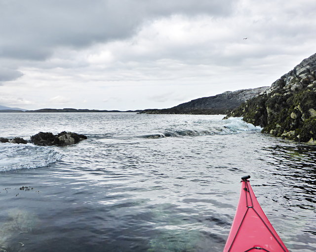
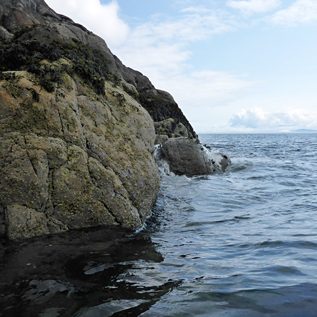
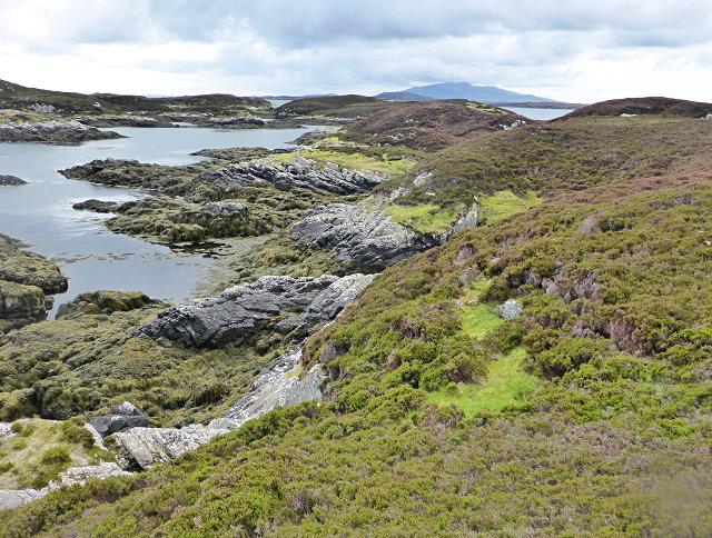
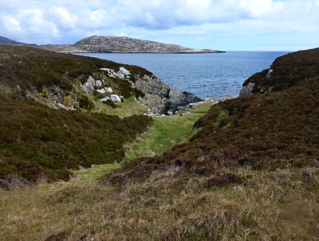
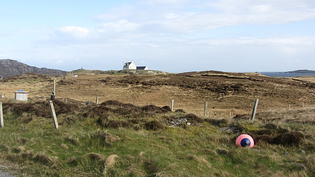
Eilean an Teampaill Images

Images are sourced within 2km of 57.474054/-7.205582 or Grid Reference NF8854. Thanks to Geograph Open Source API. All images are credited.

A small tide-race by Rònaigh The flow here was slightly intimidating to me in a kayak, but I made it through without harm.
A small tide-race by Rònaigh
The flow here was slightly intimidating to me in a kayak, but I made it through without harm.
Rubha na Rodagrich I'm not sure of the correct spelling of the island's name - the spelling given by the OS is inconsistent with conventional Gaelic orthography.
Rubha na Rodagrich
I'm not sure of the correct spelling of the island's name - the spelling given by the OS is inconsistent with conventional Gaelic orthography.
Maragaidh Beag One of many low-lying islands east of the Long Isle.
Maragaidh Beag
One of many low-lying islands east of the Long Isle.
Maragaidh Beag In the background is Beinn Rodagrich, on Rònaigh.
Maragaidh Beag
In the background is Beinn Rodagrich, on Rònaigh.
Ruined buildings at Buaile-mhòr
Bagh Sgotbheinn Not all Hebridean buildings fall into disrepair. I note that Dave Fergusson's 2007 photograph includes this small building, but now, twelve years later it has a new roof and is looking well cared for.
Bagh Sgotbheinn
Not all Hebridean buildings fall into disrepair. I note that Dave Fergusson's 2007 photograph includes this small building, but now, twelve years later it has a new roof and is looking well cared for.
Kallin Harbour, Grimsay
Old harbour, Grimsay A crofthouse sitting on a reclaimed piece of land at Baymore (Bagh mor) which was the main harbour on the island before the Kallin (Ceallan) development.  The harbour is littered with lots of old creels and other flotsam and there are many old stone piers.
Old harbour, Grimsay
A crofthouse sitting on a reclaimed piece of land at Baymore (Bagh mor) which was the main harbour on the island before the Kallin (Ceallan) development. The harbour is littered with lots of old creels and other flotsam and there are many old stone piers.
Kallin Harbour The smaller vessels in the harbour are inshore lobster boats which use creels to trap crabs and lobsters.  The larger vessels are offshore prawn boats which use trawl nets to catch the shellfish.
Kallin Harbour
The smaller vessels in the harbour are inshore lobster boats which use creels to trap crabs and lobsters. The larger vessels are offshore prawn boats which use trawl nets to catch the shellfish.
Cottage on Ronay Ronay
Cottage on Ronay
Ronay
Vallastrome, Kallin The view along the Vallastrome channel towards the biggest hill on the island of Ronaigh. The trig point at 115m can just be seen.
Vallastrome, Kallin
The view along the Vallastrome channel towards the biggest hill on the island of Ronaigh. The trig point at 115m can just be seen.
Coming in to harbour Small fishing boat entering Kallin harbour on a summer evening. This little boat has a 'FY' registration for Fowey in Cornwall, but arrived at Kallin on the back of a lorry. The 'Stelimar'is a local boat based here.
Coming in to harbour
Small fishing boat entering Kallin harbour on a summer evening. This little boat has a 'FY' registration for Fowey in Cornwall, but arrived at Kallin on the back of a lorry. The 'Stelimar'is a local boat based here.
Baymore: postbox № HS6 15 One of four postboxes on the island of Grimsay. Apart from the one on the main road close to the post office, they are emptied at 11:45am on weekdays and at 9:30am on Saturdays.
Baymore: postbox № HS6 15
One of four postboxes on the island of Grimsay. Apart from the one on the main road close to the post office, they are emptied at 11:45am on weekdays and at 9:30am on Saturdays.
Kallin: postbox № HS6 25 One of four postboxes on the island of Grimsay. Apart from the one on the main road close to the post office, they are emptied at 11:45am on weekdays and at 9:30am on Saturdays.
Kallin: postbox № HS6 25
One of four postboxes on the island of Grimsay. Apart from the one on the main road close to the post office, they are emptied at 11:45am on weekdays and at 9:30am on Saturdays.
Kallin: a deer He spotted me as soon as I spotted him!
Kallin: a deer
He spotted me as soon as I spotted him!
Kallin: the harbour Looking across the harbour from the road above.
Kallin: the harbour
Looking across the harbour from the road above.
Kallin: open-air phone box This telephone box is missing two glass panels and also its roof panel, which is leaning against the wall behind the box.
Kallin: open-air phone box
This telephone box is missing two glass panels and also its roof panel, which is leaning against the wall behind the box.
Near Kallin Bog on Grimsay.
Near Kallin
Bog on Grimsay.
Show me another place!

Eilean an Teampaill is located at Grid Ref: NF8854 (Lat: 57.474054, Lng: -7.205582)

Unitary Authority: Na h-Eileanan an Iar

Police Authority: Highlands and Islands

What 3 Words

///driveways.yelled.hasten. Near Balivanich, Na h-Eileanan Siar

Related Wikis

Ronay

Ronay (Scottish Gaelic: Rònaigh) is an island in the Outer Hebrides of Scotland, which lies a short distance off the east coast of Grimsay. == Geography... ==

Grimsay

Grimsay (Scottish Gaelic: Griomasaigh) is a tidal island in the Outer Hebrides of Scotland. == Geography == Grimsay is the largest of the low-lying stepping...

Flodaigh

Flodaigh is a tidal island lying to the north of Benbecula and south of Grimsay in the Outer Hebrides, Scotland. It is connected to Benbecula by a causeway...

Flodaigh Mòr

Flodaigh Mòr (or Floddaymore) is an uninhabited island in the Outer Hebrides of Scotland. == Geography and geology == Flodaigh Mòr lies east of North Uist...

Nearby Amenities

Located within 500m of 57.474054,-7.205582
Created By: dmgroom_coastlines
Lat/Long: 57.47546/-7.20843
Passing Place
Lat/Long: 57.4774803/-7.2042931
Turning Circle
Lat/Long: 57.4751198/-7.2123342
Kallin Shellfish Shop
Addr City: Uibhist a Tuath
Addr City En: Isle of North Uist
Addr Country: GB
Addr Housenumber: 8
Addr Postcode: HS6 5HY
Addr Suburb: Grimsay
Opening Hours: Mo-Fr 09:00-16:00; Sa 10:00-15:00
Shop: seafood
Website: http://www.kallinshellfish.co.uk
Lat/Long: 57.4783071/-7.2053153
Harbour: yes
Port Of Entry: no
Seamark Type: harbour
Lat/Long: 57.4782923/-7.2034371
Power: pole
Lat/Long: 57.4776054/-7.2047432
Power: pole
Lat/Long: 57.4774598/-7.2058596
Power: pole
Lat/Long: 57.4773041/-7.2069452
Power: pole
Lat/Long: 57.4779275/-7.2079651
Power: pole
Lat/Long: 57.4768993/-7.2076452
Power: pole
Lat/Long: 57.4766145/-7.2081254
Power: pole
Lat/Long: 57.4754192/-7.2129263
Power: pole
Lat/Long: 57.4751574/-7.2121383
Barrier: cattle_grid
Lat/Long: 57.477455/-7.2044891
Generator Method: photovoltaic
Generator Output Electricity: small_installation
Generator Source: solar
Generator Type: solar_photovoltaic_panel
Power: generator
Lat/Long: 57.4778105/-7.2063548
Turning Circle
Turning Circle: knuckle
Lat/Long: 57.476268/-7.2075604
Generator Method: photovoltaic
Generator Output Electricity: small_installation
Generator Source: solar
Generator Type: solar_photovoltaic_panel
Power: generator
Lat/Long: 57.475031/-7.211693
The data included in this document is from www.openstreetmap.org. The data is made available under ODbL.

Have you been to Eilean an Teampaill?

Leave your review of Eilean an Teampaill below (or comments, questions and feedback).