Cove Vean

Sea, Estuary, Creek in Cornwall

England

Cove Vean

Field with prehistoric cairn and field system To the east of Barnaby Lane, which runs just over the wall on the right.

Scheduled Monument List Entry Number:1015002  <span class="nowrap"><a title="https://historicengland.org.uk/listing/the-list/list-entry/1015002?section=official-list-entry" rel="nofollow ugc noopener" href="https://historicengland.org.uk/listing/the-list/list-entry/1015002?section=official-list-entry">Link</a><img style="margin-left:2px;" alt="External link" title="External link - shift click to open in new window" src="https://s1.geograph.org.uk/img/external.png" width="10" height="10"/></span>
Field with prehistoric cairn and field system Credit: David Lally

Cove Vean is a picturesque coastal area located in Cornwall, England. Situated near the village of St Just in Roseland, it is known for its stunning sea views, estuary, and creek.

The area offers visitors a tranquil and idyllic setting, with its unspoiled natural beauty and peaceful atmosphere. The sea at Cove Vean is crystal clear, with gentle waves lapping against the shore. It is a popular spot for swimming, snorkeling, and sunbathing during the summer months.

The estuary at Cove Vean is a haven for wildlife enthusiasts, as it is home to a variety of bird species, including herons, oystercatchers, and curlews. The estuary is also teeming with marine life, such as seals and dolphins, making it a great spot for wildlife watching.

A charming creek runs through Cove Vean, offering a picturesque setting for boating and kayaking. With its calm waters and stunning surroundings, it is a favorite spot for water sports enthusiasts and nature lovers alike.

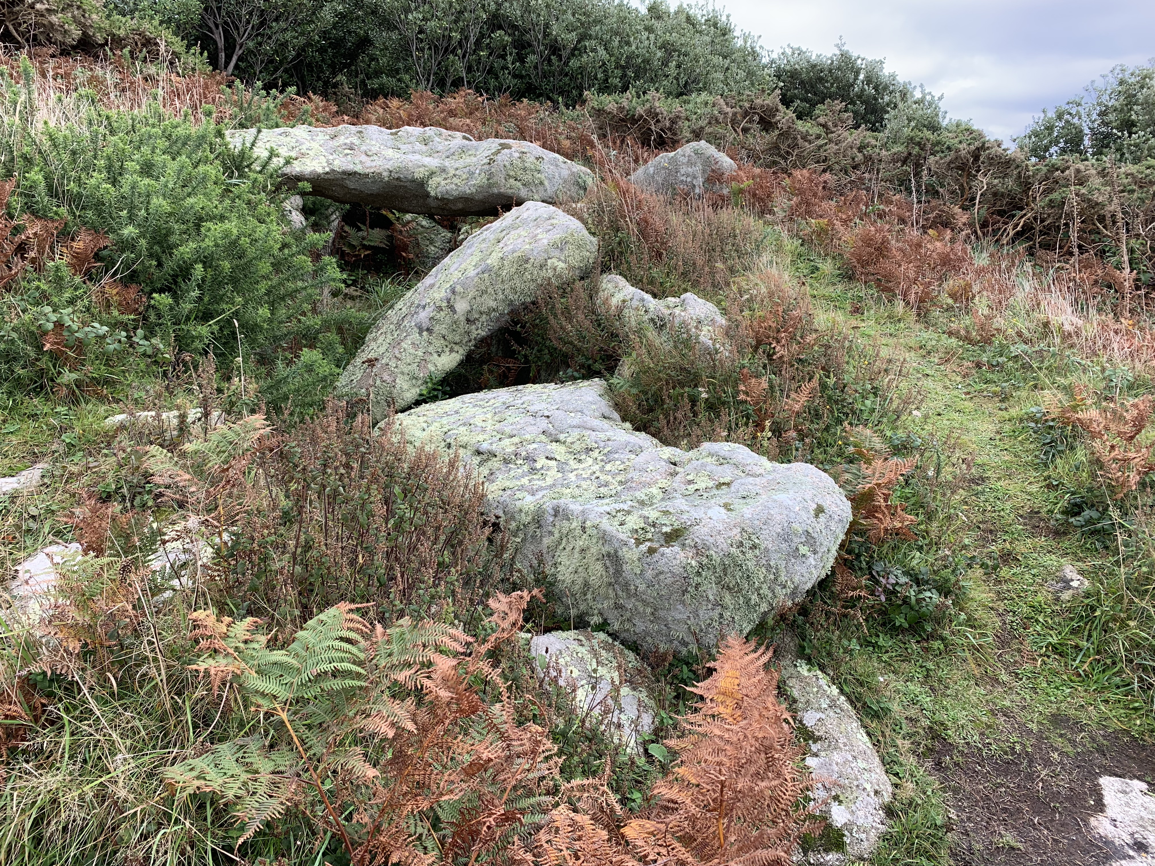
In addition to its natural beauty, Cove Vean boasts a rich history. The area is dotted with ancient ruins and relics, providing a glimpse into its past. Visitors can explore the remnants of old fishing huts and stone structures, adding to the area's charm and allure.

Overall, Cove Vean is a hidden gem in Cornwall, offering visitors a chance to escape the hustle and bustle of everyday life and immerse themselves in the beauty of nature. Whether it's enjoying the sea, exploring the estuary, or navigating the creek, Cove Vean is a must-visit destination for anyone seeking tranquility and natural splendor.

If you have any feedback on the listing, please let us know in the comments section below.

Cove Vean Images

Images are sourced within 2km of 49.891012/-6.3380476 or Grid Reference SV8808. Thanks to Geograph Open Source API. All images are credited.

Field with prehistoric cairn and field system To the east of Barnaby Lane, which runs just over the wall on the right.

Scheduled Monument List Entry Number:1015002  <span class="nowrap"><a title="https://historicengland.org.uk/listing/the-list/list-entry/1015002?section=official-list-entry" rel="nofollow ugc noopener" href="https://historicengland.org.uk/listing/the-list/list-entry/1015002?section=official-list-entry">Link</a><img style="margin-left:2px;" alt="External link" title="External link - shift click to open in new window" src="https://s1.geograph.org.uk/img/external.png" width="10" height="10"/></span>
Field with prehistoric cairn and field system
To the east of Barnaby Lane, which runs just over the wall on the right. Scheduled Monument List Entry Number:1015002 LinkExternal link
Table laid-out for the St Agnes Coronation Street Party The “street” in this case is Old Lane.  No traffic order is required to close the road here! The Island Hall on the left had tables groaning under the weight of many cakes and other treats.
Table laid-out for the St Agnes Coronation Street Party
The “street” in this case is Old Lane. No traffic order is required to close the road here! The Island Hall on the left had tables groaning under the weight of many cakes and other treats.
Remains of a 19th century gig-shed On the north east edge of Per Askin. 

Of all the islands St Agnes as it is the most south westerly was in the best-placed to spot incoming vessels and launch a pilot-gig . Per Askin at the south west of the island would further increase the chance of getting a pilot aboard first. St Agnes pilots (typically named Hicks)  would then guide the ships as far as Bristol or the south coast ports. A major source of income for the Island throughout the 19th century.

A Scheduled Monument List Entry Number:1009280 <span class="nowrap"><a title="https://historicengland.org.uk/listing/the-list/list-entry/1009280?section=official-list-entry" rel="nofollow ugc noopener" href="https://historicengland.org.uk/listing/the-list/list-entry/1009280?section=official-list-entry">Link</a><img style="margin-left:2px;" alt="External link" title="External link - shift click to open in new window" src="https://s1.geograph.org.uk/img/external.png" width="10" height="10"/></span>
Remains of a 19th century gig-shed
On the north east edge of Per Askin. Of all the islands St Agnes as it is the most south westerly was in the best-placed to spot incoming vessels and launch a pilot-gig . Per Askin at the south west of the island would further increase the chance of getting a pilot aboard first. St Agnes pilots (typically named Hicks) would then guide the ships as far as Bristol or the south coast ports. A major source of income for the Island throughout the 19th century. A Scheduled Monument List Entry Number:1009280 LinkExternal link
A stile to Browarth A tad more conventional than 15 years ago <a href="https://www.geograph.org.uk/photo/827432">SV8708 : Crate Based Stile</a>.
A stile to Browarth
A tad more conventional than 15 years ago SV8708 : Crate Based Stile.
Two post-medieval quays These quays are believed to have been built to land coal for the St Agnes lighthouse.

For more details see the details on their Historic England listing:
List Entry Number:1016512. <span class="nowrap"><a title="https://historicengland.org.uk/listing/the-list/list-entry/1016512?section=official-list-entry" rel="nofollow ugc noopener" href="https://historicengland.org.uk/listing/the-list/list-entry/1016512?section=official-list-entry">Link</a><img style="margin-left:2px;" alt="External link" title="External link - shift click to open in new window" src="https://s1.geograph.org.uk/img/external.png" width="10" height="10"/></span>

The named quay “Uncle Tom’s Quay” is the more eroded of the two but can still be discerned to the right of the picture surmounted by a herring gull.
Two post-medieval quays
These quays are believed to have been built to land coal for the St Agnes lighthouse. For more details see the details on their Historic England listing: List Entry Number:1016512. LinkExternal link The named quay “Uncle Tom’s Quay” is the more eroded of the two but can still be discerned to the right of the picture surmounted by a herring gull.
A fork in the path Compare with <a href="https://www.geograph.org.uk/photo/821812">SV8908 : A Fork in the Path</a> taken by me one day short of fifteen years ago.
A fork in the path
Compare with SV8908 : A Fork in the Path taken by me one day short of fifteen years ago.
The Bar from Gugh A picture postcard scene, but a must to take on a walk around Hoe point today
The Bar from Gugh
A picture postcard scene, but a must to take on a walk around Hoe point today
Sunrise over Gugh
Sunrise over Gugh
Sunrise over Penninis Glad I decided to walk this way this morning.
Sunrise over Penninis
Glad I decided to walk this way this morning.
Crooked Rock One of the named granite outcrops on Wingletang.
Crooked Rock
One of the named granite outcrops on Wingletang.
Refloating Elvera This small launch is probably about 90 years old now.

It's spent the winter in a nearby field undergoing "months of work" according to its owner (on the right of the picture standing on the slipway.)

I expressed surprise that they had towed it down at such a low tide "You are going to let the tide float her?" "Yes, she's full of leaks".
Refloating Elvera
This small launch is probably about 90 years old now. It's spent the winter in a nearby field undergoing "months of work" according to its owner (on the right of the picture standing on the slipway.) I expressed surprise that they had towed it down at such a low tide "You are going to let the tide float her?" "Yes, she's full of leaks".
The St Agnes Lighthouse and attached house From Old lane.

The lighthouse is both a Grade II* listed building List Entry Number:1328835 <span class="nowrap"><a title="https://historicengland.org.uk/listing/the-list/list-entry/1328835" rel="nofollow ugc noopener" href="https://historicengland.org.uk/listing/the-list/list-entry/1328835">Link</a><img style="margin-left:2px;" alt="External link" title="External link - shift click to open in new window" src="https://s1.geograph.org.uk/img/external.png" width="10" height="10"/></span>

and a Scheduled Monument List Entry Number:1014999 <span class="nowrap"><a title="https://historicengland.org.uk/listing/the-list/list-entry/1014999?section=official-list-entry" rel="nofollow ugc noopener" href="https://historicengland.org.uk/listing/the-list/list-entry/1014999?section=official-list-entry">Link</a><img style="margin-left:2px;" alt="External link" title="External link - shift click to open in new window" src="https://s1.geograph.org.uk/img/external.png" width="10" height="10"/></span>

The house is Grade II List Entry Number:1218288 <span class="nowrap"><a title="https://historicengland.org.uk/listing/the-list/list-entry/1218288" rel="nofollow ugc noopener" href="https://historicengland.org.uk/listing/the-list/list-entry/1218288">Link</a><img style="margin-left:2px;" alt="External link" title="External link - shift click to open in new window" src="https://s1.geograph.org.uk/img/external.png" width="10" height="10"/></span>
The St Agnes Lighthouse and attached house
From Old lane. The lighthouse is both a Grade II* listed building List Entry Number:1328835 LinkExternal link and a Scheduled Monument List Entry Number:1014999 LinkExternal link The house is Grade II List Entry Number:1218288 LinkExternal link
Aboard The Sapphire It was great to have this fine Association (<span class="nowrap"><a title="https://www.scillyboating.co.uk" rel="nofollow ugc noopener" href="https://www.scillyboating.co.uk">Link</a><img style="margin-left:2px;" alt="External link" title="External link - shift click to open in new window" src="https://s1.geograph.org.uk/img/external.png" width="10" height="10"/></span> ) open boat to ourselves.  It had just dropped off a full load of day-trippers from St Mary's on the St Agnes quay.  We "hitched" a ride back to St Mary's as the Spirit of St Agnes was out of service due to engine trouble.
Aboard The Sapphire
It was great to have this fine Association (LinkExternal link ) open boat to ourselves. It had just dropped off a full load of day-trippers from St Mary's on the St Agnes quay. We "hitched" a ride back to St Mary's as the Spirit of St Agnes was out of service due to engine trouble.
Refloating Elvera Taken a few minutes before <a href="https://www.geograph.org.uk/photo/7486422">SV8708 : Refloating Elvera</a>. This shows a family group bringing an heirloom back into use.

60 years ago this little launch would take my family (weather permitting) to Catholic Mass on St Mary's when holidaying on St Agnes . It would be sailed by the father of the man on driving the tractor and grandfather of the two men at the stern of the boat.
Refloating Elvera
Taken a few minutes before SV8708 : Refloating Elvera. This shows a family group bringing an heirloom back into use. 60 years ago this little launch would take my family (weather permitting) to Catholic Mass on St Mary's when holidaying on St Agnes . It would be sailed by the father of the man on driving the tractor and grandfather of the two men at the stern of the boat.
Refloating Elvera Taken a minute or two after <a href="https://www.geograph.org.uk/photo/7491445">SV8708 : Refloating Elvera</a>. See that for a bit of history.
Refloating Elvera
Taken a minute or two after SV8708 : Refloating Elvera. See that for a bit of history.
Dropnose just before sunrise
Old Lane A small group of isolated cottages between the lighthouse and Periglis do not merit even a Scillonian recognition as a "Town".
Old Lane
A small group of isolated cottages between the lighthouse and Periglis do not merit even a Scillonian recognition as a "Town".
Tresco will be busy today Three cruise ships in The Road today.  No doubt the most popular shore trip will be to Tesco's famous sub-tropical gardens.  As long as they keep away from St Agnes, that will be fine.

The boat heading into Perconger is the St Agnes boating's sea taxi craft "Enterprise".
Tresco will be busy today
Three cruise ships in The Road today. No doubt the most popular shore trip will be to Tesco's famous sub-tropical gardens. As long as they keep away from St Agnes, that will be fine. The boat heading into Perconger is the St Agnes boating's sea taxi craft "Enterprise".
Show me another place!

Cove Vean is located at Grid Ref: SV8808 (Lat: 49.891012, Lng: -6.3380476)

Division: Isles of Scilly

Unitary Authority: Isles of Scilly

Police Authority: Devon and Cornwall

What 3 Words

///mentions.pigment.blotchy. Near St Agnes, Isles of Scilly

Related Wikis

Nearby Amenities

Located within 500m of 49.891012,-6.3380476
Source: PGS
Lat/Long: 49.8940539/-6.3378121
The Cove
Natural: bay
Lat/Long: 49.8920419/-6.336268
Cafe
Covean Cottage Tea Rooms
Lat/Long: 49.8932384/-6.3400941
Post Box
Collection Times: Mo-Fr 13:00
Operator: Royal Mail
Operator Wikidata: Q638098
Post Box Mounting: building
Post Box Type: lamp
Ref: TR22 227
Royal Cypher: EIIR
Royal Cypher Wikidata: Q33102113
Source: aerial imagery;survey
Lat/Long: 49.8920919/-6.3431299
Telephone
Booth: K6
Covered: booth
Listed Status: Grade II
Phone: +44 1720 422379
Wikidata: Q26580093
Lat/Long: 49.8921282/-6.3442963
Source: PGS
Lat/Long: 49.8909082/-6.3392335
Higher Town
Name Kw: Trewartha
Place: hamlet
Lat/Long: 49.8930362/-6.3408489
Middle Town
Name Kw: Tregres
Place: hamlet
Wikidata: Q38250904
Wikipedia: en:Middle Town, St Agnes
Lat/Long: 49.8921676/-6.3444979
Post Office
St Agnes Post Office
Addr Postcode: TR22 0PL
Brand: Post Office
Brand Wikidata: Q1783168
Opening Hours: Mo-Fr 09:00-12:00,13:00-17:00; Sa 09:00-12:30
Ref Pol Id: 14061
Website: https://www.postoffice.co.uk/branch-finder/375555x/st-agnes
Lat/Long: 49.892019/-6.3431473
Generator Method: photovoltaic
Generator Output Electricity: yes
Generator Source: solar
Generator Type: solar_photovoltaic_panel
Location: roof
Power: generator
Lat/Long: 49.8925842/-6.3439098
Generator Method: photovoltaic
Generator Output Electricity: yes
Generator Source: solar
Generator Type: solar_photovoltaic_panel
Location: roof
Power: generator
Lat/Long: 49.8916486/-6.3435128
Generator Method: photovoltaic
Generator Output Electricity: yes
Generator Source: solar
Generator Type: solar_photovoltaic_panel
Location: roof
Power: generator
Lat/Long: 49.891868/-6.3441412
The Punch Bowl
Natural: rock
Lat/Long: 49.8873481/-6.3413958
Wingletang Down
Place: locality
Lat/Long: 49.8874789/-6.3406494
Direction: S
Generator Method: photovoltaic
Generator Output Electricity: yes
Generator Source: solar
Generator Type: solar_photovoltaic_panel
Location: roof
Power: generator
Lat/Long: 49.8918423/-6.3435019
The data included in this document is from www.openstreetmap.org. The data is made available under ODbL.

Have you been to Cove Vean?

Leave your review of Cove Vean below (or comments, questions and feedback).