Tol Tuppens
Coastal Feature, Headland, Point in Cornwall
England
Tol Tuppens

Tol Tuppens is a prominent headland located on the southern coast of Cornwall, England. Situated near the coastal village of Porthleven, this picturesque point juts out into the Atlantic Ocean, offering breathtaking panoramic views of the surrounding landscape.
Characterized by its rugged cliffs and rocky shoreline, Tol Tuppens is a popular destination for nature enthusiasts and hikers alike. The headland is known for its diverse wildlife, with numerous seabirds, including gulls and cormorants, nesting along its cliffs. Visitors can often spot seals and dolphins swimming in the waters below, further enhancing the area's appeal.
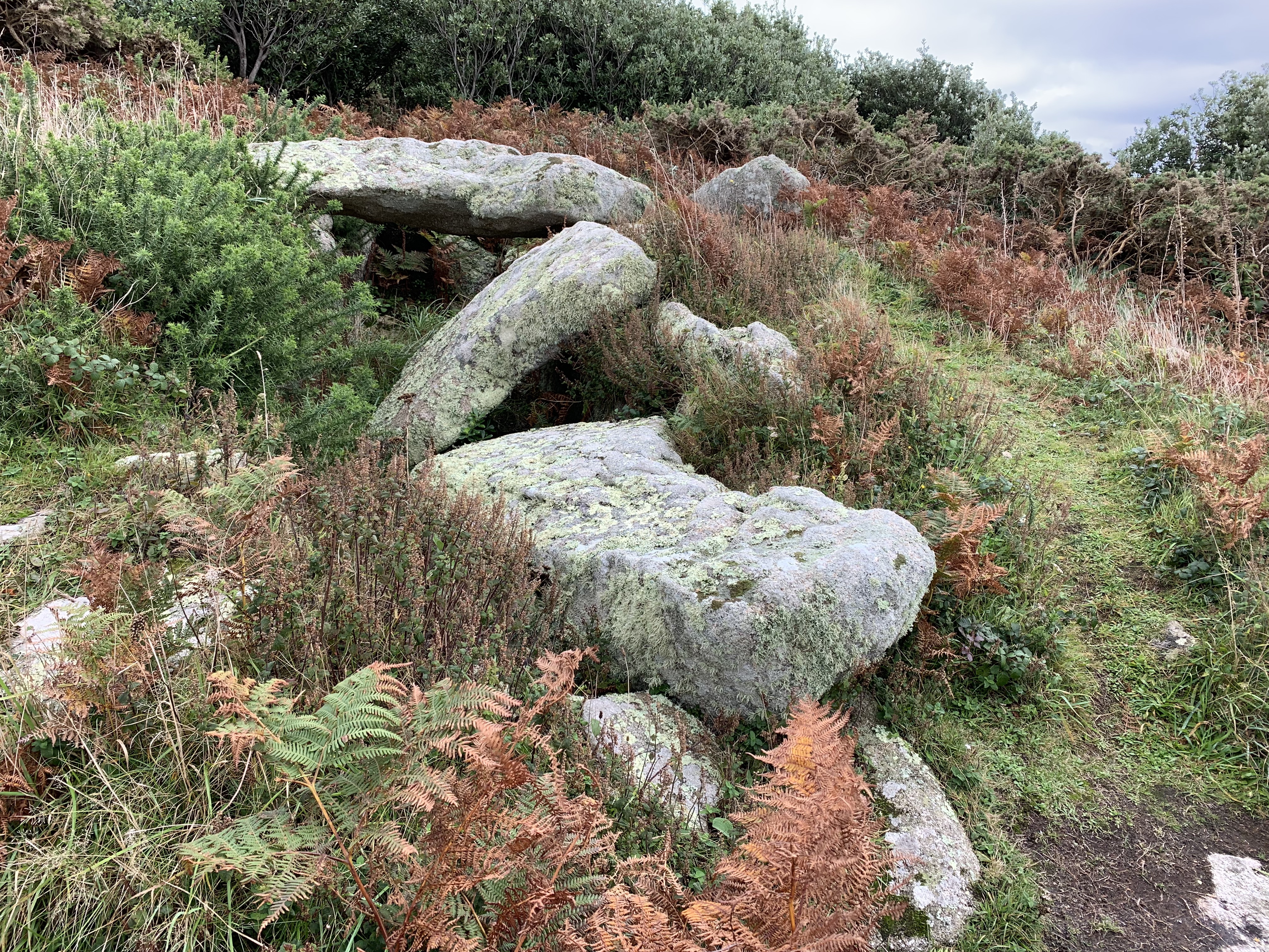
The cliffs of Tol Tuppens are composed of slate and granite, showcasing the region's geological diversity. These towering rock formations not only provide a dramatic backdrop but also serve as a testament to the area's rich geological history.
A well-maintained footpath winds its way around the headland, offering stunning views at every turn. Hikers can explore the area's natural beauty, observing the wildflowers and grasses that cling to the cliff faces. The path also leads to several hidden coves and secluded beaches, perfect for a peaceful retreat or a refreshing dip in the ocean.
Tol Tuppens is a site of cultural significance as well. The headland is home to an ancient hillfort, dating back to the Iron Age, which adds an element of historical intrigue to the area.
Overall, Tol Tuppens is a captivating coastal feature that showcases the natural beauty and diverse ecosystem of Cornwall. Whether visitors come for the wildlife, the geology, or the historical sites, this headland offers a memorable experience for all who venture to its shores.
If you have any feedback on the listing, please let us know in the comments section below.
Tol Tuppens Images
Images are sourced within 2km of 49.897081/-6.3377012 or Grid Reference SV8808. Thanks to Geograph Open Source API. All images are credited.


Tol Tuppens is located at Grid Ref: SV8808 (Lat: 49.897081, Lng: -6.3377012)
Division: Isles of Scilly
Unitary Authority: Isles of Scilly
Police Authority: Devon and Cornwall
What 3 Words
///rollover.cloud.bloomers. Near St Agnes, Isles of Scilly
Nearby Locations
Related Wikis
Obadiah's Barrow
Obadiah's Barrow or Obadiah's Grave is a Neolithic entrance grave located on the island of Gugh in the Isles of Scilly. The grave sits on a steep slope...

Gugh
Gugh ( GHEW; Cornish: Keow, lit. 'hedge banks') could be described as the sixth inhabited island of the Isles of Scilly, but is usually included with St...

Middle Town, St Agnes
Middle Town (Cornish: Tregres) is a small settlement on the island of St Agnes. It includes the island's primary school, post office and general store...

St Agnes, Isles of Scilly
St Agnes (Cornish: Agenys) is the southernmost populated island of the Isles of Scilly. Thus the island's Troy Town Farm is the southernmost settlement...

Bible Christian Chapel, St Agnes, Isles of Scilly
The Bible Christian Chapel, St Agnes was a Bible Christian chapel in St Agnes, Isles of Scilly. == History == Bible Christians arrived in St Agnes in the...

St Agnes Lifeboat Station, Isles of Scilly
St Agnes' Lifeboat Station was situated in St Agnes, Isles of Scilly and provided a service for the Royal National Lifeboat Institution from 1891 to 1920...

Wingletang Down (St Agnes)
Wingletang Down is a Site of Special Scientific Interest (SSSI) on the southern side of the island of St Agnes in the Isles of Scilly, England, UK, which...

Bartholomew Ledges Wreck
The Bartholomew Ledges Wreck is a wreck found in the late 1970s at St Marys Sound, Isles of Scilly is believed to be that of a mid-sixteenth to early seventeenth...
Nearby Amenities
Located within 500m of 49.897081,-6.3377012Have you been to Tol Tuppens?
Leave your review of Tol Tuppens below (or comments, questions and feedback).