Port nan Long

Sea, Estuary, Creek in Inverness-shire

Scotland

Port nan Long

Rocks and sand at Rubha Bhoisnis
Rocks and sand at Rubha Bhoisnis Credit: Sandy Gerrard

Port nan Long is a small coastal settlement located in Inverness-shire, Scotland. Situated along the eastern coast of the region, it overlooks the North Sea. The name "Port nan Long" translates to "Harbour of Ships" in Gaelic, a testament to its historical significance as a maritime hub.

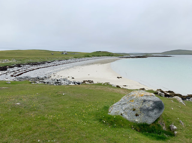
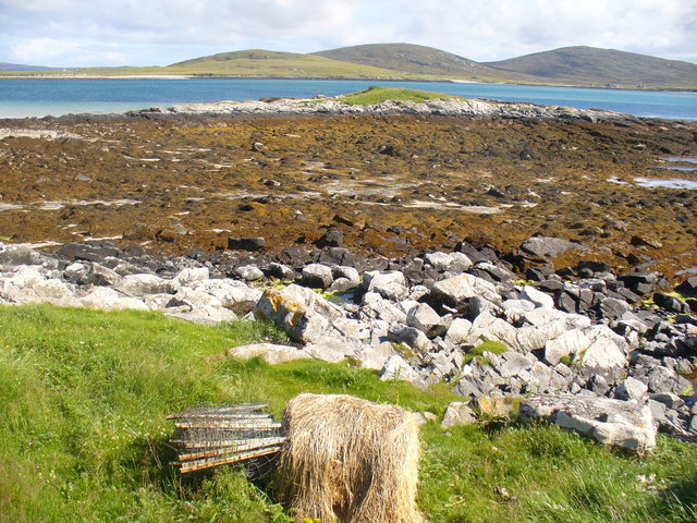
The settlement is nestled within a picturesque estuary, where the River Ness flows into the sea. This natural feature not only enhances the area's scenic beauty but also provides a sheltered environment for various aquatic species. The estuary serves as a breeding ground for several fish species and attracts a diverse array of birdlife.

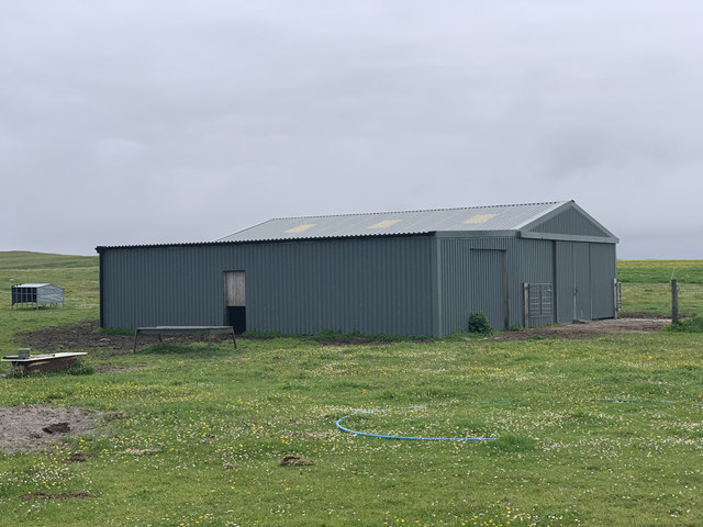
The settlement itself is small, comprising a handful of houses and a small harbor. The harbor at Port nan Long is a focal point for the local community, with fishing and boating activities being a common sight. The harbor is primarily used by local fishermen who rely on the sea for their livelihood.

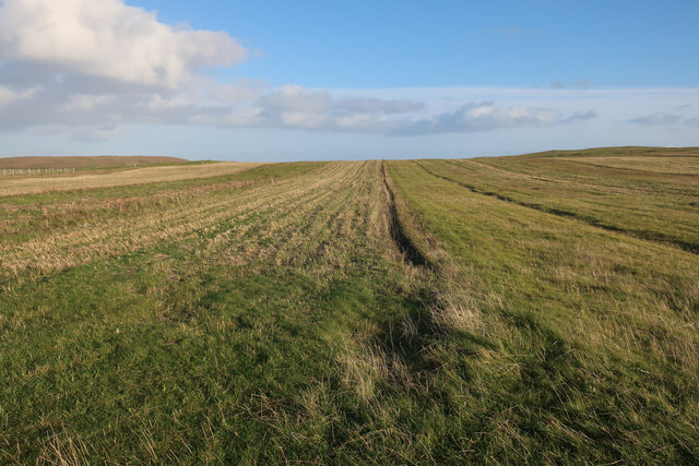
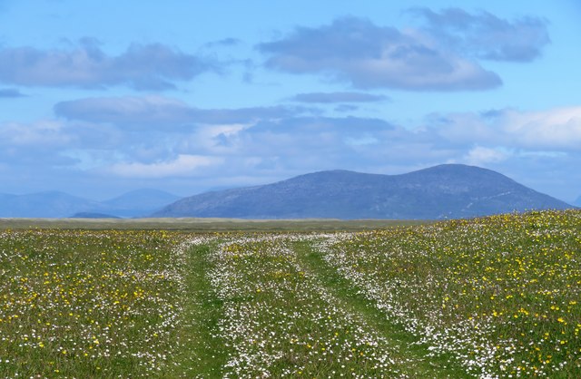
The surrounding landscape is characterized by rolling hills and lush greenery, offering breathtaking views of the coastline. The area is popular among visitors for its tranquil atmosphere, making it an ideal destination for those seeking a peaceful retreat. Outdoor enthusiasts can explore the nearby coastal paths, taking in the fresh sea air and enjoying the stunning vistas.

Overall, Port nan Long in Inverness-shire is a charming coastal settlement that combines natural beauty with a rich maritime heritage. Its estuary, creek, and proximity to the North Sea make it an appealing destination for nature lovers and those seeking a serene coastal experience.

If you have any feedback on the listing, please let us know in the comments section below.

Port nan Long Images

Images are sourced within 2km of 57.690417/-7.2110319 or Grid Reference NF8978. Thanks to Geograph Open Source API. All images are credited.

Rocks and sand at Rubha Bhoisnis
Stubble field on Berneray
Sandy shores on Berneray One of the island's smaller beaches facing south towards North Uist and with the tiny island of Eilean an Dunain at the far end.
Sandy shores on Berneray
One of the island's smaller beaches facing south towards North Uist and with the tiny island of Eilean an Dunain at the far end.
Oystercatchers on the beach You are never far away from the sight or loud piping of oystercatchers on the Western Isles. This view is south towards the small island of Lingeigh [to the right] with the hills of North Uist beyond.
Oystercatchers on the beach
You are never far away from the sight or loud piping of oystercatchers on the Western Isles. This view is south towards the small island of Lingeigh [to the right] with the hills of North Uist beyond.
Track across the machair The machair on Berneray is as fine as anywhere along the Western Isles. The colours are mostly white and yellow from daisies, clover and buttercups, whilst the clover fills the air with a sweet perfume.
Track across the machair
The machair on Berneray is as fine as anywhere along the Western Isles. The colours are mostly white and yellow from daisies, clover and buttercups, whilst the clover fills the air with a sweet perfume.
Curious lumps and bumps above the shore Initial thoughts were that these shallow impressions in the grass just above the shoreline were similar to hollows seen on the coastline of Orkney where boats were stored away from the wind and waves, but these were obviously different. In fact these are the scant remains of old cottage outlines, the seawards ends having been eroded away. A local informed me that this was once the site of a village which had been abandoned due to damage by storms.
Curious lumps and bumps above the shore
Initial thoughts were that these shallow impressions in the grass just above the shoreline were similar to hollows seen on the coastline of Orkney where boats were stored away from the wind and waves, but these were obviously different. In fact these are the scant remains of old cottage outlines, the seawards ends having been eroded away. A local informed me that this was once the site of a village which had been abandoned due to damage by storms.
Thrift on the seashore A nice example of thrift or sea pink, seemingly happy to survive just above the high tide line at Rubha Bhoisnis.
Thrift on the seashore
A nice example of thrift or sea pink, seemingly happy to survive just above the high tide line at Rubha Bhoisnis.
Beach on the south coast of Berneray
Agricultural building, South Berneray Close to the end of the motor road that runs south-west from the west end of Borgh.
Agricultural building, South Berneray
Close to the end of the motor road that runs south-west from the west end of Borgh.
Angus Macaskill Monument Monument to Angus Macaskill who was known as the Nova Scotia Giant who was born at this location in 1825.
Angus Macaskill Monument
Monument to Angus Macaskill who was known as the Nova Scotia Giant who was born at this location in 1825.
Blackhouse earthworks at Sheabie
Bay by Cnoc nan Claigean Sandy bay, with some rocks, on the south shore of Berneray.
<span class="nowrap"><a title="http://www.isleofberneray.com/" rel="nofollow ugc noopener" href="http://www.isleofberneray.com/">Link</a><img style="margin-left:2px;" alt="External link" title="External link - shift click to open in new window" src="https://s1.geograph.org.uk/img/external.png" width="10" height="10"/></span>
Bay by Cnoc nan Claigean
Sandy bay, with some rocks, on the south shore of Berneray. LinkExternal link
Bay South of Cnoc nan Claigeann Sandy bay, backed by machair, on the southern coast of Berneray.
<span class="nowrap"><a title="http://www.isleofberneray.com/" rel="nofollow ugc noopener" href="http://www.isleofberneray.com/">Link</a><img style="margin-left:2px;" alt="External link" title="External link - shift click to open in new window" src="https://s1.geograph.org.uk/img/external.png" width="10" height="10"/></span>
Bay South of Cnoc nan Claigeann
Sandy bay, backed by machair, on the southern coast of Berneray. LinkExternal link
Foreshore by Eilean an Dunain Rocky seaweed-covered shore on the Sound of Berneray.
<span class="nowrap"><a title="http://www.isleofberneray.com/" rel="nofollow ugc noopener" href="http://www.isleofberneray.com/">Link</a><img style="margin-left:2px;" alt="External link" title="External link - shift click to open in new window" src="https://s1.geograph.org.uk/img/external.png" width="10" height="10"/></span>
Foreshore by Eilean an Dunain
Rocky seaweed-covered shore on the Sound of Berneray. LinkExternal link
Scale Model 1991 cairn on Berneray's southern shore. The height of it is 7 feet 9 inches, reputed to be the height of an Angus Macaskill who lived close to this spot. Angus emigrated, with his family, to Nova Scotia when he was just 6 years old.
<span class="nowrap"><a title="http://www.isleofberneray.com/" rel="nofollow ugc noopener" href="http://www.isleofberneray.com/">Link</a><img style="margin-left:2px;" alt="External link" title="External link - shift click to open in new window" src="https://s1.geograph.org.uk/img/external.png" width="10" height="10"/></span>
Scale Model
1991 cairn on Berneray's southern shore. The height of it is 7 feet 9 inches, reputed to be the height of an Angus Macaskill who lived close to this spot. Angus emigrated, with his family, to Nova Scotia when he was just 6 years old. LinkExternal link
Machair flowers in September In this more sheltered spot the machair is still colourful.
Machair flowers in September
In this more sheltered spot the machair is still colourful.
Glistening shore near Cnoc nan Claigeann Westerly waves sweep into the bay created by the new Berneray causeway.
Glistening shore near Cnoc nan Claigeann
Westerly waves sweep into the bay created by the new Berneray causeway.
The quiet bay on the south coast of Berneray A lovely spot.  Intrigued by the comment on Geograph <a href="https://www.geograph.org.uk/photo/2687192">NF8980 : Glistening shore near Cnoc nan Claigeann</a> that the sandy bay is a by-product of the construction of the causeway between Berneray and North Uist  My old 1 inch map dating from 1959 when Berneray was a true island does not show any sand along this stretch of coast.  Certainly the tidal streams are fast around Berneray, so this is a natural consequence of removing flow through a natural channel.
The quiet bay on the south coast of Berneray
A lovely spot. Intrigued by the comment on Geograph NF8980 : Glistening shore near Cnoc nan Claigeann that the sandy bay is a by-product of the construction of the causeway between Berneray and North Uist My old 1 inch map dating from 1959 when Berneray was a true island does not show any sand along this stretch of coast. Certainly the tidal streams are fast around Berneray, so this is a natural consequence of removing flow through a natural channel.
Show me another place!

Port nan Long is located at Grid Ref: NF8978 (Lat: 57.690417, Lng: -7.2110319)

Unitary Authority: Na h-Eileanan an Iar

Police Authority: Highlands and Islands

What 3 Words

///flag.flagging.plodding. Near Lochmaddy, Na h-Eileanan Siar

Related Wikis

Newtonferry

Newtonferry (Scottish Gaelic: Port nan Long, "the harbour of the ships") is a small crofting community on the island of North Uist in the Western Isles...
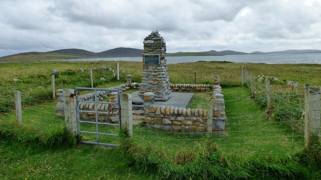
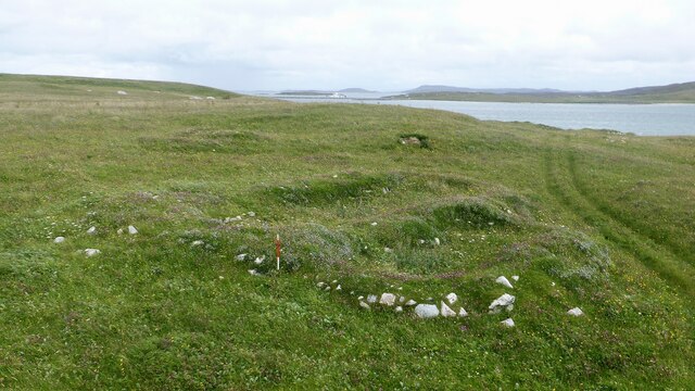
Dun an Sticir

Dun an Sticir (Scottish Gaelic: Dùn an Sticir [ˈt̪un əɲ ˈʃtʲiçkʲɪɾʲ]) is an Iron Age broch situated approximately 9.5 kilometers north of Lochmaddy in...

Otternish

Otternish is the former North Uist terminal for the ferry to Berneray, in the Outer Hebrides, Scotland. The slipway lies 6 miles (10 km) north of Lochmaddy...

North Uist Machair and Islands

The North Uist Machair and Islands is a protected wetland area in the Outer Hebrides of Scotland. A total of 4,705 hectares comprises seven separate areas...

Nearby Amenities

Located within 500m of 57.690417,-7.2110319
Created By: dmgroom_coastlines
Lat/Long: 57.69332/-7.20462
Created By: dmgroom_coastlines
Lat/Long: 57.68712/-7.20995
Created By: dmgroom_coastlines
Lat/Long: 57.68807/-7.20512
Turning Circle
Lat/Long: 57.6870972/-7.2116052
Passing Place
Lat/Long: 57.6924358/-7.2046142
Passing Place
Lat/Long: 57.6929226/-7.2040595
Barrier: cattle_grid
Lat/Long: 57.6898691/-7.2050477
Passing Place
Lat/Long: 57.6918635/-7.2050271
Port nan Long
Name En: Newtonferry
Name Gd: Port nan Long
Place: hamlet
Wikidata: Q13157688
Wikipedia: en:Newtonferry
Lat/Long: 57.6868544/-7.2120202
Port nan Long
Natural: bay
Lat/Long: 57.688919/-7.2094131
Passing Place
Lat/Long: 57.6907429/-7.2050934
Power: pole
Lat/Long: 57.6862899/-7.2135893
Power: pole
Lat/Long: 57.6866283/-7.2130127
Power: pole
Lat/Long: 57.6869036/-7.2125004
Power: pole
Lat/Long: 57.6871229/-7.2122321
Power: pole
Lat/Long: 57.6864161/-7.2135464
The data included in this document is from www.openstreetmap.org. The data is made available under ODbL.

Have you been to Port nan Long?

Leave your review of Port nan Long below (or comments, questions and feedback).