Cnoc Raineach

Hill, Mountain in Inverness-shire

Scotland

Cnoc Raineach

Beach on the south coast of Berneray
Beach on the south coast of Berneray Credit: John Allan

Cnoc Raineach is a prominent hill located in Inverness-shire, Scotland. Situated in the Scottish Highlands, it stands at an elevation of 835 meters (2,740 feet) above sea level. The hill is part of a range known as the Monadhliath Mountains, which stretches across a vast area of Inverness-shire and neighboring regions.

Cnoc Raineach offers breathtaking panoramic views of the surrounding landscape, including the stunning Lochs Farr, Moy, and Ruthven. Its location also provides a perfect vantage point to observe the diverse wildlife of the region. The hill is home to several species of birds, such as golden eagles, peregrine falcons, and ptarmigans. Visitors may also encounter red deer and mountain hares, which are common in the area.

The ascent to the summit of Cnoc Raineach can be challenging, with steep slopes and rocky terrain. However, the effort is rewarded by the stunning scenery and a sense of accomplishment upon reaching the top. The hill attracts both experienced hikers and nature enthusiasts looking to immerse themselves in the tranquility of the Scottish Highlands.

Due to its remote location, it is advisable for visitors to be well-prepared with appropriate clothing, footwear, and navigation equipment. The weather in the area can be changeable, so it is essential to check forecasts and be prepared for potential fluctuations in conditions.

Cnoc Raineach offers a captivating glimpse into the natural beauty of Inverness-shire, making it a must-visit destination for outdoor enthusiasts and those seeking a memorable experience in the Scottish Highlands.

If you have any feedback on the listing, please let us know in the comments section below.

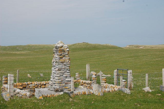
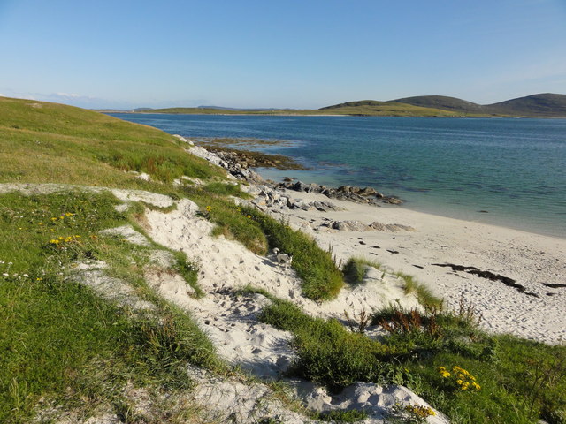
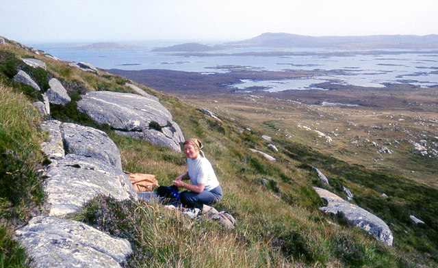
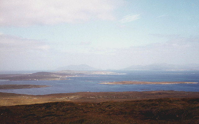
Cnoc Raineach Images

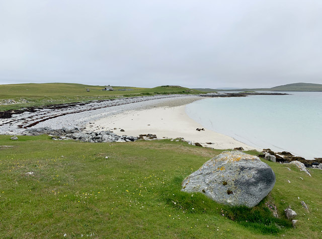
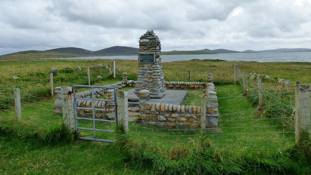
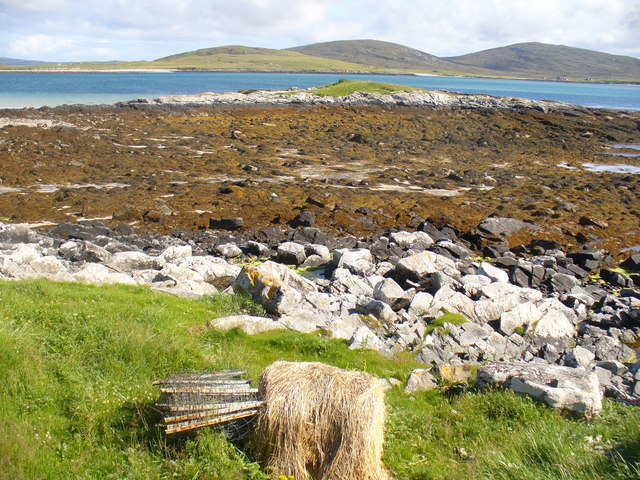
Images are sourced within 2km of 57.686318/-7.206561 or Grid Reference NF8978. Thanks to Geograph Open Source API. All images are credited.

Beach on the south coast of Berneray
Angus Macaskill Monument Monument to Angus Macaskill who was known as the Nova Scotia Giant who was born at this location in 1825.
Angus Macaskill Monument
Monument to Angus Macaskill who was known as the Nova Scotia Giant who was born at this location in 1825.
Foreshore by Eilean an Dunain Rocky seaweed-covered shore on the Sound of Berneray.
<span class="nowrap"><a title="http://www.isleofberneray.com/" rel="nofollow ugc noopener" href="http://www.isleofberneray.com/">Link</a><img style="margin-left:2px;" alt="External link" title="External link - shift click to open in new window" src="https://s1.geograph.org.uk/img/external.png" width="10" height="10"/></span>
Foreshore by Eilean an Dunain
Rocky seaweed-covered shore on the Sound of Berneray. LinkExternal link
Scale Model 1991 cairn on Berneray's southern shore. The height of it is 7 feet 9 inches, reputed to be the height of an Angus Macaskill who lived close to this spot. Angus emigrated, with his family, to Nova Scotia when he was just 6 years old.
<span class="nowrap"><a title="http://www.isleofberneray.com/" rel="nofollow ugc noopener" href="http://www.isleofberneray.com/">Link</a><img style="margin-left:2px;" alt="External link" title="External link - shift click to open in new window" src="https://s1.geograph.org.uk/img/external.png" width="10" height="10"/></span>
Scale Model
1991 cairn on Berneray's southern shore. The height of it is 7 feet 9 inches, reputed to be the height of an Angus Macaskill who lived close to this spot. Angus emigrated, with his family, to Nova Scotia when he was just 6 years old. LinkExternal link
Angus Macaskill memorial Angus was born on Berneray and was 7 feet and 9 inches in height. Went to live in Canada
Angus Macaskill memorial
Angus was born on Berneray and was 7 feet and 9 inches in height. Went to live in Canada
Caolas Bhearnaraigh Coastal view of beach area.
Caolas Bhearnaraigh
Coastal view of beach area.
Passing boat - Caolas Bhearnaraigh. A cheery wave from the boatman as he makes his way out towards Boreray island.
Passing boat - Caolas Bhearnaraigh.
A cheery wave from the boatman as he makes his way out towards Boreray island.
Beach leading to Eilean an Dunain Sand and shingle beach leading to the small island of Eilean an Dunain.
Beach leading to Eilean an Dunain
Sand and shingle beach leading to the small island of Eilean an Dunain.
Angus Macaskill memorial Angus Macaskill 1825-1863 was known as the Nova Scotia giant.  He stood at 7' 9" and achieved many feats of strength.
Angus Macaskill memorial
Angus Macaskill 1825-1863 was known as the Nova Scotia giant. He stood at 7' 9" and achieved many feats of strength.
Machair and Eilean an Dunain An easy crossing to the Eilean an Dunain.
Machair and Eilean an Dunain
An easy crossing to the Eilean an Dunain.
'New' Graveyard on Berneray The graveyard at the Southern end of the island is now used instead of the one to the North on the slopes of Beinn Sheibhe.
'New' Graveyard on Berneray
The graveyard at the Southern end of the island is now used instead of the one to the North on the slopes of Beinn Sheibhe.
Angus Macaskill memorial The inscription reads:- Angus Macaskill 1825-1863. Within these walls Angus Macaskill was born, known as the Nova Scotia giant, he was the son of 
Norman Macaskill who emigrated in 1831. Standing 7 feet 9 inches in height and without pathological defect, he achieved many feats of strength and is remembered as a kindly and just man and a humble christian
Angus Macaskill memorial
The inscription reads:- Angus Macaskill 1825-1863. Within these walls Angus Macaskill was born, known as the Nova Scotia giant, he was the son of Norman Macaskill who emigrated in 1831. Standing 7 feet 9 inches in height and without pathological defect, he achieved many feats of strength and is remembered as a kindly and just man and a humble christian
Shoreline at Cràcanais Looking across Caolas Bhearnaraigh to North Uist.
Shoreline at Cràcanais
Looking across Caolas Bhearnaraigh to North Uist.
Caution, Otters Crossing - North Uist to Berneray causeway
On the south slopes of Beinn Bhreac
The north slopes of Beinn Bhreac Berneray and the hills of Harris in the distance.
The north slopes of Beinn Bhreac
Berneray and the hills of Harris in the distance.
Otairnis The pier and ferry terminal for Bernaray before the causeway was built. Taken from the ferry.
Otairnis
The pier and ferry terminal for Bernaray before the causeway was built. Taken from the ferry.
View SW over Caolas Bheàrnaraigh North Uist lies on the other side of the water.
View SW over Caolas Bheàrnaraigh
North Uist lies on the other side of the water.
Show me another place!

Cnoc Raineach is located at Grid Ref: NF8978 (Lat: 57.686318, Lng: -7.206561)

Unitary Authority: Na h-Eileanan an Iar

Police Authority: Highlands and Islands

What 3 Words

///diary.crouches.sleeps. Near Lochmaddy, Na h-Eileanan Siar

Related Wikis

Newtonferry

Newtonferry (Scottish Gaelic: Port nan Long, "the harbour of the ships") is a small crofting community on the island of North Uist in the Western Isles...

Dun an Sticir

Dun an Sticir (Scottish Gaelic: Dùn an Sticir [ˈt̪un əɲ ˈʃtʲiçkʲɪɾʲ]) is an Iron Age broch situated approximately 9.5 kilometers north of Lochmaddy in...

Otternish

Otternish is the former North Uist terminal for the ferry to Berneray, in the Outer Hebrides, Scotland. The slipway lies 6 miles (10 km) north of Lochmaddy...

North Uist Machair and Islands

The North Uist Machair and Islands is a protected wetland area in the Outer Hebrides of Scotland. A total of 4,705 hectares comprises seven separate areas...

Nearby Amenities

Located within 500m of 57.686318,-7.206561
Created By: dmgroom_coastlines
Lat/Long: 57.68712/-7.20995
Created By: dmgroom_coastlines
Lat/Long: 57.68807/-7.20512
Passing Place
Lat/Long: 57.6830148/-7.2090412
Turning Circle
Lat/Long: 57.6870972/-7.2116052
Passing Place
Lat/Long: 57.6879885/-7.203005
Passing Place
Lat/Long: 57.6852294/-7.2031853
Passing Place
Lat/Long: 57.6832106/-7.2105909
Barrier: cattle_grid
Lat/Long: 57.6898691/-7.2050477
Dun an Sticir
Board Type: history
Information: board
Tourism: information
Lat/Long: 57.6831012/-7.2102668
Guide Type: destination
Guidepost: hiking
Information: guidepost
Location: pole
Tourism: information
Lat/Long: 57.6834309/-7.2061623
Port nan Long
Name En: Newtonferry
Name Gd: Port nan Long
Place: hamlet
Wikidata: Q13157688
Wikipedia: en:Newtonferry
Lat/Long: 57.6868544/-7.2120202
Port nan Long
Natural: bay
Lat/Long: 57.688919/-7.2094131
Hiking: yes
Information: guidepost
Tourism: information
Lat/Long: 57.6830427/-7.2054695
Bench
Lat/Long: 57.6831139/-7.2102729
Information: guidepost
Tourism: information
Lat/Long: 57.6822385/-7.2046907
Information: guidepost
Tourism: information
Lat/Long: 57.6826801/-7.204686
Passing Place
Lat/Long: 57.6832142/-7.212398
Ford: yes
Lat/Long: 57.6828811/-7.2044978
Passing Place
Lat/Long: 57.683348/-7.2066003
Passing Place
Lat/Long: 57.6844545/-7.2042228
Passing Place
Lat/Long: 57.6866141/-7.2027986
Passing Place
Lat/Long: 57.6907429/-7.2050934
Power: pole
Lat/Long: 57.6825816/-7.2099683
Power: pole
Lat/Long: 57.6830834/-7.2089598
Power: pole
Lat/Long: 57.6835968/-7.2080129
Power: pole
Lat/Long: 57.6839495/-7.2073585
Power: pole
Lat/Long: 57.684427/-7.2064358
Power: pole
Lat/Long: 57.6847725/-7.2057492
Power: pole
Lat/Long: 57.685131/-7.2050732
Power: pole
Lat/Long: 57.6858178/-7.2044858
Power: pole
Lat/Long: 57.6863361/-7.2039869
Power: pole
Lat/Long: 57.6868845/-7.2035202
Power: pole
Lat/Long: 57.6895785/-7.2023696
Power: pole
Lat/Long: 57.688562/-7.2027665
Power: pole
Lat/Long: 57.6875039/-7.2032386
Power: pole
Lat/Long: 57.6862899/-7.2135893
Power: pole
Lat/Long: 57.68591/-7.2145737
Power: pole
Lat/Long: 57.6866283/-7.2130127
Power: pole
Lat/Long: 57.6869036/-7.2125004
Power: pole
Lat/Long: 57.6871229/-7.2122321
Power: pole
Lat/Long: 57.6853121/-7.2143243
Power: pole
Lat/Long: 57.6847041/-7.2140802
Power: pole
Lat/Long: 57.6864161/-7.2135464
The data included in this document is from www.openstreetmap.org. The data is made available under ODbL.

Have you been to Cnoc Raineach?

Leave your review of Cnoc Raineach below (or comments, questions and feedback).