Beinn Mhòr

Hill, Mountain in Inverness-shire

Scotland

Beinn Mhòr

On the south slopes of Beinn Bhreac
On the south slopes of Beinn Bhreac Credit: Alan Reid

Beinn Mhòr is a prominent hill located in Inverness-shire, Scotland. It is part of the stunning mountain range known as the Cairngorms, which is renowned for its breathtaking landscapes and diverse wildlife.

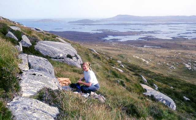
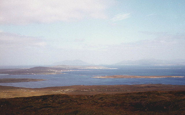
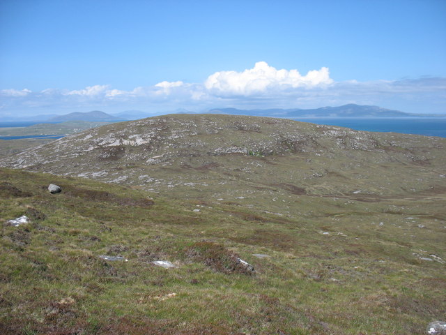
Standing at an impressive height of 1,130 meters (3,707 feet), Beinn Mhòr boasts a distinctive pyramid shape that is easily recognizable from afar. It is considered one of the most iconic and challenging hiking destinations in the area. The ascent to the summit presents a thrilling adventure for outdoor enthusiasts, offering breathtaking views of the surrounding glens, rivers, and lochs.

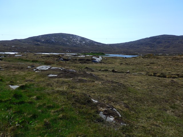
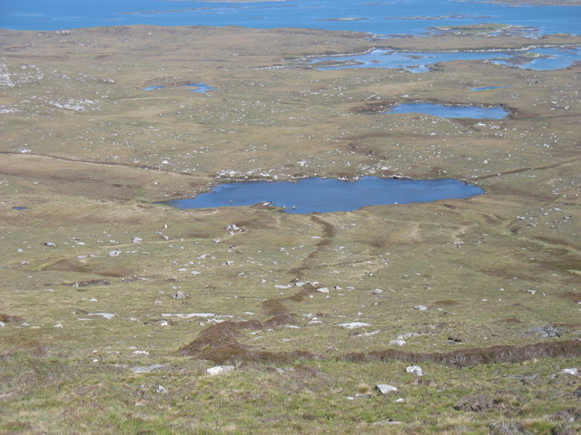
Beinn Mhòr is characterized by its rugged terrain, with rocky slopes and steep cliffs that require a good level of fitness and experience to navigate. Its exposed summit can be subject to unpredictable weather conditions, making proper equipment and preparation essential for a safe and enjoyable climb.

The hill is blessed with an abundance of wildlife, including red deer, mountain hares, and various bird species. Its slopes are also adorned with vibrant heather and wildflowers during the summer months, creating a picturesque scene.

Beinn Mhòr is a popular destination for hikers, mountaineers, and nature lovers seeking a challenging and rewarding outdoor experience. Its proximity to Inverness, a vibrant city known for its rich history and culture, makes it easily accessible for visitors looking to explore the stunning Scottish Highlands. Whether you are an experienced climber or simply appreciate the beauty of nature, Beinn Mhòr is sure to captivate and inspire.

If you have any feedback on the listing, please let us know in the comments section below.
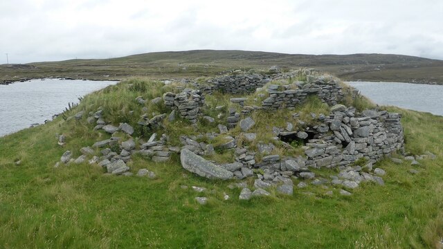
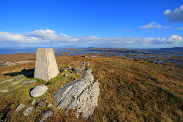
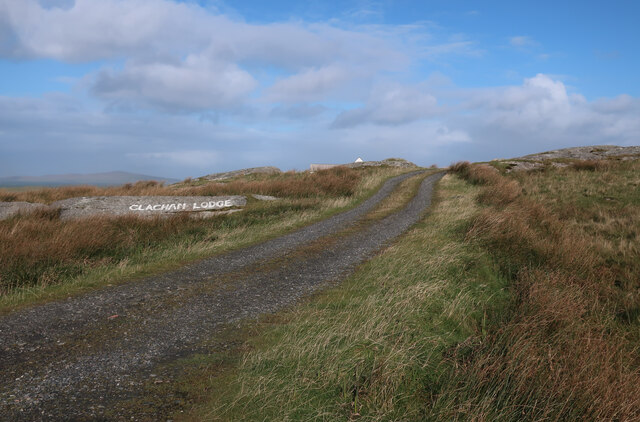
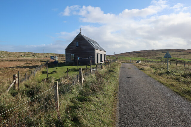
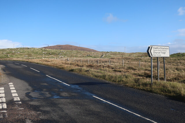
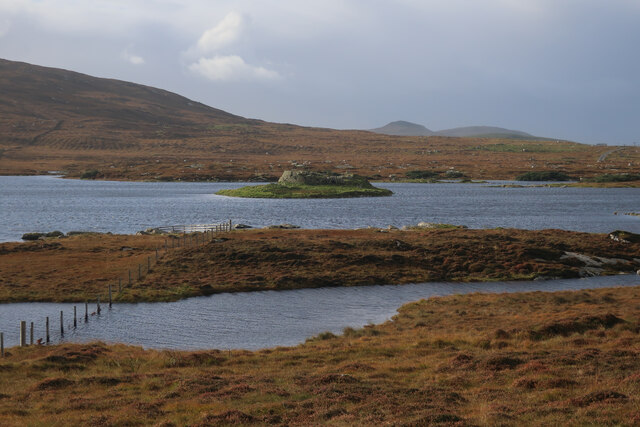
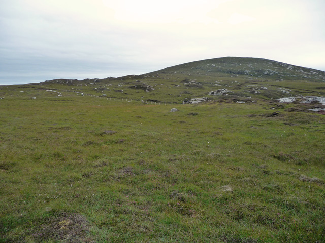
Beinn Mhòr Images

Images are sourced within 2km of 57.668108/-7.2045318 or Grid Reference NF8976. Thanks to Geograph Open Source API. All images are credited.
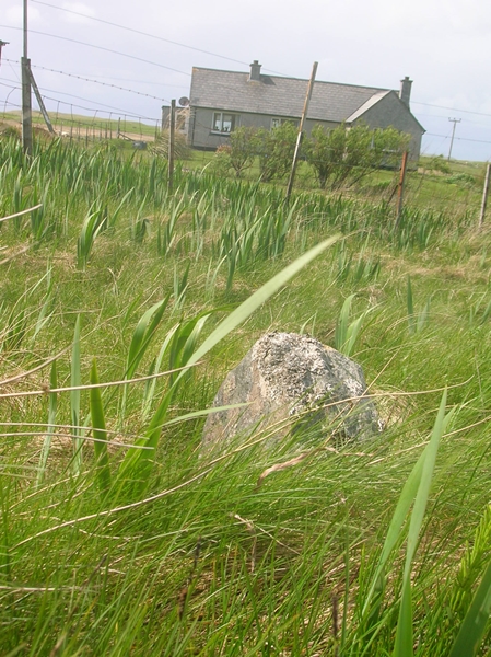
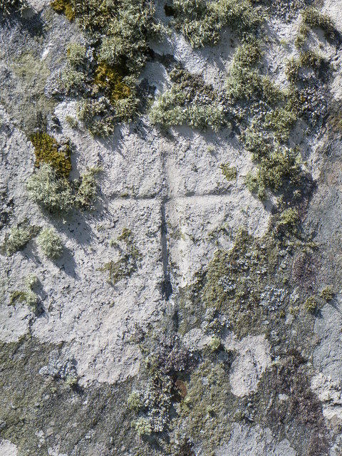
On the south slopes of Beinn Bhreac
The north slopes of Beinn Bhreac Berneray and the hills of Harris in the distance.
The north slopes of Beinn Bhreac
Berneray and the hills of Harris in the distance.
View of Dun an Sticer An Iron Age broch situated on a tidal island.
View of Dun an Sticer
An Iron Age broch situated on a tidal island.
Old Milestone by the B893, Clachan Farm, North Uist Granite slab by the B893, in parish of North Uist (North Uist District), Clachan Farm, on verge opposite lane to farm.

Inscription not recorded on O.S. maps.

Surveyed

Milestone Society National ID: WI_NULMBY07
Old Milestone by the B893, Clachan Farm, North Uist
Granite slab by the B893, in parish of North Uist (North Uist District), Clachan Farm, on verge opposite lane to farm. Inscription not recorded on O.S. maps. Surveyed Milestone Society National ID: WI_NULMBY07
Old Milestone by the B893, near Loch an Sticir, North Uist Granite slab milestone by the B893, in parish of North Uist (North Uist District), outside grey pebble dashed bungalow, Machair Cottage, on verge.

Surveyed

Milestone Society National ID: WI_NULMBY08
Old Milestone by the B893, near Loch an Sticir, North Uist
Granite slab milestone by the B893, in parish of North Uist (North Uist District), outside grey pebble dashed bungalow, Machair Cottage, on verge. Surveyed Milestone Society National ID: WI_NULMBY08
Clach an t-Sagairt [with oystercatcher] The name translates as the 'Priest's Stone' and the incised cross [see detailed photo] may be early medieval.
Clach an t-Sagairt [with oystercatcher]
The name translates as the 'Priest's Stone' and the incised cross [see detailed photo] may be early medieval.
Cross on Clach an t-Sagairt A close up view of the incised cross on this large block of gneiss, the name of which translates as the 'Priest's Stone'.
Cross on Clach an t-Sagairt
A close up view of the incised cross on this large block of gneiss, the name of which translates as the 'Priest's Stone'.
On the summit of Beinn Mhòr, North Uist The easterly view shows the very faint outline of Skye.
On the summit of Beinn Mhòr, North Uist
The easterly view shows the very faint outline of Skye.
Dun An Sticer broch and later tower Tower house built on top of an earlier broch. <span class="nowrap"><a title="https://canmore.org.uk/site/10294/north-uist-dun-an-sticer" rel="nofollow ugc noopener" href="https://canmore.org.uk/site/10294/north-uist-dun-an-sticer">Link</a><img style="margin-left:2px;" alt="External link" title="External link - shift click to open in new window" src="https://s1.geograph.org.uk/img/external.png" width="10" height="10"/></span>
Dun An Sticer broch and later tower
Tower house built on top of an earlier broch. LinkExternal link
Dun An Sticer broch and later tower The lower walling belongs to the Iron Age broch whilst the upper wall represents the remains of a tower house. <span class="nowrap"><a title="https://canmore.org.uk/site/10294/north-uist-dun-an-sticer" rel="nofollow ugc noopener" href="https://canmore.org.uk/site/10294/north-uist-dun-an-sticer">Link</a><img style="margin-left:2px;" alt="External link" title="External link - shift click to open in new window" src="https://s1.geograph.org.uk/img/external.png" width="10" height="10"/></span>
Dun An Sticer broch and later tower
The lower walling belongs to the Iron Age broch whilst the upper wall represents the remains of a tower house. LinkExternal link
Beinn Mhor Trig Point North Uist A view from the Beinn Mhor trig point looking South East in the direction of Lochmaddy in the far distance
Beinn Mhor Trig Point North Uist
A view from the Beinn Mhor trig point looking South East in the direction of Lochmaddy in the far distance
Track to Clachan Lodge
House near Clachan Sands
B893 past Clachan Sands
Dun An Sticir Dun An Sticer on the map, but this is apparently erroneous. Iron Age broch on an island in Loch an Sticir, with the connecting causeway underwater at high tide.
Dun An Sticir
Dun An Sticer on the map, but this is apparently erroneous. Iron Age broch on an island in Loch an Sticir, with the connecting causeway underwater at high tide.
Beinn Bhreac The northern slopes of the hill, seen from boggy ground east of the road to Berneray.
Beinn Bhreac
The northern slopes of the hill, seen from boggy ground east of the road to Berneray.
Beinn Bhreac from Beinn Mhor The hills of South Harris are in the distance.
Beinn Bhreac from Beinn Mhor
The hills of South Harris are in the distance.
Loch Dubh na Moine Taken from the east slopes of Beinn Mhor. What was presumably an old enclosure boundary leads down to the loch.
Loch Dubh na Moine
Taken from the east slopes of Beinn Mhor. What was presumably an old enclosure boundary leads down to the loch.
Show me another place!

Beinn Mhòr is located at Grid Ref: NF8976 (Lat: 57.668108, Lng: -7.2045318)

Unitary Authority: Na h-Eileanan an Iar

Police Authority: Highlands and Islands

What 3 Words

///cavalier.shiver.casually. Near Lochmaddy, Na h-Eileanan Siar

Nearby Locations

Beinn Mhòr

Related Wikis

Dun an Sticir

Dun an Sticir (Scottish Gaelic: Dùn an Sticir [ˈt̪un əɲ ˈʃtʲiçkʲɪɾʲ]) is an Iron Age broch situated approximately 9.5 kilometers north of Lochmaddy in...

Newtonferry

Newtonferry (Scottish Gaelic: Port nan Long, "the harbour of the ships") is a small crofting community on the island of North Uist in the Western Isles...

North Uist Machair and Islands

The North Uist Machair and Islands is a protected wetland area in the Outer Hebrides of Scotland. A total of 4,705 hectares comprises seven separate areas...

Otternish

Otternish is the former North Uist terminal for the ferry to Berneray, in the Outer Hebrides, Scotland. The slipway lies 6 miles (10 km) north of Lochmaddy...

Nearby Amenities

Located within 500m of 57.668108,-7.2045318
Beinn Mhòr
Corbett: no
Ele: 190
Graham: no
Marilyn: yes
Munro: no
Natural: peak
Prominence: 185
Lat/Long: 57.6681762/-7.2045503
Information: guidepost
Tourism: information
Lat/Long: 57.6703247/-7.2048238
Information: guidepost
Tourism: information
Lat/Long: 57.6656664/-7.1992887
Man Made: survey_point
Ref: S8995
Tpuk Ref: TP1204
Lat/Long: 57.66808/-7.204499
Man Made: cairn
Lat/Long: 57.6691218/-7.2045382
Information: guidepost
Tourism: information
Lat/Long: 57.664927/-7.1996349
Information: guidepost
Tourism: information
Lat/Long: 57.6665391/-7.1995475
Information: guidepost
Tourism: information
Lat/Long: 57.6673367/-7.1994655
Information: guidepost
Tourism: information
Lat/Long: 57.6680404/-7.1998354
Information: guidepost
Tourism: information
Lat/Long: 57.668346/-7.2000847
Information: guidepost
Tourism: information
Lat/Long: 57.668793/-7.2004531
Information: guidepost
Tourism: information
Lat/Long: 57.6690639/-7.2015995
Information: guidepost
Tourism: information
Lat/Long: 57.6692093/-7.2023065
Information: guidepost
Tourism: information
Lat/Long: 57.6694748/-7.2027647
Information: guidepost
Tourism: information
Lat/Long: 57.66979/-7.2034695
Information: guidepost
Tourism: information
Lat/Long: 57.6700132/-7.2042311
Information: guidepost
Tourism: information
Lat/Long: 57.6708186/-7.2053661
Information: guidepost
Tourism: information
Lat/Long: 57.6710798/-7.2056556
Information: guidepost
Tourism: information
Lat/Long: 57.6713126/-7.20596
Information: guidepost
Tourism: information
Lat/Long: 57.6715558/-7.2057275
Information: guidepost
Tourism: information
Lat/Long: 57.671819/-7.2048156
Information: guidepost
Tourism: information
Lat/Long: 57.6717936/-7.2043307
Information: guidepost
Tourism: information
Lat/Long: 57.6722638/-7.2032392
Information: guidepost
Tourism: information
Lat/Long: 57.6723577/-7.2027344
The data included in this document is from www.openstreetmap.org. The data is made available under ODbL.

Have you been to Beinn Mhòr?

Leave your review of Beinn Mhòr below (or comments, questions and feedback).