Fleet Bay
Sea, Estuary, Creek in Kirkcudbrightshire
Scotland
Fleet Bay
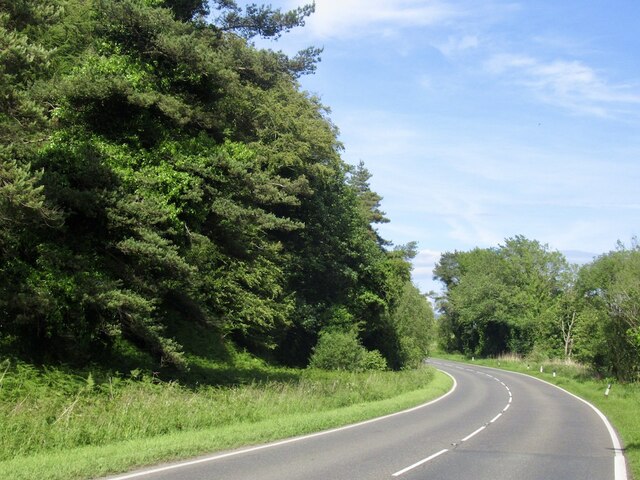
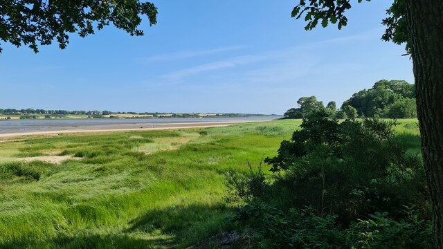
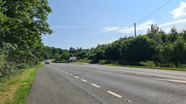
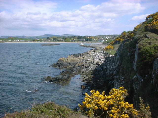
Fleet Bay is a picturesque coastal area located in the historical county of Kirkcudbrightshire, Scotland. Nestled along the southern coast, Fleet Bay is known for its stunning views of the sea, estuary, and creek, making it a popular destination for nature enthusiasts and outdoor adventurers.
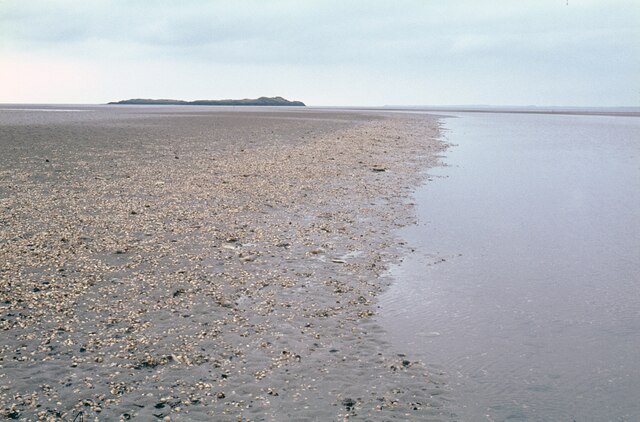
The bay is characterized by its expansive stretch of sandy beaches, which provide an ideal spot for sunbathing, picnicking, and leisurely walks. The crystal-clear waters of the bay are perfect for swimming, sailing, and a variety of water sports, attracting visitors from near and far.
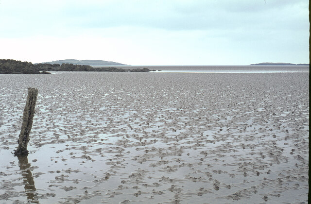
The estuary of Fleet Bay is a thriving ecosystem, home to an abundance of marine life, including various species of fish, birds, and seals. It serves as both a feeding ground and a shelter for these animals, creating excellent opportunities for wildlife observation and photography.
At low tide, a charming creek emerges, winding its way through the bay. This tranquil creek is a haven for birdwatchers, as it attracts a diverse range of wading birds, such as herons, curlews, and oystercatchers. It offers a peaceful setting for those looking to escape the hustle and bustle of everyday life.
In addition to its natural beauty, Fleet Bay is also steeped in history. The surrounding area is dotted with ancient ruins and landmarks, including castles and prehistoric sites, providing a glimpse into the region's rich past.
Overall, Fleet Bay is a captivating destination that offers a unique blend of natural beauty, wildlife, and historical charm, making it a must-visit location for anyone exploring the Kirkcudbrightshire region.
If you have any feedback on the listing, please let us know in the comments section below.
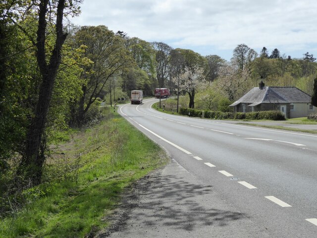
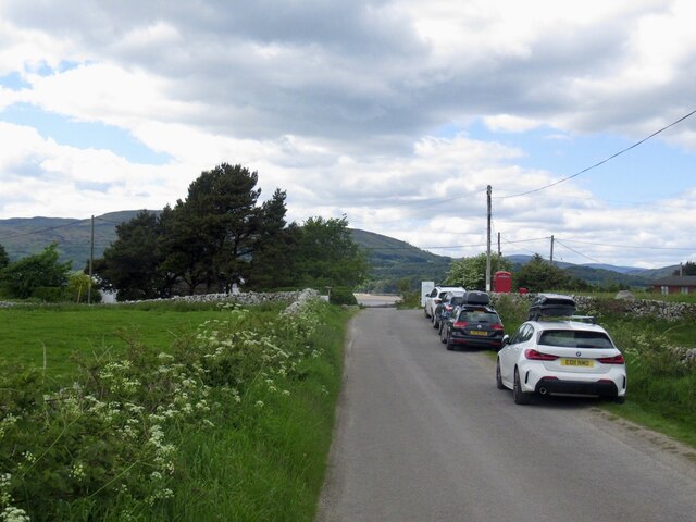
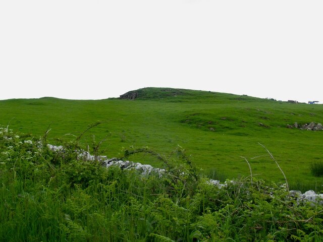
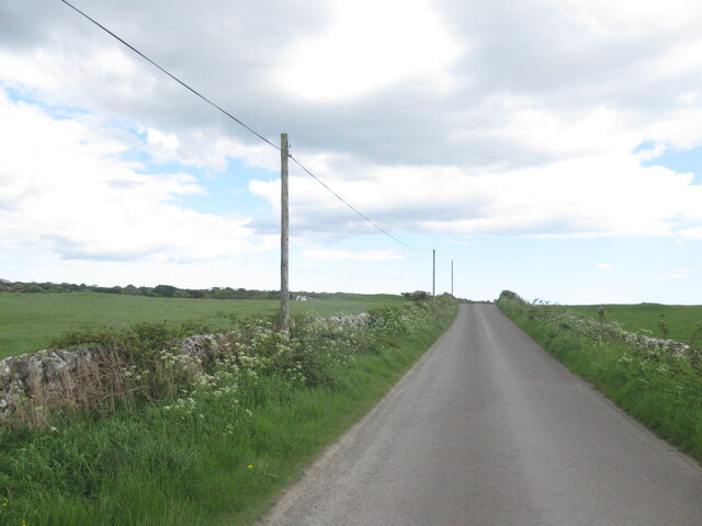
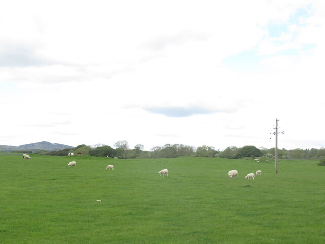
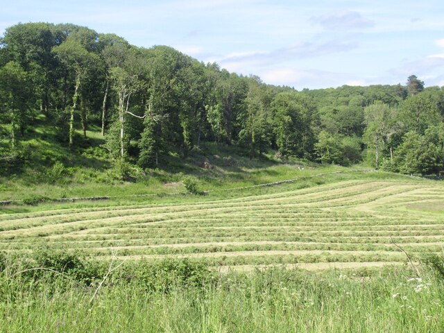
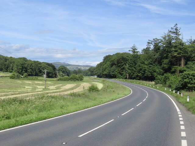
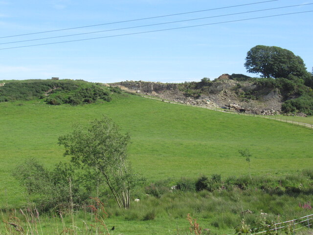
Fleet Bay Images
Images are sourced within 2km of 54.842903/-4.2275122 or Grid Reference NX5752. Thanks to Geograph Open Source API. All images are credited.


Fleet Bay is located at Grid Ref: NX5752 (Lat: 54.842903, Lng: -4.2275122)
Unitary Authority: Dumfries and Galloway
Police Authority: Dumfries and Galloway
What 3 Words
///without.enforced.backswing. Near Kirkcudbright, Dumfries & Galloway
Nearby Locations
Related Wikis

Ardwall House
Ardwall House is an eighteenth-century mansion near Gatehouse of Fleet in Dumfries and Galloway, Scotland. Built in 1762 for the McCullochs of Ardwall...

Water of Fleet
The Water of Fleet is a river in Scotland flowing into Fleet Bay on the Solway Firth. Its two tributaries are the Big Water of Fleet, which begins around...

Plunton Castle
Plunton Castle is a ruined L-plan tower house between Kirkandrews and Gatehouse of Fleet in Dumfries and Galloway, Scotland. Built around 1575 for the...

Girthon Old Parish Church
Girthon Old Parish Church is a ruined ecclesiastical building in Girthon, near Gatehouse of Fleet in Dumfries and Galloway. Built around 1620 on the foundations...

Cardoness Castle
Cardoness Castle is a well-preserved 15th-century tower house just south west of Gatehouse of Fleet, in the historical county of Kirkcudbrightshire in...

Corseyard Farm
Corseyard Farm, known locally as the Coo Palace and now marketed under that name, is an architecturally unusual dairy farm near Kirkandrews in Scotland...

Anwoth Parish Church
Anwoth Parish Church was built in 1826 to serve the parish of Anwoth in Dumfries and Galloway, Scotland. Designed by Walter Newall, it replaced Anwoth...

Anwoth
Anwoth is a settlement near the Solway Firth in the historic county of Kirkcudbrightshire, southwest Scotland, within a parish of the same name in the...
Nearby Amenities
Located within 500m of 54.842903,-4.2275122Have you been to Fleet Bay?
Leave your review of Fleet Bay below (or comments, questions and feedback).