Rough Point
Coastal Feature, Headland, Point in Kirkcudbrightshire
Scotland
Rough Point
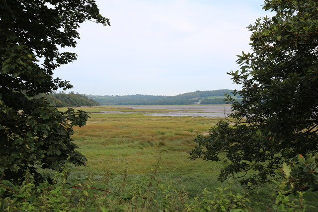
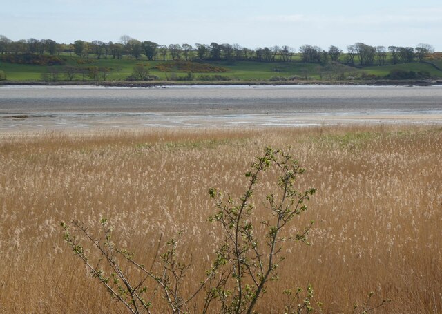
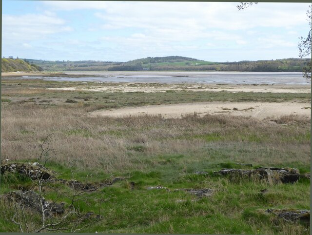
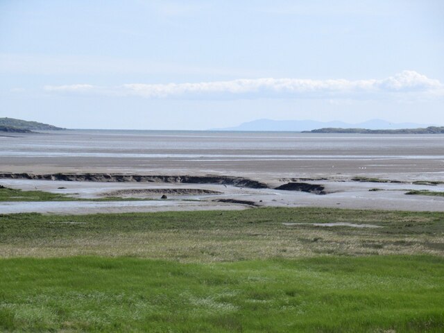
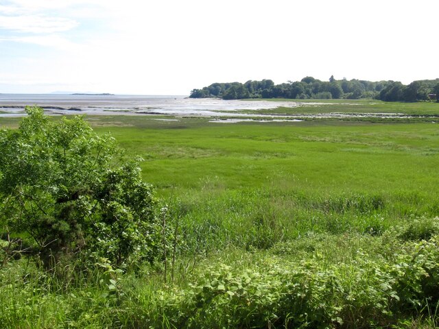
Rough Point is a prominent headland located in Kirkcudbrightshire, Scotland. Situated along the rugged coastline, it offers breathtaking views of the surrounding landscape and the Irish Sea.
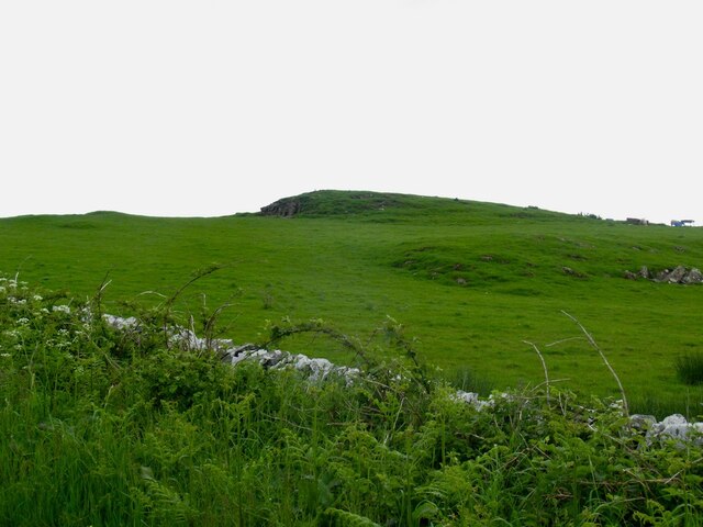
This coastal feature is characterized by its jagged cliffs, which rise dramatically from the water below. The cliffs are composed of various rock formations, including sandstone and granite, showcasing the geological diversity of the area. The sheer height of the cliffs makes Rough Point an impressive sight, especially during high tide when the waves crash against them, creating a spectacle of natural power.
The headland itself is covered in lush vegetation, with hardy grasses and shrubs clinging to the rocky terrain. This provides a haven for various bird species, including gulls, cormorants, and the occasional nesting seabirds. The surrounding waters are also abundant with marine life, attracting seals and dolphins that can often be spotted from the viewpoint.
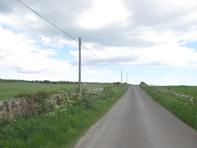
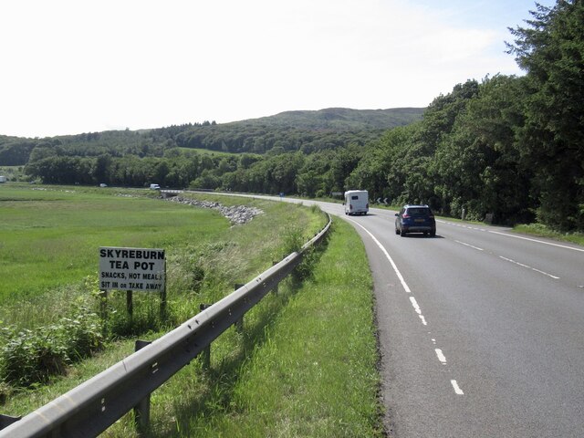
Rough Point is a popular destination for nature enthusiasts and hikers due to its scenic beauty and coastal walks. The headland offers several walking trails, allowing visitors to explore the area and enjoy panoramic views of the coastline. The path along the cliffs provides an exhilarating experience, with the crashing waves below providing a constant soundtrack to the journey.
In summary, Rough Point in Kirkcudbrightshire is a striking coastal feature, offering stunning views, diverse wildlife, and exhilarating walking trails. Its rugged beauty epitomizes the dramatic Scottish coastline, making it a must-visit destination for nature lovers and outdoor enthusiasts.
If you have any feedback on the listing, please let us know in the comments section below.
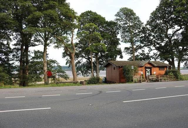
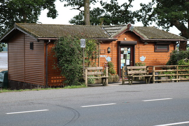
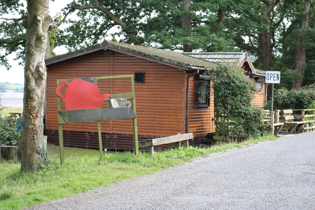
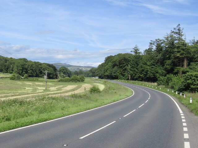
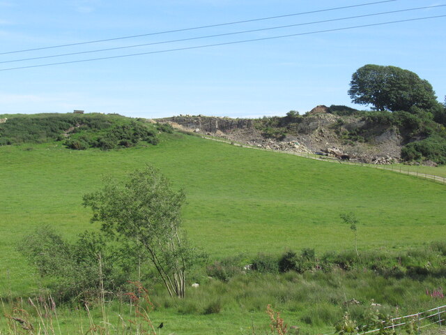
Rough Point Images
Images are sourced within 2km of 54.84749/-4.2229517 or Grid Reference NX5752. Thanks to Geograph Open Source API. All images are credited.
Rough Point is located at Grid Ref: NX5752 (Lat: 54.84749, Lng: -4.2229517)
Unitary Authority: Dumfries and Galloway
Police Authority: Dumfries and Galloway
What 3 Words
///cycled.remarked.pulps. Near Kirkcudbright, Dumfries & Galloway
Nearby Locations
Related Wikis

Ardwall House
Ardwall House is an eighteenth-century mansion near Gatehouse of Fleet in Dumfries and Galloway, Scotland. Built in 1762 for the McCullochs of Ardwall...

Cardoness Castle
Cardoness Castle is a well-preserved 15th-century tower house just south west of Gatehouse of Fleet, in the historical county of Kirkcudbrightshire in...

Girthon Old Parish Church
Girthon Old Parish Church is a ruined ecclesiastical building in Girthon, near Gatehouse of Fleet in Dumfries and Galloway. Built around 1620 on the foundations...

Anwoth Parish Church
Anwoth Parish Church was built in 1826 to serve the parish of Anwoth in Dumfries and Galloway, Scotland. Designed by Walter Newall, it replaced Anwoth...
Nearby Amenities
Located within 500m of 54.84749,-4.2229517Have you been to Rough Point?
Leave your review of Rough Point below (or comments, questions and feedback).