Sandgreen

Settlement in Kirkcudbrightshire

Scotland

Sandgreen

View across Skyreburn Bay To the Water of Fleet.
View across Skyreburn Bay Credit: Russel Wills

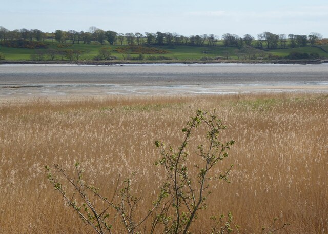
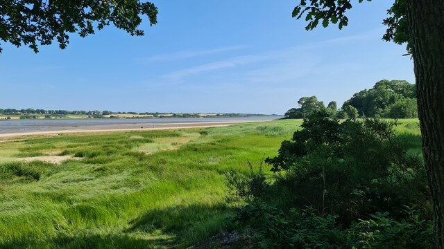
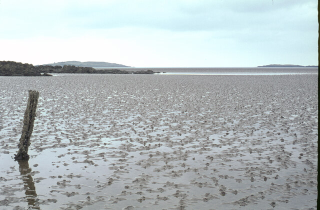
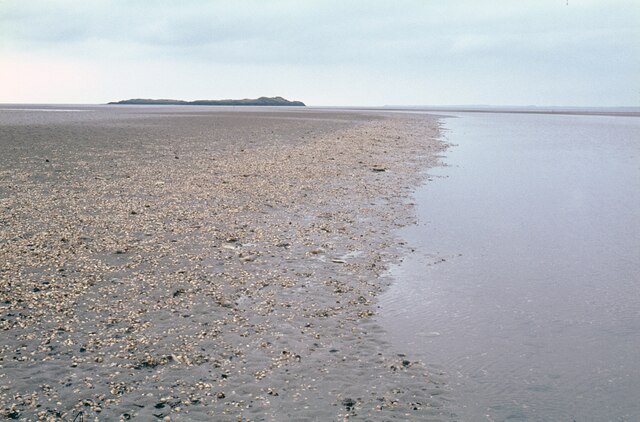
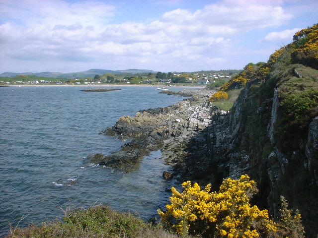
Sandgreen is a small coastal village located in Kirkcudbrightshire, Scotland. Situated on the southern coast of the Galloway Peninsula, it is nestled between the towns of Gatehouse of Fleet and Mossdale. The village offers stunning views of the Irish Sea and is known for its picturesque landscapes and sandy beaches.

The main attraction of Sandgreen is its beautiful sandy beach, which stretches for approximately 1.5 miles along the coastline. The beach is a popular destination for tourists and locals alike, offering opportunities for sunbathing, picnicking, and various water activities such as swimming and surfing. The area is also a haven for wildlife enthusiasts, with an abundance of seabirds, seals, and other marine creatures often spotted along the coastline.

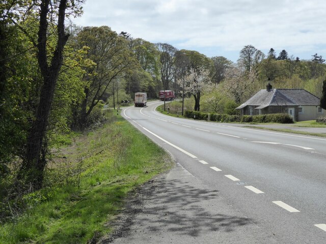
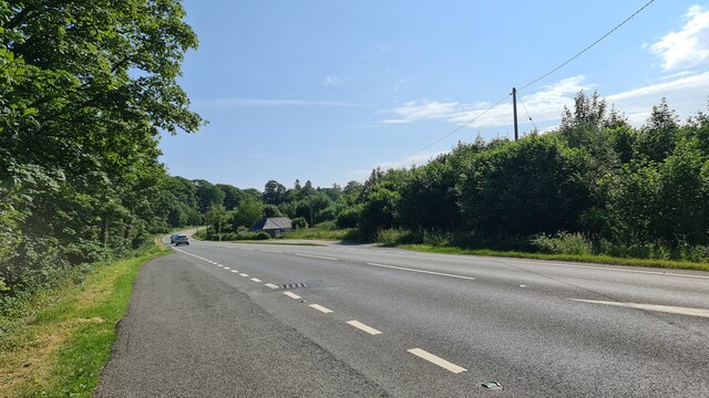
In addition to its natural beauty, Sandgreen is home to a small community of residents. The village features a handful of charming cottages and houses, giving it a quaint and peaceful atmosphere. While there are no major amenities in Sandgreen itself, the nearby towns provide essential services such as shops, restaurants, and accommodation options.

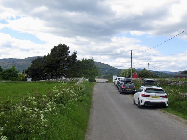
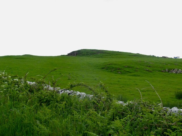
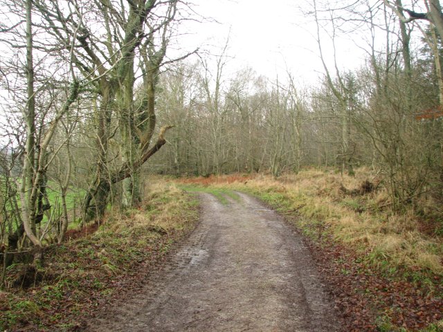
For those seeking outdoor adventures, the surrounding area offers excellent opportunities for hiking, cycling, and exploring the nearby forests and nature reserves. The Galloway Forest Park, known for its stunning scenery and Dark Sky Park status, is also within close proximity to Sandgreen.

Overall, Sandgreen is a tranquil coastal village that offers visitors a chance to enjoy the natural beauty of the Scottish coast and indulge in outdoor activities in a peaceful setting.

If you have any feedback on the listing, please let us know in the comments section below.
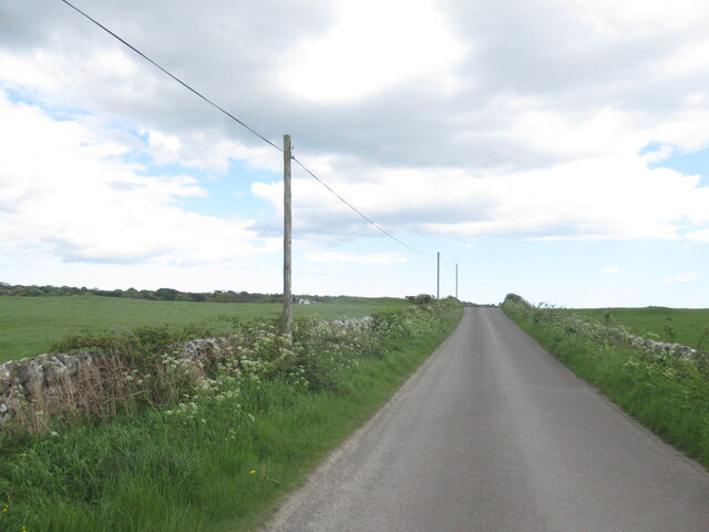
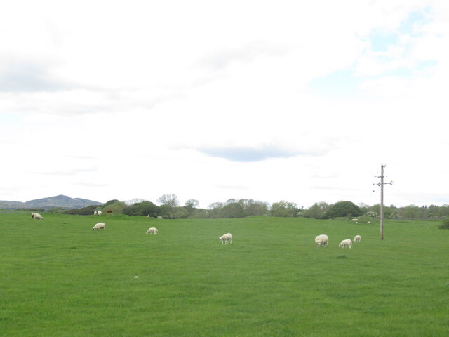
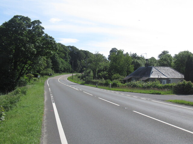
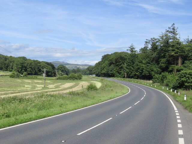
Sandgreen Images

Images are sourced within 2km of 54.844661/-4.2179519 or Grid Reference NX5752. Thanks to Geograph Open Source API. All images are credited.

View across Skyreburn Bay To the Water of Fleet.
View across Skyreburn Bay
To the Water of Fleet.
Lanefoot Cottage Beside the busy A75.
Lanefoot Cottage
Beside the busy A75.
Towards the road end, Sandgreen
Farmland near Sandgreen
Road from Sandgreen
Road from Sandgreen
Sheep grazing,  Boreland of Girthon
Sheep grazing, Boreland of Girthon
A75, Lanefoot
A75, Lanefoot
A75, Cardoness
A75, Cardoness
Skyreburn Bay
Skyreburn Bay
Lanefoot Cottage By A75
Lanefoot Cottage
By A75
Carrick Bay and the Islands of Fleet Ardwall Isle is on the left and Murray's Isles on the right.
Carrick Bay and the Islands of Fleet
Ardwall Isle is on the left and Murray's Isles on the right.
Airds Bay and Murray's Isles from Rough Point The tide is well out at present.
Airds Bay and Murray's Isles from Rough Point
The tide is well out at present.
Carrick Point Taken at the turn of a Spring Low Tide, late on a September evening 2023. The predicted tide height for low water was 1.8m.
Carrick Point
Taken at the turn of a Spring Low Tide, late on a September evening 2023. The predicted tide height for low water was 1.8m.
Airds Bay,  Sandgreen Looking north.  The bay surrounded by holiday chalets and static caravans.  Used to be a nice campsite but they no longer take tourers.  Designated areas for watersports.
Airds Bay, Sandgreen
Looking north. The bay surrounded by holiday chalets and static caravans. Used to be a nice campsite but they no longer take tourers. Designated areas for watersports.
Carrick View of Carrick and Carrick Bay.  In the background is the caravan site at Airds Bay
Carrick
View of Carrick and Carrick Bay. In the background is the caravan site at Airds Bay
A75 At Cardoness
A75 At Cardoness
Cardoness woods
Cardoness woods
Track, Cally Mains Wood Farm track linking Sandgreen and Cally Mains.
Track, Cally Mains Wood
Farm track linking Sandgreen and Cally Mains.
Show me another place!

Sandgreen is located at Grid Ref: NX5752 (Lat: 54.844661, Lng: -4.2179519)

Unitary Authority: Dumfries and Galloway

Police Authority: Dumfries and Galloway

What 3 Words

///steams.awesome.indicated. Near Kirkcudbright, Dumfries & Galloway

Related Wikis

Ardwall House

Ardwall House is an eighteenth-century mansion near Gatehouse of Fleet in Dumfries and Galloway, Scotland. Built in 1762 for the McCullochs of Ardwall...

Girthon Old Parish Church

Girthon Old Parish Church is a ruined ecclesiastical building in Girthon, near Gatehouse of Fleet in Dumfries and Galloway. Built around 1620 on the foundations...

Plunton Castle

Plunton Castle is a ruined L-plan tower house between Kirkandrews and Gatehouse of Fleet in Dumfries and Galloway, Scotland. Built around 1575 for the...

Cardoness Castle

Cardoness Castle is a well-preserved 15th-century tower house just south west of Gatehouse of Fleet, in the historical county of Kirkcudbrightshire in...

Nearby Amenities

Located within 500m of 54.844661,-4.2179519
Source: PGS
Lat/Long: 54.8476681/-4.2232904
Source: PGS
Lat/Long: 54.8474442/-4.223129
Source: PGS
Lat/Long: 54.8474043/-4.222415
Source: PGS
Lat/Long: 54.847159/-4.2216854
Source: PGS
Lat/Long: 54.8469885/-4.2210031
Source: PGS
Lat/Long: 54.8467445/-4.2206941
Source: PGS
Lat/Long: 54.8464326/-4.2201458
Source: PGS
Lat/Long: 54.8458111/-4.2194281
Source: PGS
Lat/Long: 54.8452095/-4.219191
Source: PGS
Lat/Long: 54.8444317/-4.2189109
Source: PGS
Lat/Long: 54.843699/-4.2190665
Source: PGS
Lat/Long: 54.8432277/-4.2194817
Source: PGS
Lat/Long: 54.8428558/-4.2207795
Source: PGS
Lat/Long: 54.8427238/-4.2217077
Source: PGS
Lat/Long: 54.8427067/-4.2224029
Created By: dmgroom_coastlines
Source: PGS
Lat/Long: 54.842263/-4.22306
Created By: dmgroom_coastlines
Source: PGS
Lat/Long: 54.842005/-4.223274
Post Box
Lat/Long: 54.8430679/-4.2176717
Sandgreen
Place: hamlet
Lat/Long: 54.8453163/-4.2187167
Power: pole
Lat/Long: 54.8442606/-4.2177057
Power: pole
Lat/Long: 54.8440054/-4.2169125
Power: pole
Lat/Long: 54.8435836/-4.2156341
Power: pole
Lat/Long: 54.8432747/-4.214687
Power: pole
Lat/Long: 54.8428851/-4.2134973
Power: pole
Lat/Long: 54.8424862/-4.2122936
The data included in this document is from www.openstreetmap.org. The data is made available under ODbL.

Have you been to Sandgreen?

Leave your review of Sandgreen below (or comments, questions and feedback).