Sandgreen Hill
Hill, Mountain in Kirkcudbrightshire
Scotland
Sandgreen Hill
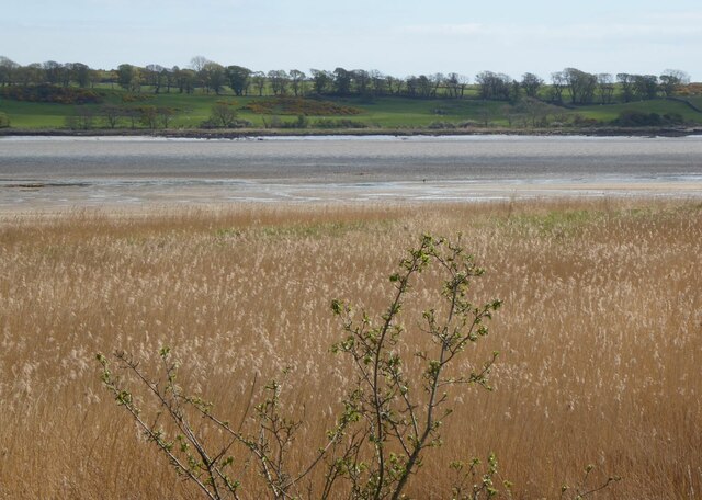
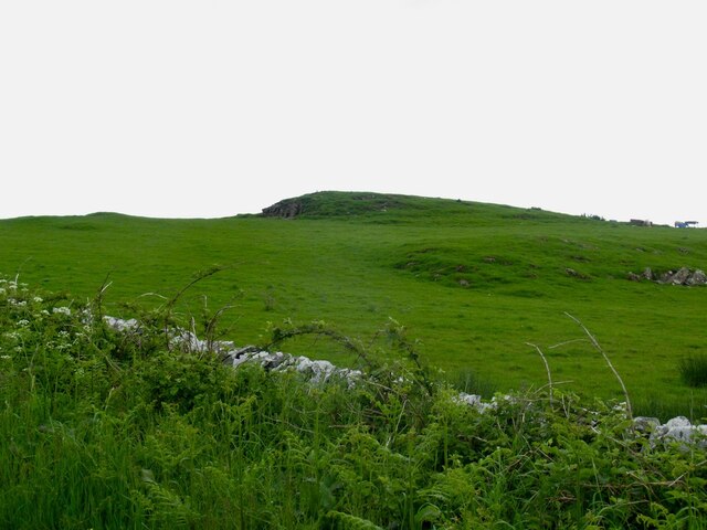
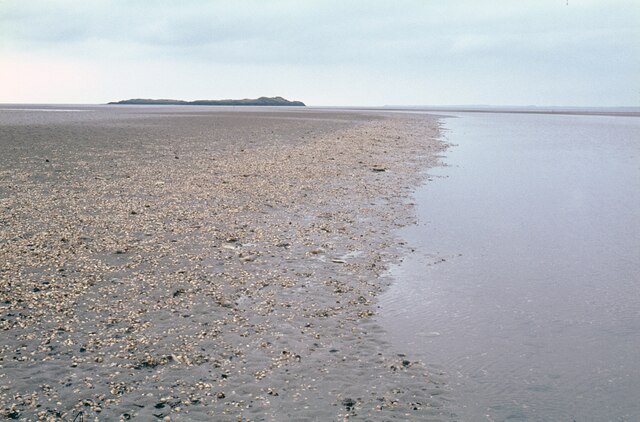
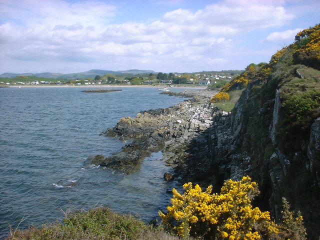
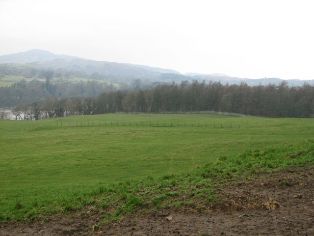
Sandgreen Hill is a prominent hill located in the historical county of Kirkcudbrightshire in southwestern Scotland. Rising to an elevation of approximately 230 meters (750 feet), it is a notable landmark in the region. Situated near the village of Sandgreen, the hill offers breathtaking panoramic views of the surrounding countryside and the beautiful Solway Firth.
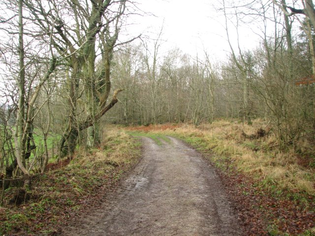
The hill itself is characterized by its gently sloping grassy terrain, which makes it easily accessible for hikers and nature enthusiasts. Its verdant slopes are adorned with a variety of wildflowers and grasses, providing a picturesque and serene setting for those who venture to its summit. The hill is primarily composed of sandstone, which gives it its name.
Visitors to Sandgreen Hill can enjoy a leisurely hike or walk, taking in the stunning vistas and observing the diverse wildlife that calls the area home. The hill is particularly known for its birdlife, with various species of birds, including red kites and buzzards, frequently spotted soaring above.
In addition to its natural beauty, Sandgreen Hill also has historical significance. It is believed to have been used as a lookout point during ancient times, providing strategic views of the surrounding landscape. The hill's location near the coast may have made it a prime spot for monitoring and defending the area.
Overall, Sandgreen Hill is a captivating destination for those seeking a tranquil escape amidst Scotland's stunning scenery. Its accessibility, natural splendor, and historical importance make it a worthwhile visit for both locals and tourists alike.
If you have any feedback on the listing, please let us know in the comments section below.
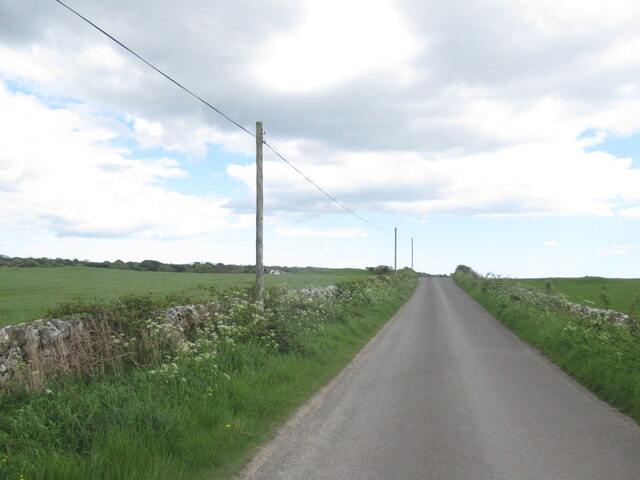
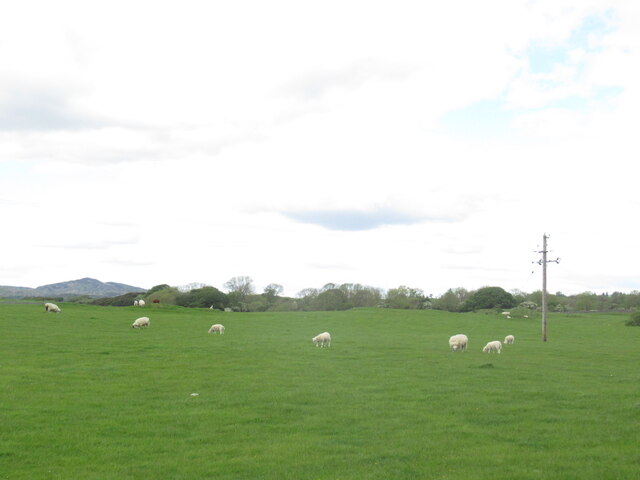
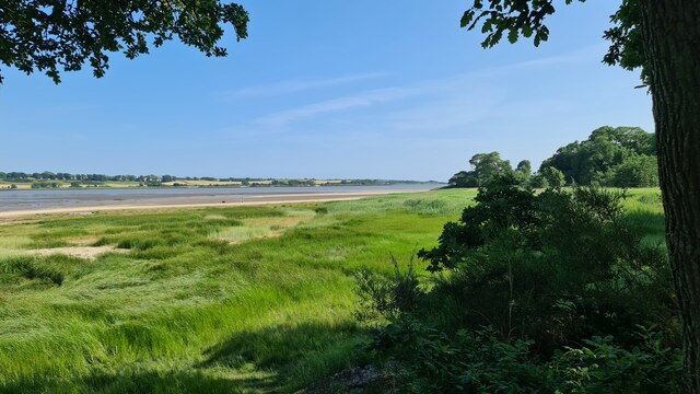
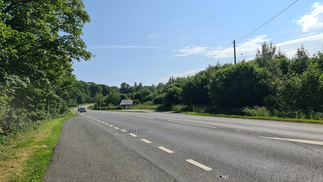
Sandgreen Hill Images
Images are sourced within 2km of 54.84537/-4.2145485 or Grid Reference NX5752. Thanks to Geograph Open Source API. All images are credited.


Sandgreen Hill is located at Grid Ref: NX5752 (Lat: 54.84537, Lng: -4.2145485)
Unitary Authority: Dumfries and Galloway
Police Authority: Dumfries and Galloway
What 3 Words
///search.driveways.founding. Near Kirkcudbright, Dumfries & Galloway
Nearby Locations
Related Wikis

Ardwall House
Ardwall House is an eighteenth-century mansion near Gatehouse of Fleet in Dumfries and Galloway, Scotland. Built in 1762 for the McCullochs of Ardwall...

Girthon Old Parish Church
Girthon Old Parish Church is a ruined ecclesiastical building in Girthon, near Gatehouse of Fleet in Dumfries and Galloway. Built around 1620 on the foundations...

Plunton Castle
Plunton Castle is a ruined L-plan tower house between Kirkandrews and Gatehouse of Fleet in Dumfries and Galloway, Scotland. Built around 1575 for the...

Cardoness Castle
Cardoness Castle is a well-preserved 15th-century tower house just south west of Gatehouse of Fleet, in the historical county of Kirkcudbrightshire in...

Cally Palace
Cally Palace, formerly known as Cally House, is an 18th-century country house in the historical county of Kirkcudbrightshire in Dumfries and Galloway...
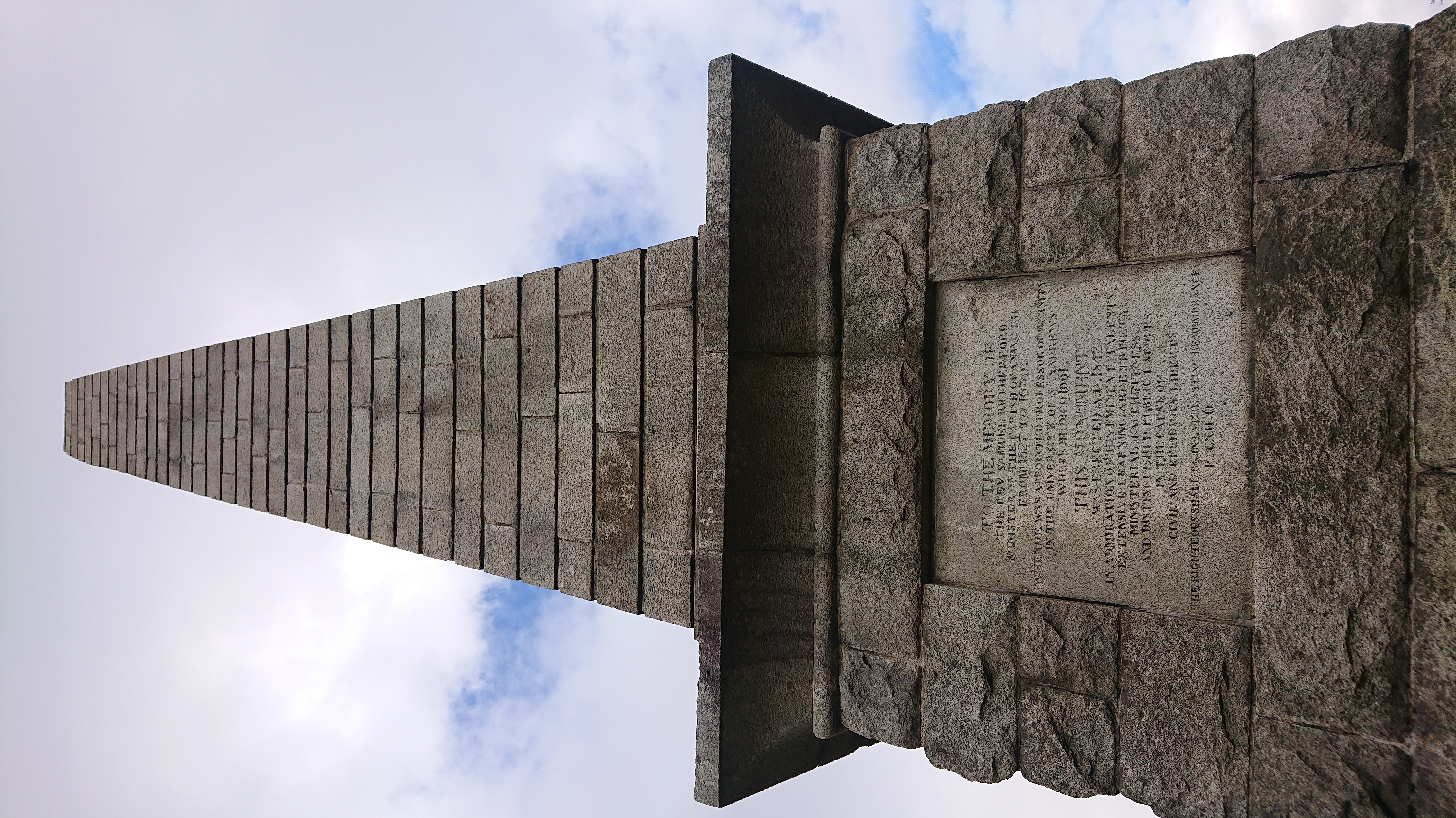
Rutherford's Monument
Rutherford's Monument is a commemorative monument between Anwoth and Gatehouse of Fleet in Dumfries and Galloway, Scotland. It is dedicated to the 17th...

Anwoth Parish Church
Anwoth Parish Church was built in 1826 to serve the parish of Anwoth in Dumfries and Galloway, Scotland. Designed by Walter Newall, it replaced Anwoth...

Anwoth
Anwoth is a settlement near the Solway Firth in the historic county of Kirkcudbrightshire, southwest Scotland, within a parish of the same name in the...
Nearby Amenities
Located within 500m of 54.84537,-4.2145485Have you been to Sandgreen Hill?
Leave your review of Sandgreen Hill below (or comments, questions and feedback).