West Beach

Beach in Sussex Adur

England

West Beach

Artwork Artwork alongside the Downs Link cycle/foot trail, with Old Shoreham Bridge across the River Adur in the background.
Artwork Credit: Ian Capper

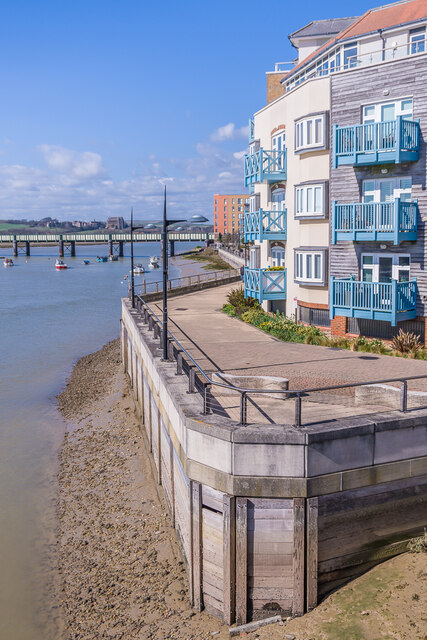
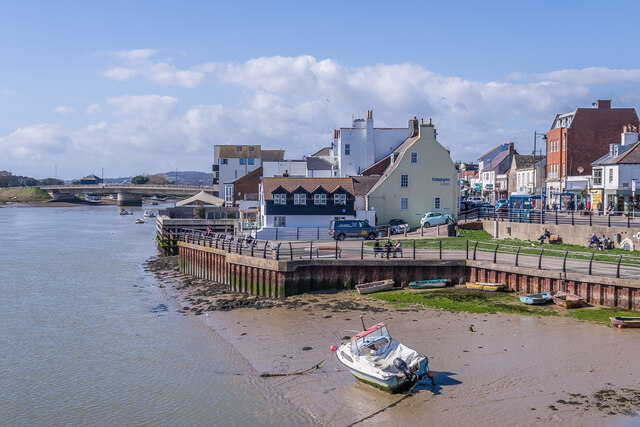
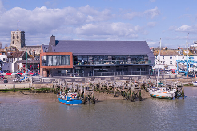
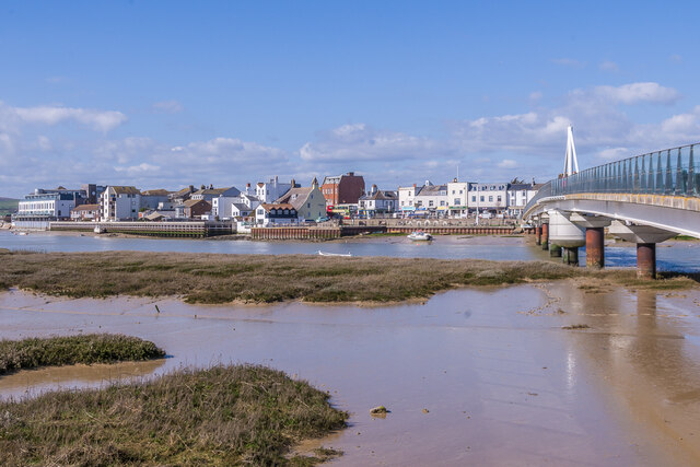
West Beach is a picturesque beach located in Sussex, England. Situated on the southern coast of the country, it is a popular destination for locals and tourists alike. The beach stretches for approximately two miles, offering ample space for visitors to relax and enjoy the stunning coastal views.

Dotted with colorful beach huts and bordered by sand dunes, West Beach offers a charming and idyllic atmosphere. The fine golden sand is perfect for sunbathing and building sandcastles, while the clear waters provide a refreshing retreat on hot summer days. The beach is also known for its cleanliness, regularly receiving the Blue Flag award for its excellent water quality and environmental standards.

West Beach boasts a range of facilities and amenities to enhance the visitor experience. There are well-maintained public toilets, ample parking spaces, and easy access for disabled individuals. The beach is also equipped with lifeguards during the peak season, ensuring the safety of swimmers and water sports enthusiasts.

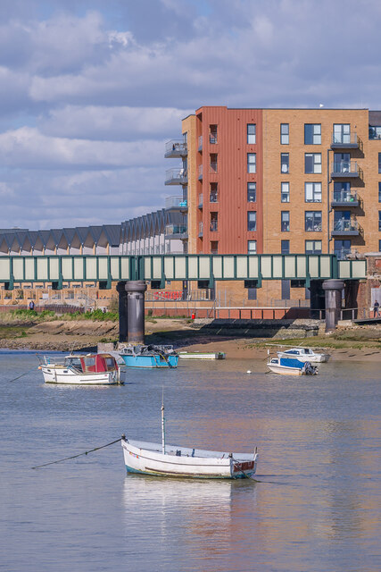
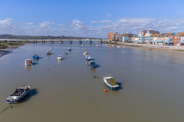
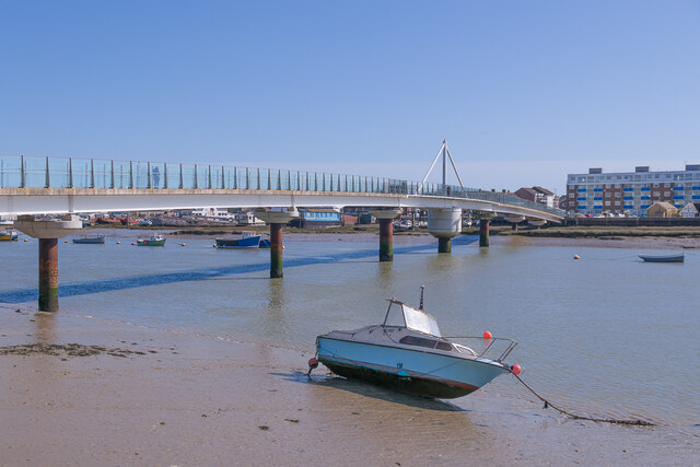
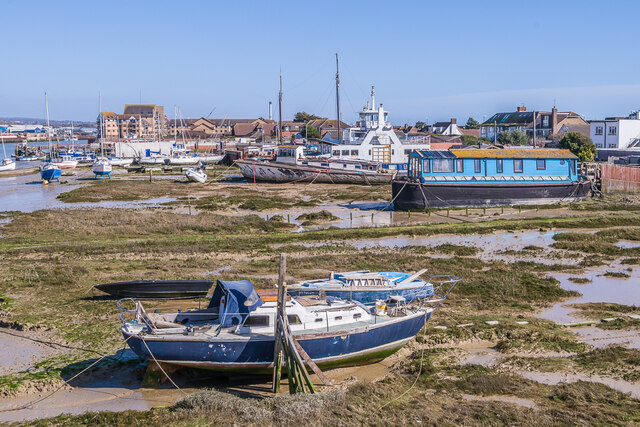
For those seeking more adventure, West Beach offers a variety of water-based activities. Visitors can try their hand at windsurfing, kitesurfing, or paddleboarding. The beach is also a popular spot for sailing and fishing, with opportunities to charter boats or join organized trips.

Additionally, West Beach is surrounded by a diverse range of flora and fauna, making it a haven for nature lovers. The sand dunes are home to a variety of rare and protected plant species, creating a unique habitat for wildlife.

Overall, West Beach in Sussex is a delightful coastal destination that combines natural beauty, recreational activities, and a welcoming atmosphere, making it an ideal place to unwind and enjoy the wonders of the British seaside.

If you have any feedback on the listing, please let us know in the comments section below.
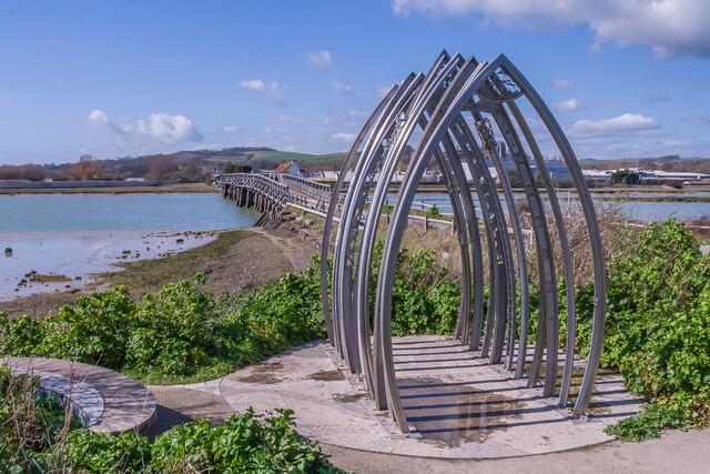
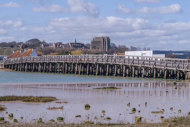
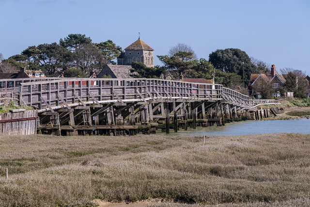
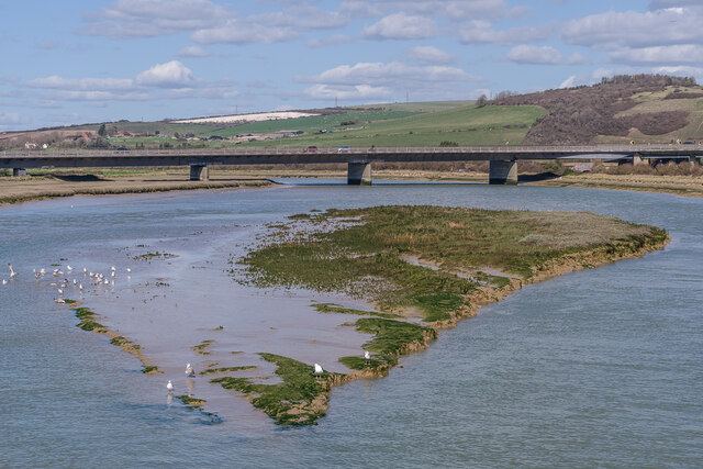
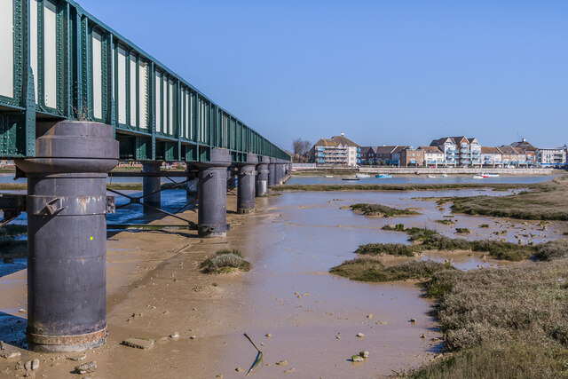
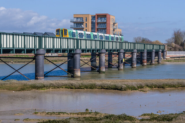
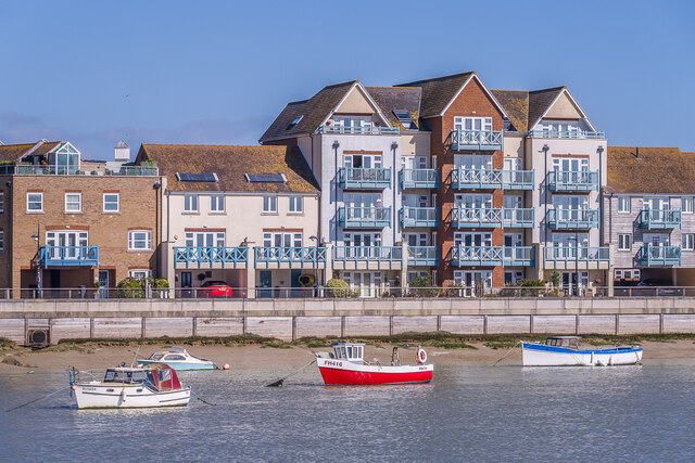
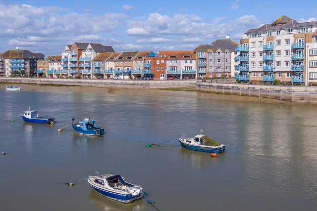
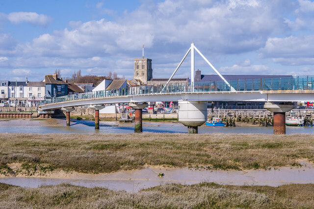
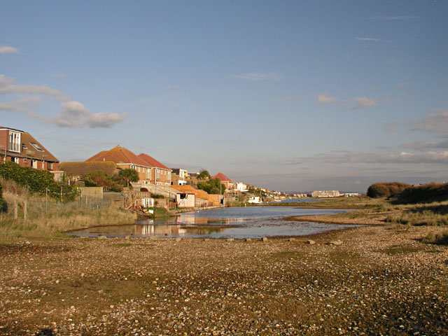
West Beach Images

Images are sourced within 2km of 50.824009/-0.29602944 or Grid Reference TQ2004. Thanks to Geograph Open Source API. All images are credited.

Artwork Artwork alongside the Downs Link cycle/foot trail, with Old Shoreham Bridge across the River Adur in the background.
Artwork
Artwork alongside the Downs Link cycle/foot trail, with Old Shoreham Bridge across the River Adur in the background.
Old Shoreham Bridge Bridge over the River Adur near Old Shoreham, now a foot/cycle bridge.  Originally built in 1781, it was rebuilt to the same design during the First World War.  Until 1970 it formed part of the A27, with a toll for its use, until relieved by the opening of the Shoreham bypass, with a new viaduct over the river around 300m north of the old bridge.  It was then closed to road traffic and made a bridleway.  It underwent a full restoration in 2008.  Grade II* listed - see <span class="nowrap"><a title="https://historicengland.org.uk/listing/the-list/list-entry/1027895?section=official-list-entry" rel="nofollow ugc noopener" href="https://historicengland.org.uk/listing/the-list/list-entry/1027895?section=official-list-entry">Link</a><img style="margin-left:2px;" alt="External link" title="External link - shift click to open in new window" src="https://s1.geograph.org.uk/img/external.png" width="10" height="10"/></span>.

In the background is Lancing College.
Old Shoreham Bridge
Bridge over the River Adur near Old Shoreham, now a foot/cycle bridge. Originally built in 1781, it was rebuilt to the same design during the First World War. Until 1970 it formed part of the A27, with a toll for its use, until relieved by the opening of the Shoreham bypass, with a new viaduct over the river around 300m north of the old bridge. It was then closed to road traffic and made a bridleway. It underwent a full restoration in 2008. Grade II* listed - see LinkExternal link. In the background is Lancing College.
Old Shoreham Bridge Bridge over the River Adur near Old Shoreham, now a foot/cycle bridge.  Originally built in 1781, it was rebuilt to the same design during the First World War.  Until 1970 it formed part of the A27, with a toll for its use, until relieved by the opening of the Shoreham bypass, with a new viaduct over the river around 300m north of the old bridge.  It was then closed to road traffic and made a bridleway.  It underwent a full restoration in 2008.  Grade II* listed - see <span class="nowrap"><a title="https://historicengland.org.uk/listing/the-list/list-entry/1027895?section=official-list-entry" rel="nofollow ugc noopener" href="https://historicengland.org.uk/listing/the-list/list-entry/1027895?section=official-list-entry">Link</a><img style="margin-left:2px;" alt="External link" title="External link - shift click to open in new window" src="https://s1.geograph.org.uk/img/external.png" width="10" height="10"/></span>.

In the background is St Nicolas' Church, Old Shoreham.
Old Shoreham Bridge
Bridge over the River Adur near Old Shoreham, now a foot/cycle bridge. Originally built in 1781, it was rebuilt to the same design during the First World War. Until 1970 it formed part of the A27, with a toll for its use, until relieved by the opening of the Shoreham bypass, with a new viaduct over the river around 300m north of the old bridge. It was then closed to road traffic and made a bridleway. It underwent a full restoration in 2008. Grade II* listed - see LinkExternal link. In the background is St Nicolas' Church, Old Shoreham.
River Adur Looking along the River Adur from the Old Shoreham Bridge with the A27 Adur Viaduct, completed in 1970, in the background.
River Adur
Looking along the River Adur from the Old Shoreham Bridge with the A27 Adur Viaduct, completed in 1970, in the background.
Shoreham Railway Viaduct Viaduct carrying the West Coastway railway over the River Adur.  It was built in 1893, replacing an earlier wooden trestle viaduct opened in 1845.
Shoreham Railway Viaduct
Viaduct carrying the West Coastway railway over the River Adur. It was built in 1893, replacing an earlier wooden trestle viaduct opened in 1845.
Shoreham Railway Viaduct Viaduct carrying the West Coastway railway over the River Adur.  It was built in 1893, replacing an earlier wooden trestle viaduct opened in 1845.  Seen here with Class 313 no 313215 crossing on a westbound stopping service.
Shoreham Railway Viaduct
Viaduct carrying the West Coastway railway over the River Adur. It was built in 1893, replacing an earlier wooden trestle viaduct opened in 1845. Seen here with Class 313 no 313215 crossing on a westbound stopping service.
Linemans View Part of the Ropetackle development overlooking the River Adur, completed in 2005.
Linemans View
Part of the Ropetackle development overlooking the River Adur, completed in 2005.
Marline Court Part of the Ropetackle development overlooking the River Adur, completed in 2006.
Marline Court
Part of the Ropetackle development overlooking the River Adur, completed in 2006.
Linemans View and Marline Court Parts of the Ropetackle development overlooking the River Adur, completed in 2005 and 2006 respectively.
Linemans View and Marline Court
Parts of the Ropetackle development overlooking the River Adur, completed in 2005 and 2006 respectively.
Marline Court Part of the Ropetackle development overlooking the River Adur, completed in 2006.  In the background is the viaduct carrying the West Coastway railway over the river, with Lancing College beyond.
Marline Court
Part of the Ropetackle development overlooking the River Adur, completed in 2006. In the background is the viaduct carrying the West Coastway railway over the river, with Lancing College beyond.
River Adur Looking across the River Adur towards the viaduct carrying the West Coastway railway over the river, with Ringed Plover Apartments in Salt Marsh Road beyond.
River Adur
Looking across the River Adur towards the viaduct carrying the West Coastway railway over the river, with Ringed Plover Apartments in Salt Marsh Road beyond.
River Adur Looking up the River Adur towards the viaduct carrying the West Coastway railway over the river.
River Adur
Looking up the River Adur towards the viaduct carrying the West Coastway railway over the river.
Adur Ferry Bridge Footbridge over the River Adur, connecting the main part of Shoreham with Shoreham Beach.  Built in 2013, it replaced a previous one dating from 1921.  The central section is a swingbridge, allowing boats to access the next section of the river.
Adur Ferry Bridge
Footbridge over the River Adur, connecting the main part of Shoreham with Shoreham Beach. Built in 2013, it replaced a previous one dating from 1921. The central section is a swingbridge, allowing boats to access the next section of the river.
River Adur shoreline The shoreline of the River Adur, with buildings in High Street on the right.
River Adur shoreline
The shoreline of the River Adur, with buildings in High Street on the right.
Sussex Yacht Club The clubhouse of Sussex Yacht Club on the banks of the River Adur, completed in 2021.  In the left background is the tower of St Mary's Church.
Sussex Yacht Club
The clubhouse of Sussex Yacht Club on the banks of the River Adur, completed in 2021. In the left background is the tower of St Mary's Church.
River Adur shoreline Boats moored alongside the River Adur at Shoreham Beach.  The former car ferry in the background, The Shieldsman, originally operated across the River Tyne between North and South Shields from 1976 until retired in 2007, and like many of the boats along this stretch of the river has now been converted into a houseboat.
River Adur shoreline
Boats moored alongside the River Adur at Shoreham Beach. The former car ferry in the background, The Shieldsman, originally operated across the River Tyne between North and South Shields from 1976 until retired in 2007, and like many of the boats along this stretch of the river has now been converted into a houseboat.
River Adur shoreline Looking across the shoreline of the River Adur towards Shoreham, with the Adur Ferry Bridge on the right.
River Adur shoreline
Looking across the shoreline of the River Adur towards Shoreham, with the Adur Ferry Bridge on the right.
Adur Ferry Bridge Footbridge over the River Adur, connecting the main part of Shoreham with Shoreham Beach.  Built in 2013, it replaced a previous one dating from 1921.  The central section is a swingbridge, allowing boats to access the next section of the river.  In the background is the tower of St Mary's Church.
Adur Ferry Bridge
Footbridge over the River Adur, connecting the main part of Shoreham with Shoreham Beach. Built in 2013, it replaced a previous one dating from 1921. The central section is a swingbridge, allowing boats to access the next section of the river. In the background is the tower of St Mary's Church.
Show me another place!

West Beach is located at Grid Ref: TQ2004 (Lat: 50.824009, Lng: -0.29602944)

Administrative County: West Sussex

District: Adur

Police Authority: Sussex

What 3 Words

///pure.text.homes. Near Lancing, West Sussex

Related Wikis

Widewater Lagoon

Widewater Lagoon is a 8.8-hectare (22-acre) Local Nature Reserve in Lancing in West Sussex. It is owned by West Sussex County Council and managed by Lancing...

Saltings (electoral division)

Saltings is an electoral division of West Sussex in the United Kingdom, and returns one member to sit on West Sussex County Council. == Extent == It comprises...

Bungalow Town Halt railway station

Bungalow Town Halt was a small railway station in what is now Shoreham Beach, West Sussex. Bungalow Town had started in the 1870s as a series of converted...

Brighton City Airport

Brighton City Airport (IATA: ESH, ICAO: EGKA), also commonly known as Shoreham Airport, is located in the parish of Lancing in West Sussex, England. It...

Nearby Amenities

Located within 500m of 50.824009,-0.29602944
Barrier: bollard
Lat/Long: 50.8253076/-0.2922006
Drinking Water
Lat/Long: 50.825269/-0.2921811
Bicycle Parking
Capacity: 2
Lat/Long: 50.8237767/-0.3010588
Bicycle Parking
Capacity: 2
Lat/Long: 50.8239282/-0.3000866
Bench
Lat/Long: 50.8239445/-0.3000047
Bus Stop
The Longshore
Naptan AtcoCode: 4400AD0167
Naptan Bearing: NE
Naptan CommonName: The Longshore
Naptan Indicator: adj Adur Close
Naptan Landmark: New Salts Farm Road
Naptan NaptanCode: wsxadmgd
Naptan Street: Brighton Road
Naptan Verified: no
Source: naptan_import
Lat/Long: 50.82717/-0.2910337
Bus Stop
Wenceling Cottages
Naptan AtcoCode: 4400AD0168
Naptan Bearing: NE
Naptan CommonName: Wenceling Cottages
Naptan Indicator: adj Swallows Close
Naptan Landmark: Swallows Close
Naptan NaptanCode: wsxadmgj
Naptan Street: Brighton Road
Naptan Verified: no
Source: naptan_import
Lat/Long: 50.8264534/-0.2936867
Bus Stop
Wenceling Cottages
Naptan AtcoCode: 4400AD0169
Naptan Bearing: SW
Naptan CommonName: Wenceling Cottages
Naptan Indicator: Opp Swallows Close
Naptan Landmark: Swallows Close
Naptan NaptanCode: wsxadmgm
Naptan Street: Brighton Road
Naptan Verified: no
Public Transport: platform
Source: naptan_import
Lat/Long: 50.8262238/-0.2939791
Bus Stop
Orient Road
Naptan AtcoCode: 4400AD0170
Naptan Bearing: S
Naptan CommonName: Orient Road
Naptan Indicator: adj Orient Road
Naptan Landmark: Orient Road
Naptan NaptanCode: wsxadmgp
Naptan Street: The Broadway
Naptan Verified: no
Source: naptan_import
Lat/Long: 50.8261075/-0.2982469
Orient Road
Naptan AtcoCode: 4400AD0171
Naptan Bearing: N
Naptan BusStopType: CUS
Naptan CommonName: Orient Road
Naptan Indicator: opp Orient Road
Naptan Landmark: Orient Road
Naptan NaptanCode: wsxadmgt
Naptan Street: The Broadway
Naptan Verified: no
Source: naptan_import
Lat/Long: 50.8260813/-0.2983861
Bus Stop
Lancing Broadway
Naptan AtcoCode: 4400AD0172
Naptan Bearing: SW
Naptan CommonName: Lancing Broadway
Naptan Indicator: Opp The Broadway
Naptan Landmark: Broadway
Naptan NaptanCode: wsxadmgw
Naptan Street: Brighton Road. A259
Public Transport: platform
Shelter: yes
Source: naptan_import
Lat/Long: 50.8252801/-0.2984008
Bus Stop
Broadway Court
Naptan AtcoCode: 4400AD0173
Naptan Bearing: SW
Naptan CommonName: Broadway Court
Naptan Indicator: Opp Broadway Court
Naptan Landmark: Kia Garage
Naptan NaptanCode: wsxadmja
Naptan Street: Brighton Road A259
Naptan Verified: no
Public Transport: platform
Source: naptan_import
Lat/Long: 50.8246245/-0.3014777
Bus Stop
Broadway Court
Naptan AtcoCode: 4400AD0174
Naptan Bearing: NE
Naptan CommonName: Broadway Court
Naptan Indicator: o/s Broadway Court
Naptan Landmark: Kia Garage
Naptan NaptanCode: wsxadmjd
Naptan Street: Brighton Road A259
Naptan Verified: no
Source: naptan_import
Lat/Long: 50.8247689/-0.301515
Bus Stop
Lancing Broadway
Bench: yes
Naptan AtcoCode: 4400AD0355
Naptan Bearing: E
Naptan CommonName: Lancing Broadway
Naptan Indicator: The Broadway
Naptan Landmark: Brighton Rd
Naptan NaptanCode: wsxdtapa
Naptan Street: Brighton Rd
Shelter: yes
Source: naptan_import
Lat/Long: 50.8257222/-0.2969828
Broadway Caravan Park
Local Ref: TO CAR
Naptan AtcoCode: 4400AD0365
Naptan Bearing: N
Naptan BusStopType: CUS
Naptan CommonName: Broadway Caravan Park
Naptan Indicator: Entrance to Caravan site
Naptan Landmark: Caravan Park
Naptan Street: The Broadway
Naptan Verified: no
Source: naptan_import
Lat/Long: 50.8276122/-0.2991398
Noexit: yes
Lat/Long: 50.8272323/-0.295568
Noexit: yes
Lat/Long: 50.825769/-0.2980265
Post Office
Broadway Post Office
Addr City: Lancing
Addr Country: GB
Addr Housenumber: 401
Addr Postcode: BN15 8JX
Addr Street: Brighton Road
Brand: Post Office
Brand Wikidata: Q1783168
Opening Hours: Mo-Sa 08:30-19:00
Ref Pol Id: 132737
Source: OS_OpenData_StreetView
Website: https://www.postoffice.co.uk/branch-finder/1249088/broadway
Lat/Long: 50.8257693/-0.2973368
Noexit: yes
Lat/Long: 50.8268255/-0.2938876
Turning Circle
Lat/Long: 50.8264298/-0.2955794
Noexit: yes
Lat/Long: 50.8269834/-0.2926581
Noexit: yes
Lat/Long: 50.8275378/-0.2960783
Noexit: yes
Lat/Long: 50.826772/-0.2937504
Noexit: yes
Lat/Long: 50.8273789/-0.2925045
Barrier: block
Lat/Long: 50.8252392/-0.2931618
Waste Basket
Lat/Long: 50.8253463/-0.2922159
Bench
Lat/Long: 50.825351/-0.2922521
Bench
Lat/Long: 50.8252743/-0.2920965
Bicycle Parking
Capacity: 6
Lat/Long: 50.825298/-0.2920013
Post Box
Brand: Royal Mail
Brand Wikidata: Q638098
Brand Wikipedia: en:Royal Mail
Collection Plate: CP1
Collection Times: Mo-Fr 17:15; Sa 12:00
Operator: Royal Mail
Operator Wikidata: Q638098
Post Box Type: pillar
Ref: BN15 1378
Royal Cypher: GR
Royal Cypher Wikidata: Q33102273
Lat/Long: 50.8256739/-0.2977858
Defibrillator
Emergency: defibrillator
Lat/Long: 50.825274/-0.2921511
Noexit: yes
Lat/Long: 50.8267049/-0.2910932
Traffic Signals
Source: aerial imagery
Traffic Signals: pedestrian_crossing
Traffic Signals Direction: both
Lat/Long: 50.8255469/-0.2974688
Shore Accounting
Office: accountant
Lat/Long: 50.8248872/-0.3014268
Brooks Dance Academy
Dance Teaching: yes
Leisure: dance
Lat/Long: 50.8249444/-0.3011484
Noexit: yes
Lat/Long: 50.826465/-0.2962419
Noexit: yes
Lat/Long: 50.8272092/-0.29177
The data included in this document is from www.openstreetmap.org. The data is made available under ODbL.

Have you been to West Beach?

Leave your review of West Beach below (or comments, questions and feedback).