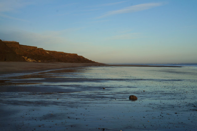
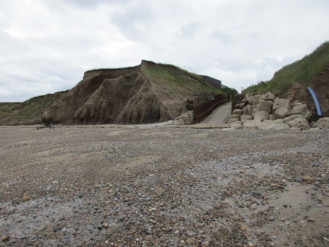
Hornsea Sands

Beach in Yorkshire

England

Hornsea Sands

The beach at Double Gates
The beach at Double Gates Credit: Ian S

The requested URL returned error: 429 Too Many Requests

If you have any feedback on the listing, please let us know in the comments section below.

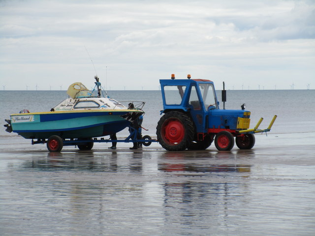
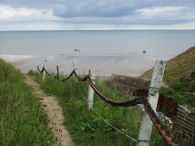
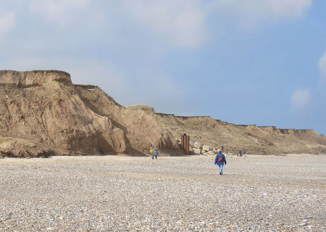
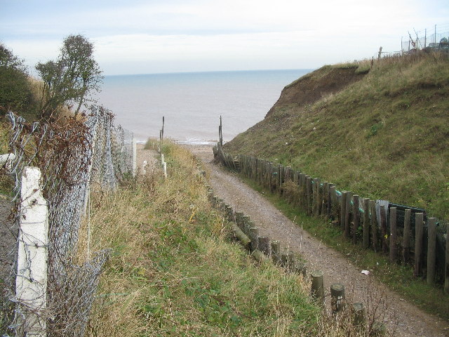
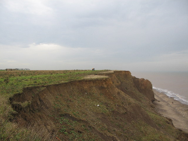
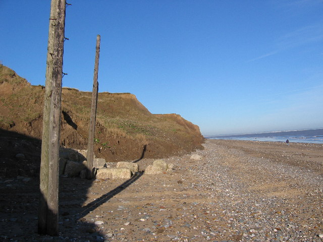
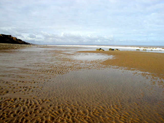
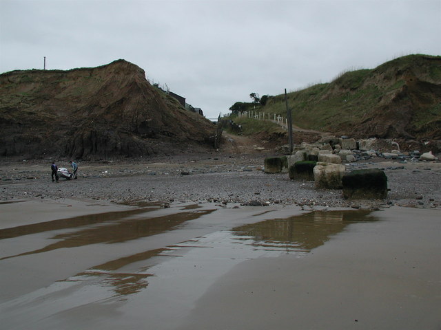
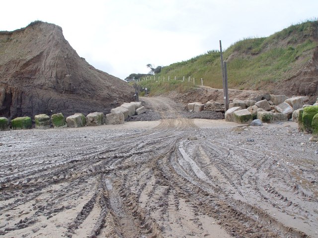
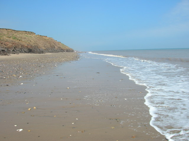
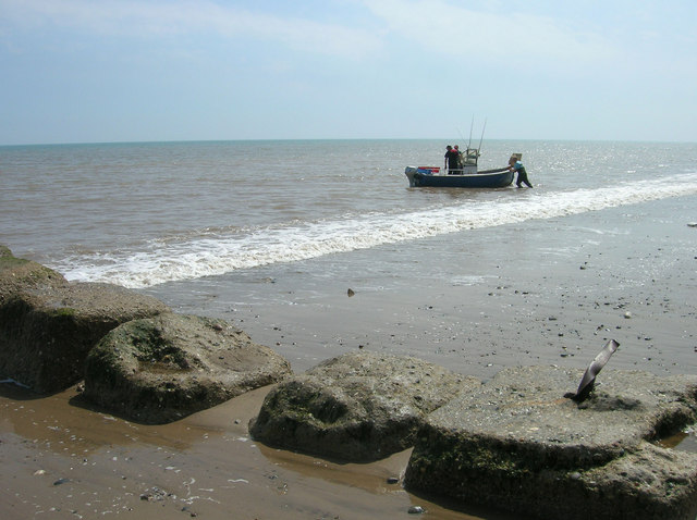
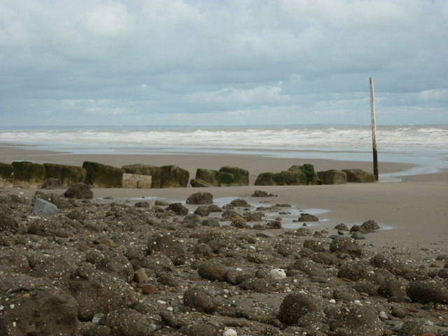
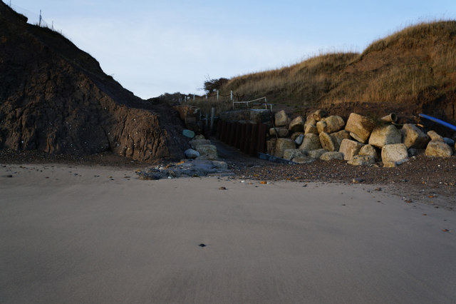
Hornsea Sands Images

Images are sourced within 2km of 53.919002/-0.16258917 or Grid Reference TA2048. Thanks to Geograph Open Source API. All images are credited.

The beach at Double Gates
Ready to launch This boat has been towed down from the Northcliff Boating Club site on the cliff top and is about to be pushed into the sea.
Ready to launch
This boat has been towed down from the Northcliff Boating Club site on the cliff top and is about to be pushed into the sea.
Beach access, Double Gates For the use of the Northcliff Boating Club. Anyone else has to scramble down the cliff as best they can.
Beach access, Double Gates
For the use of the Northcliff Boating Club. Anyone else has to scramble down the cliff as best they can.
The beach at Double Gates
Beach and Cliffs at Double Gates There is now very little land apart from beach left in TA2050. This is the extreme south west of the square.
Beach and Cliffs at Double Gates
There is now very little land apart from beach left in TA2050. This is the extreme south west of the square.
Double Gates Looking down the sailing club slipway to the area of beach known as Double Gates, although not much beach is visible at high tide! I assume the name comes from the open gates at the bottom of the slip, and the closed gates at the top of the slip, just behind the photographer position.
Double Gates
Looking down the sailing club slipway to the area of beach known as Double Gates, although not much beach is visible at high tide! I assume the name comes from the open gates at the bottom of the slip, and the closed gates at the top of the slip, just behind the photographer position.
Double Gates beach Looking north from the clifftop adjacent to the sailing club slipway at Double Gates, the soft nature of the cliffs can be seen. The section at centre right has been undermined and seems about to collapse onto the beach.
Double Gates beach
Looking north from the clifftop adjacent to the sailing club slipway at Double Gates, the soft nature of the cliffs can be seen. The section at centre right has been undermined and seems about to collapse onto the beach.
Beach  at Double Gates What you see here is just about all of the solid ground in this grid square. This view looking north from the SW corner of the square at TA2001350091. To the left are the twin posts of the North Cliff Boating Club slipway.
Beach at Double Gates
What you see here is just about all of the solid ground in this grid square. This view looking north from the SW corner of the square at TA2001350091. To the left are the twin posts of the North Cliff Boating Club slipway.
Atwick Beach Taken looking northwards towards the Bridlington Bay and Flamborough Head.
Atwick Beach
Taken looking northwards towards the Bridlington Bay and Flamborough Head.
Double Gates Beach The beach at Double Gates on the parish boundary between Atwick and Hornsea, looking southwest towards the boatyard slipway.
Double Gates Beach
The beach at Double Gates on the parish boundary between Atwick and Hornsea, looking southwest towards the boatyard slipway.
Double Gates Slipway and Beach Several craft had been towed by tractor to the water, hence the tyre marks.  The large stone blocks are an attempt to delay the erosion of the clay cliffs.
Double Gates Slipway and Beach
Several craft had been towed by tractor to the water, hence the tyre marks. The large stone blocks are an attempt to delay the erosion of the clay cliffs.
Double Gates Beach
Double Gates Beach
Coastal Defences, Double Gates
The beach at Double Gates
The slipway at Double Gates, Atwick
The clifftop at Double Gates, Atwick
Heading north towards Atwick Cliffs
Show me another place!

Hornsea Sands is located at Grid Ref: TA2048 (Lat: 53.919002, Lng: -0.16258917)

Division: East Riding

Unitary Authority: East Riding of Yorkshire

Police Authority: Humberside

What 3 Words

///lows.homelands.dabbing. Near Hornsea, East Yorkshire

Nearby Locations

Hornsea Sands

Related Wikis

Hornsea Cottage Hospital

Hornsea Cottage Hospital is a health facility in Eastgate, Hornsea, East Riding of Yorkshire, England. == History == The facility, which was built as a...

Hornsea Town Hall

Hornsea Town Hall is a municipal building in Newbegin in Hornsea, a town in the East Riding of Yorkshire in England. The building began life as a Wesleyan...

Hornsea Town railway station

Hornsea Town railway station was a railway station which served the town of Hornsea in the East Riding of Yorkshire, England. It was the terminus of the...

Hornsea School and Language College

Hornsea School and Language College is situated in the small seaside town of Hornsea in the East Riding of Yorkshire, England. It is a secondary comprehensive...

Nearby Amenities

Located within 500m of 53.919002,-0.16258917
Source: PGS
Lat/Long: 53.9161838/-0.1613638
Source: PGS
Lat/Long: 53.9186158/-0.1631682
Post Box
Post Box Type: pillar
Royal Cypher: EIIR
Royal Cypher Wikidata: Q33102113
Lat/Long: 53.9154138/-0.1624018
Bus Stop
Hornsea Cliff Road
Bus: yes
Naptan AtcoCode: 2200YEA00303
Naptan Bearing: S
Naptan CommonName: Hornsea Cliff Road
Naptan Landmark: Outside Number 82
Naptan ShortCommonName: Cliff Road
Naptan Street: Clifton Street
Naptan Verified: no
Public Transport: platform
Source: naptan_import
Lat/Long: 53.9175227/-0.165562
Bus Stop
Hornsea Marine Drive
Bus: yes
Naptan AtcoCode: 2200YEA00304
Naptan Bearing: S
Naptan CommonName: Hornsea Marine Drive
Naptan Landmark: Promanade
Naptan Street: Marine Drive
Naptan Verified: no
Public Transport: platform
Source: naptan_import
Lat/Long: 53.9155201/-0.1615842
Bus Stop
Hornsea Esplanade
Bus: yes
Naptan AtcoCode: 2200YEA01536
Naptan Bearing: N
Naptan CommonName: Hornsea Esplanade
Naptan Landmark: Near Bowling Green
Naptan Street: Esplanade
Naptan Verified: no
Public Transport: platform
Source: naptan_import
Lat/Long: 53.9170343/-0.1636038
Bus Stop
Hornsea Hartley Street
Bus: yes
Naptan AtcoCode: 2200YEA01539
Naptan Bearing: W
Naptan CommonName: Hornsea Hartley Street
Naptan Landmark: Outside Old Peoples Home
Naptan Street: Hartley Street
Naptan Verified: no
Public Transport: platform
Source: naptan_import
Lat/Long: 53.9171261/-0.1643155
Bus Stop
Hornsea EY Depot
Bus: yes
Naptan AtcoCode: 2200YEZ01253
Naptan Bearing: N
Naptan CommonName: Hornsea EY Depot
Naptan Crossing: Opp Beldevere Park
Naptan Landmark: Bus Depot
Naptan Street: Cliff Road
Naptan Verified: no
Public Transport: platform
Source: naptan_import
Lat/Long: 53.9204507/-0.1677484
Turning Circle
Source: Bing
Lat/Long: 53.9219599/-0.1673239
Turning Circle
Source: Bing
Lat/Long: 53.9220816/-0.1668248
Recycling
Source: survey
Lat/Long: 53.9191097/-0.1642635
Pub
The Marine
Brand: Greene King
Brand Wikidata: Q5564162
Source: survey
Website: https://www.greeneking.co.uk/pubs/east-riding-yorkshire/marine
Lat/Long: 53.9165164/-0.161944
Information: map_board
Source: survey
Tourism: information
Lat/Long: 53.9168366/-0.1619969
Noexit: yes
Lat/Long: 53.9177781/-0.1649547
Telescope
Source: survey
Lat/Long: 53.9156422/-0.161265
Toilets
Access: yes
Changing Table: yes
Fee: no
Note: changing table in wheelchair toilet which can be unlocked with a RADAR key
Lat/Long: 53.9155586/-0.1614177
Fast Food
Seafront Chippy
Cuisine: fish_and_chips
Source: survey
Lat/Long: 53.915012/-0.1615894
Bench
Source: survey
Lat/Long: 53.9155838/-0.1613024
Cafe
Huckleberry's
Source: survey
Lat/Long: 53.9154795/-0.1614044
Bucket & Spade
Shop: alcohol
Source: survey
Lat/Long: 53.9146711/-0.1615121
Today's Local
Shop: convenience
Lat/Long: 53.9149903/-0.1651918
Drinking Water
Access: yes
Bottle: yes
Fee: no
Lat/Long: 53.9154768/-0.1615574
The data included in this document is from www.openstreetmap.org. The data is made available under ODbL.

Have you been to Hornsea Sands?

Leave your review of Hornsea Sands below (or comments, questions and feedback).