Batsford

Settlement in Gloucestershire Cotswold

England

Batsford

Victoria Gardens This is a public park  just off the road from Moreton to Batsford. The path along the avenue of trees is also the Diamond Way long distance footpath. According to the sign dated 2004 dogs must be kept on a leash. As well as the leash signs there are several referring to dog waste and the council have provided a special bin.
Victoria Gardens Credit: Nigel Mykura

Batsford is a small village located in the Cotswold district of Gloucestershire, England. Situated about 1.5 miles west of Moreton-in-Marsh, it is nestled in the beautiful countryside of the Cotswolds Area of Outstanding Natural Beauty.

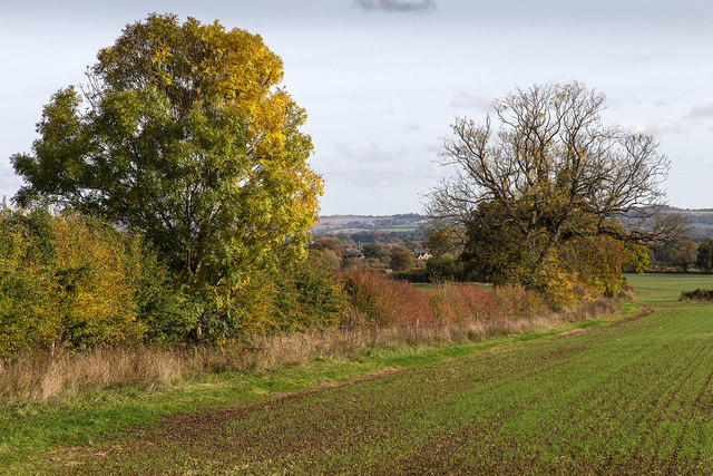
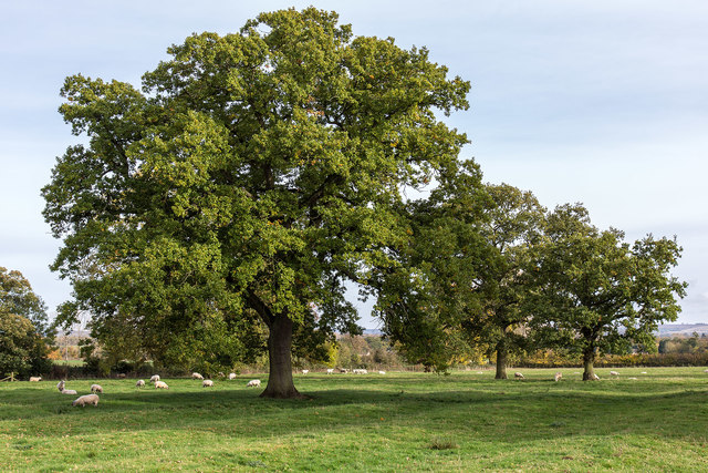
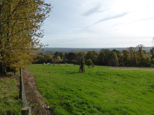
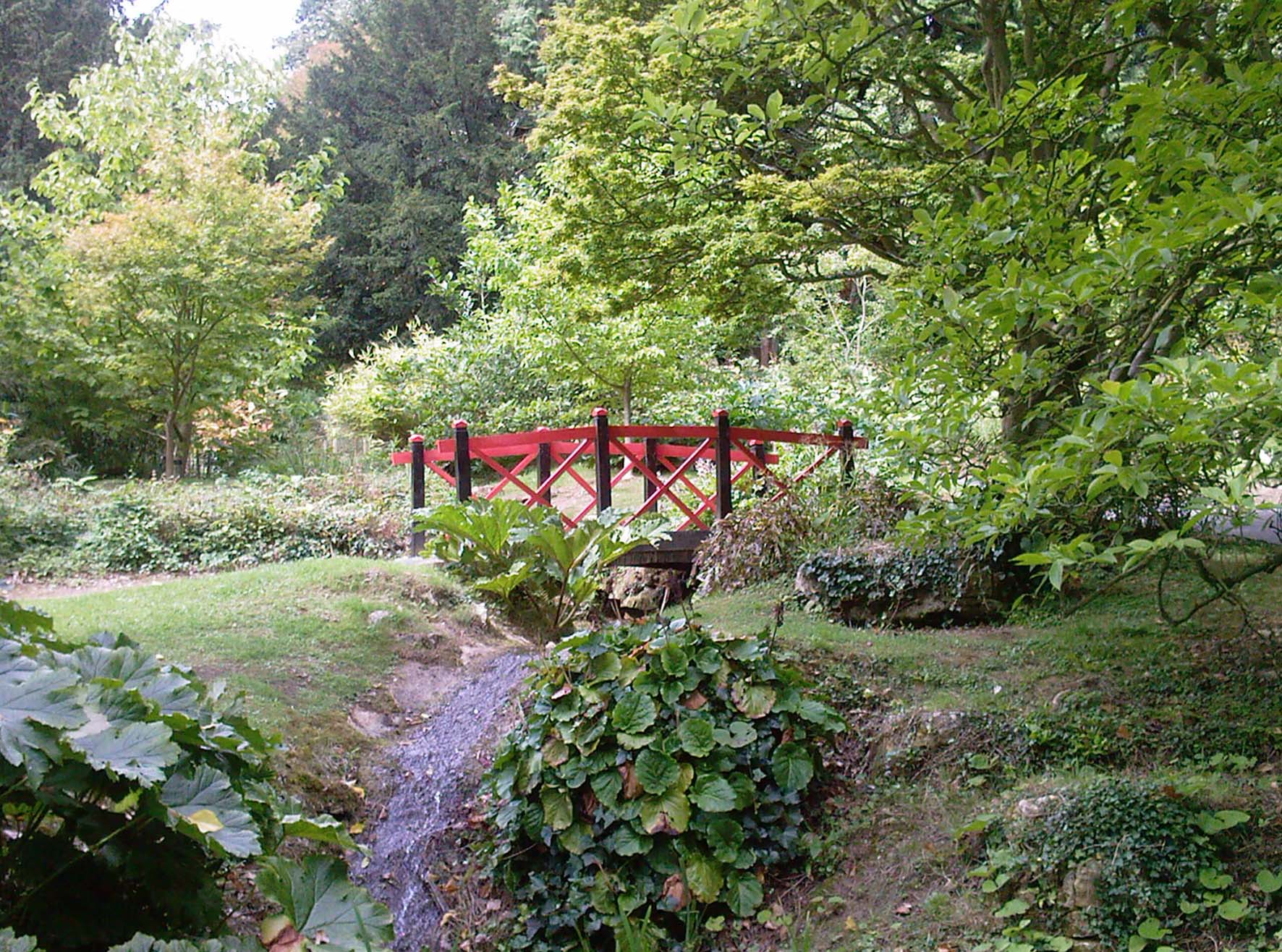
The village is known for its picturesque charm, with its traditional Cotswold stone buildings and well-manicured gardens. Batsford is famous for its arboretum, which covers a vast area of 56 acres and boasts one of the largest private collections of trees and shrubs in the country. The arboretum offers visitors a tranquil and serene setting, with a variety of pathways, ponds, and bridges that allow for leisurely strolls and exploration.

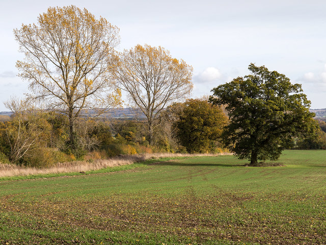
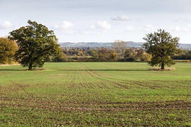
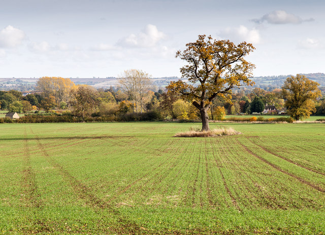
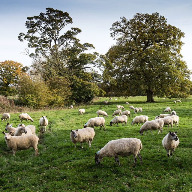
In addition to the arboretum, Batsford is home to Batsford Park, a large estate that encompasses the village. The park features rolling hills, meadows, and woodlands, making it a popular spot for outdoor activities such as walking, picnicking, and wildlife watching.

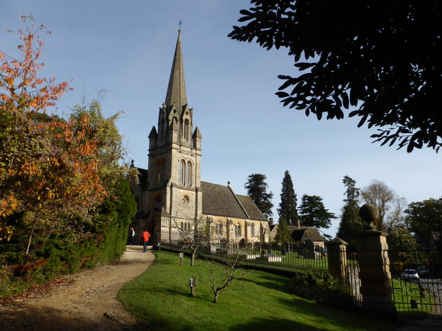
The village itself has a small population, with a few residential properties, a village hall, and a local pub. Despite its size, Batsford has a rich history, with records dating back to the Domesday Book of 1086. The area has seen various developments throughout the centuries, including the creation of the arboretum in the 19th century.

Overall, Batsford offers visitors a charming and tranquil retreat in the heart of the Cotswolds, with its stunning scenery, historic sites, and peaceful atmosphere.

If you have any feedback on the listing, please let us know in the comments section below.
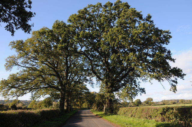
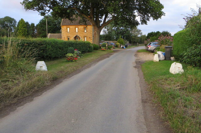
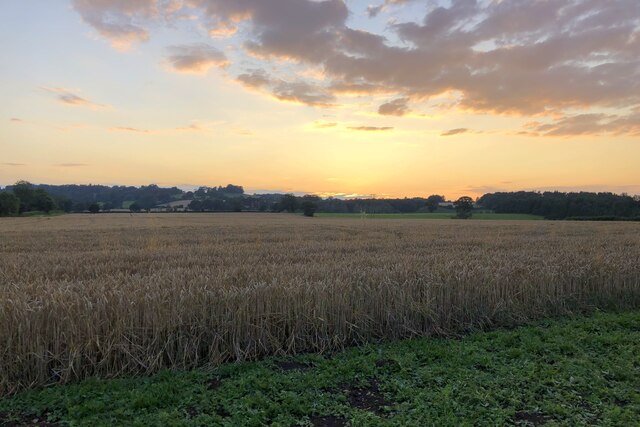
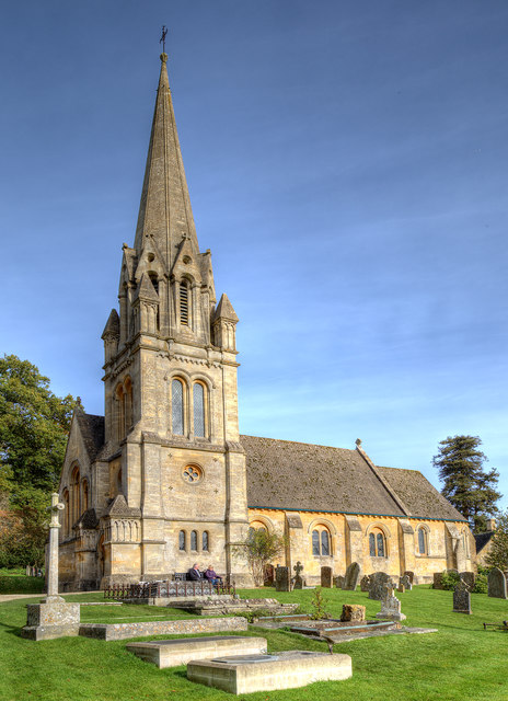
Batsford Images

Images are sourced within 2km of 52.003041/-1.727849 or Grid Reference SP1833. Thanks to Geograph Open Source API. All images are credited.

Victoria Gardens This is a public park  just off the road from Moreton to Batsford. The path along the avenue of trees is also the Diamond Way long distance footpath. According to the sign dated 2004 dogs must be kept on a leash. As well as the leash signs there are several referring to dog waste and the council have provided a special bin.
Victoria Gardens
This is a public park just off the road from Moreton to Batsford. The path along the avenue of trees is also the Diamond Way long distance footpath. According to the sign dated 2004 dogs must be kept on a leash. As well as the leash signs there are several referring to dog waste and the council have provided a special bin.
New Farm, Dorn New Farm is just north of the lane that runs from Fosse Way and the railway to Batsford Park.
New Farm, Dorn
New Farm is just north of the lane that runs from Fosse Way and the railway to Batsford Park.
Farm Buildings, New Farm
Country road near Batsford Country road from Moreton-in-Marsh to Batsford.
Country road near Batsford
Country road from Moreton-in-Marsh to Batsford.
Sheep in a field near Moreton-in-Marsh
Queen Victoria's Garden, Moreton In Marsh
Diamond Way going to Aston Magna
Coming in to Dorn
Coming in to Dorn
Field of wheat at sunset
St. Mary's Church, Batsford The south side of the church from the edge of the churchyard.
Anglican parish church. Rebuilt by W.F. Poulton and Woodman of
Reading 1861-2. Ashlar limestone.<span class="nowrap"><a title="http://www.britishlistedbuildings.co.uk/en-128641-church-of-st-mary-batsford-gloucestershi#.Viz3Syspknk" rel="nofollow ugc noopener" href="http://www.britishlistedbuildings.co.uk/en-128641-church-of-st-mary-batsford-gloucestershi#.Viz3Syspknk">Link</a><img style="margin-left:2px;" alt="External link" title="External link - shift click to open in new window" src="https://s1.geograph.org.uk/img/external.png" width="10" height="10"/></span>
St. Mary's Church, Batsford
The south side of the church from the edge of the churchyard. Anglican parish church. Rebuilt by W.F. Poulton and Woodman of Reading 1861-2. Ashlar limestone.LinkExternal link
Autumn Fields View ESE from the footpath to Bourton-on-the-Hill.
Autumn Fields
View ESE from the footpath to Bourton-on-the-Hill.
Autumn Fields View ESE from the footpath to Bourton-on-the-Hill.
Autumn Fields
View ESE from the footpath to Bourton-on-the-Hill.
Autumn Fields View ESE from the footpath to Bourton-on-the-Hill.
Autumn Fields
View ESE from the footpath to Bourton-on-the-Hill.
Sheep by the footpath View ESE from the footpath to Bourton-on-the-Hill.
Sheep by the footpath
View ESE from the footpath to Bourton-on-the-Hill.
Autumn Hedgerow View ESE from the footpath to Bourton-on-the-Hill.
Autumn Hedgerow
View ESE from the footpath to Bourton-on-the-Hill.
Autumn Fields View ESE from the footpath to Bourton-on-the-Hill.
Autumn Fields
View ESE from the footpath to Bourton-on-the-Hill.
Batsford Arboretum - viewpoint Looking over the boundary fence at one of the corners of the arboretum.
Batsford Arboretum - viewpoint
Looking over the boundary fence at one of the corners of the arboretum.
Batsford Church from the Arboretum It is possible to enter the arboretum from this end but a notice warns that people doing so without a ticket risk prosecution as the pay booth is at the other end.
Batsford Church from the Arboretum
It is possible to enter the arboretum from this end but a notice warns that people doing so without a ticket risk prosecution as the pay booth is at the other end.
Show me another place!

Batsford is located at Grid Ref: SP1833 (Lat: 52.003041, Lng: -1.727849)

Administrative County: Gloucestershire

District: Cotswold

Police Authority: Gloucestershire

What 3 Words

///juggler.shape.messy. Near Moreton in Marsh, Gloucestershire

Related Wikis

Nearby Amenities

Located within 500m of 52.003041,-1.727849
Batsford
Created By: Potlatch 0.10f
Place: hamlet
Lat/Long: 52.0032501/-1.7282216
Bus Stop
Saw Mill Crossroads
Bus: yes
Naptan AtcoCode: 1600GL325
Naptan Bearing: NE
Naptan CommonName: Saw Mill Crossroads
Naptan NaptanCode: glogjtad
Naptan Street: Aston Magna Road
Naptan Verified: no
Public Transport: platform
Source: naptan_import
Lat/Long: 52.0048548/-1.7267899
Bus Stop
Saw Mill Crossroads
Bus: yes
Naptan AtcoCode: 1600GL326
Naptan Bearing: SW
Naptan CommonName: Saw Mill Crossroads
Naptan NaptanCode: glogjtag
Naptan Street: Aston Magna Road
Naptan Verified: no
Public Transport: platform
Source: naptan_import
Lat/Long: 52.0048365/-1.7266735
Material: wood
Power: pole
Lat/Long: 52.0060218/-1.7232803
Power: pole
Lat/Long: 52.0072213/-1.7288768
Power: pole
Lat/Long: 52.0065766/-1.7249836
Power: pole
Lat/Long: 52.0069307/-1.7270904
Post Box
Brand: Royal Mail
Brand Wikidata: Q638098
Brand Wikipedia: en:Royal Mail
Operator: Royal Mail
Operator Wikidata: Q638098
Post Box Type: wall
Ref: GL56 134
Royal Cypher: EVIIR
Royal Cypher Wikidata: Q33102324
Lat/Long: 52.0027269/-1.7295152
Power: pole
Lat/Long: 52.0074558/-1.7272045
Power: pole
Lat/Long: 52.0070381/-1.7285925
Power: pole
Lat/Long: 52.0066864/-1.7298813
Power: pole
Lat/Long: 52.0063347/-1.731146
Batsford Hill Lodge
Power: pole
Transformer: distribution
Voltage Primary: 11000
Lat/Long: 52.0060045/-1.7323329
Batsford
Power: pole
Transformer: distribution
Voltage Primary: 11000
Lat/Long: 52.0027067/-1.7301904
Batsford Estate Yard
Location Transition: yes
Power: pole
Transformer: distribution
Voltage Primary: 11000
Lat/Long: 52.0041862/-1.7295823
Power: pole
Lat/Long: 52.0046155/-1.730279
Power: pole
Lat/Long: 52.005122/-1.7311111
Power: pole
Lat/Long: 52.0053416/-1.7319976
Power: pole
Lat/Long: 52.005583/-1.7329846
Traffic Calming: bump
Lat/Long: 52.0008012/-1.7333071
Waste Basket
Waste: dog_excrement;trash
Lat/Long: 52.0024638/-1.7309771
Traffic Calming: bump
Lat/Long: 52.0026033/-1.7306485
Waterway: waterfall
Lat/Long: 51.9998523/-1.7320504
The data included in this document is from www.openstreetmap.org. The data is made available under ODbL.

Have you been to Batsford?

Leave your review of Batsford below (or comments, questions and feedback).