Cold Well Lake
Lake, Pool, Pond, Freshwater Marsh in Gloucestershire Cotswold
England
Cold Well Lake

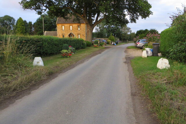
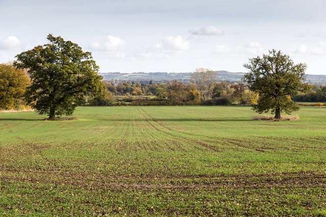
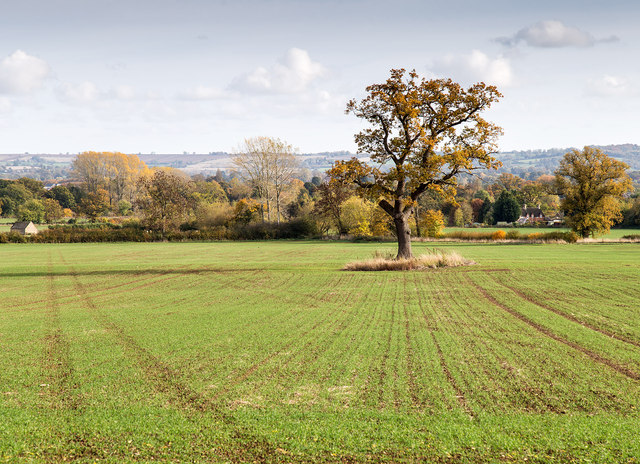
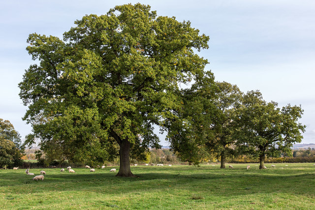
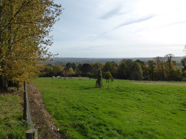
Cold Well Lake is a picturesque freshwater body located in the county of Gloucestershire, England. Nestled amidst the rolling hills and lush greenery of the countryside, it is a popular destination for nature enthusiasts and locals seeking tranquility.
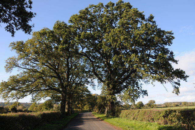
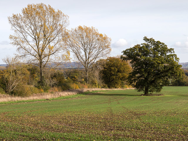
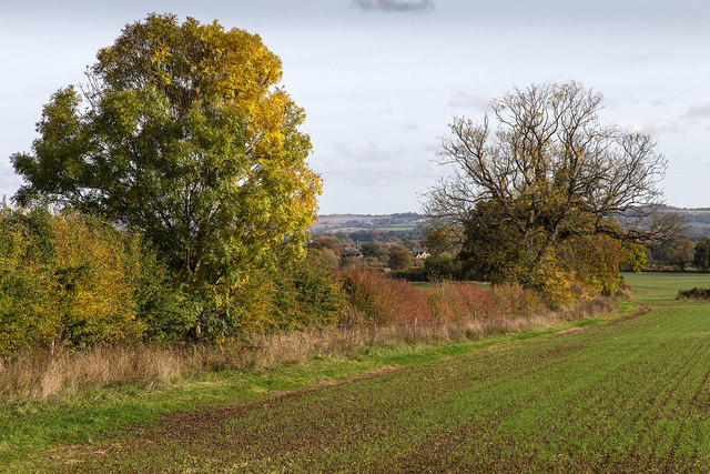
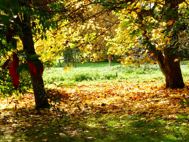
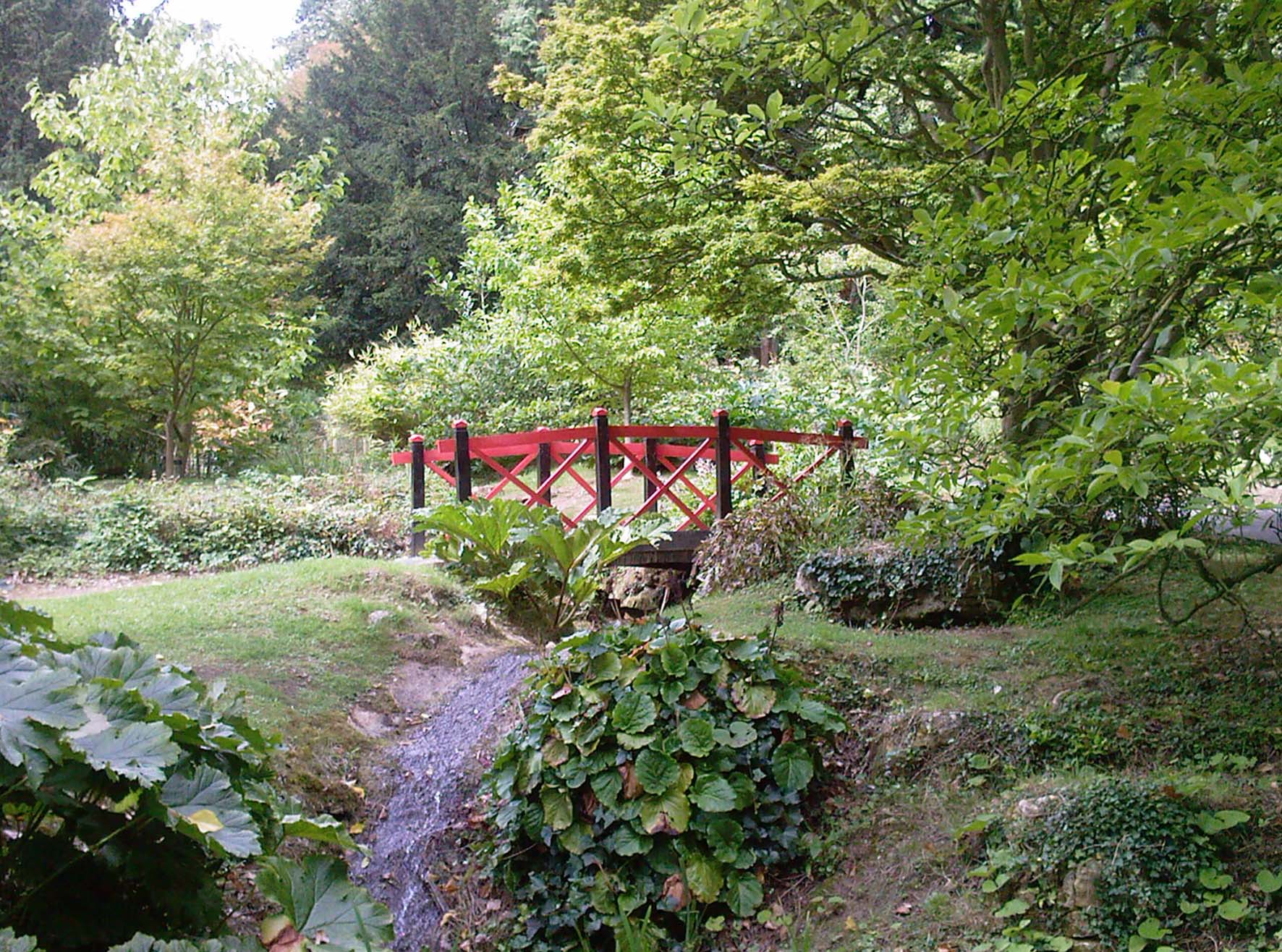
Covering an area of approximately 5 acres, Cold Well Lake is classified as a lake but has the appearance of a large pond due to its relatively small size. It is fed by natural springs that keep the water cool and fresh throughout the year. The lake is surrounded by a dense forest, providing a natural habitat for a wide variety of wildlife, including birds, insects, and small mammals.
The surface of the lake is adorned with an abundance of water lilies and other aquatic plants, adding to its aesthetic appeal. These plants also provide shelter and food for the numerous species of fish that inhabit the lake, such as roach, perch, and carp. As a result, Cold Well Lake attracts many fishing enthusiasts who come to test their skills and enjoy the peaceful surroundings.
Adjacent to the lake, there is a freshwater marsh, which serves as a valuable ecosystem for wetland plants and bird species. The marshland is home to reeds, rushes, and sedges, creating a diverse habitat for various waterfowl, including ducks, swans, and herons.
Cold Well Lake offers a serene and idyllic setting for visitors to relax and connect with nature. Whether it's fishing, birdwatching, or simply enjoying a leisurely stroll along the tranquil shores, this hidden gem in Gloucestershire provides a haven of natural beauty and tranquility.
If you have any feedback on the listing, please let us know in the comments section below.
Cold Well Lake Images
Images are sourced within 2km of 51.999842/-1.7311809 or Grid Reference SP1833. Thanks to Geograph Open Source API. All images are credited.


Cold Well Lake is located at Grid Ref: SP1833 (Lat: 51.999842, Lng: -1.7311809)
Administrative County: Gloucestershire
District: Cotswold
Police Authority: Gloucestershire
What 3 Words
///rebounds.meaty.provoking. Near Moreton in Marsh, Gloucestershire
Nearby Locations
Related Wikis

Batsford
Batsford is a village and civil parish in the Cotswold district of Gloucestershire, England. The village is about 1½ miles north-west of Moreton-in...
Batsford Arboretum
Batsford Arboretum is a 55-acre (220,000 m2) arboretum and botanical garden near Batsford in Gloucestershire, England, about 1½ miles north-west of Moreton...

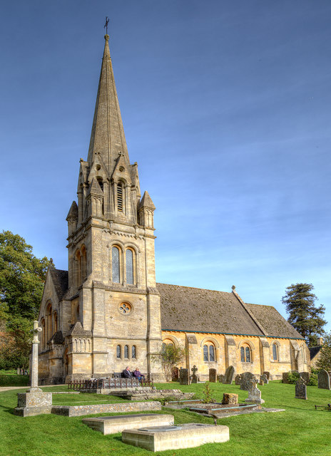
Church of St Lawrence, Bourton-on-the-Hill
The Anglican Church of St Lawrence at Bourton-on-the-Hill in the Cotswold District of Gloucestershire, England was built in the 12th century. It is a grade...

Batsford Road
Batsford Road, sometimes known as Moreton-in-Marsh Cricket Club Ground, is a cricket ground in Moreton-in-Marsh, Gloucestershire. The ground is located...

Lower Lemington
Lower Lemington is a small village and former civil parish, now in the parish of Batsford, in the Cotswold district of Gloucestershire, England. The village...

Dorn, Gloucestershire
Dorn is a hamlet in the Cotswold district of Gloucestershire, England. The hamlet is about 1 mile north of Moreton-in-Marsh. Dorn lies on the west side...
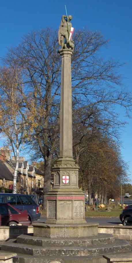
Moreton-in-Marsh and Batsford War Memorial
Moreton-in-Marsh and Batsford War Memorial stands in Moreton-in-Marsh, Gloucestershire, England, and is a memorial to those of Moreton and Batsford killed...
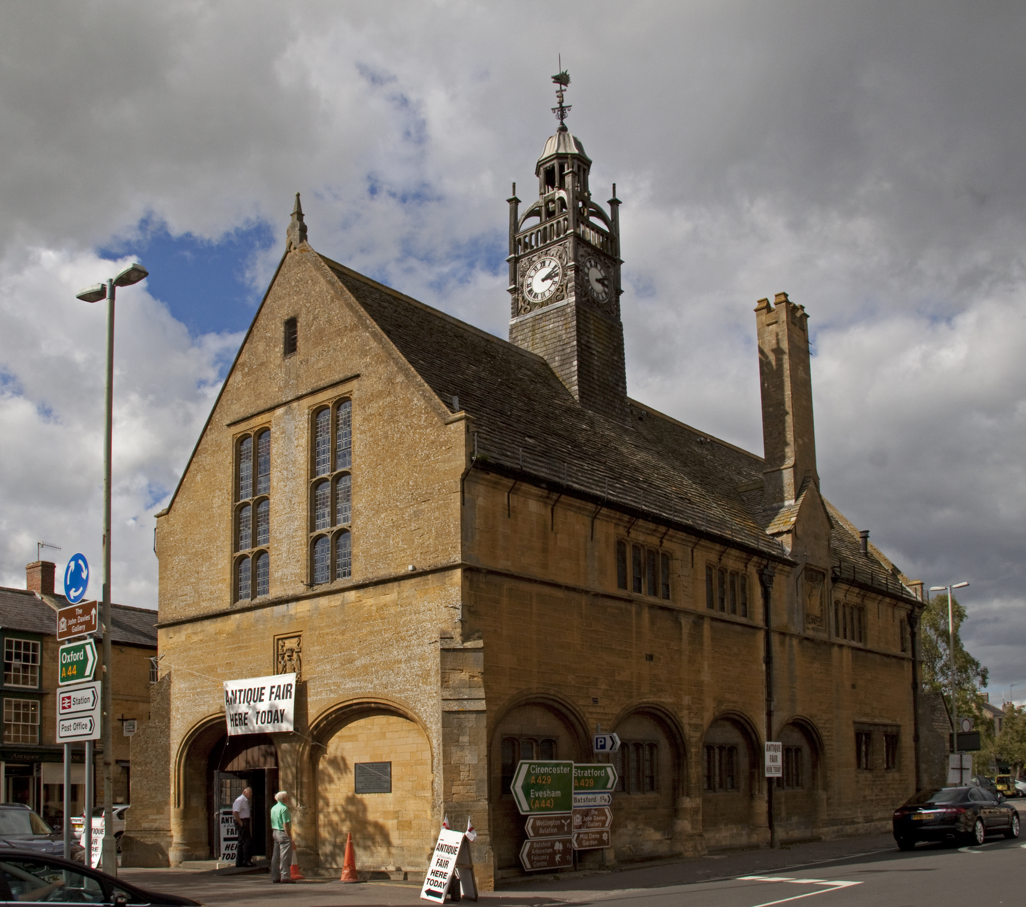
Redesdale Hall
Redesdale Hall, also referred to as Moreton-in-Marsh Town Hall, is a municipal building in the High Street, Moreton-in-Marsh, Gloucestershire, England...
Nearby Amenities
Located within 500m of 51.999842,-1.7311809Have you been to Cold Well Lake?
Leave your review of Cold Well Lake below (or comments, questions and feedback).