South Gill

Lake, Pool, Pond, Freshwater Marsh in Yorkshire Harrogate

England

South Gill

Greygarth Monument Erected to celebrate Queen Victoria's Diamond Jubilee in 1897.  This spot affords tremendous views on a clear day, particularly to the east, over the Vale of York to the White Horse of Kilburn and the North York Moors.
Greygarth Monument Credit: Chris Heaton

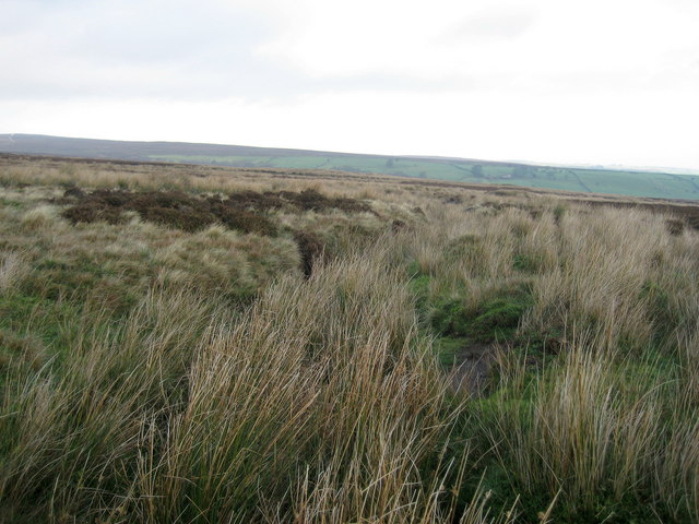
South Gill is a picturesque freshwater marsh located in the county of Yorkshire, England. Nestled amidst the scenic landscape, this natural beauty spot offers a serene and tranquil environment for both locals and tourists alike.

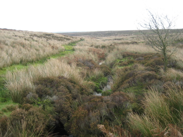
The main attraction of South Gill is its expansive lake, which stretches across the marshland. The lake is characterized by its crystal-clear, calm waters, reflecting the surrounding lush greenery. It serves as a habitat for a diverse range of aquatic flora and fauna, including various species of fish, waterfowl, and amphibians.

Surrounding the lake are several smaller bodies of water, such as pools and ponds. These smaller water features provide additional habitats for a varied array of plant and animal life. The pools, in particular, are known for their still waters, making them ideal for observing the delicate ecosystem that thrives within them.

The freshwater marsh itself is a haven for numerous species of plants, including reeds, rushes, and water lilies. These plants not only enhance the natural beauty of the area but also provide a vital habitat for a wide range of wildlife. Visitors to South Gill can expect to encounter a rich assortment of bird species, such as swans, geese, and ducks, which frequently inhabit the marsh.

The unique combination of the lake, pools, ponds, and freshwater marsh at South Gill offers visitors an opportunity to immerse themselves in the tranquility of nature while observing the rich biodiversity that flourishes in this enchanting corner of Yorkshire.

If you have any feedback on the listing, please let us know in the comments section below.
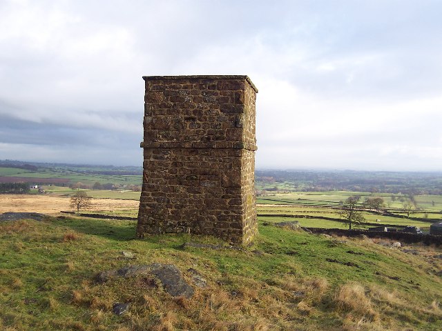
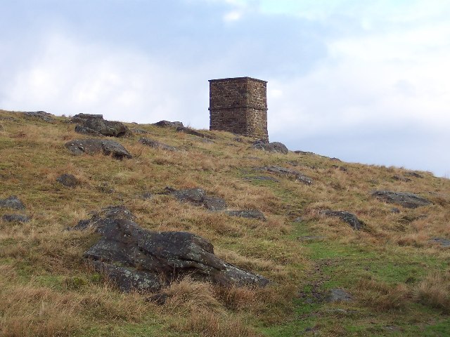
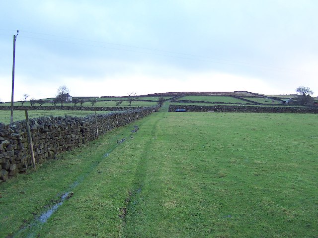
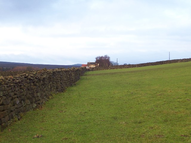
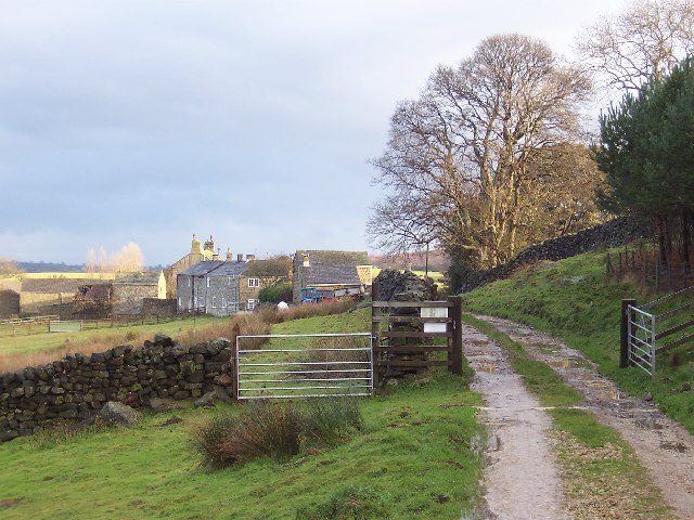
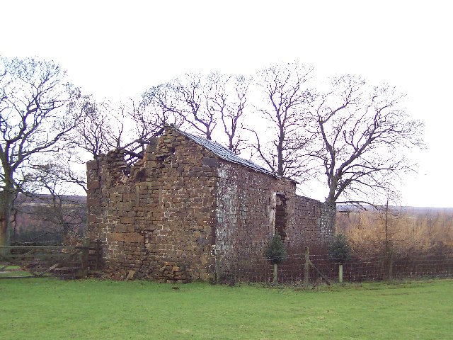
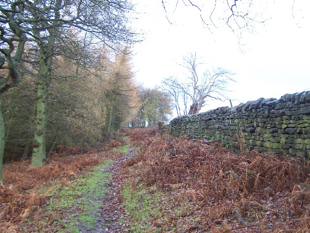
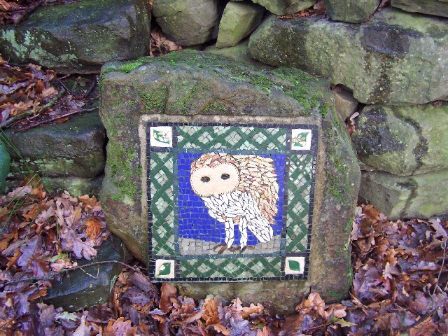
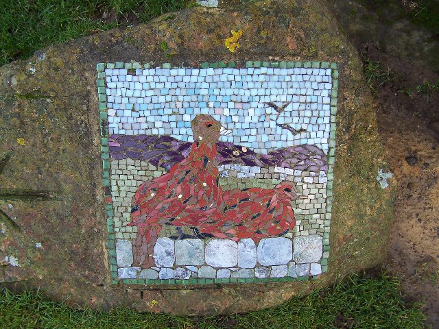
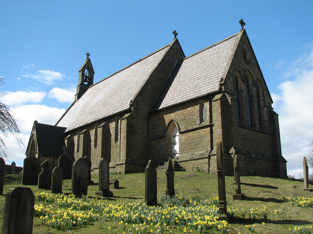
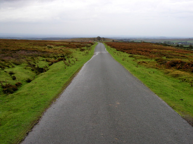
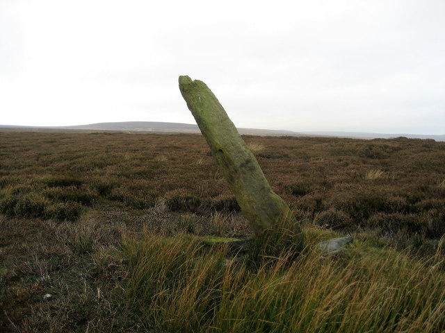
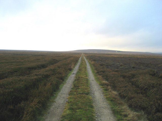
South Gill Images

Images are sourced within 2km of 54.133656/-1.7156574 or Grid Reference SE1870. Thanks to Geograph Open Source API. All images are credited.

Greygarth Monument Erected to celebrate Queen Victoria's Diamond Jubilee in 1897.  This spot affords tremendous views on a clear day, particularly to the east, over the Vale of York to the White Horse of Kilburn and the North York Moors.
Greygarth Monument
Erected to celebrate Queen Victoria's Diamond Jubilee in 1897. This spot affords tremendous views on a clear day, particularly to the east, over the Vale of York to the White Horse of Kilburn and the North York Moors.
Approach to Greygarth Monument There is a right of way over Greygarth Hill to reach the monument from the west.
Approach to Greygarth Monument
There is a right of way over Greygarth Hill to reach the monument from the west.
Green Lane leading away from Dallowgill to Greygarth Pleasant preamble through upland pastures near Greygarth.
Green Lane leading away from Dallowgill to Greygarth
Pleasant preamble through upland pastures near Greygarth.
Approaching Bents House Crossing upland pastures from the east, above the valley of Dallowgill to reach the farm known as Bents House
Approaching Bents House
Crossing upland pastures from the east, above the valley of Dallowgill to reach the farm known as Bents House
Dallow Collection of houses that make up the hamlet of Dallow, from the west.
Dallow
Collection of houses that make up the hamlet of Dallow, from the west.
Abandoned Farm Buildings, Dallowgill Close to Bents House, and above the wooded cleft of Dallowgill.
Abandoned Farm Buildings, Dallowgill
Close to Bents House, and above the wooded cleft of Dallowgill.
Woods in Dallowgill
Woods in Dallowgill
Art near Stang Brae, Dallowgill Supplemental, I agree.  The area around Dallowgill has several of these mosaics in odd places, almost like a treasure hunt.  Someone with an artistic flair has gone to much trouble.
Art near Stang Brae, Dallowgill
Supplemental, I agree. The area around Dallowgill has several of these mosaics in odd places, almost like a treasure hunt. Someone with an artistic flair has gone to much trouble.
Mosaic on Hawset Rigg Another masterpiece around Dallowgill.  This one has an arrow indicator.
Mosaic on Hawset Rigg
Another masterpiece around Dallowgill. This one has an arrow indicator.
Saint Peter's Church, Dallowgill. A springtime view of a secluded chapel within Southern Nidderdale.
Saint Peter's Church, Dallowgill.
A springtime view of a secluded chapel within Southern Nidderdale.
Moorland Road
Moorland Road
Saint Peter's Church Lovely little church far from any large concentrations of population.
Saint Peter's Church
Lovely little church far from any large concentrations of population.
Mechanised Shepherd, Dallow Moor Modern shepherd herding his sheep off the moor, and following this track to Harper Hill
Mechanised Shepherd, Dallow Moor
Modern shepherd herding his sheep off the moor, and following this track to Harper Hill
Bogs Dike This tiny watercourse is almost hidden by moorland vegetation.  Plenty of grouse in this location.
Bogs Dike
This tiny watercourse is almost hidden by moorland vegetation. Plenty of grouse in this location.
Tracks on Harper Hill Junction of tracks - the one to the left leads to Dallow Moor, while the other one heads for Wake Hill
Tracks on Harper Hill
Junction of tracks - the one to the left leads to Dallow Moor, while the other one heads for Wake Hill
Boundary Stone, Dallowgill Moor Beside the access track to Kettlestang Shooting House, this particular stone has leaned a long way from the intended perpendicular
Boundary Stone, Dallowgill Moor
Beside the access track to Kettlestang Shooting House, this particular stone has leaned a long way from the intended perpendicular
Access Track, Dallowgill Moor Track leading to Kettlestang Shooting House
Access Track, Dallowgill Moor
Track leading to Kettlestang Shooting House
South Gill Beck Small watercourse on Dallowgill Moor
South Gill Beck
Small watercourse on Dallowgill Moor
Show me another place!

South Gill is located at Grid Ref: SE1870 (Lat: 54.133656, Lng: -1.7156574)

Division: West Riding

Administrative County: North Yorkshire

District: Harrogate

Police Authority: North Yorkshire

What 3 Words

///exists.dorms.fragment. Near Pateley Bridge, North Yorkshire

Related Wikis

Dallowgill

Dallowgill (historically also Dallaghill) is a village in Harrogate district in North Yorkshire, England. It consists of a number of scattered settlements...

High and Low Bishopside

High and Low Bishopside is a civil parish in Nidderdale in the Harrogate district, in the county of North Yorkshire, England. It includes the town of Pateley...

Grantley, North Yorkshire

Grantley is a village (also known as High Grantley) and civil parish in North Yorkshire, England. It lies 5 miles (8 km) west of Ripon. The parish also...

Eavestone

Eavestone is a hamlet and civil parish in the Harrogate district of North Yorkshire, England. It is situated near Brimham Rocks, 3 miles (4.8 km) east...

Nearby Amenities

Located within 500m of 54.133656,-1.7156574
Place: farm
Lat/Long: 54.1370358/-1.7143486
The data included in this document is from www.openstreetmap.org. The data is made available under ODbL.

Have you been to South Gill?

Leave your review of South Gill below (or comments, questions and feedback).