Sally Beds
Wood, Forest in Gloucestershire Cotswold
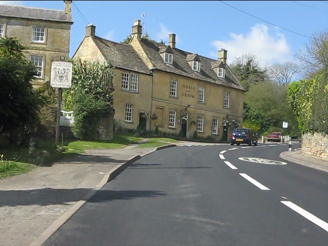
England
Sally Beds

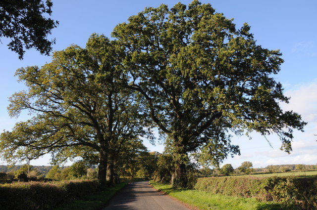
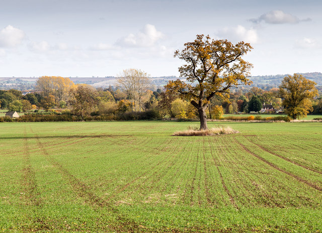
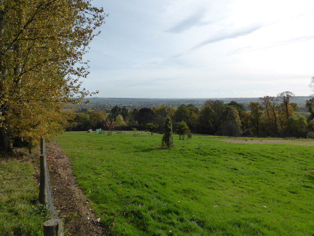
Sally Beds is a serene woodland area nestled in the picturesque county of Gloucestershire, England. Located within the enchanting Forest of Dean, it is a haven for nature enthusiasts and those seeking tranquility amidst the lush greenery. Spread across a sprawling expanse, Sally Beds is renowned for its abundant woodlands and captivating scenery.
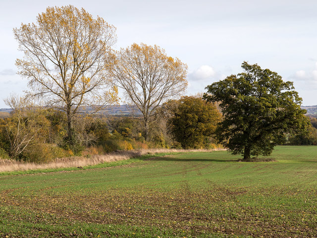
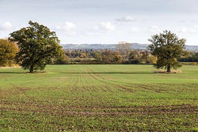
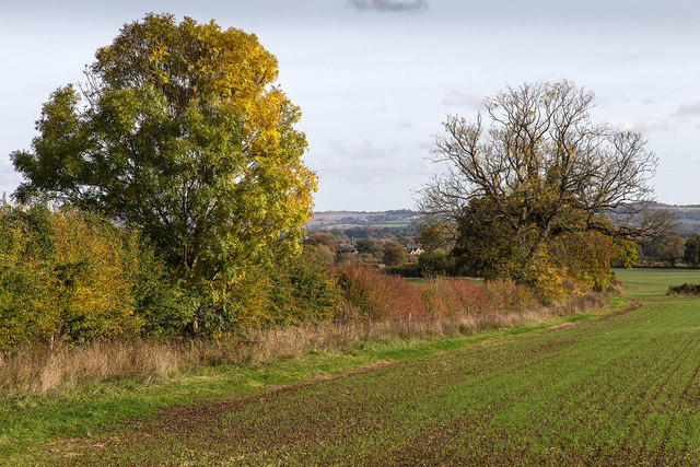
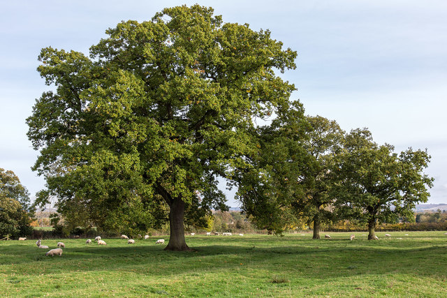
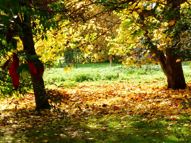
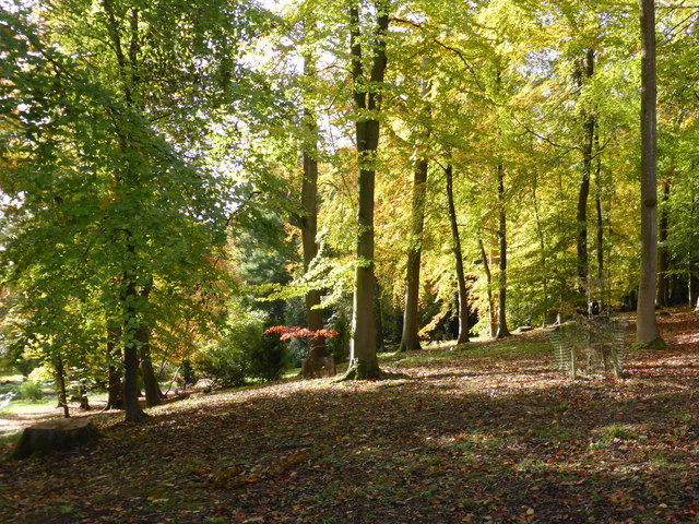
The woodland is predominantly composed of ancient oak trees, their towering presence lending an air of majesty to the surroundings. The forest floor is blanketed with a rich tapestry of wildflowers, ferns, and moss, creating a vibrant and diverse ecosystem. Visitors can explore the network of well-maintained trails that wind through the woods, allowing them to immerse themselves in the pristine natural beauty.
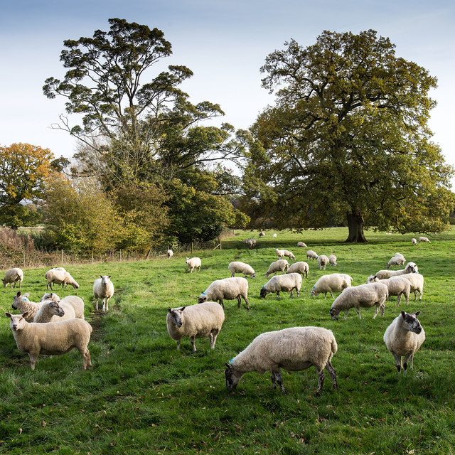
Sally Beds is also known for its native wildlife, which includes a variety of bird species, such as woodpeckers and owls, as well as small mammals like badgers and foxes. Nature enthusiasts may also catch a glimpse of the elusive Roe deer, which find solace in the peaceful seclusion of the woodland.
The area offers several amenities for visitors, including picnic areas and designated camping spots, allowing them to fully appreciate the beauty of Sally Beds. Moreover, there are knowledgeable guides available who provide insightful information about the flora and fauna, making the experience all the more enriching.
Sally Beds in Gloucestershire, England, is a true gem of natural beauty, offering a serene retreat from the hustle and bustle of everyday life.
If you have any feedback on the listing, please let us know in the comments section below.
Sally Beds Images
Images are sourced within 2km of 51.996537/-1.7327591 or Grid Reference SP1833. Thanks to Geograph Open Source API. All images are credited.


Sally Beds is located at Grid Ref: SP1833 (Lat: 51.996537, Lng: -1.7327591)
Administrative County: Gloucestershire
District: Cotswold
Police Authority: Gloucestershire
What 3 Words
///untruth.snack.hacking. Near Moreton in Marsh, Gloucestershire
Nearby Locations
Related Wikis

Batsford
Batsford is a village and civil parish in the Cotswold district of Gloucestershire, England. The village is about 1½ miles north-west of Moreton-in...
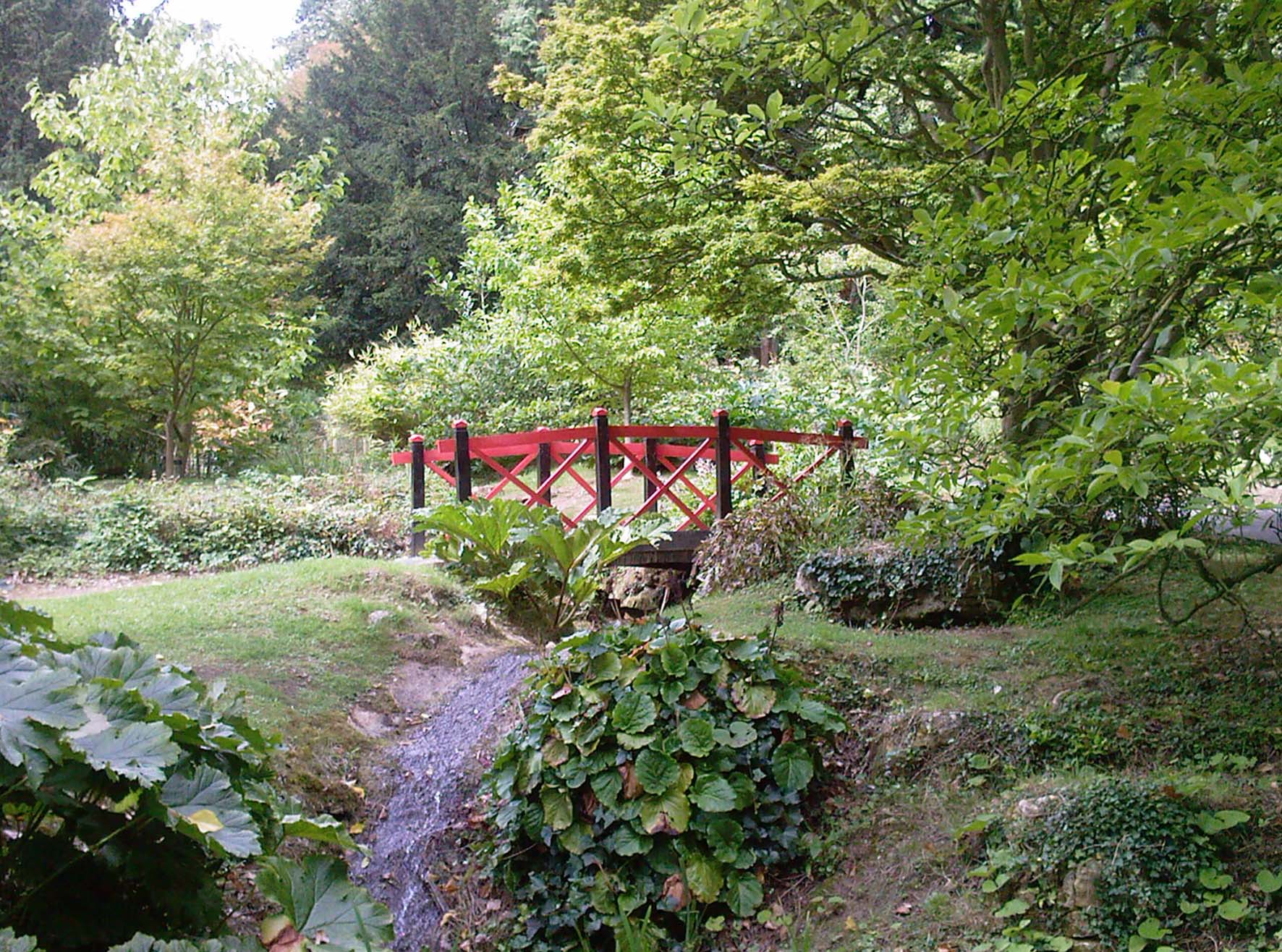
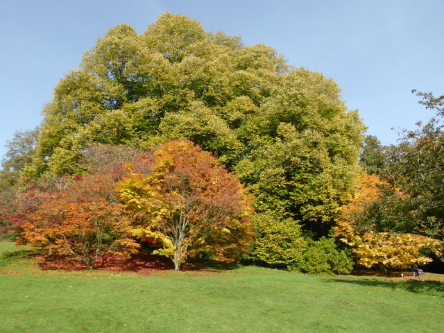
Batsford Arboretum
Batsford Arboretum is a 55-acre (220,000 m2) arboretum and botanical garden near Batsford in Gloucestershire, England, about 1½ miles north-west of Moreton...

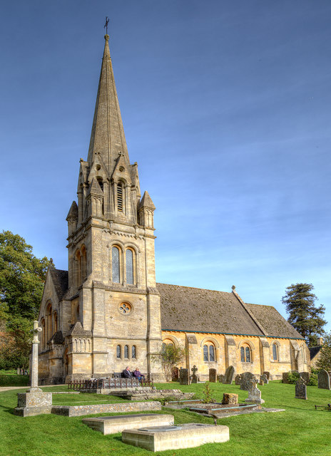
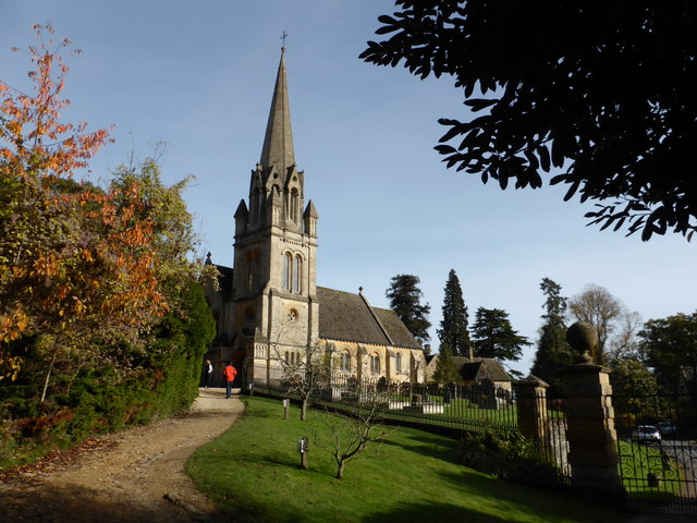
Church of St Lawrence, Bourton-on-the-Hill
The Anglican Church of St Lawrence at Bourton-on-the-Hill in the Cotswold District of Gloucestershire, England was built in the 12th century. It is a grade...

Batsford Road
Batsford Road, sometimes known as Moreton-in-Marsh Cricket Club Ground, is a cricket ground in Moreton-in-Marsh, Gloucestershire. The ground is located...
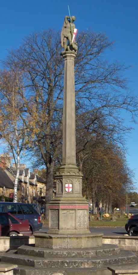
Moreton-in-Marsh and Batsford War Memorial
Moreton-in-Marsh and Batsford War Memorial stands in Moreton-in-Marsh, Gloucestershire, England, and is a memorial to those of Moreton and Batsford killed...
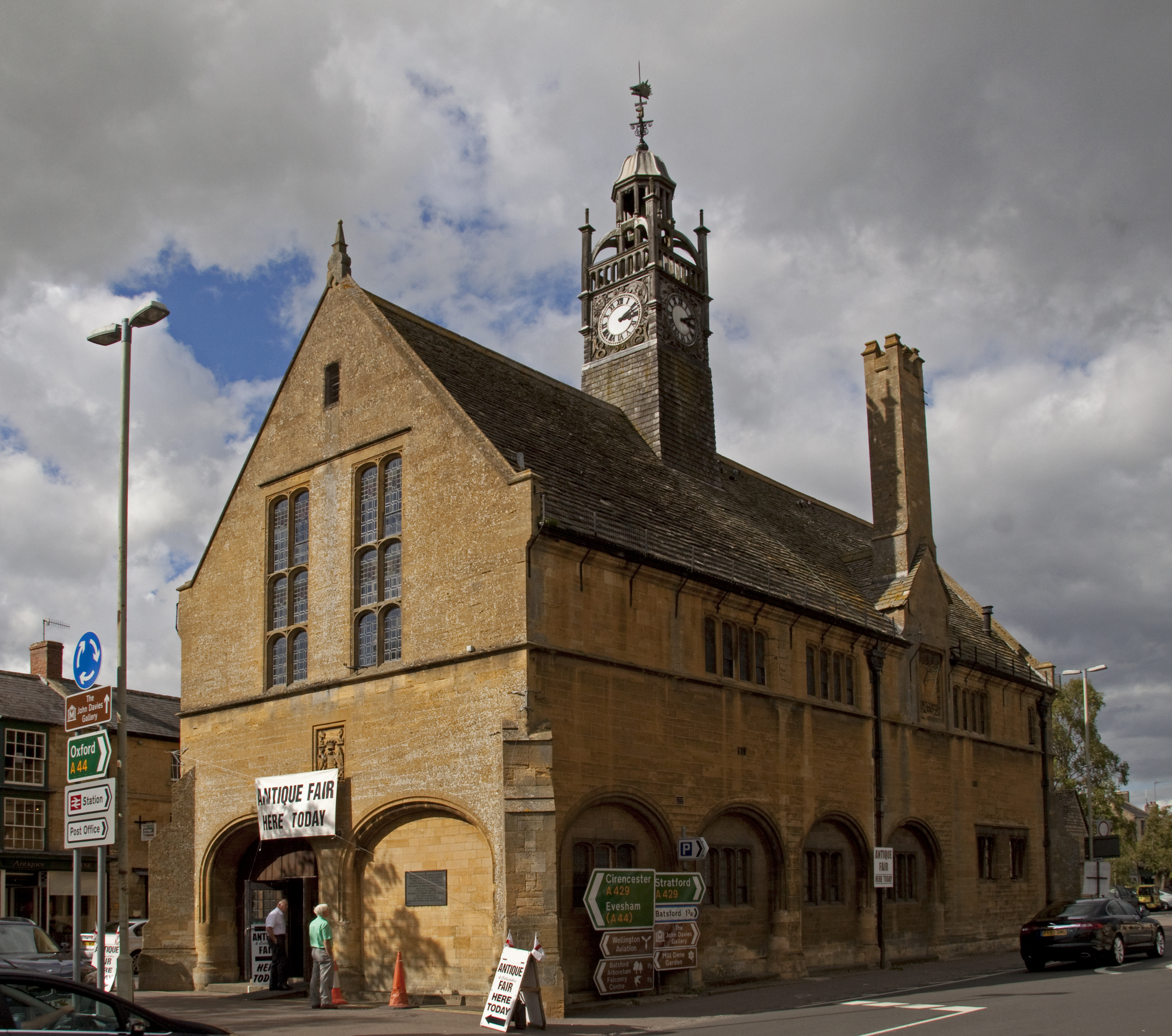
Redesdale Hall
Redesdale Hall, also referred to as Moreton-in-Marsh Town Hall, is a municipal building in the High Street, Moreton-in-Marsh, Gloucestershire, England...
Bourton-on-the-Hill
Bourton-on-the-Hill is a village and civil parish in the Cotswold district of Gloucestershire, England, and about 2 miles (3 km) west of Moreton-in-Marsh...

North Cotswold Rural District
North Cotswold was, from 1935 to 1974, a rural district in the administrative county of Gloucestershire, England. == Formation == Under the Local Government...
Nearby Amenities
Located within 500m of 51.996537,-1.7327591Have you been to Sally Beds?
Leave your review of Sally Beds below (or comments, questions and feedback).