Slade Wood
Wood, Forest in Yorkshire
England
Slade Wood
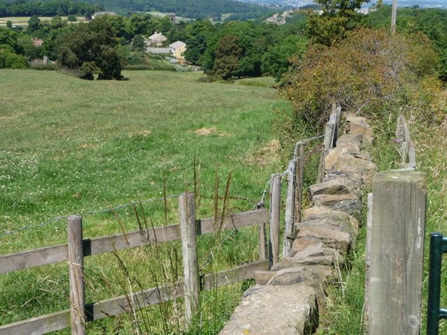
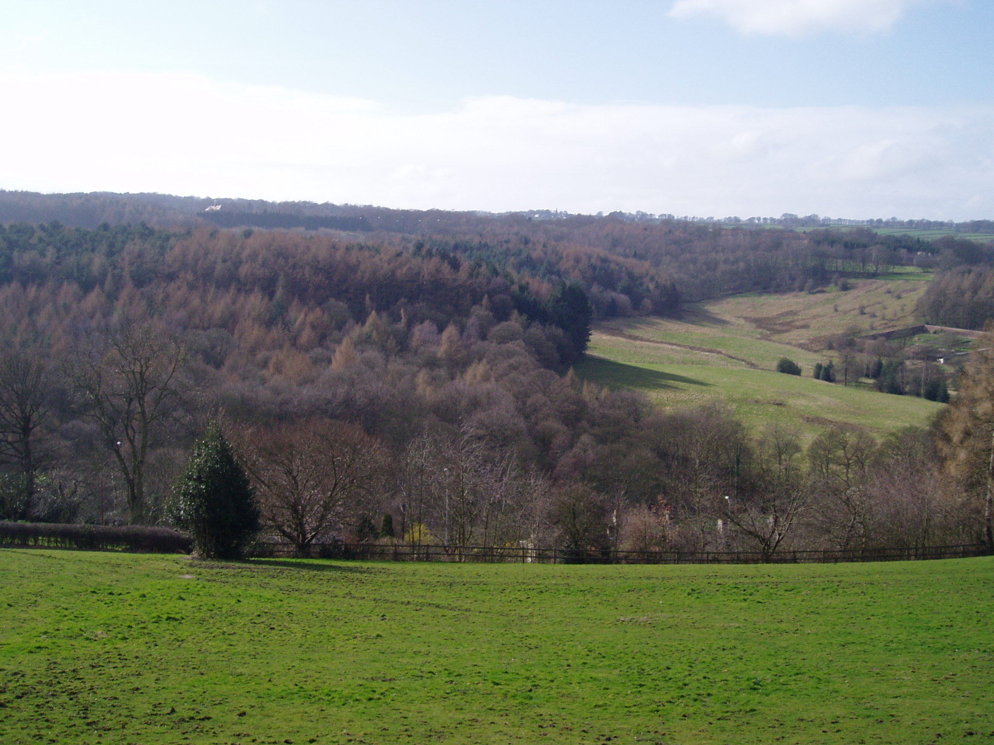
Slade Wood is a picturesque woodland located in the county of Yorkshire, England. Nestled in the heart of the region, this enchanting forest is known for its captivating beauty and rich biodiversity. Spanning an area of approximately 100 acres, Slade Wood offers a tranquil and serene escape from the hustle and bustle of city life.
The woodland is characterized by its dense canopy of towering oak, beech, and ash trees, creating a mesmerizing canopy that filters the sunlight and creates a dappled effect on the forest floor. The undergrowth is abundant with ferns, mosses, and wildflowers, contributing to the area's vibrant and diverse ecosystem.
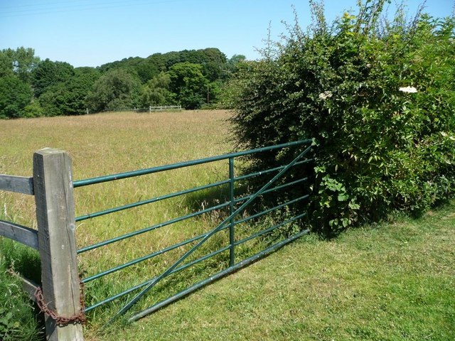
Visitors to Slade Wood can explore a network of well-maintained walking trails that wind through the forest, allowing them to experience the beauty of nature up close. Along these trails, one can spot various species of birds, including woodpeckers, thrushes, and owls, as well as small mammals like squirrels and rabbits.
The woodland also boasts a small river that meanders through its heart, providing a peaceful soundtrack to the surrounding tranquility. This river attracts a variety of aquatic wildlife, such as fish and amphibians, further enhancing the area's ecological significance.
Slade Wood is a haven for nature enthusiasts, photographers, and those seeking a peaceful retreat amidst the natural beauty of Yorkshire. With its idyllic setting, diverse flora and fauna, and well-maintained trails, it offers a truly immersive experience in the heart of nature.
If you have any feedback on the listing, please let us know in the comments section below.
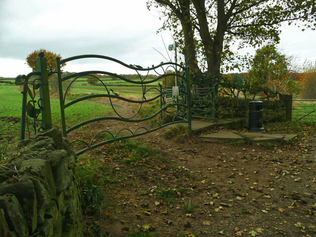
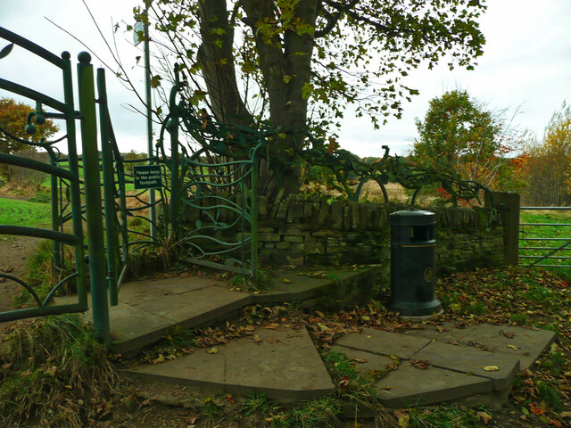
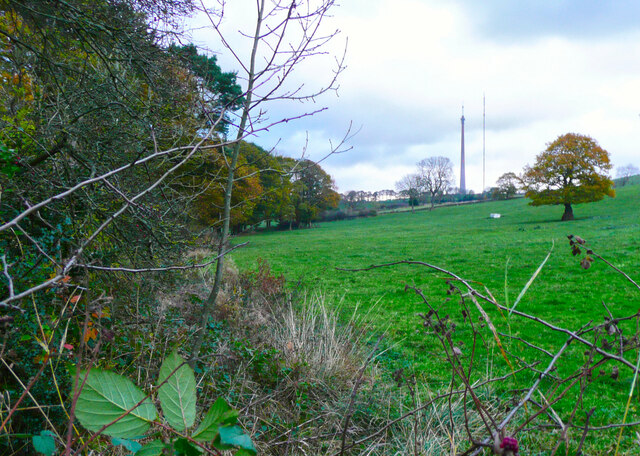
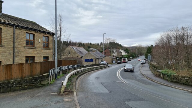
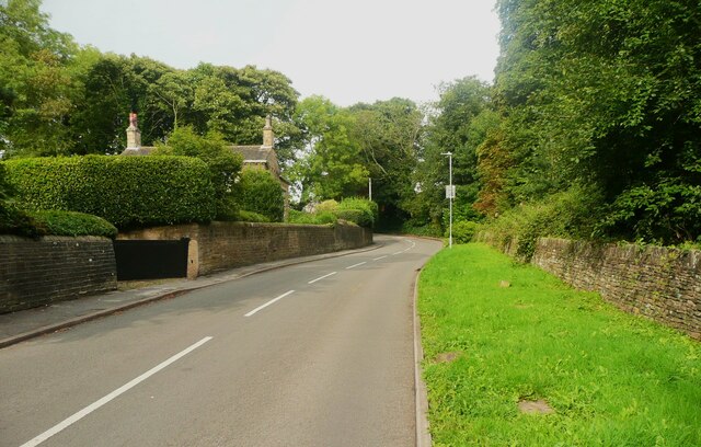
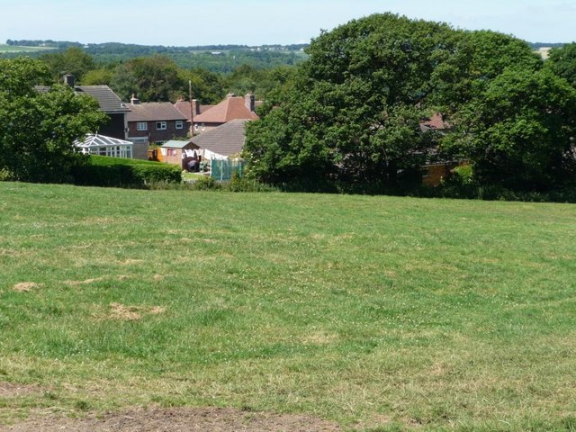
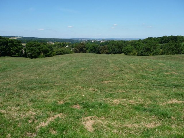
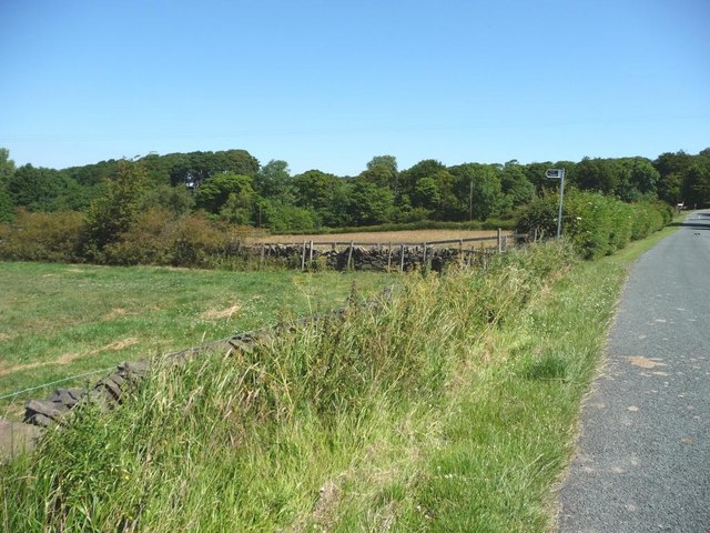
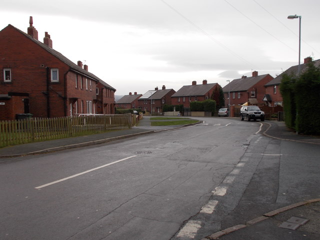
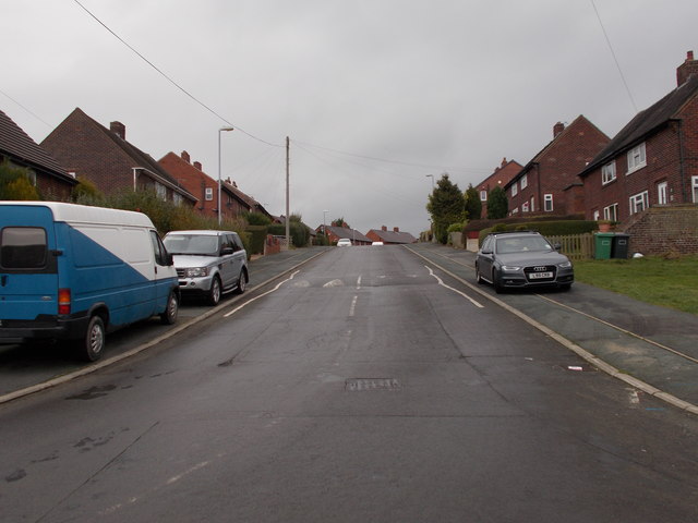
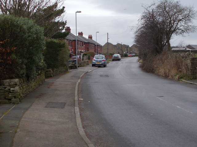
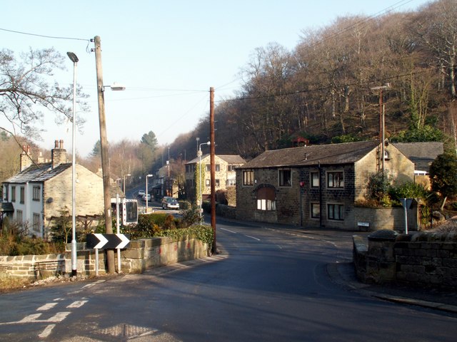
Slade Wood Images
Images are sourced within 2km of 53.601985/-1.7228487 or Grid Reference SE1811. Thanks to Geograph Open Source API. All images are credited.


Slade Wood is located at Grid Ref: SE1811 (Lat: 53.601985, Lng: -1.7228487)
Division: West Riding
Unitary Authority: Kirklees
Police Authority: West Yorkshire
What 3 Words
///canine.trailers.astounded. Near Kirkburton, West Yorkshire
Nearby Locations
Related Wikis

Huddersfield Town F.C. Women
Huddersfield Town Women Football Club is an English women's football club based in Huddersfield, West Yorkshire. The team play their homes matches at the...
Shelley C.F.C.
Shelley Community Football Club is a football club based in Shelley, West Yorkshire, England. They are currently members of the North West Counties League...
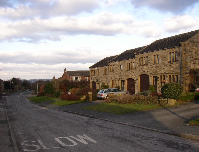
Thunder Bridge
Thunder Bridge or Thunderbridge is a hamlet and bridge in the civil parish of Kirkburton, in the Kirklees district, in the county of West Yorkshire, England...
Myers Wood
Myers Wood is a wooded area in the village of Kirkburton, West Yorkshire, England. It forms part of a heavily forested area to the west of the village...

Stocksmoor railway station
Stocksmoor railway station serves the village of Stocksmoor near Huddersfield in West Yorkshire, England. The station is 6.25 miles (10 km) from Huddersfield...
Stocksmoor
Stocksmoor is a hamlet, near Huddersfield, West Yorkshire, England. It is situated between the villages of Shepley and Brockholes. The total population...

Storthes Hall
Storthes Hall is part of the civil parish of Kirkburton in West Yorkshire, England. A heavily wooded area, it comprises a single road, Storthes Hall Lane...
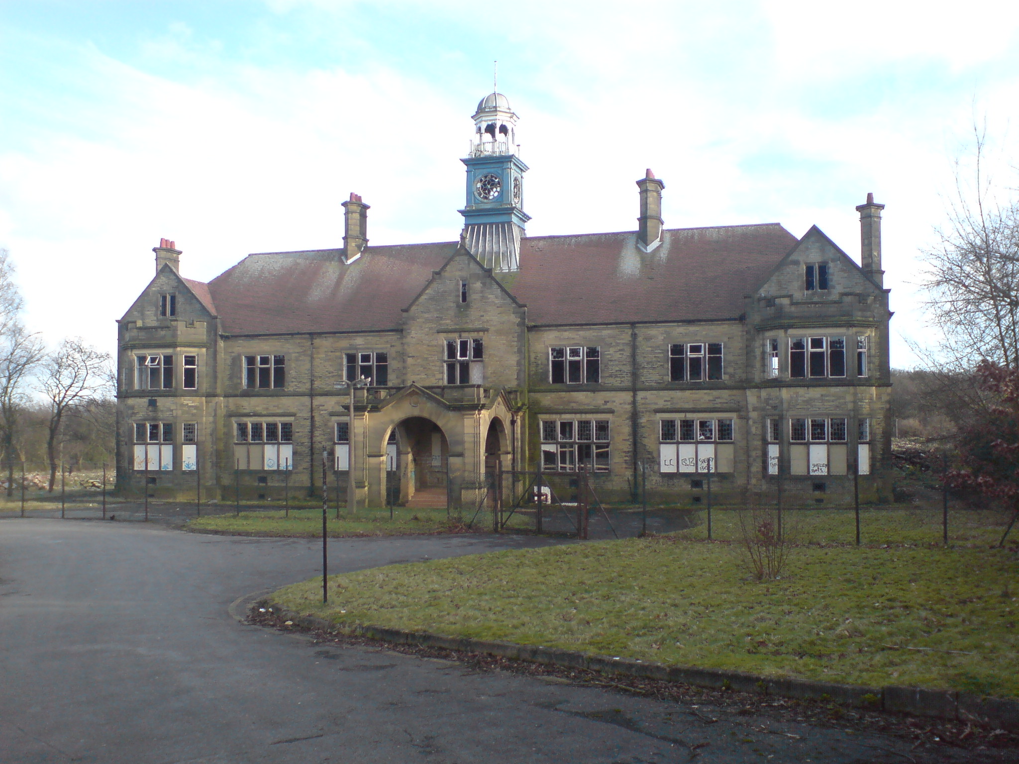
Storthes Hall Hospital
Storthes Hall Hospital was a mental health facility at Storthes Hall, Huddersfield, West Yorkshire, England. Founded in 1904, it expanded to over 3,000...
Nearby Amenities
Located within 500m of 53.601985,-1.7228487Have you been to Slade Wood?
Leave your review of Slade Wood below (or comments, questions and feedback).