Boothroyd Wood
Wood, Forest in Yorkshire
England
Boothroyd Wood
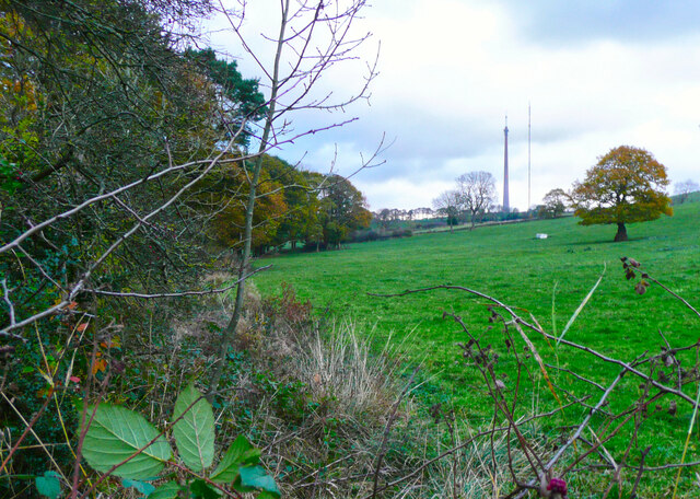
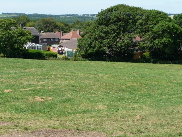
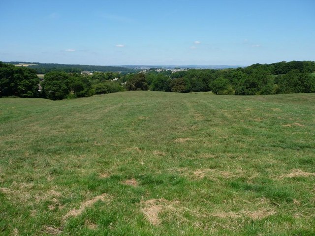
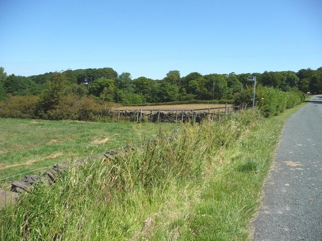
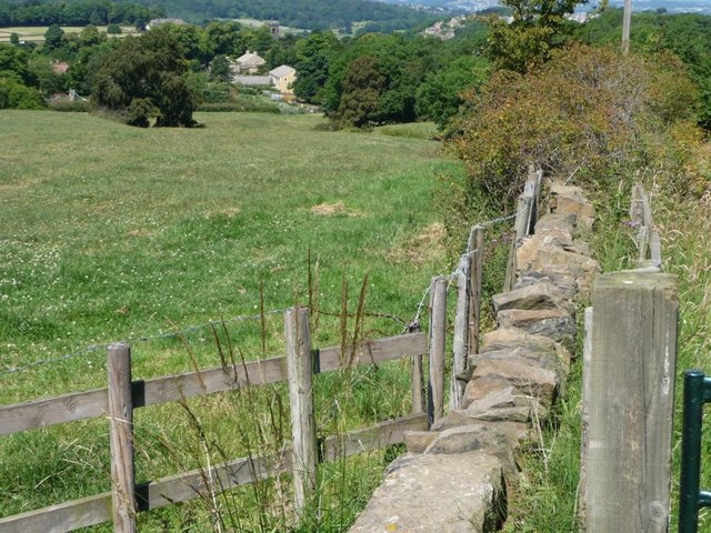
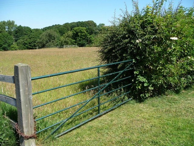
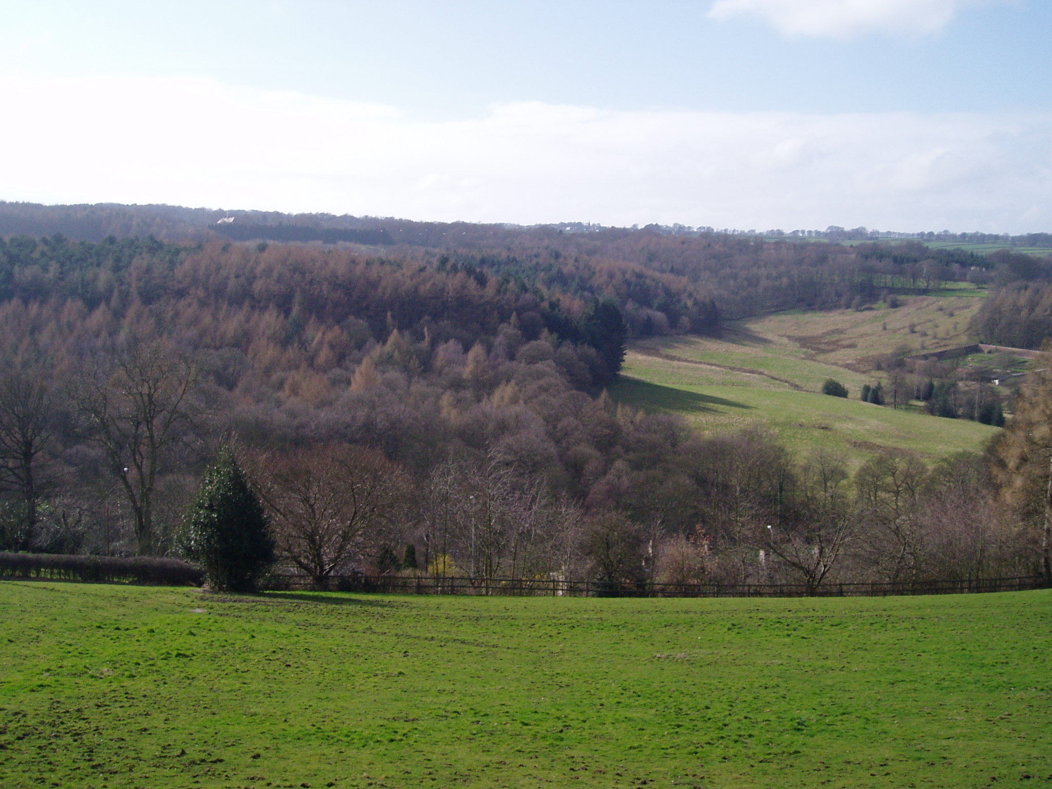
Boothroyd Wood, located in Yorkshire, is a picturesque forest that covers an expansive area of land. The wood is characterized by its dense foliage, tall trees, and diverse range of flora and fauna. It is a popular destination for nature enthusiasts and hikers alike.
The wood is home to a variety of tree species, including oak, beech, and birch, which contribute to its lush greenery throughout the year. The forest floor is covered in a thick carpet of moss, creating a serene and tranquil atmosphere. Visitors can expect to encounter a multitude of wildlife, such as deer, foxes, and various bird species, making it a haven for animal lovers and birdwatchers.
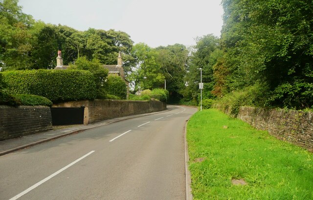
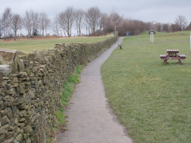
Trails and footpaths wind through the wood, offering visitors the opportunity to explore its beauty at their own pace. There are also designated picnic areas and viewpoints that provide stunning vistas of the surrounding countryside. The wood is well-maintained, with the paths regularly cleared and signposted for ease of navigation.
In addition to its natural beauty, Boothroyd Wood holds historical significance. The area has been inhabited since ancient times, and remnants of Iron Age settlements have been discovered within its boundaries. Archaeological excavations have also revealed evidence of medieval activity, adding to the wood's cultural heritage.
Overall, Boothroyd Wood is a captivating destination that combines natural charm with historical intrigue. Its abundant wildlife, scenic trails, and rich history make it a must-visit location for those seeking an escape into nature.
If you have any feedback on the listing, please let us know in the comments section below.
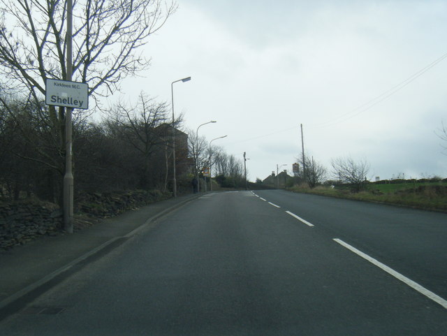
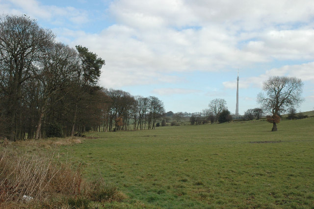
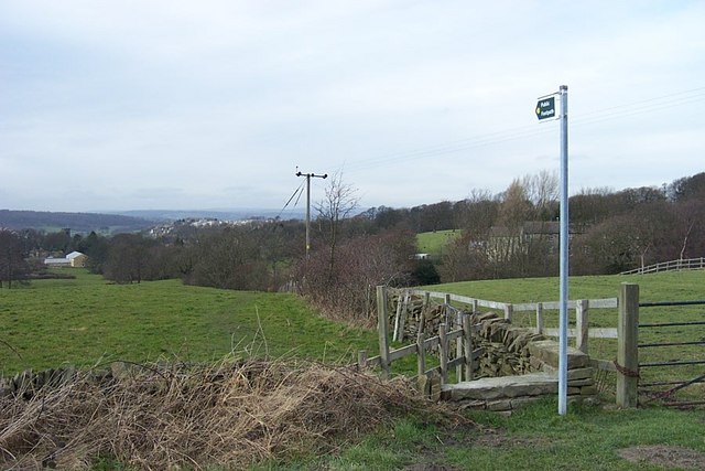
Boothroyd Wood Images
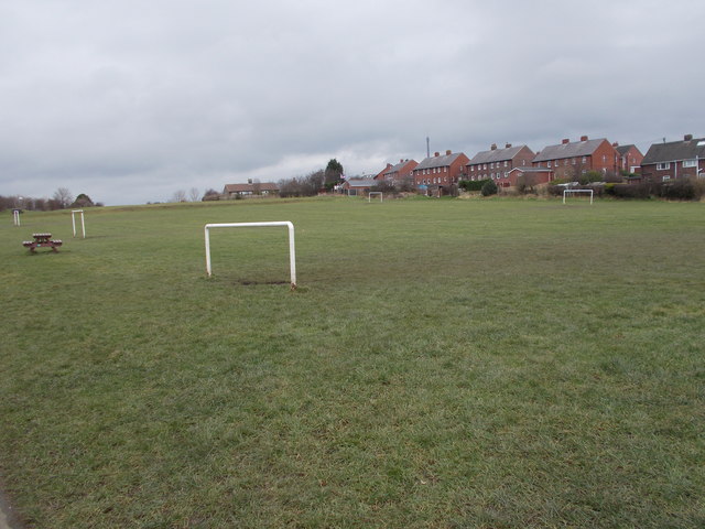
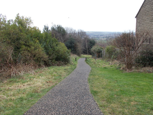
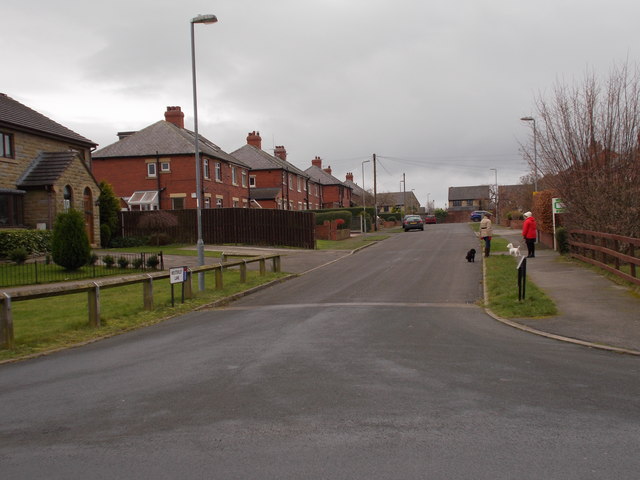
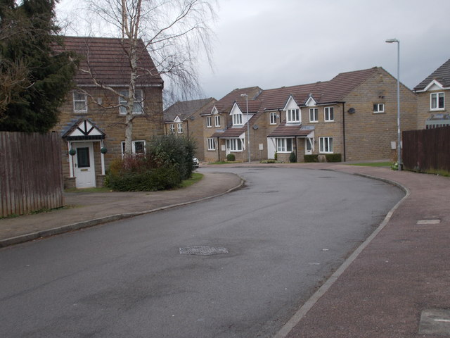
Images are sourced within 2km of 53.604199/-1.7241188 or Grid Reference SE1811. Thanks to Geograph Open Source API. All images are credited.


Boothroyd Wood is located at Grid Ref: SE1811 (Lat: 53.604199, Lng: -1.7241188)
Division: West Riding
Unitary Authority: Kirklees
Police Authority: West Yorkshire
What 3 Words
///juggled.topping.collision. Near Kirkburton, West Yorkshire
Nearby Locations
Related Wikis

Huddersfield Town F.C. Women
Huddersfield Town Women Football Club is an English women's football club based in Huddersfield, West Yorkshire. The team play their homes matches at the...
Shelley C.F.C.
Shelley Community Football Club is a football club based in Shelley, West Yorkshire, England. They are currently members of the North West Counties League...
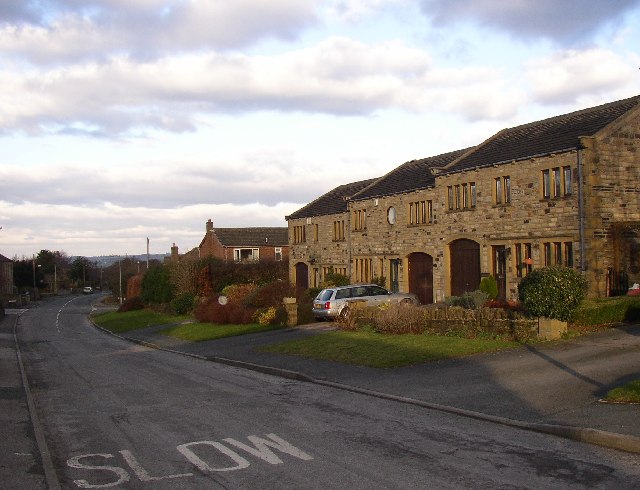
Myers Wood
Myers Wood is a wooded area in the village of Kirkburton, West Yorkshire, England. It forms part of a heavily forested area to the west of the village...
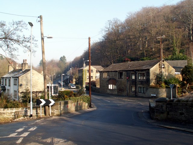
Thunder Bridge
Thunder Bridge or Thunderbridge is a hamlet and bridge in the civil parish of Kirkburton, in the Kirklees district, in the county of West Yorkshire, England...

Storthes Hall
Storthes Hall is part of the civil parish of Kirkburton in West Yorkshire, England. A heavily wooded area, it comprises a single road, Storthes Hall Lane...
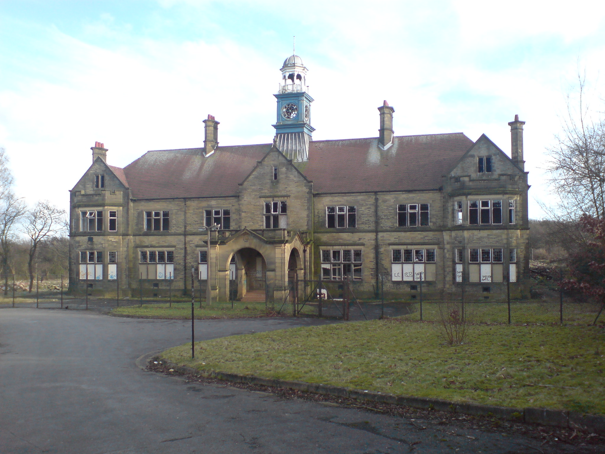
Storthes Hall Hospital
Storthes Hall Hospital was a mental health facility at Storthes Hall, Huddersfield, West Yorkshire, England. Founded in 1904, it expanded to over 3,000...

Stocksmoor railway station
Stocksmoor railway station serves the village of Stocksmoor near Huddersfield in West Yorkshire, England. The station is 6.25 miles (10 km) from Huddersfield...
Stocksmoor
Stocksmoor is a hamlet, near Huddersfield, West Yorkshire, England. It is situated between the villages of Shepley and Brockholes. The total population...
Nearby Amenities
Located within 500m of 53.604199,-1.7241188Have you been to Boothroyd Wood?
Leave your review of Boothroyd Wood below (or comments, questions and feedback).