Big Rookery Plantation

Wood, Forest in Derbyshire Derbyshire Dales

England

Big Rookery Plantation

Art and information on the wall of Friden brickworks On the wall beside the High Peak Trail, there are low reliefs of aspects of the industrial site and process of making refractory bricks. See also <a href="https://www.geograph.org.uk/photo/7636933">SK1760 : Art on the wall of Friden brickworks</a>
Art and information on the wall of Friden brickworks Credit: David Smith

Big Rookery Plantation is a large woodland area located in Derbyshire, England. Covering an extensive area of land, this plantation is known for its diverse range of trees and thriving ecosystem. It is situated in the heart of the county, providing a picturesque setting for nature enthusiasts and hikers alike.

The woodland is predominantly composed of native tree species, such as oak, beech, and birch. These trees create a dense canopy that provides shade and shelter for a variety of wildlife, including birds, mammals, and insects. The plantation is particularly renowned for its vibrant bird population, with numerous species nesting and breeding in the area.

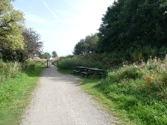
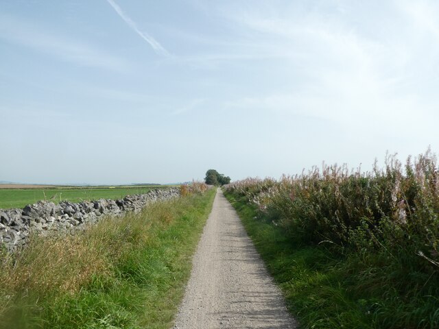
The forest floor is adorned with a rich carpet of wildflowers and ferns, adding to the plantation's natural beauty. Walking trails wind through the woodland, offering visitors the opportunity to explore the area at their own pace. The tranquil atmosphere and breathtaking scenery make it a popular spot for outdoor activities such as hiking, birdwatching, and photography.

Big Rookery Plantation is well-managed and maintained, ensuring the preservation of its natural habitat. Local conservation efforts focus on protecting the woodland's biodiversity and promoting sustainable practices. The plantation also serves as an educational resource, with guided tours and workshops available to learn about the importance of forests and their role in the ecosystem.

Overall, Big Rookery Plantation in Derbyshire is a thriving woodland that offers a haven for wildlife and a peaceful retreat for nature lovers. Its stunning landscapes, diverse flora and fauna, and commitment to conservation make it a cherished asset to the local community and a destination for visitors seeking a connection with nature.

If you have any feedback on the listing, please let us know in the comments section below.

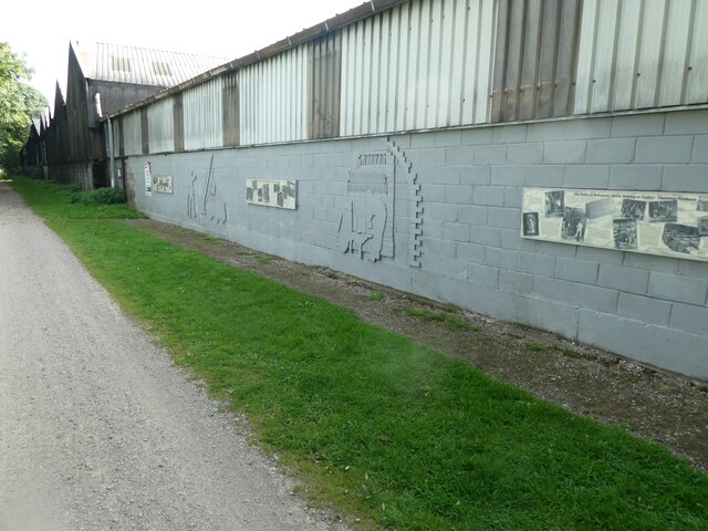
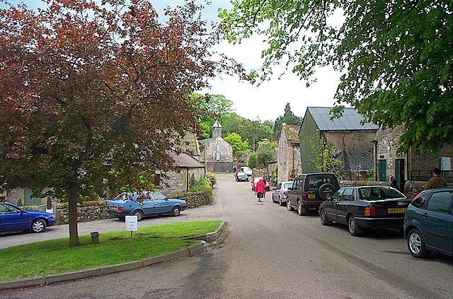
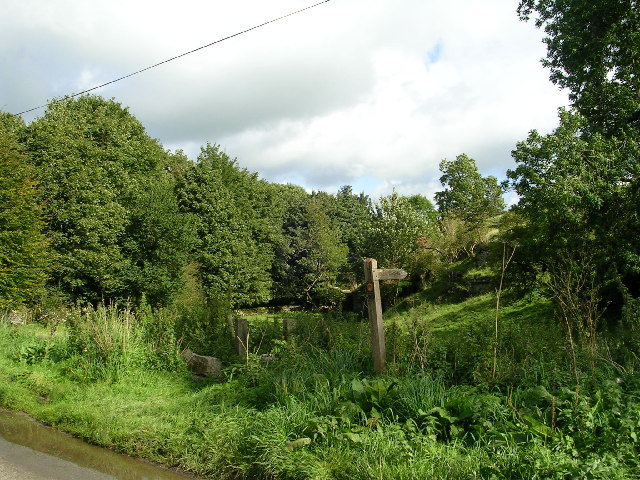
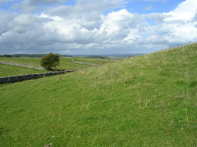
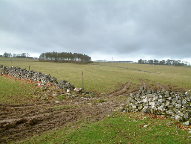
Big Rookery Plantation Images

Images are sourced within 2km of 53.157894/-1.7269259 or Grid Reference SK1862. Thanks to Geograph Open Source API. All images are credited.

Art and information on the wall of Friden brickworks On the wall beside the High Peak Trail, there are low reliefs of aspects of the industrial site and process of making refractory bricks. See also <a href="https://www.geograph.org.uk/photo/7636933">SK1760 : Art on the wall of Friden brickworks</a>
Art and information on the wall of Friden brickworks
On the wall beside the High Peak Trail, there are low reliefs of aspects of the industrial site and process of making refractory bricks. See also SK1760 : Art on the wall of Friden brickworks
Art on the wall of Friden brickworks On the wall beside the High Peak Trail, there are low reliefs of aspects of the industrial site and process of making refractory bricks. See also <a href="https://www.geograph.org.uk/photo/7636930">SK1760 : Art and information on the wall of Friden brickworks</a>
Art on the wall of Friden brickworks
On the wall beside the High Peak Trail, there are low reliefs of aspects of the industrial site and process of making refractory bricks. See also SK1760 : Art and information on the wall of Friden brickworks
A picnic area by the High Peak Trail near Friden The High Peak Trail follows the route of the Cromford and High Peak Railway which was completed in 1831 and axed as part of the Beeching cuts in the 1960s.
A picnic area by the High Peak Trail near Friden
The High Peak Trail follows the route of the Cromford and High Peak Railway which was completed in 1831 and axed as part of the Beeching cuts in the 1960s.
High Peak Trail east of Friden The High Peak Trail follows the route of the Cromford and High Peak Railway which was completed in 1831 and axed as part of the Beeching cuts in the 1960s.
High Peak Trail east of Friden
The High Peak Trail follows the route of the Cromford and High Peak Railway which was completed in 1831 and axed as part of the Beeching cuts in the 1960s.
Middleton-By-Youlgrave This is a quiet unspoilt village on an unclassified loop road near Youlgrave.
Middleton-By-Youlgrave
This is a quiet unspoilt village on an unclassified loop road near Youlgrave.
On road approaching Middleton - Derbyshire The start point of a very pleasant circular walk with three geocaches en route.
On road approaching Middleton - Derbyshire
The start point of a very pleasant circular walk with three geocaches en route.
Rising out of Long Dale - Peak District National Park
Gratton Moor - Peak District National Park Walking roughly north in the far distance is the village of Youlgreave
Gratton Moor - Peak District National Park
Walking roughly north in the far distance is the village of Youlgreave
Gratton Moor Looking NW
Gratton Moor
Looking NW
Countryside near Middleton by Youlgreave.
Remains of a limekiln. Limestone when burnt with coal or other fuel in one of these limekilns produces quicklime. This then has several uses including a soil conditioner for use on acid farmland, tanning leather and for making mortar for the building industry.
Remains of a limekiln.
Limestone when burnt with coal or other fuel in one of these limekilns produces quicklime. This then has several uses including a soil conditioner for use on acid farmland, tanning leather and for making mortar for the building industry.
Driveway to The Oldhams.
Near Middleton By Youlgreave. The picture shows Green Lane, which is unmade in many places and leads to Hand Dale, near Hartington.
Near Middleton By Youlgreave.
The picture shows Green Lane, which is unmade in many places and leads to Hand Dale, near Hartington.
Near Middleton By Youlgreave. A view looking along Rake Lane.
Near Middleton By Youlgreave.
A view looking along Rake Lane.
Kenslow Knoll This good agricultural land is cattle rearing territory.  The trees to the left are on the top of Kenslow Knoll and in the mid background is a spoil heap from a disused quarry.
Kenslow Knoll
This good agricultural land is cattle rearing territory. The trees to the left are on the top of Kenslow Knoll and in the mid background is a spoil heap from a disused quarry.
Roman Road This former Roman Road is now a muddy path through fields.  The picture shows 2 of the Middleton 'Sites of Meaning' stones which occur on every track or road entrance to the parish. The inscription on both of these stones is -'The road up and the road down are one and the same'.
Roman Road
This former Roman Road is now a muddy path through fields. The picture shows 2 of the Middleton 'Sites of Meaning' stones which occur on every track or road entrance to the parish. The inscription on both of these stones is -'The road up and the road down are one and the same'.
Milepost Site of Meaning This Site of Meaning is a signpost half way between Middleton and Newhaven. For an explanation of Sites of Meaning see other geographs in this square and around Middleton.
Milepost Site of Meaning
This Site of Meaning is a signpost half way between Middleton and Newhaven. For an explanation of Sites of Meaning see other geographs in this square and around Middleton.
Derelict Barn A typical limestone and slate barn which has seen better days.
Derelict Barn
A typical limestone and slate barn which has seen better days.
Show me another place!

Big Rookery Plantation is located at Grid Ref: SK1862 (Lat: 53.157894, Lng: -1.7269259)

Administrative County: Derbyshire

District: Derbyshire Dales

Police Authority: Derbyshire

What 3 Words

///abandons.straws.busy. Near Newhaven, Derbyshire

Related Wikis

Middleton and Smerrill

Middleton and Smerrill is a civil parish within the Derbyshire Dales district, in the county of Derbyshire, England. Largely rural except for the village...

Middleton-by-Youlgreave

Middleton, often known as Middleton-by-Youlgreave or Middleton-by-Youlgrave to distinguish it from nearby Middleton-by-Wirksworth, is a village in the...

Friden Goods Yard

Friden Goods Yard was a goods station located on the Cromford and High Peak Railway near the villages of Friden in Derbyshire. Mostly for moving mineral...

High Peak Trail

The High Peak Trail is a 17-mile (27 km) trail for walkers, cyclists and horse riders in the Peak District of England. Running from Dowlow (53.2059°N 1...

Friden, Derbyshire

Friden is a hamlet in the civil parish of Hartington Nether Quarter, Derbyshire, England. It is 11 miles (18 km) south-east of Buxton, just off the Newhaven...

Long Dale

Long Dale is a carboniferous limestone valley near the village of Elton, Derbyshire, in the Peak District of England. The dale is cut into the plateau...

Gratton, Derbyshire

Gratton is a civil parish in the Derbyshire Dales district of central Derbyshire, half a mile west of the neighbouring village, Elton. == See also... ==

Arbor Low

Arbor Low is a well-preserved Neolithic henge in the Derbyshire Peak District, England. It lies on a Carboniferous Limestone plateau known as the White...

Nearby Amenities

Located within 500m of 53.157894,-1.7269259
Barrier: cattle_grid
Lat/Long: 53.1570605/-1.7245781
Barrier: cattle_grid
Lat/Long: 53.1572163/-1.7243707
Barrier: cattle_grid
Lat/Long: 53.1566364/-1.7222405
Barrier: stile
Steps: 3
Stile: wall
Lat/Long: 53.1566578/-1.7222194
Barrier: stile
Steps: 1
Stile: stepover
Lat/Long: 53.1571793/-1.7243557
Power: pole
Lat/Long: 53.1562013/-1.7232376
Power: pole
Lat/Long: 53.154994/-1.7218147
Power: pole
Lat/Long: 53.1556133/-1.722543
Power: pole
Lat/Long: 53.1568149/-1.7240018
Power: pole
Lat/Long: 53.157435/-1.724737
Power: pole
Lat/Long: 53.1579366/-1.7253294
Power: pole
Lat/Long: 53.1584195/-1.7259322
Power: pole
Lat/Long: 53.1589217/-1.7265572
Power: pole
Lat/Long: 53.1595032/-1.7271522
Power: pole
Lat/Long: 53.1600989/-1.727766
Power: pole
Lat/Long: 53.160619/-1.7283712
Power: pole
Lat/Long: 53.161212/-1.7290012
Power: pole
Lat/Long: 53.16181/-1.7296494
The data included in this document is from www.openstreetmap.org. The data is made available under ODbL.

Have you been to Big Rookery Plantation?

Leave your review of Big Rookery Plantation below (or comments, questions and feedback).