Laycock Wood
Wood, Forest in Yorkshire
England
Laycock Wood
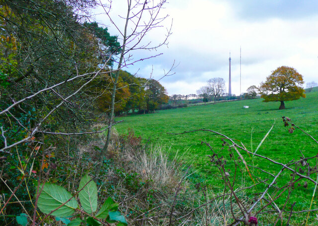
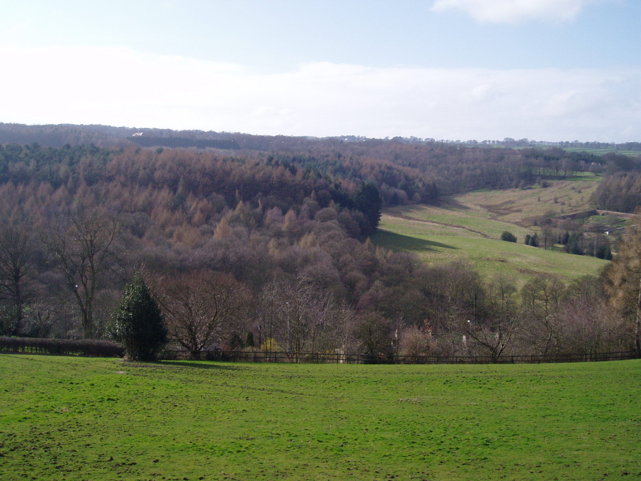
Laycock Wood is a picturesque forest located in Yorkshire, England. It covers an area of approximately 100 acres and is known for its natural beauty and diverse wildlife. The wood is situated near the village of Laycock and is easily accessible by foot or car.
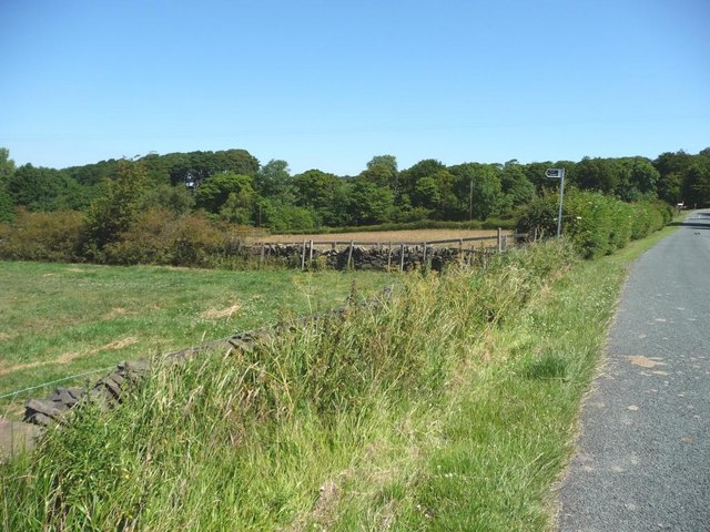
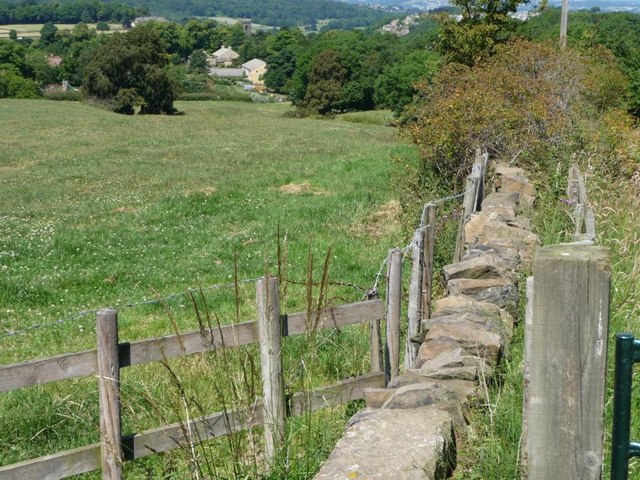
The forest is characterized by its dense vegetation, comprising mainly of broadleaf trees such as oak, beech, and ash. These towering trees provide a canopy that filters sunlight, creating a serene and peaceful atmosphere within the woodland. In spring, the forest floor is carpeted with colorful wildflowers, adding to the charm of the surroundings.
Laycock Wood is home to a variety of wildlife, making it a haven for nature enthusiasts and birdwatchers. Visitors may spot native bird species, including woodpeckers, owls, and thrushes, as well as small mammals like rabbits, squirrels, and hedgehogs. The forest also supports a diverse insect population, attracting butterflies and bees.
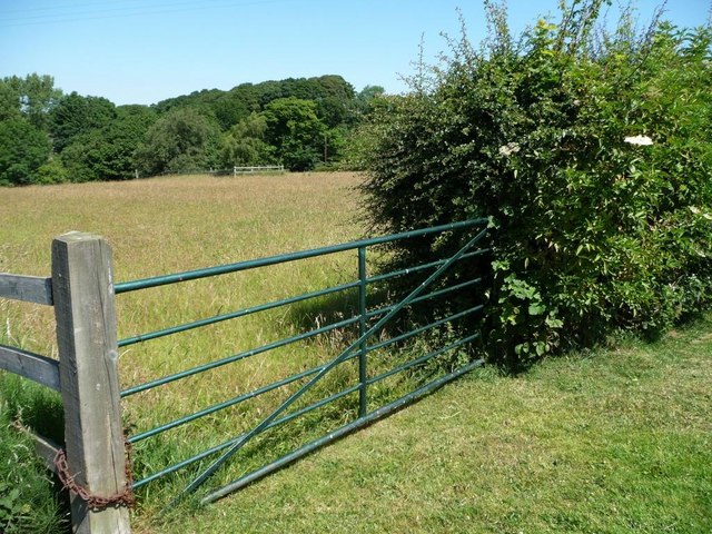
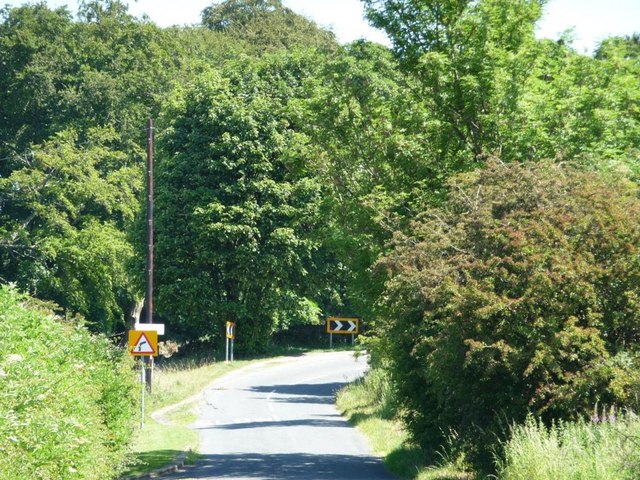
The wood offers several well-marked trails and footpaths, allowing visitors to explore its beauty at their own pace. Along these trails, there are benches strategically placed for those who wish to rest and admire the scenery. The forest is also equipped with picnic areas and facilities, making it an ideal spot for a day trip or a family outing.
Laycock Wood is not only a natural gem but also holds historical significance. It is located near the ruins of Laycock Abbey, a medieval monastery that dates back to the 12th century. Visitors can combine a visit to the wood with a tour of the abbey, immersing themselves in both natural and cultural heritage.
Overall, Laycock Wood in Yorkshire offers a tranquil escape into nature, providing a delightful experience for those seeking solace or adventure amidst the breathtaking landscapes of the English countryside.
If you have any feedback on the listing, please let us know in the comments section below.
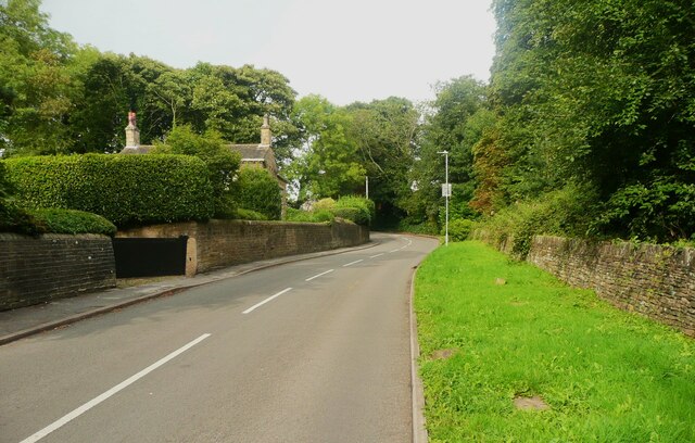
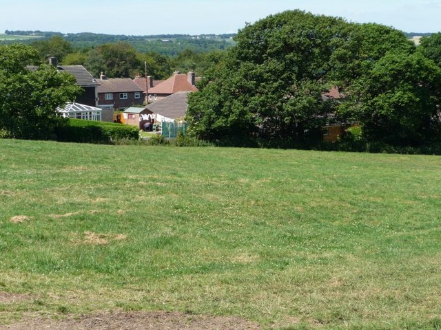
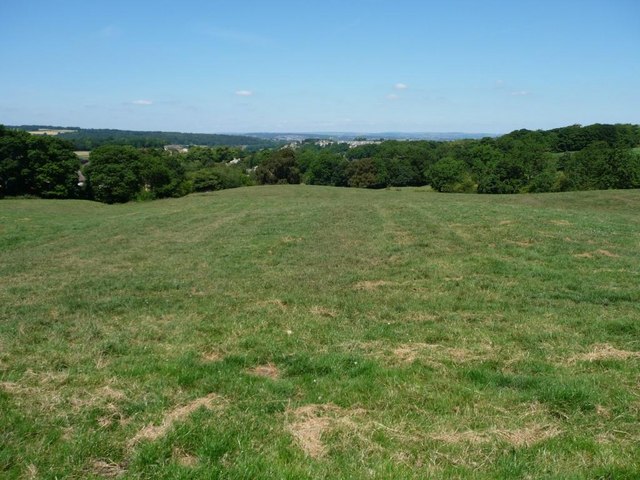
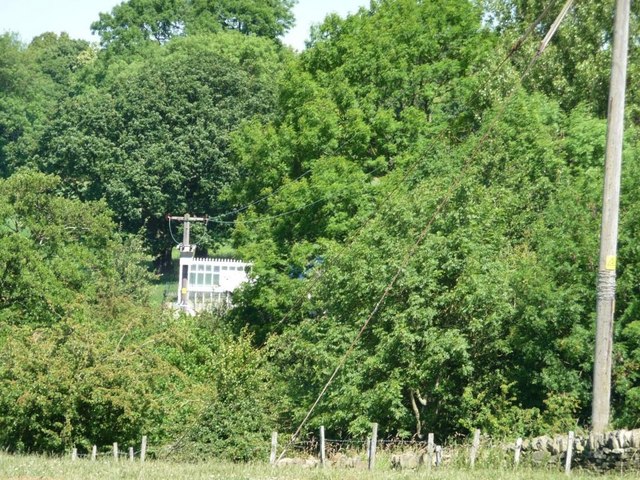
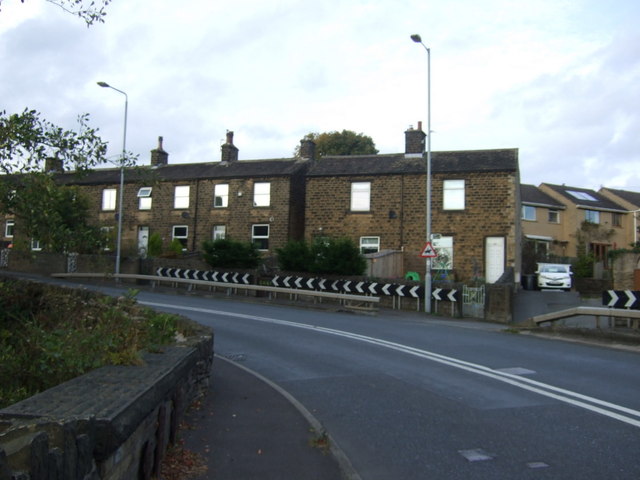
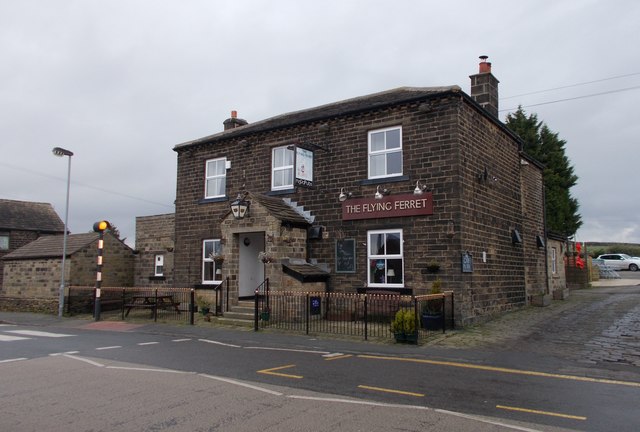
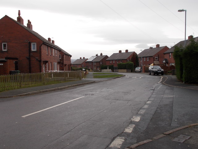
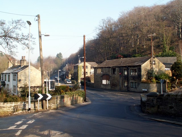
Laycock Wood Images
Images are sourced within 2km of 53.603414/-1.718608 or Grid Reference SE1811. Thanks to Geograph Open Source API. All images are credited.


Laycock Wood is located at Grid Ref: SE1811 (Lat: 53.603414, Lng: -1.718608)
Division: West Riding
Unitary Authority: Kirklees
Police Authority: West Yorkshire
What 3 Words
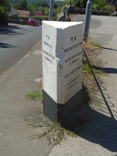
///denim.imperious.paraded. Near Kirkburton, West Yorkshire
Nearby Locations
Related Wikis

Huddersfield Town F.C. Women
Huddersfield Town Women Football Club is an English women's football club based in Huddersfield, West Yorkshire. The team play their homes matches at the...
Shelley C.F.C.
Shelley Community Football Club is a football club based in Shelley, West Yorkshire, England. They are currently members of the North West Counties League...
Thunder Bridge
Thunder Bridge or Thunderbridge is a hamlet and bridge in the civil parish of Kirkburton, in the Kirklees district, in the county of West Yorkshire, England...
Myers Wood
Myers Wood is a wooded area in the village of Kirkburton, West Yorkshire, England. It forms part of a heavily forested area to the west of the village...

Stocksmoor railway station
Stocksmoor railway station serves the village of Stocksmoor near Huddersfield in West Yorkshire, England. The station is 6.25 miles (10 km) from Huddersfield...

Storthes Hall
Storthes Hall is part of the civil parish of Kirkburton in West Yorkshire, England. A heavily wooded area, it comprises a single road, Storthes Hall Lane...
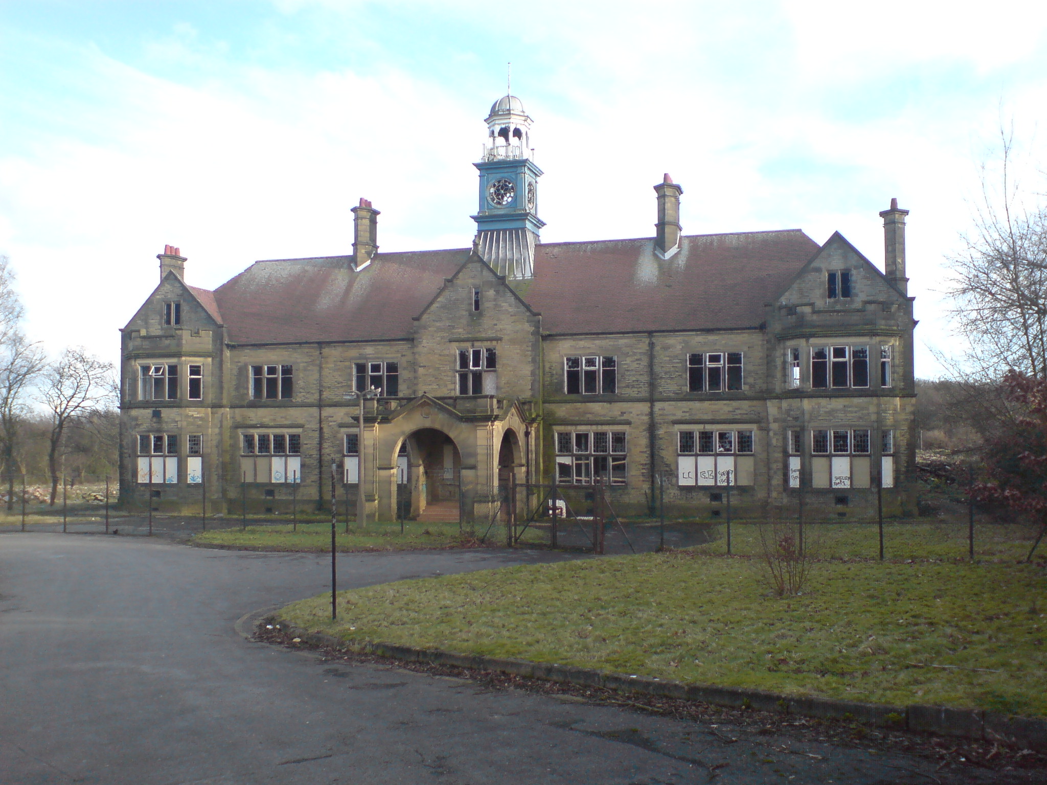
Storthes Hall Hospital
Storthes Hall Hospital was a mental health facility at Storthes Hall, Huddersfield, West Yorkshire, England. Founded in 1904, it expanded to over 3,000...
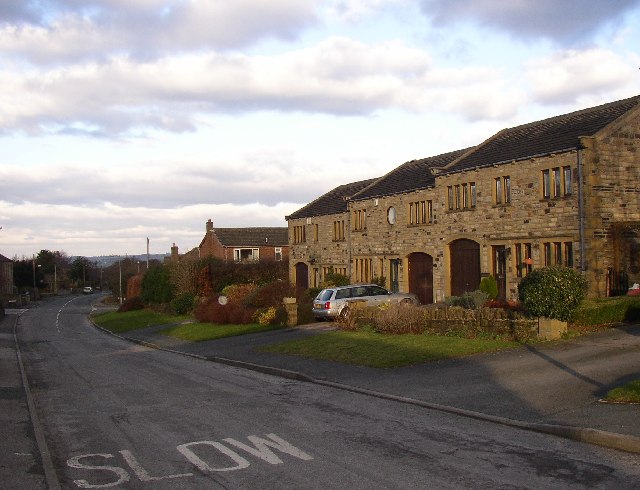
Stocksmoor
Stocksmoor is a hamlet, near Huddersfield, West Yorkshire, England. It is situated between the villages of Shepley and Brockholes. The total population...
Nearby Amenities
Located within 500m of 53.603414,-1.718608Have you been to Laycock Wood?
Leave your review of Laycock Wood below (or comments, questions and feedback).