Plainfield Plantation
Wood, Forest in Northumberland
England
Plainfield Plantation
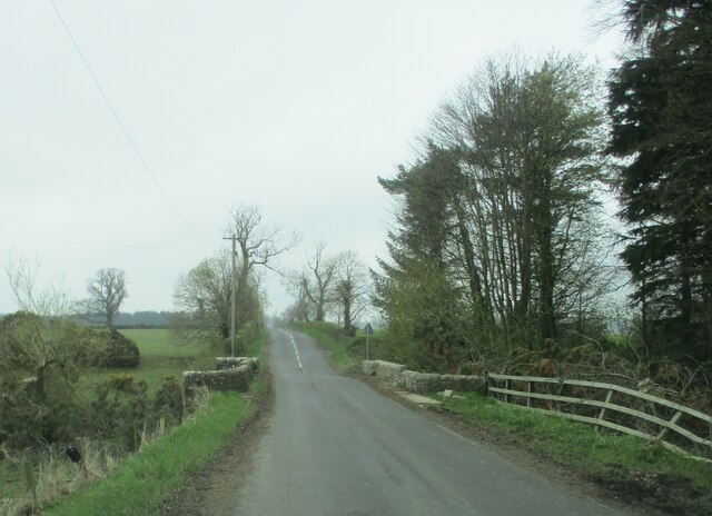
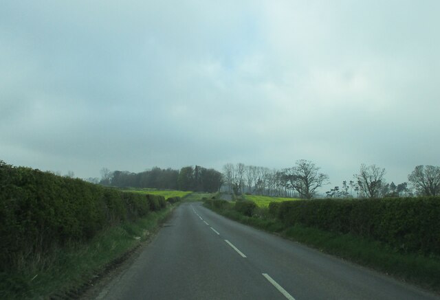
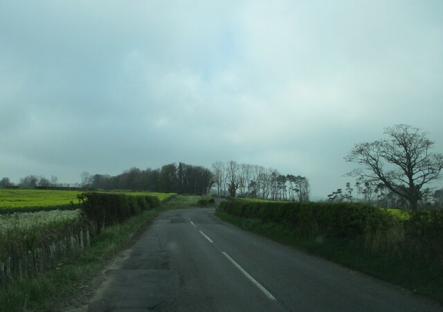
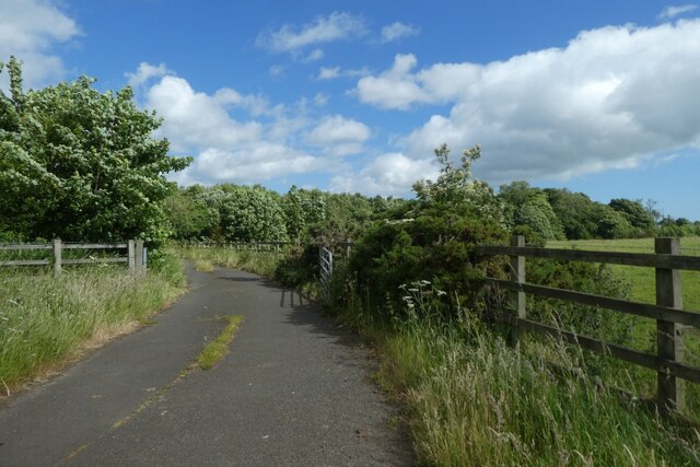
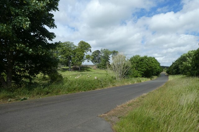
Plainfield Plantation, located in Northumberland County, is a historic and picturesque woodland area known for its abundant natural beauty and lush forests. This idyllic plantation is situated amidst the rolling hills and serene landscapes of the region, offering a tranquil retreat for nature enthusiasts and history buffs alike.
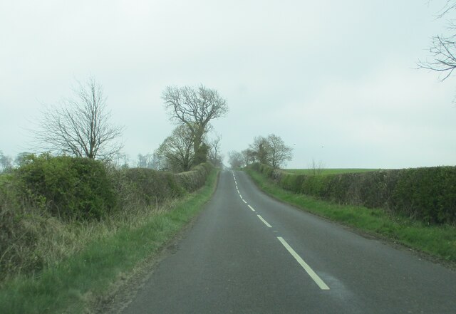
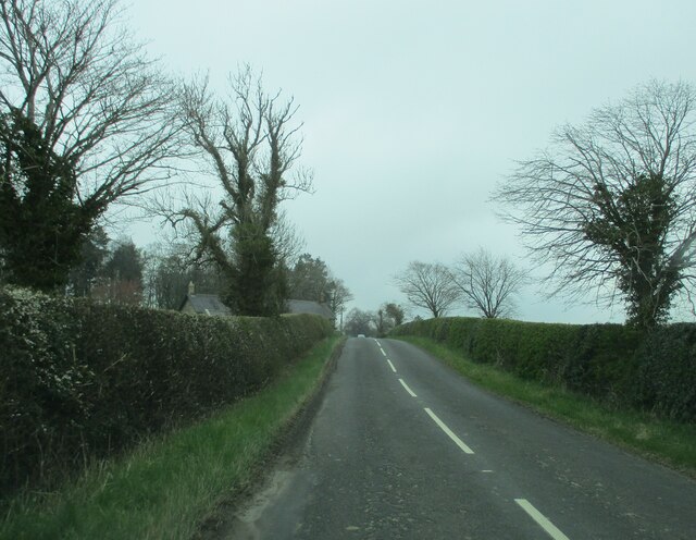
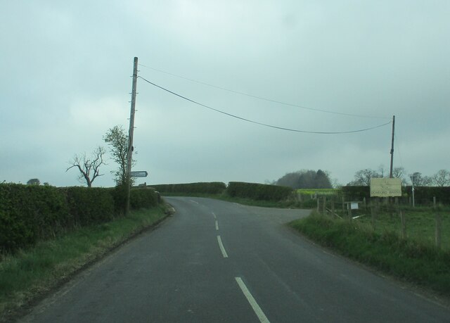
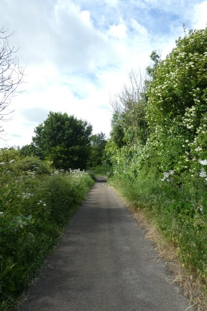
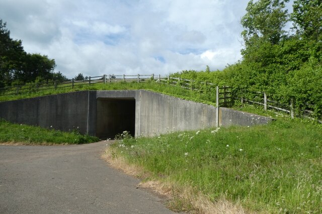
Covering a vast area of wood and forest, Plainfield Plantation boasts a diverse ecosystem that is home to a wide variety of flora and fauna. Towering trees, including oak, maple, and pine, dominate the landscape, creating a dense and verdant canopy that provides shade and shelter for numerous animal species. The plantation also features vibrant wildflower meadows, enchanting streams, and peaceful ponds, adding to its overall allure.
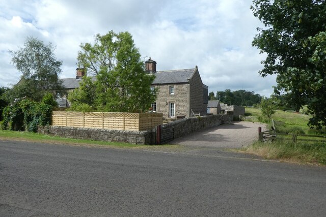
The history of Plainfield Plantation dates back to the colonial era, when it served as a thriving agricultural estate. The original plantation house, though now in ruins, still stands as a testament to its past glory. Visitors can explore the remnants of this grand structure, gaining insight into the area's rich history and the lives of its former inhabitants.
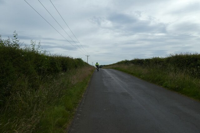
Today, Plainfield Plantation offers a range of recreational activities for visitors to enjoy. Hiking and nature trails wind through the plantation, inviting visitors to immerse themselves in the natural splendor and observe the diverse wildlife. The plantation also provides opportunities for birdwatching, photography, and picnicking, making it an ideal destination for outdoor enthusiasts.
Whether one seeks solace in nature or desires to delve into the historical roots of the region, Plainfield Plantation offers a captivating experience that showcases the beauty and heritage of Northumberland County.
If you have any feedback on the listing, please let us know in the comments section below.
Plainfield Plantation Images
Images are sourced within 2km of 55.500068/-1.7053022 or Grid Reference NU1822. Thanks to Geograph Open Source API. All images are credited.

Plainfield Plantation is located at Grid Ref: NU1822 (Lat: 55.500068, Lng: -1.7053022)
Unitary Authority: Northumberland
Police Authority: Northumbria
What 3 Words
///inhaled.barbarian.daisy. Near Ellingham, Northumberland
Nearby Locations
Related Wikis
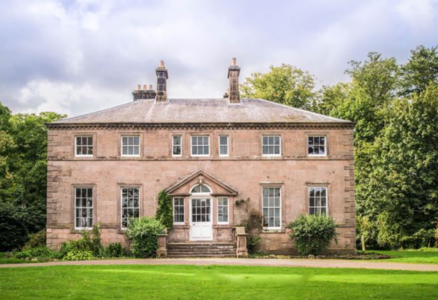
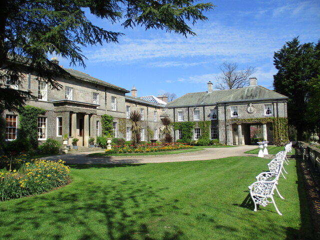
Charlton Hall, Northumberland
Charlton Hall near Ellingham, Northumberland is a building of historical significance and is listed Grade II* on the English Heritage Register. It was...

Fallodon
Fallodon is a hamlet and former civil parish, now in the parish of Newton-by-the-Sea, in the county of Northumberland, England. It is the territorial designation...

North Charlton
North Charlton is a hamlet and former civil parish, now in the parish of Eglingham, in Northumberland, England. It is situated between Alnwick and Berwick...

Fallodon railway station
Fallodon railway station was a private railway station built for Sir George Grey at Fallodon Hall, Northumberland, England from 1847 to 1934 on the East...
Brunton, Northumberland
Brunton is a village and former civil parish, now in the parish of Newton-by-the-Sea, in the county of Northumberland, England. It is about 7 miles (11...

Preston Tower, Northumberland
Preston Tower is a fourteenth-century pele tower in Preston, Northumberland, England built in 1392. The tower is now a private museum. == References... ==
Brownieside
Brownieside is a hamlet in Northumberland, in England. It is situated between Alnwick and Berwick-upon-Tweed, on the A1 a short distance to the north of...

Christon Bank railway station
Christon Bank railway station served the village of Christon Bank, Northumberland, England from 1847 to 1965 on the East Coast Main Line. == History... ==
Nearby Amenities
Located within 500m of 55.500068,-1.7053022Have you been to Plainfield Plantation?
Leave your review of Plainfield Plantation below (or comments, questions and feedback).