Batmans Hill
Settlement in Staffordshire
England
Batmans Hill
Batman's Hill is a small, picturesque village located in the county of Staffordshire, England. Situated in the heart of the beautiful countryside, it offers a serene and tranquil environment for its residents. The village is known for its rich history, charming architecture, and stunning natural surroundings.
The name "Batman's Hill" is thought to have originated from a local legend, which tells the tale of a mysterious figure who once lived on the hill and protected the village from harm. While the origins of the legend remain unclear, it has become an integral part of the village's identity.
The architecture in Batman's Hill is a blend of old-world charm and modern convenience. The village is characterized by its quaint cottages, traditional brick houses, and well-preserved historic buildings. The local church, St. Mary's, is a stunning example of medieval architecture, with its intricate stained glass windows and towering spire.
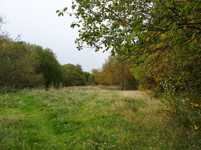
Surrounded by rolling hills and lush green fields, Batman's Hill offers an idyllic setting for outdoor enthusiasts. The village is crisscrossed with scenic walking trails, making it an ideal destination for hikers and nature lovers. The nearby Bateman's Forest provides ample opportunities for birdwatching and wildlife spotting.
Despite its rural location, Batman's Hill is well-connected to the neighboring towns and cities. It has a close-knit community, with a range of amenities including a village hall, a primary school, and a local pub that serves as a social hub for residents.
In summary, Batman's Hill is a charming village in Staffordshire, known for its history, architecture, and natural beauty. It offers a peaceful and close-knit community for those seeking a retreat from the hustle and bustle of urban life.
If you have any feedback on the listing, please let us know in the comments section below.
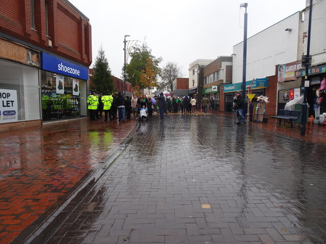
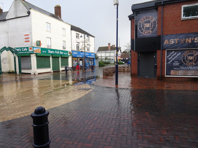
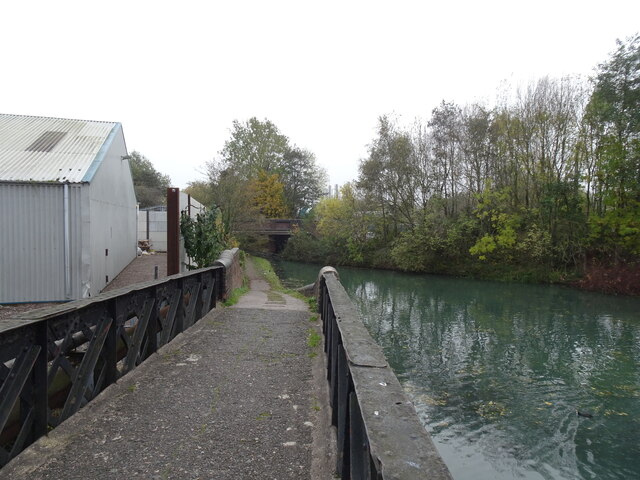
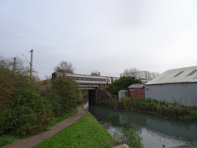
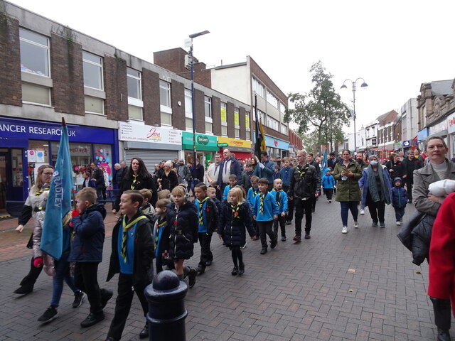
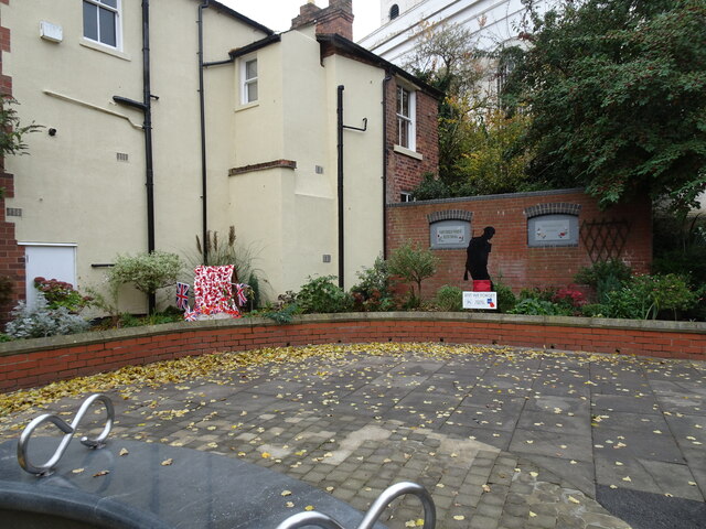
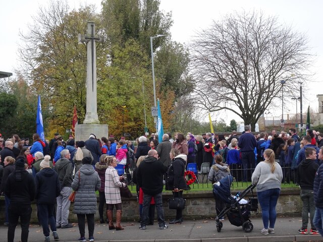
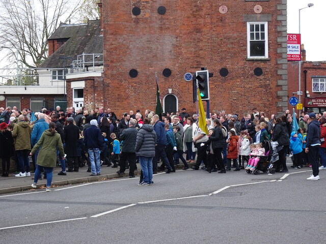
Batmans Hill Images
Images are sourced within 2km of 52.549579/-2.064695 or Grid Reference SO9594. Thanks to Geograph Open Source API. All images are credited.


Batmans Hill is located at Grid Ref: SO9594 (Lat: 52.549579, Lng: -2.064695)
Unitary Authority: Wolverhampton
Police Authority: West Midlands
What 3 Words
///pays.hurls.weds. Near Bilston, West Midlands
Nearby Locations
Related Wikis

Wednesbury Oak Loop
The Wednesbury Oak Loop, sometimes known as the Bradley Arm, is a canal in the West Midlands, England. It is part of the Birmingham Canal Navigations...

Princes End
Princes End is an area of Tipton, West Midlands, England, near the border with Coseley (of which approximately half of the area was part of until 1966...

Bradley, West Midlands
Bradley ( BRAYD-lee) is a suburban village in the City of Wolverhampton, West Midlands County, England. It is located in the Bilston East ward. ��2�...

Daisy Bank railway station
Daisy Bank railway station was a station built by the Oxford, Worcester and Wolverhampton Railway in 1854 as Daisy Bank & Bradley station. It was situated...

Bradley and Moxley railway station
Bradley and Moxley railway station was a station on the Great Western Railway's London Paddington to Birkenhead via Birmingham Snow Hill line. It was opened...

Bustleholme F.C.
Bustleholme Football Club is a football club based in West Bromwich, West Midlands, England. They are currently members of the West Midlands (Regional...

Bradley Lane tram stop
Bradley Lane tram stop is a tram stop in Bradley, Wolverhampton, England. It was opened on 31 May 1999 and is situated on West Midlands Metro Line 1. It...
Princes End railway station
Princes End railway station served the area of Princes End, West Midlands, from 1864 to 1916 on the Princes End branch line. == History == The station...
Related Videos
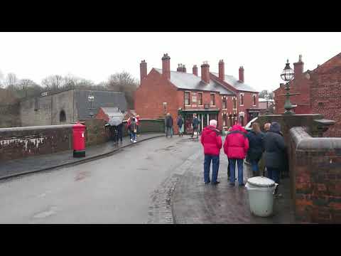
Walking Into The Village At The Black Country Living Museum
Walking into the village area at The Black Country Living Museum, Dudley, West Midlands.


Walking The Birmingham Mainline Canal (Part 3)
Continuing with my walk along the towpath of the Birmingham Main Line Canal. Starting where I finished in part 2, at Deepfields ...

Walking The Bradley Arm Canal
A walk along the full length of the Bradley Arm Canal from Deepfields Junction where the canal meets the Birmingham Main Line ...
Nearby Amenities
Located within 500m of 52.549579,-2.064695Have you been to Batmans Hill?
Leave your review of Batmans Hill below (or comments, questions and feedback).