Batley Carr
Settlement in Yorkshire
England
Batley Carr

Batley Carr is a small suburban area located in the Kirklees district of West Yorkshire, England. Situated approximately two miles south of the town of Batley, it is part of the larger Batley urban area. The settlement is positioned on the eastern outskirts of the Leeds City Region, and is surrounded by the picturesque countryside of the Yorkshire Dales.
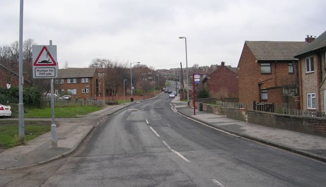
Batley Carr is primarily a residential area, with a mix of terraced and semi-detached houses. The community has a diverse population, with a range of different ethnicities and cultures represented. The area is well-connected, with good transport links to nearby towns and cities, including Leeds, Huddersfield, and Bradford.
In terms of amenities, Batley Carr has a few local shops, including convenience stores and small businesses. There are also several schools in the area, providing educational facilities for the local community. In addition, there are a number of parks and green spaces, offering residents opportunities for outdoor recreation and leisure activities.
Historically, Batley Carr was known for its coal mining industry, which played a significant role in the local economy. However, like many other mining communities in the region, the industry has gradually declined over the years.
Overall, Batley Carr is a quiet and friendly neighborhood, providing a peaceful suburban environment for its residents. Its convenient location, community spirit, and access to nearby amenities make it an attractive place to live in the heart of Yorkshire.
If you have any feedback on the listing, please let us know in the comments section below.
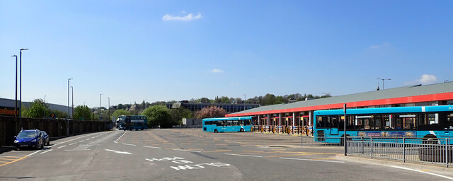
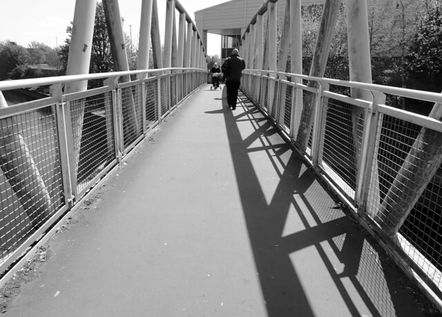
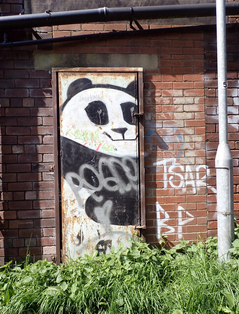
Batley Carr Images
Images are sourced within 2km of 53.701977/-1.636426 or Grid Reference SE2422. Thanks to Geograph Open Source API. All images are credited.


Batley Carr is located at Grid Ref: SE2422 (Lat: 53.701977, Lng: -1.636426)
Division: West Riding
Unitary Authority: Kirklees
Police Authority: West Yorkshire
What 3 Words
///exam.rots.mutual. Near Batley, West Yorkshire
Nearby Locations
Related Wikis
Batley Carr
Batley Carr is a district which includes parts of Dewsbury and Batley in West Yorkshire, England.Batley Carr housed workers from the mills of Dewsbury...
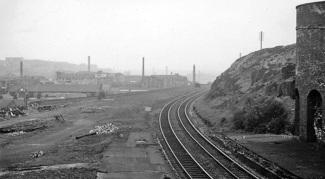
Batley Carr railway station
Batley Carr was a Great Northern Railway station serving Batley Carr, Yorkshire. It had two side platforms, with the facilities on the northbound platform...
Staincliffe and Batley Carr railway station
Staincliffe and Batley Carr railway station served the hamlet of Staincliffe and the district of Batley Carr in West Yorkshire, England from 1878 to 1952...
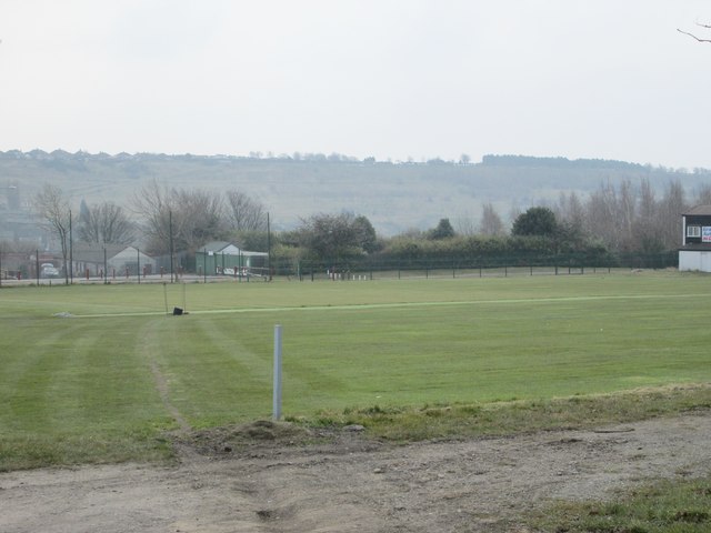
Mount Pleasant (cricket ground)
Mount Pleasant is a cricket ground in Batley, West Yorkshire. The first recorded match on the ground was in 1869, when Batley played Burnley. The ground...
Nearby Amenities
Located within 500m of 53.701977,-1.636426Have you been to Batley Carr?
Leave your review of Batley Carr below (or comments, questions and feedback).