Bakie
Beach in Orkney
Scotland
Bakie
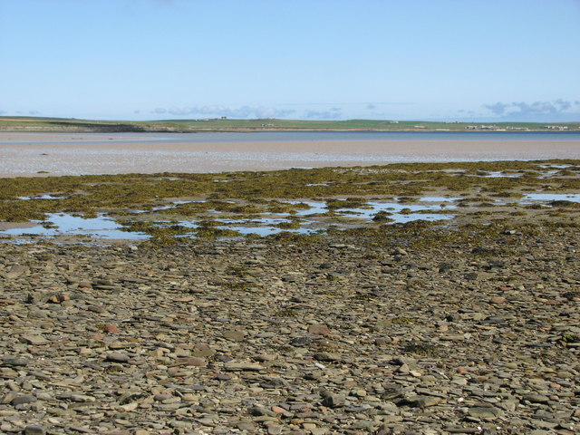
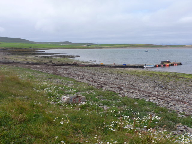
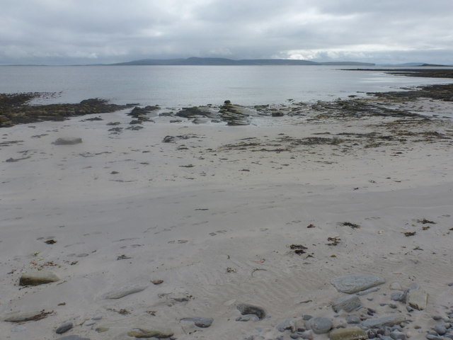
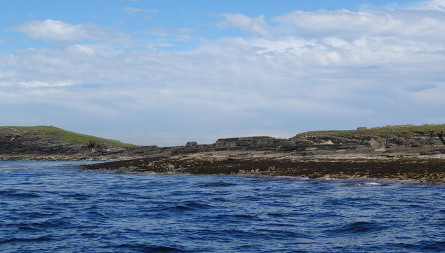
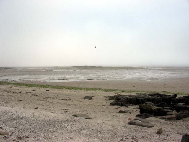
Bakie Beach is a picturesque stretch of shoreline located in the Orkney Islands, Scotland. Situated on the northeastern coast of Mainland Orkney, Bakie Beach is known for its pristine beauty and unspoiled natural surroundings.
The beach is characterized by its soft golden sand and crystal-clear turquoise waters, which make it a popular destination for locals and tourists alike. It offers stunning panoramic views of the North Sea and the surrounding rugged cliffs, creating a breathtaking backdrop for visitors to enjoy.
Bakie Beach is also renowned for its diverse wildlife and rich marine ecosystem. The area is home to a variety of seabirds, including puffins, guillemots, and fulmars, which nest along the nearby cliffs. Visitors can often spot seals basking on the rocks, and if lucky, may catch a glimpse of dolphins or even orcas swimming offshore.
The beach is easily accessible, with a car park located just a short distance away. There are also public facilities nearby, including toilets and picnic areas, making it a convenient spot for families and day-trippers.
In addition to its natural beauty, Bakie Beach holds historical significance as well. It is located near the site of the Neolithic village of Skara Brae, a UNESCO World Heritage Site known for its well-preserved ancient dwellings. Visitors can explore this fascinating archaeological site and learn about Orkney's rich prehistoric past.
Overall, Bakie Beach offers a tranquil and scenic escape, where visitors can immerse themselves in the beauty of nature and discover the wonders of Orkney's diverse ecosystem and captivating history.
If you have any feedback on the listing, please let us know in the comments section below.
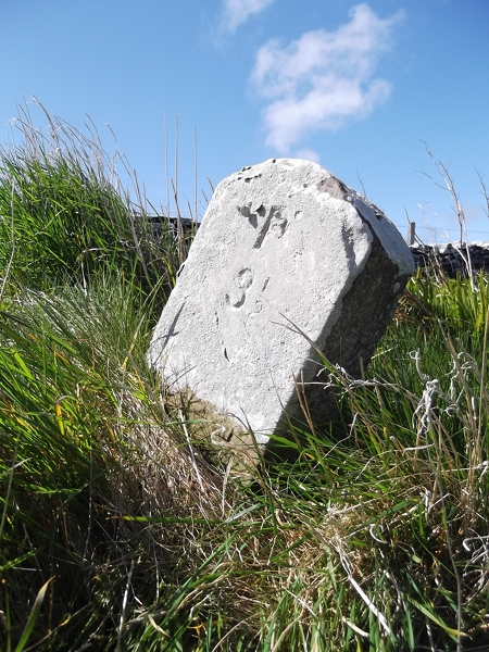
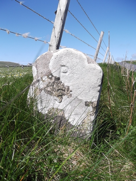
Bakie Images
Images are sourced within 2km of 59.270755/-2.9636997 or Grid Reference HY4543. Thanks to Geograph Open Source API. All images are credited.


Bakie is located at Grid Ref: HY4543 (Lat: 59.270755, Lng: -2.9636997)
Unitary Authority: Orkney Islands
Police Authority: Highlands and Islands
What 3 Words
///pegged.unite.awake. Near Pierowall, Orkney Islands
Nearby Locations
Related Wikis

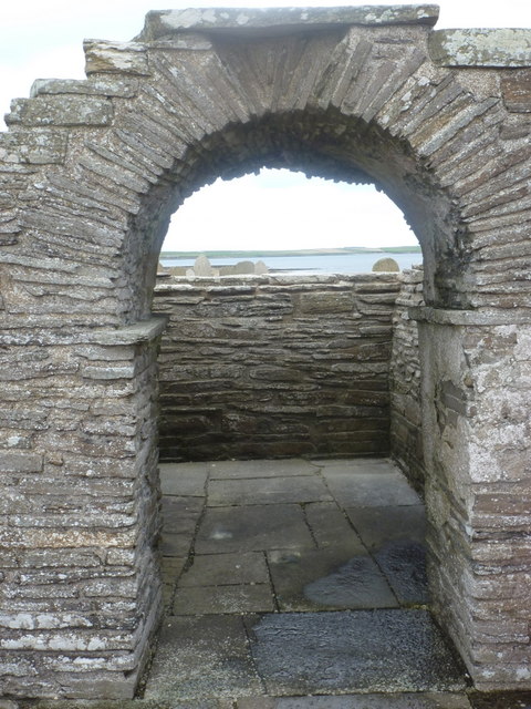
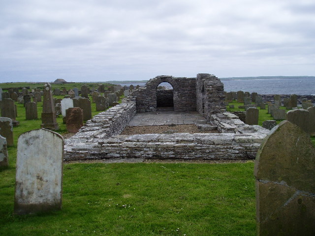
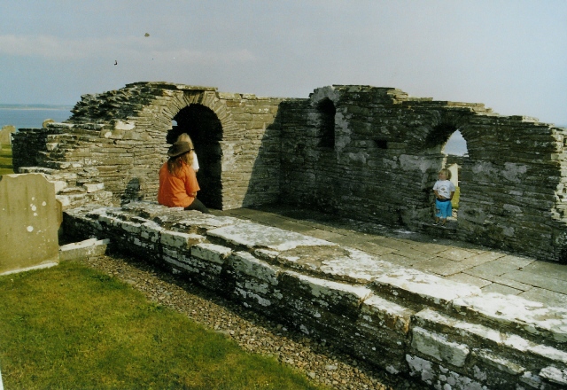
Westside Church
Westside Church, (also known as Cross Kirk), is a ruined 12th century church located on the island of Westray in Orkney, Scotland. Archaeological excavations...

Westray
Westray (, Scots: Westree) is one of the Orkney Islands in Scotland, with a usual resident population of just under 600 people. Its main village is Pierowall...

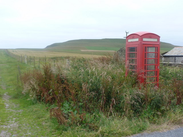
Pierowall
Pierowall is a village of Westray in the Orkney Islands, off the coast of the northern Scottish mainland. The village is the island's largest settlement...

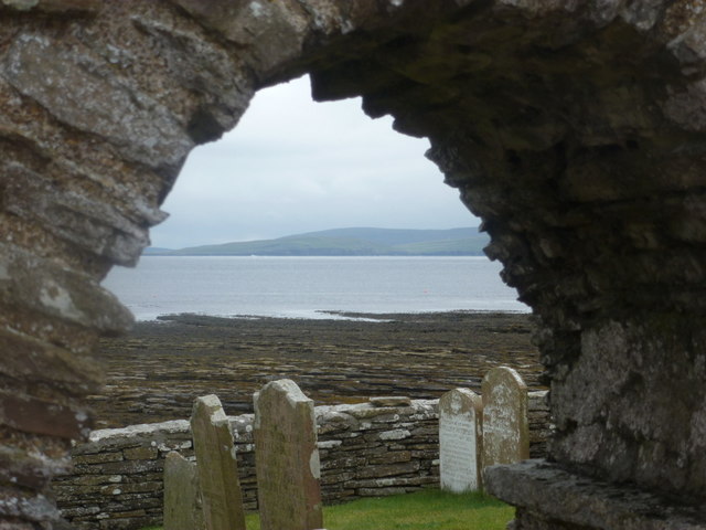
Lady Kirk
The Lady Kirk (or St Mary's Kirk) at Pierowall is a ruined 17th-century church on the island of Westray, in Orkney, Scotland. The church was built in 1674...
Nearby Amenities
Located within 500m of 59.270755,-2.9636997Have you been to Bakie?
Leave your review of Bakie below (or comments, questions and feedback).