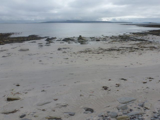
Whale Sand
Beach in Orkney
Scotland
Whale Sand
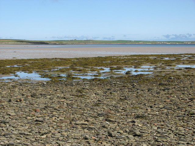
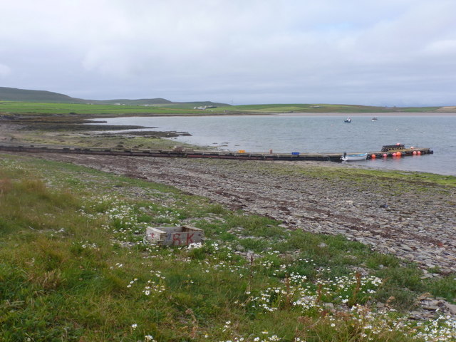
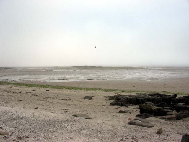
Whale Sand is a stunning beach located on the island of Sanday in the Orkney archipelago, north of mainland Scotland. Stretching over 3 miles, this beautiful sandy beach offers visitors a picturesque and tranquil setting to enjoy the natural wonders of the area.
The beach is named after the numerous whale skeletons that have washed ashore over the years, adding an intriguing element to its already captivating allure. Although these whale remains have long since decayed, their presence is a testament to the rich marine life found in the surrounding waters.
Whale Sand boasts pristine white sands that are soft to the touch, making it an ideal spot for sunbathing, picnicking, or simply taking a leisurely stroll along the shore. The clear turquoise waters are perfect for swimming, although caution is advised due to the unpredictable nature of the North Sea.
Visitors to Whale Sand can also explore the fascinating rock formations and caves that dot the coastline, providing opportunities for exploration and discovery. The beach is also a haven for wildlife enthusiasts, as it is home to a variety of seabirds, including puffins, guillemots, and fulmars.
The remote location of Whale Sand ensures that it remains relatively uncrowded, allowing visitors to enjoy a peaceful and unspoiled experience. With its breathtaking natural beauty and unique history, Whale Sand is a must-visit destination for nature lovers and those seeking a tranquil escape in the Orkney Islands.
If you have any feedback on the listing, please let us know in the comments section below.
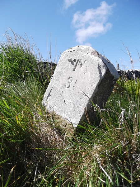
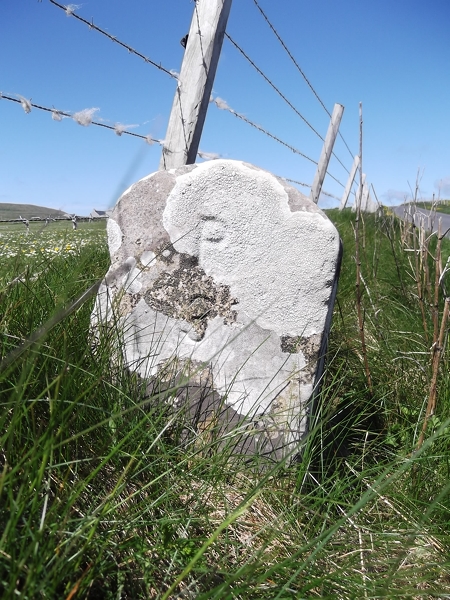
Whale Sand Images
Images are sourced within 2km of 59.271666/-2.9546723 or Grid Reference HY4543. Thanks to Geograph Open Source API. All images are credited.


Whale Sand is located at Grid Ref: HY4543 (Lat: 59.271666, Lng: -2.9546723)
Unitary Authority: Orkney Islands
Police Authority: Highlands and Islands
What 3 Words
///lateral.escapes.texts. Near Pierowall, Orkney Islands
Nearby Locations
Related Wikis

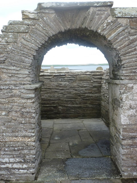
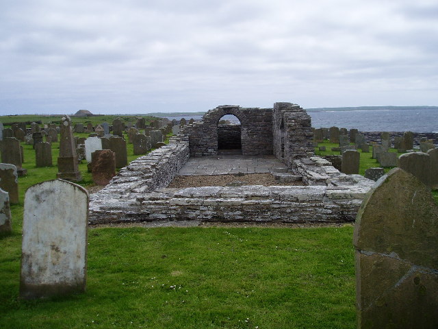
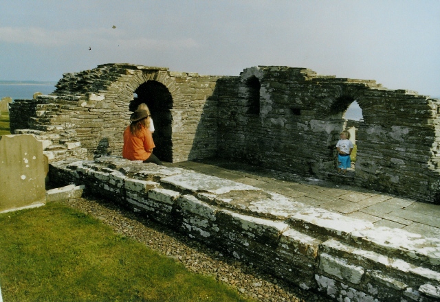
Westside Church
Westside Church, (also known as Cross Kirk), is a ruined 12th century church located on the island of Westray in Orkney, Scotland. Archaeological excavations...

Westray
Westray (, Scots: Westree) is one of the Orkney Islands in Scotland, with a usual resident population of just under 600 people. Its main village is Pierowall...

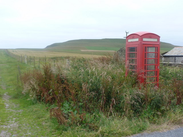
Pierowall
Pierowall is a village of Westray in the Orkney Islands, off the coast of the northern Scottish mainland. The village is the island's largest settlement...

Rapness
Rapness is a settlement on the island of Westray in Orkney, Scotland. The slipway is the ferry terminal for the Orkney Ferries crossing from Kirkwall on...

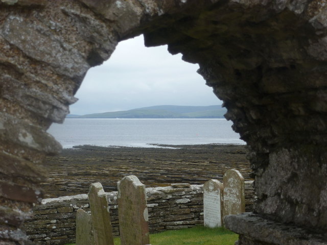
Lady Kirk
The Lady Kirk (or St Mary's Kirk) at Pierowall is a ruined 17th-century church on the island of Westray, in Orkney, Scotland. The church was built in 1674...

Noltland Castle
Noltland Castle is located near Pierowall on the island of Westray in the Orkney Islands of Scotland. It dates mainly to the later 16th century, although...

Links of Noltland
Links of Noltland is a large prehistoric settlement located on the north coast of the island of Westray in Orkney, Scotland. The extensive ruins includes...

Quoygrew settlement, Westray
Quoygrew, Westray is the site of a medieval Norse settlement on the island of Westray in Orkney, Scotland. Established as a small farmstead most likely...
Nearby Amenities
Located within 500m of 59.271666,-2.9546723Have you been to Whale Sand?
Leave your review of Whale Sand below (or comments, questions and feedback).