Ness of Tuquoy
Coastal Feature, Headland, Point in Orkney
Scotland
Ness of Tuquoy
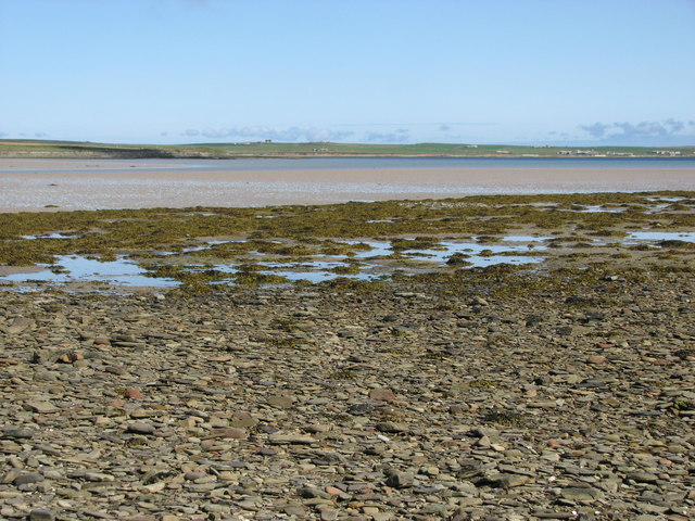
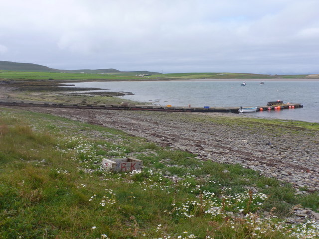
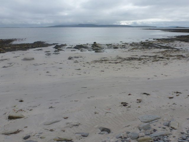
Ness of Tuquoy is a prominent coastal feature located on the mainland of Orkney, a group of islands in northern Scotland. Situated on the eastern coast of the Mainland, Ness of Tuquoy is a headland that juts out into the North Sea, forming a distinct point along the coastline.
This geographical feature is characterized by its rugged cliffs, which rise dramatically from the sea to a height of approximately 30 meters (98 feet). The cliffs are composed of sandstone and are often battered by the relentless waves and strong winds that characterize the region. The area is rich in birdlife, with various seabirds, such as fulmars and kittiwakes, nesting among the cliffs.
Ness of Tuquoy offers breathtaking views of the surrounding coastal landscape, including the nearby island of Copinsay and the turbulent waters of the North Sea. The headland is a popular spot for nature enthusiasts, hikers, and photographers who are drawn to its natural beauty and the opportunity to observe wildlife in its natural habitat.
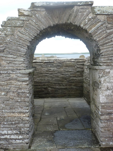
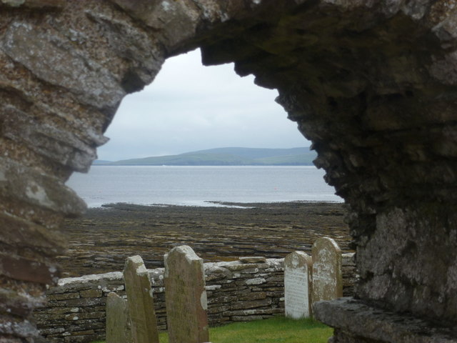
In addition to its natural attractions, Ness of Tuquoy also holds historical significance. The nearby Brough of Deerness, an ancient Pictish and Norse settlement, provides evidence of human habitation in the area dating back thousands of years.
Overall, Ness of Tuquoy is a stunning coastal feature that showcases the raw beauty of Orkney's landscape. Its towering cliffs, diverse birdlife, and historical significance make it a must-visit destination for those exploring this unique part of Scotland.
If you have any feedback on the listing, please let us know in the comments section below.
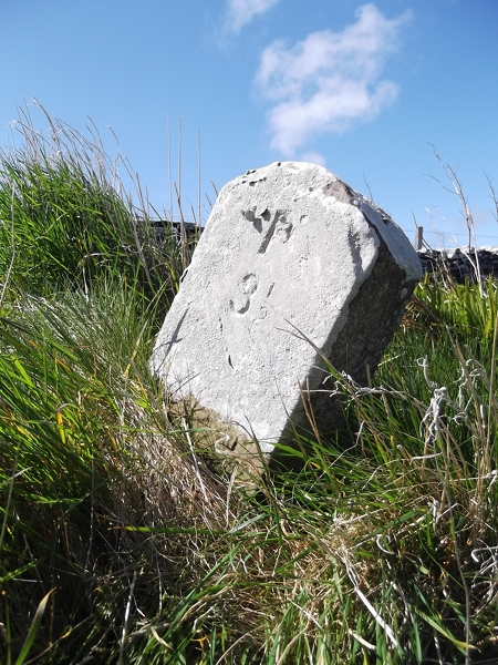
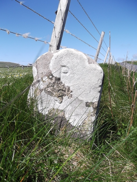
Ness of Tuquoy Images
Images are sourced within 2km of 59.274352/-2.9520629 or Grid Reference HY4543. Thanks to Geograph Open Source API. All images are credited.


Ness of Tuquoy is located at Grid Ref: HY4543 (Lat: 59.274352, Lng: -2.9520629)
Unitary Authority: Orkney Islands
Police Authority: Highlands and Islands
What 3 Words
///overgrown.submitted.pulsing. Near Pierowall, Orkney Islands
Nearby Locations
Related Wikis

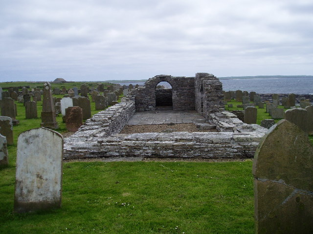
Westside Church
Westside Church, (also known as Cross Kirk), is a ruined 12th century church located on the island of Westray in Orkney, Scotland. Archaeological excavations...

Westray
Westray (, Scots: Westree) is one of the Orkney Islands in Scotland, with a usual resident population of just under 600 people. Its main village is Pierowall...

Pierowall
Pierowall is a village of Westray in the Orkney Islands, off the coast of the northern Scottish mainland. The village is the island's largest settlement...

Lady Kirk
The Lady Kirk (or St Mary's Kirk) at Pierowall is a ruined 17th-century church on the island of Westray, in Orkney, Scotland. The church was built in 1674...
Nearby Amenities
Located within 500m of 59.274352,-2.9520629Have you been to Ness of Tuquoy?
Leave your review of Ness of Tuquoy below (or comments, questions and feedback).