Sugar Loaf Beach
Beach in Somerset
England
Sugar Loaf Beach

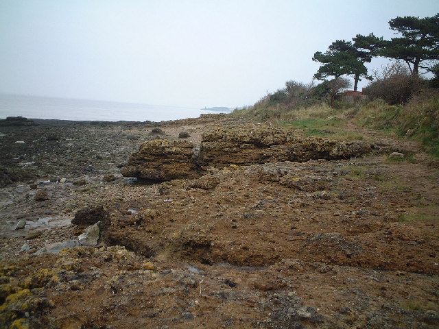
Sugar Loaf Beach is a picturesque sandy beach located on the coast of Somerset, England. Situated near the town of Porlock, it offers a tranquil and scenic retreat for locals and tourists alike. The beach is nestled between rolling hills and boasts stunning views of the Bristol Channel.
With its soft golden sands and clear turquoise waters, Sugar Loaf Beach is a popular destination for sunbathing, swimming, and picnicking. The beach is well-maintained and offers ample space for visitors to relax and enjoy the peaceful surroundings. At low tide, the beach expands, revealing extensive stretches of sand and creating the opportunity for long walks along the shore.
The beach is also known for its rich biodiversity. It is home to a variety of marine life, making it a fantastic spot for snorkeling and exploring the underwater world. The surrounding cliffs provide a nesting site for several seabird species, adding to the natural beauty of the area.
Facilities at Sugar Loaf Beach include a car park, public toilets, and a nearby café offering refreshments. The beach is easily accessible, with a short walk from the car park to the shore. There are also coastal paths and walking trails in the vicinity, allowing visitors to further explore the stunning coastal landscape.
Overall, Sugar Loaf Beach offers a peaceful and idyllic seaside experience. With its beautiful scenery, soft sands, and diverse wildlife, it is a must-visit destination for beach lovers and nature enthusiasts in Somerset.
If you have any feedback on the listing, please let us know in the comments section below.
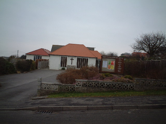
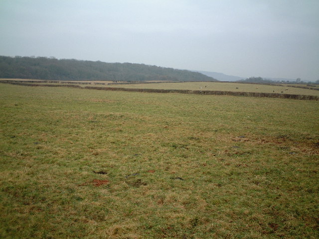
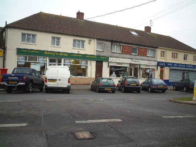
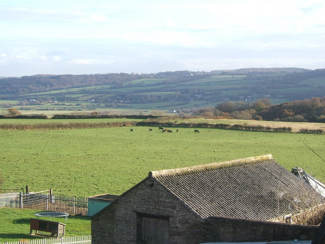
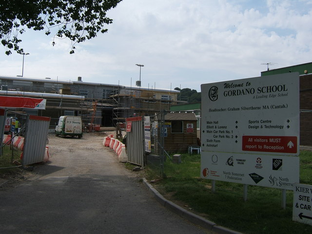
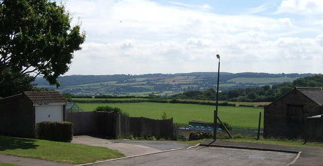
Sugar Loaf Beach Images
Images are sourced within 2km of 51.487576/-2.7884507 or Grid Reference ST4576. Thanks to Geograph Open Source API. All images are credited.


Sugar Loaf Beach is located at Grid Ref: ST4576 (Lat: 51.487576, Lng: -2.7884507)
Unitary Authority: North Somerset
Police Authority: Avon and Somerset
What 3 Words
///scales.cake.hence. Near Portishead, Somerset
Nearby Locations
Related Wikis

National Nautical School
The National Nautical School in Portishead, within the English county of Somerset, was created in 1869 for destitute and neglected boys of Bristol. It...

Black Nore Lighthouse
Black Nore Lighthouse (also known as Blacknore Point Lighthouse) at Portishead, Somerset, England, was built in 1894. It is a Grade II listed building...

Portishead and North Weston
Portishead and North Weston is a former civil parish in the North Somerset district, in the ceremonial county of Somerset, England. The parish included...
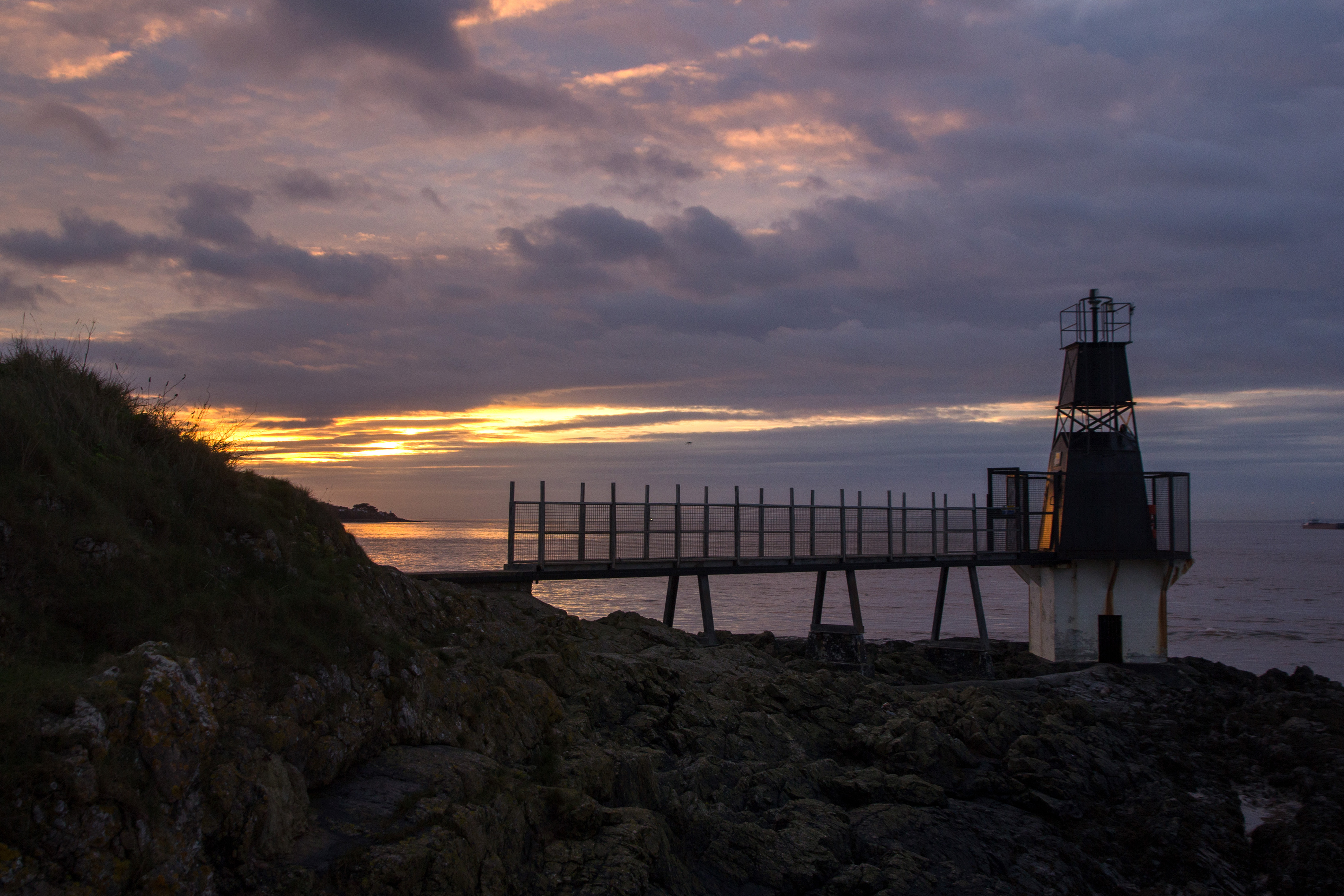
Portishead Point Lighthouse
Portishead Point Lighthouse, which is more commonly known as Battery Point Lighthouse, in Portishead, Somerset, England was built in 1931. == History... ==

Portishead Radio
Portishead Radio (callsign GKA) was a radio station in England that provided worldwide maritime communications and long-range aeronautical communications...
Portishead railway station (WCPR)
Portishead railway station served the town of Portishead, Somerset, England from 1907 to 1940 on the Weston, Clevedon and Portishead Railway. == History... ==

Redcliffe Bay
Redcliffe Bay is a large area of Portishead — a town in North Somerset, England — with most houses having views of the Bristol Channel. Despite its size...

Nightingale Valley
Nightingale Valley (grid reference ST449751) is a 5.4 hectare geological Site of Special Scientific Interest near the town of Portishead, North Somerset...
Nearby Amenities
Located within 500m of 51.487576,-2.7884507Have you been to Sugar Loaf Beach?
Leave your review of Sugar Loaf Beach below (or comments, questions and feedback).