Mae Sand

Beach in Orkney

Scotland

Mae Sand

Lane towards Breck Lane heading past Breck towards Faraclett and Scockness. A chapel is shown on the map here, but there's nothing resembling such a building amongst those to the right of the road.
Lane towards Breck Credit: Gordon Hatton

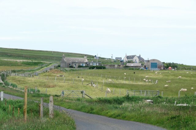
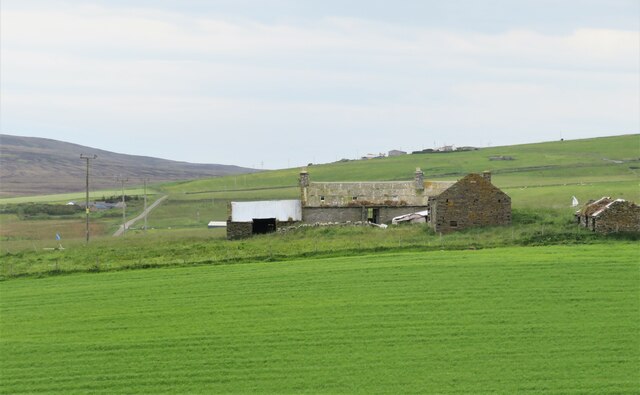
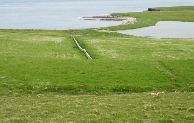
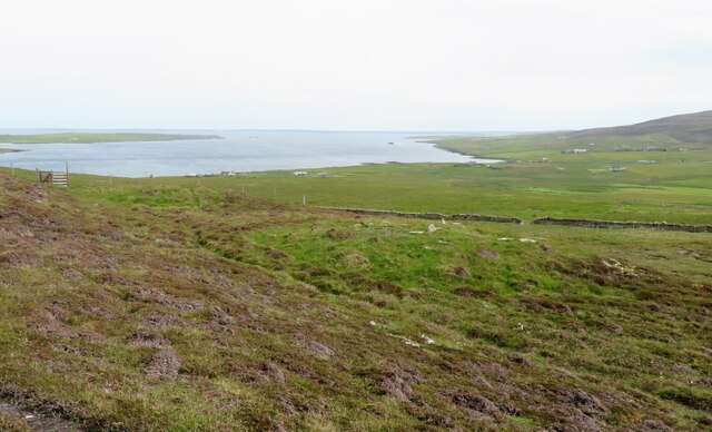
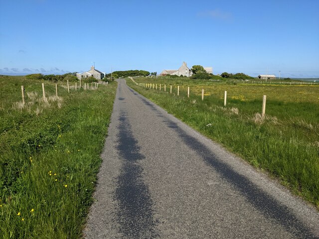
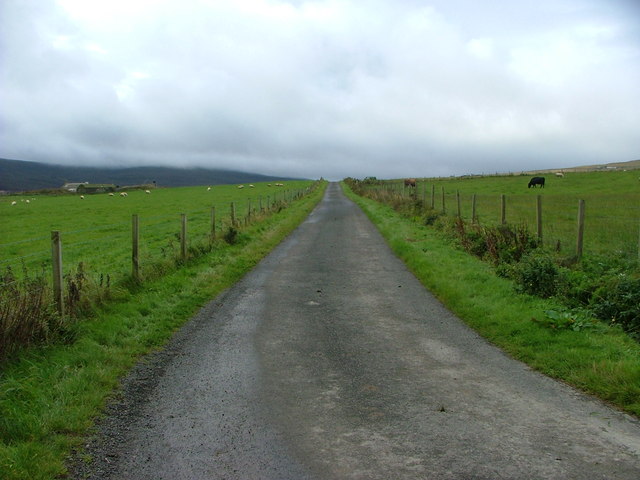
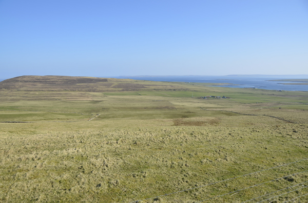
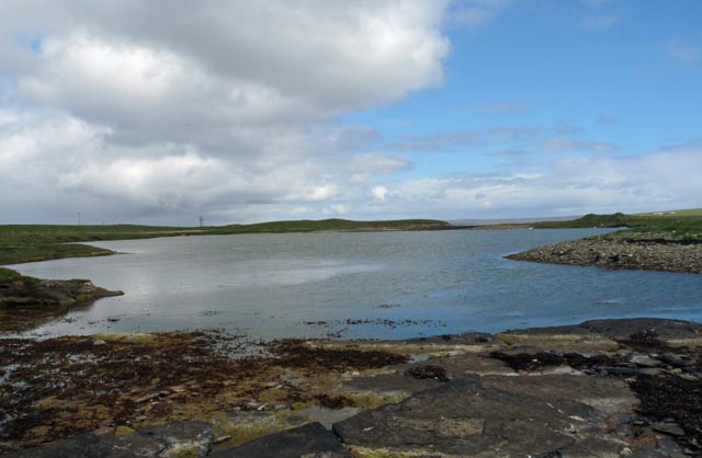
Mae Sand, located in Orkney, Scotland, is a picturesque beach renowned for its stunning beauty and tranquil atmosphere. Situated on the west coast of the mainland, it offers visitors a unique and unspoiled coastal experience. The beach stretches over a mile long and is characterized by its golden sandy shores and crystal-clear turquoise waters.

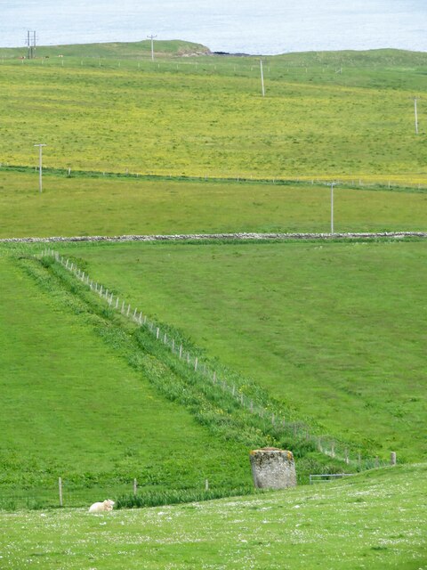
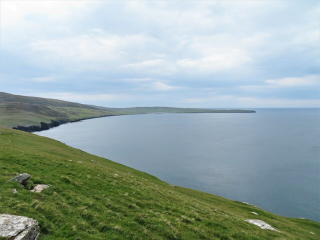
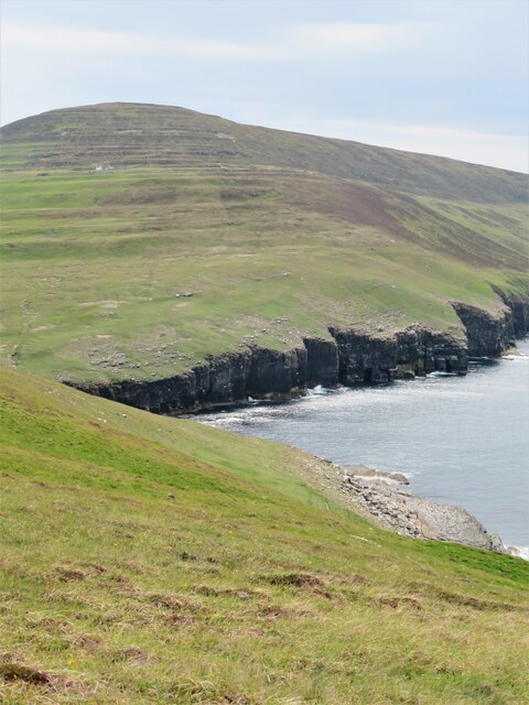
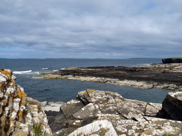
Mae Sand boasts breathtaking panoramic views of the Atlantic Ocean, with the rugged cliffs and rolling green hills of Orkney providing a stunning backdrop. The beach is known for its pristine condition, as it is regularly cleaned and maintained to preserve its natural charm.

This secluded beach offers visitors a sense of peace and solitude, making it an ideal spot for those seeking a quiet escape from the hustle and bustle of everyday life. Its remote location adds to its charm, with visitors often having the beach to themselves, especially during weekdays.

Mae Sand is also a haven for nature enthusiasts, with a variety of bird species, such as terns and oystercatchers, frequently spotted along the shoreline. The beach is also a popular spot for seal watching, as these graceful creatures are often seen basking on the rocks.

For those who enjoy outdoor activities, Mae Sand offers opportunities for beachcombing, picnicking, and even swimming during the warmer months. However, it is important to note that the waters can be cold, and caution should be exercised when entering the sea.

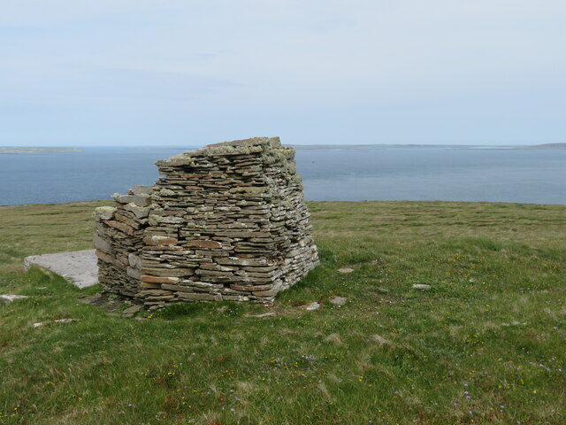
Overall, Mae Sand in Orkney is a hidden gem, offering visitors a peaceful and scenic retreat amidst breathtaking natural beauty. Whether for a peaceful stroll, wildlife spotting, or simply to enjoy the tranquility of the surroundings, this beach is a must-visit destination for nature lovers and those seeking a serene coastal experience.

If you have any feedback on the listing, please let us know in the comments section below.

Mae Sand Images

Images are sourced within 2km of 59.172794/-2.9575822 or Grid Reference HY4532. Thanks to Geograph Open Source API. All images are credited.

Lane towards Breck Lane heading past Breck towards Faraclett and Scockness. A chapel is shown on the map here, but there's nothing resembling such a building amongst those to the right of the road.
Lane towards Breck
Lane heading past Breck towards Faraclett and Scockness. A chapel is shown on the map here, but there's nothing resembling such a building amongst those to the right of the road.
Nethermill Rousay This also appears to be known as Sourin Mill and has an old cast iron wheel on this side, but does the wall to the right of the wheel show a former water race and possibly a breast shot arrangement?   Lots of activity at the mill on this occasion as it looks as though it is under conversion to a dwelling.
Nethermill Rousay
This also appears to be known as Sourin Mill and has an old cast iron wheel on this side, but does the wall to the right of the wheel show a former water race and possibly a breast shot arrangement? Lots of activity at the mill on this occasion as it looks as though it is under conversion to a dwelling.
Hillside down to the Yetnasteen stone No an easy subject to photograph as access across nearby fields is discouraged. The stone - 'Jotunna-steinn' in old Norse, which simply means 'giant stone' is over 2m high and is said to be a giant who was turned into stone. The giant must still have a thirst as legend says that the stone makes a few strides down the nearby Loch of Scockness at Hogmanay for a drink before returning. I guess that most locals would prefer a rather stronger drink at Hogmanay.
Hillside down to the Yetnasteen stone
No an easy subject to photograph as access across nearby fields is discouraged. The stone - 'Jotunna-steinn' in old Norse, which simply means 'giant stone' is over 2m high and is said to be a giant who was turned into stone. The giant must still have a thirst as legend says that the stone makes a few strides down the nearby Loch of Scockness at Hogmanay for a drink before returning. I guess that most locals would prefer a rather stronger drink at Hogmanay.
Farmstead for superheros? The abandoned farmstead is shown as Pow on the map, but maybe that should read as 'POW!' if owned by a local superhero. Slowly decaying with roofs collapsing and weeds rampant.
Farmstead for superheros?
The abandoned farmstead is shown as Pow on the map, but maybe that should read as 'POW!' if owned by a local superhero. Slowly decaying with roofs collapsing and weeds rampant.
Fields down to the shore A near straight stone wall heads down the hillside towards the bar separating the Loch of Scockness from the sea.
Fields down to the shore
A near straight stone wall heads down the hillside towards the bar separating the Loch of Scockness from the sea.
Cairn on Faraclett Head The half mile or so between this point and the beginning of green fields further east is not a place to hang around during bird breeding season.  Half a dozen arctic skuas, nasty characters at the best of times, take it in turns to fly aggressively at any human interloper. A trekking pole raised above the head fends off most attacks.
Cairn on Faraclett Head
The half mile or so between this point and the beginning of green fields further east is not a place to hang around during bird breeding season. Half a dozen arctic skuas, nasty characters at the best of times, take it in turns to fly aggressively at any human interloper. A trekking pole raised above the head fends off most attacks.
North west side of Faraclett Head A path makes a traverse of grassy slopes here, but the immediate coastal views of cliffs are disappointing due to the nature of the ground above. Views along the coast to the west are good.
North west side of Faraclett Head
A path makes a traverse of grassy slopes here, but the immediate coastal views of cliffs are disappointing due to the nature of the ground above. Views along the coast to the west are good.
Coastline west of Faraclett Head The foreground here is within the grid square, but much of the cliffline beyond is in an adjoining square.
Coastline west of Faraclett Head
The foreground here is within the grid square, but much of the cliffline beyond is in an adjoining square.
Two chambered cairns by the path Green humps, shown as chambered cairns on the map, with only the nearer one being within the grid square. The nearby stile marks the way down towards the small parking area to the south of Faraclett farm, but the route is different to that shown on the 1:25000 map as it now heads directly down to the kink in the farm lane above the car park. Some expertise in gymnastics required to climb over two very high and part broken stiles on the way.
Two chambered cairns by the path
Green humps, shown as chambered cairns on the map, with only the nearer one being within the grid square. The nearby stile marks the way down towards the small parking area to the south of Faraclett farm, but the route is different to that shown on the 1:25000 map as it now heads directly down to the kink in the farm lane above the car park. Some expertise in gymnastics required to climb over two very high and part broken stiles on the way.
Sourin view The scattered community of Sourin seen over the roof of the fish farm buildings.
Sourin view
The scattered community of Sourin seen over the roof of the fish farm buildings.
The lane to Marion's Shop This was not during the opening hours, but 'Marion' did open so we could buy some essentials. Great service, but then - this is Orkney!
The lane to Marion's Shop
This was not during the opening hours, but 'Marion' did open so we could buy some essentials. Great service, but then - this is Orkney!
The B9064 at Banks
The B9064 at Banks
The minor road near Hurtiso
Looking down the road from the junction below the car park at Faraclett Head
View across Faraclett Head
Rousay Mill, Orkney The mill is described on the RCAHMS website <span class="nowrap"><a title="http://canmore.rcahms.gov.uk/en/site/2734/details/rousay+nethermill+sourin/" rel="nofollow ugc noopener" href="http://canmore.rcahms.gov.uk/en/site/2734/details/rousay+nethermill+sourin/">Link</a><img style="margin-left:2px;" alt="External link" title="External link - shift click to open in new window" src="https://s1.geograph.org.uk/img/external.png" width="10" height="10"/></span> as "19th century. A three-storey rubble building, harled on the main frontage, with an eight-spoke overshot wood and iron wheel. The lade is carried on a drystone wall."
Rousay Mill, Orkney
The mill is described on the RCAHMS website LinkExternal link as "19th century. A three-storey rubble building, harled on the main frontage, with an eight-spoke overshot wood and iron wheel. The lade is carried on a drystone wall."
Tidal pond, Scock Ness, Rousay, Orkney
Bow of Cavequoy, Rousay, Orkney Looking towards Eday.
Bow of Cavequoy, Rousay, Orkney
Looking towards Eday.
Show me another place!

Mae Sand is located at Grid Ref: HY4532 (Lat: 59.172794, Lng: -2.9575822)

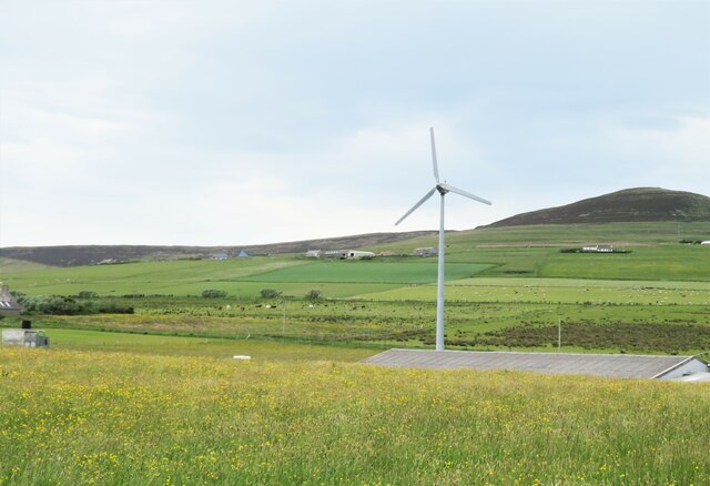
Unitary Authority: Orkney Islands

Police Authority: Highlands and Islands

What 3 Words

///lasts.search.observers. Near Brinian, Orkney Islands

Related Wikis

Holm of Scockness

The Holm of Scockness is a small island in the Orkney Islands, between Rousay and Egilsay. It is currently used for grazing. Its name is Norse in origin...

Rinyo

Rinyo was a Neolithic settlement on Rousay in Orkney, Scotland. The site was discovered in the winter of 1837–38 on the lands of Bigland Farm in the north...

St Magnus Church, Egilsay

St Magnus's Church is a ruined medieval church located on the island of Egilsay, in Orkney, Scotland. The site is recognized as the place of execution...

Kili Holm

Kili Holm is a tidal island in the Orkney Islands, linked to Egilsay. Unusually, like its neighbour Egilsay, it may have a partly Gaelic etymology, in...

Egilsay

Egilsay (, Scots: Egilsay) is one of the Orkney Islands in Scotland, lying east of Rousay. The island is largely farmland and is known for its corncrakes...

Rousay

Rousay (, Scots: Rousee; Old Norse: Hrólfsey meaning Rolf's Island) is a small, hilly island about 3 km (1.9 mi) north of Mainland, the largest island...

Trumland

Trumland is a Category B listed house and associated estate on Rousay, in Orkney, Scotland, built in its present form in the 1870s. Designed by David...
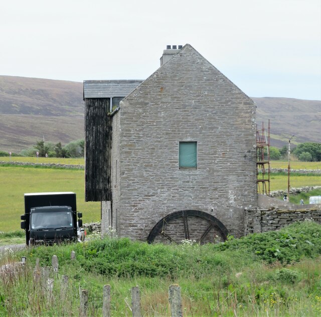
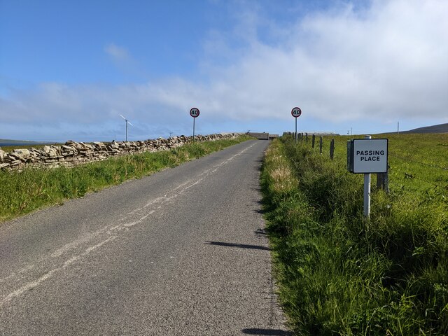
Brinian

Brinian is a village on the island of Rousay, in Orkney, Scotland. Trumland is situated to the west of the village, with Taversöe Tuick nearby. Brinian...

Nearby Amenities

Located within 500m of 59.172794,-2.9575822
Turning Loop
Lat/Long: 59.1764467/-2.9604094
Power: pole
Lat/Long: 59.1754293/-2.9640743
Power: pole
Lat/Long: 59.1752479/-2.9624167
Power: pole
Lat/Long: 59.1750638/-2.9607162
Power: pole
Lat/Long: 59.1747202/-2.9575592
Power: pole
Lat/Long: 59.1748865/-2.9590961
Power: pole
Lat/Long: 59.1746404/-2.9567358
Marker: cable
Lat/Long: 59.1752727/-2.9545149
Power: pole
Lat/Long: 59.1765618/-2.9604962
Power: pole
Lat/Long: 59.1764107/-2.9621995
The data included in this document is from www.openstreetmap.org. The data is made available under ODbL.

Have you been to Mae Sand?

Leave your review of Mae Sand below (or comments, questions and feedback).