Black Isle
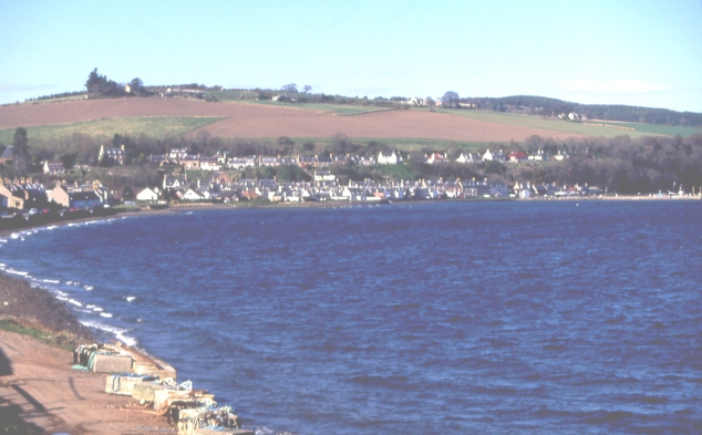
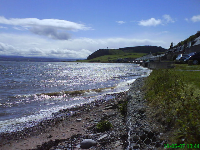
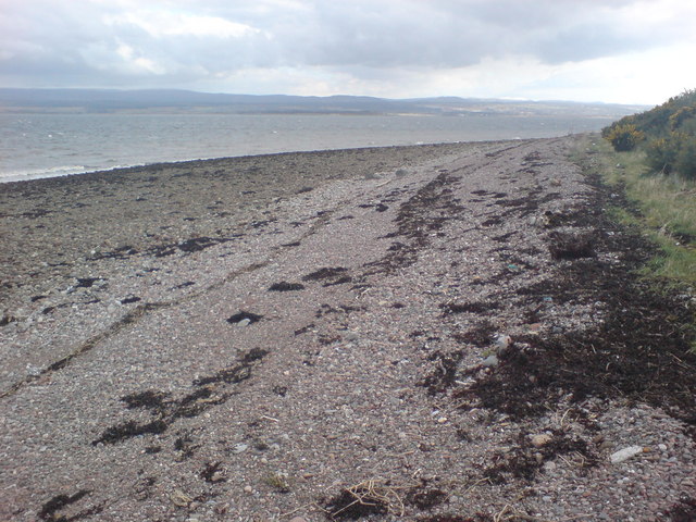
Beach in Ross-shire
Scotland
Black Isle
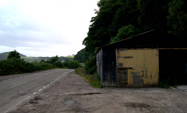
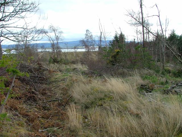
Black Isle is a peninsula located in the Scottish Highlands, specifically in Ross-shire. It is surrounded by the Moray Firth to the north, the Beauly Firth to the south, and the Cromarty Firth to the east. Black Isle is not actually an island, despite its name, as it is connected to the mainland by a narrow strip of land.
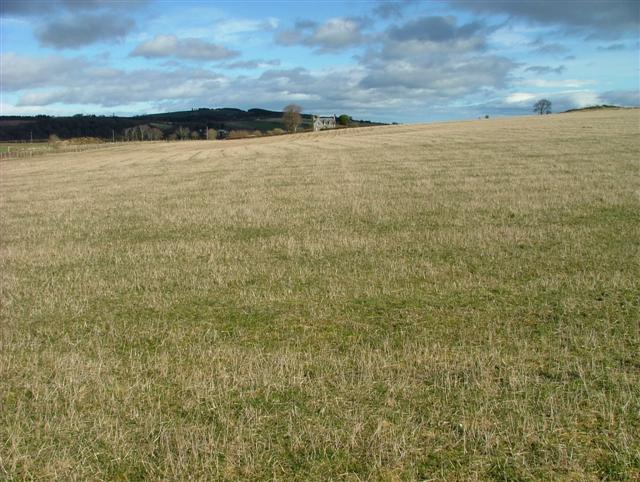
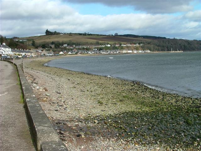
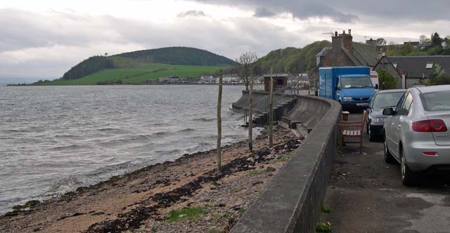
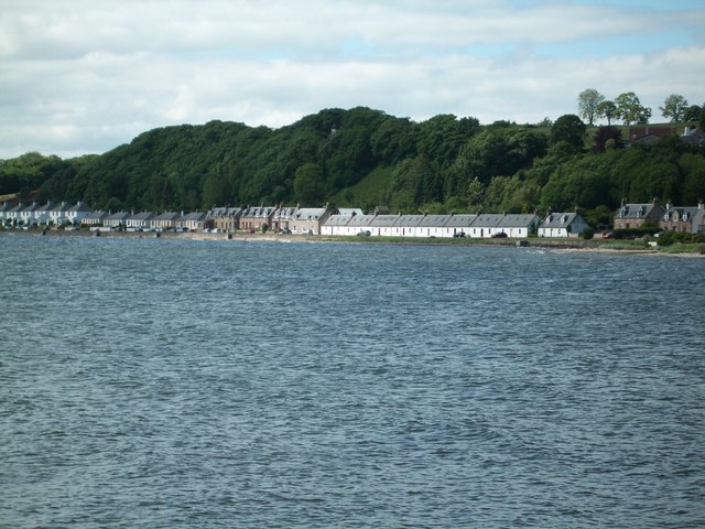
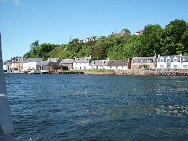
One of the notable attractions of Black Isle is its beautiful beaches. The peninsula offers a variety of sandy stretches along its coastline, perfect for leisurely walks, picnics, or simply enjoying the stunning views of the surrounding waters. The beaches are known for their clean and pristine environment, making them popular among locals and tourists alike.
One particularly famous beach on Black Isle is Chanonry Point. Located at the northeastern tip of the peninsula, it is renowned for its dolphin sightings. Visitors often gather here to catch a glimpse of the resident bottlenose dolphins that frequently swim close to the shore. From Chanonry Point, the views of the Moray Firth and the stunning Black Isle countryside are breathtaking.
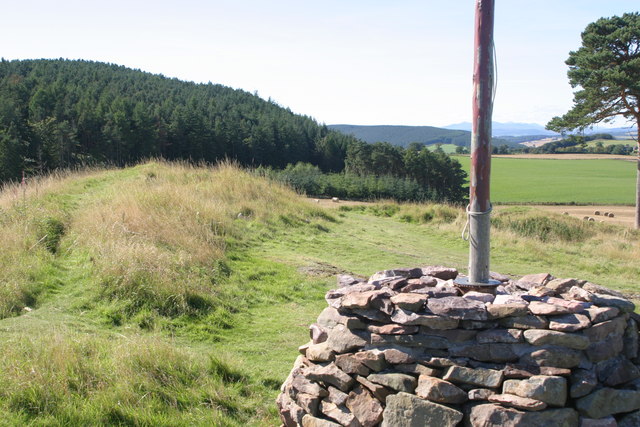
In addition to the beaches, Black Isle offers a range of outdoor activities and attractions. The peninsula is known for its wildlife, with ample opportunities for birdwatching, hiking, and cycling. The small towns and villages scattered throughout Black Isle provide visitors with a chance to experience the rich history and culture of the Scottish Highlands. Overall, Black Isle's beaches and natural beauty make it a must-visit destination for nature enthusiasts and those seeking a tranquil escape.
If you have any feedback on the listing, please let us know in the comments section below.
Black Isle Images
Images are sourced within 2km of 57.565089/-4.1684123 or Grid Reference NH7054. Thanks to Geograph Open Source API. All images are credited.
Black Isle is located at Grid Ref: NH7054 (Lat: 57.565089, Lng: -4.1684123)
Unitary Authority: Highland
Police Authority: Highlands and Islands
What 3 Words
///mulled.expectant.mourner. Near Fortrose, Highland
Nearby Locations
Related Wikis

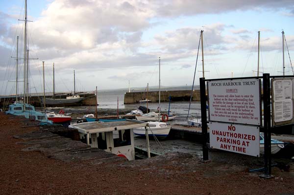
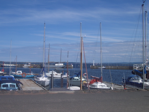
Avoch
Avoch ( OKH; from the Scottish Gaelic: Abhach – meaning mouth of the stream) is a harbour-village located on the south-east coast of the Black Isle, on...

Avoch railway station
Avoch railway station was a station on the single track branch of the Highland Railway, in north east Scotland. The line connected villages in The Black...

Ormond Castle
Ormond Castle, also known as Avoch Castle, was a powerful stronghold, overlooking the village of Avoch, on the Black Isle, in the former county of Ross...
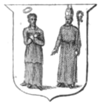
Diocese of Ross (Scotland)
The Diocese of Ross was an ecclesiastical territory or diocese in the Highland region of Scotland during the Middle Ages and Early modern period. The Diocese...
Nearby Amenities
Located within 500m of 57.565089,-4.1684123Have you been to Black Isle?
Leave your review of Black Isle below (or comments, questions and feedback).