Avoch Bay

Bay in Ross-shire

Scotland

Avoch Bay

Masonic Hall, George Street, Avoch
Masonic Hall, George Street, Avoch Credit: Bill Harrison

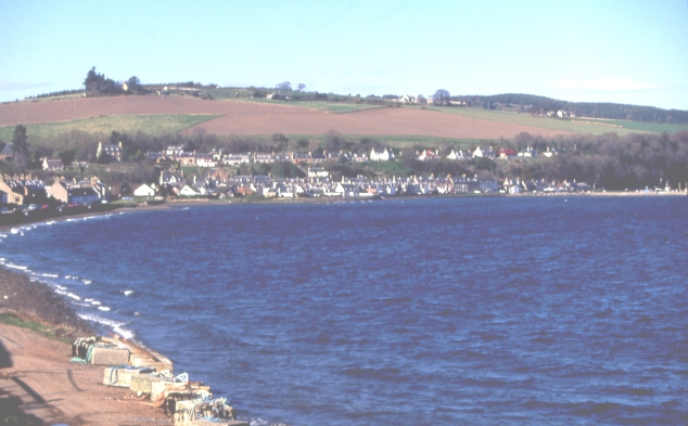
Avoch Bay is a picturesque bay located in the county of Ross-shire, Scotland. Situated on the eastern coast of the Black Isle peninsula, it is nestled between the towns of Fortrose and Rosemarkie. The bay is renowned for its stunning natural beauty and rich history, making it a popular destination for locals and tourists alike.

The bay stretches approximately 2 kilometers and is surrounded by rolling hills and rugged cliffs, providing a dramatic backdrop to the tranquil waters. The bay is sheltered by a natural breakwater called Chanonry Point, which separates it from the Moray Firth and offers protection to the surrounding area.

The bay is home to a wide variety of marine life, including seals, dolphins, and porpoises, making it a haven for wildlife enthusiasts. Visitors can often spot these creatures frolicking in the bay, particularly at Chanonry Point, which is renowned for its dolphin sightings.

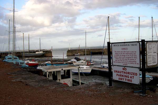
Avoch Bay also has a rich history, with evidence of human settlement dating back to prehistoric times. The village of Avoch, which overlooks the bay, was once a bustling fishing port and still retains much of its traditional charm. The bay played a significant role in the local economy, with fishing and boatbuilding being major industries.

Today, Avoch Bay continues to be a popular destination for its natural beauty, wildlife, and historical significance. Whether strolling along the bay, watching dolphins play in the water, or exploring the charming village of Avoch, visitors are sure to be captivated by the beauty and tranquility of this stunning bay.

If you have any feedback on the listing, please let us know in the comments section below.
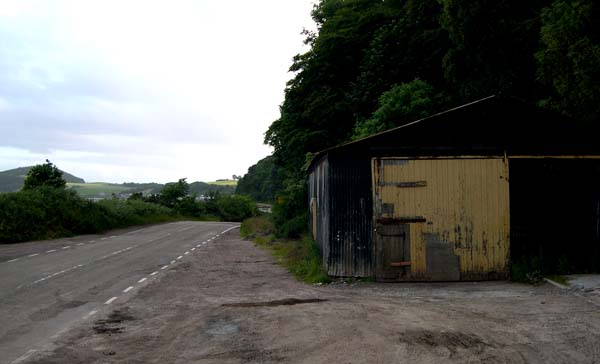
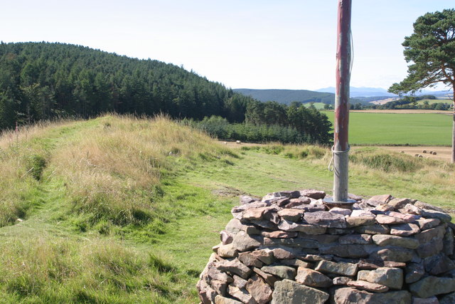
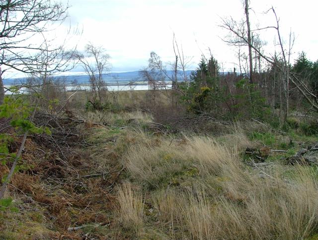
Avoch Bay Images

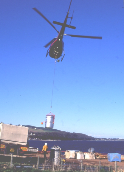
Images are sourced within 2km of 57.563991/-4.1627292 or Grid Reference NH7054. Thanks to Geograph Open Source API. All images are credited.

Masonic Hall, George Street, Avoch
Public artwork, Avoch
Eco house in the forest
Track through Knockmuir Wood
Minor road to Killen
Houses on Mackay Terrace, Avoch
Round the bend... ...on School Brae, Avoch.
Round the bend...
...on School Brae, Avoch.
Entering the Rosehaugh Estate, Avoch
Long-distance view of Arkendieth Farm The Canmore listing notes the remains of a tower (13558 <span class="nowrap"><a title="https://canmore.org.uk/site/13558/arkendeith-tower" rel="nofollow ugc noopener" href="https://canmore.org.uk/site/13558/arkendeith-tower">Link</a><img style="margin-left:2px;" alt="External link" title="External link - shift click to open in new window" src="https://s1.geograph.org.uk/img/external.png" width="10" height="10"/></span> ).
Long-distance view of Arkendieth Farm
The Canmore listing notes the remains of a tower (13558 LinkExternal link ).
Beech wood beside Avoch Burn
Fish Farming at Avoch A tank of salmon hatchlings is airlifted by helicopter to the pens in Avoch Bay
Fish Farming at Avoch
A tank of salmon hatchlings is airlifted by helicopter to the pens in Avoch Bay
Avoch A fishing village on the Black Isle.
Avoch
A fishing village on the Black Isle.
Avoch War Memorial Looking up the A832 as it leaves Avoch (which is pronounced 'Och').
Avoch War Memorial
Looking up the A832 as it leaves Avoch (which is pronounced 'Och').
Avoch Harbour There has been a harbour in Avoch (pronounced 'Och') since the 15th century.
Avoch Harbour
There has been a harbour in Avoch (pronounced 'Och') since the 15th century.
Roads department shed Dilapidated building beside A832 between Avoch and Fortrose.
Roads department shed
Dilapidated building beside A832 between Avoch and Fortrose.
Top of Ormond Hill In 1297, Sir Andrew de Moray raised his Standard at his castle at this very point. This became known as the North Rising. Men under his leadership then travelled to join William Wallace at the famous Battle of Stirling Bridge where the English Army were defeated.
Top of Ormond Hill
In 1297, Sir Andrew de Moray raised his Standard at his castle at this very point. This became known as the North Rising. Men under his leadership then travelled to join William Wallace at the famous Battle of Stirling Bridge where the English Army were defeated.
Setting sun behind treelined fence at Muiralehouse Driving west from Avoch, the setting sun highlights the beauty of the outline of these trees in winter.
Setting sun behind treelined fence at Muiralehouse
Driving west from Avoch, the setting sun highlights the beauty of the outline of these trees in winter.
Partly Felled Woodland Overlooking the Moray Firth.
Partly Felled Woodland
Overlooking the Moray Firth.
Show me another place!

Avoch Bay is located at Grid Ref: NH7054 (Lat: 57.563991, Lng: -4.1627292)

Unitary Authority: Highland

Police Authority: Highlands and Islands

What 3 Words

///squares.sweat.shallower. Near Fortrose, Highland

Related Wikis

Avoch

Avoch ( OKH; from the Scottish Gaelic: Abhach – meaning mouth of the stream) is a harbour-village located on the south-east coast of the Black Isle, on...

Avoch railway station

Avoch railway station was a station on the single track branch of the Highland Railway, in north east Scotland. The line connected villages in The Black...

Ormond Castle

Ormond Castle, also known as Avoch Castle, was a powerful stronghold, overlooking the village of Avoch, on the Black Isle, in the former county of Ross...

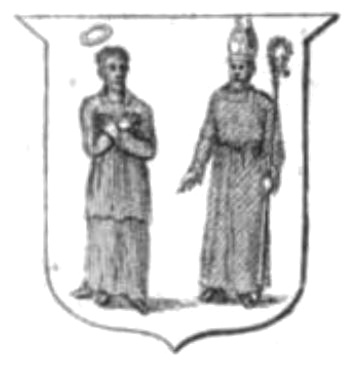
Diocese of Ross (Scotland)

The Diocese of Ross was an ecclesiastical territory or diocese in the Highland region of Scotland during the Middle Ages and Early modern period. The Diocese...

Nearby Amenities

Located within 500m of 57.563991,-4.1627292
Source: PGS
Lat/Long: 57.5667619/-4.1677438
Source: PGS
Lat/Long: 57.5667788/-4.1676339
Source: PGS
Lat/Long: 57.5664169/-4.1668975
Source: PGS
Lat/Long: 57.5665244/-4.1660811
Source: PGS
Lat/Long: 57.5666995/-4.1657262
Source: PGS
Lat/Long: 57.5668371/-4.165499
Source: PGS
Lat/Long: 57.5670701/-4.1654593
Source: PGS
Lat/Long: 57.5670696/-4.1655039
Source: PGS
Lat/Long: 57.567461/-4.1668454
Source: PGS
Lat/Long: 57.5679274/-4.1653349
Source: PGS
Lat/Long: 57.5682815/-4.1642705
Toilets
Check Date: 2023-07-23
Lat/Long: 57.5672061/-4.1681019
Bus Stop
Harbour
Bench: yes
Bin: yes
Naptan AtcoCode: 670061020
Naptan Bearing: W
Naptan CommonName: Harbour
Naptan Indicator: adj
Naptan Landmark: Avoch Harbour
Naptan NaptanCode: 45324567
Naptan Street: A832
Naptan Verified: no
Shelter: yes
Source: naptan_import
Lat/Long: 57.5674176/-4.1673348
Man Made: beacon
Seamark Light Category: vertical
Seamark Light Character: F
Seamark Light Colour: red
Seamark Light Height: 7
Seamark Light Multiple: 2
Seamark Light Range: 5
Seamark Light Reference: A 3442
Seamark Type: light_minor
Source: US NGA Pub. 114. 2011-05-26.
Lat/Long: 57.5670096/-4.1654188
Bicycle Parking
Bicycle Parking: stands
Capacity: 4
Source: Local knowledge - Transition Black Isle's Million Miles project
Lat/Long: 57.5672235/-4.1679843
Avoch Bay
Natural: bay
Lat/Long: 57.5640429/-4.1647217
The data included in this document is from www.openstreetmap.org. The data is made available under ODbL.

Have you been to Avoch Bay?

Leave your review of Avoch Bay below (or comments, questions and feedback).