South Beach
Beach in Ayrshire
Scotland
South Beach
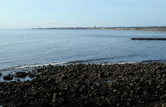
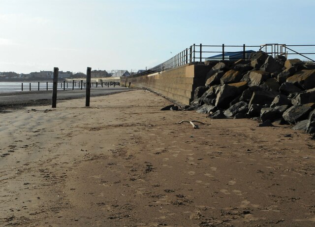
South Beach, Ayrshire, located on the west coast of Scotland, is a picturesque stretch of coastline that attracts locals and tourists alike. Spanning approximately two miles, the beach offers a stunning view of the Firth of Clyde and is known for its pristine sandy shores and clear blue waters.
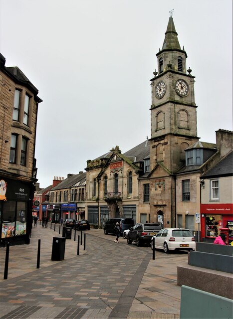
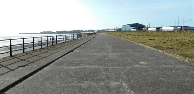
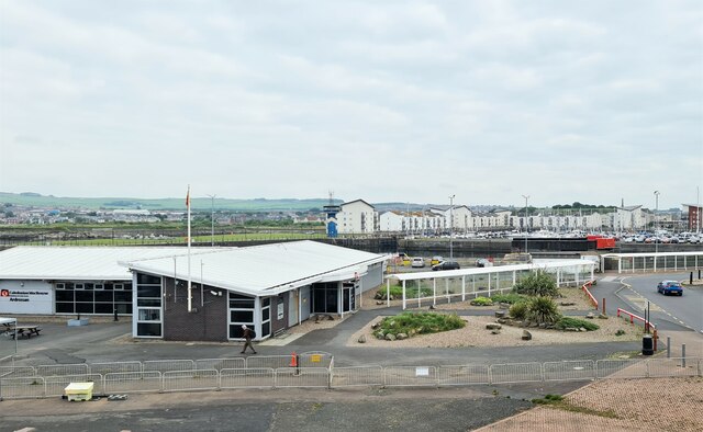
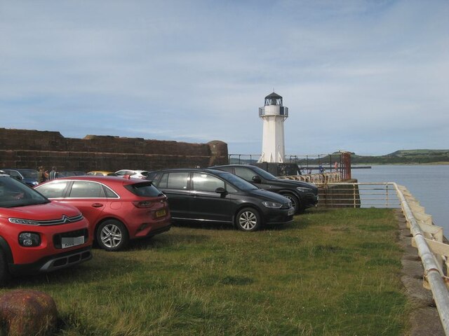
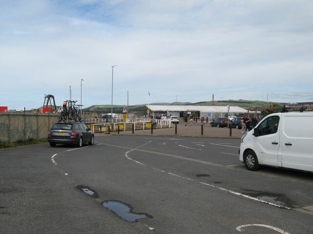
The beach is easily accessible, with ample parking available nearby. It boasts a long promenade that runs parallel to the shore, providing a pleasant walkway for visitors to enjoy the sea breeze and take in the panoramic views. Along the promenade, there are various amenities such as cafes, restaurants, and shops, offering a range of refreshments and souvenirs.
South Beach is a popular destination for water sports enthusiasts, with opportunities for swimming, kayaking, and jet skiing. Lifeguards are on duty during the summer months, ensuring the safety of beachgoers. The beach is also suitable for families, with designated areas for picnics and games.
Nature lovers will appreciate the diverse wildlife that can be spotted in and around South Beach. Seals and dolphins are often seen swimming in the waters, while various species of seabirds can be observed along the shoreline.
The beach is well-maintained, with regular cleaning and litter bins provided, ensuring a clean environment for visitors. It is also wheelchair accessible, making it inclusive for people with disabilities.
Overall, South Beach, Ayrshire offers a delightful coastal experience with its beautiful scenery, recreational activities, and convenient facilities, making it a must-visit destination for beach lovers in Scotland.
If you have any feedback on the listing, please let us know in the comments section below.
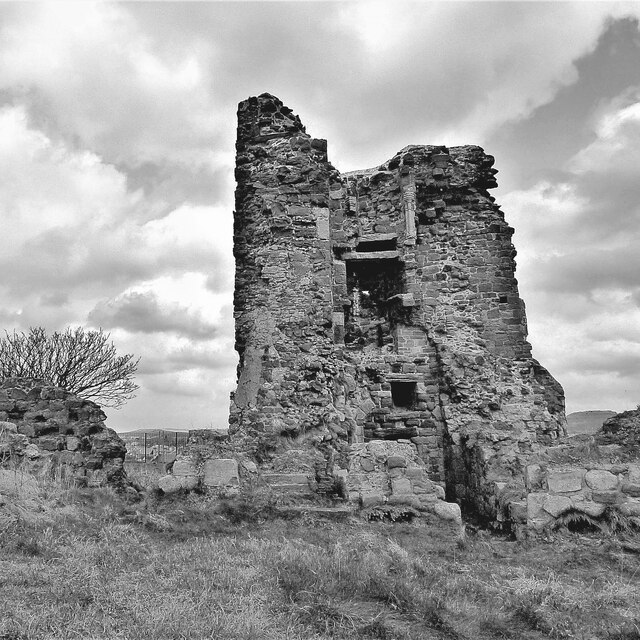
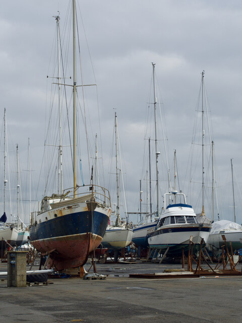
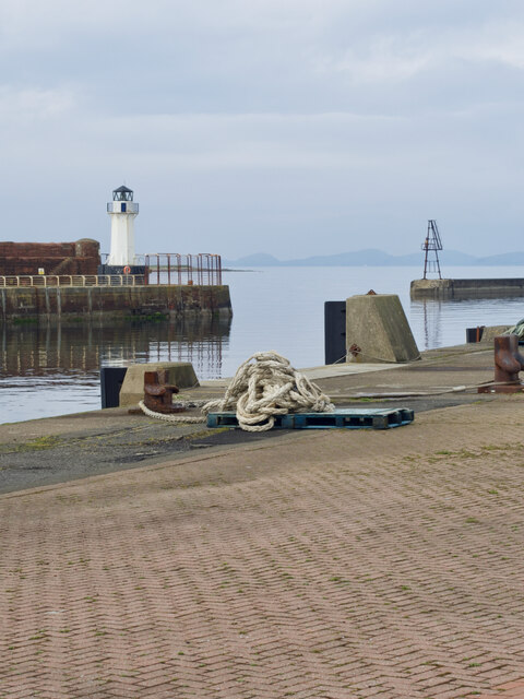
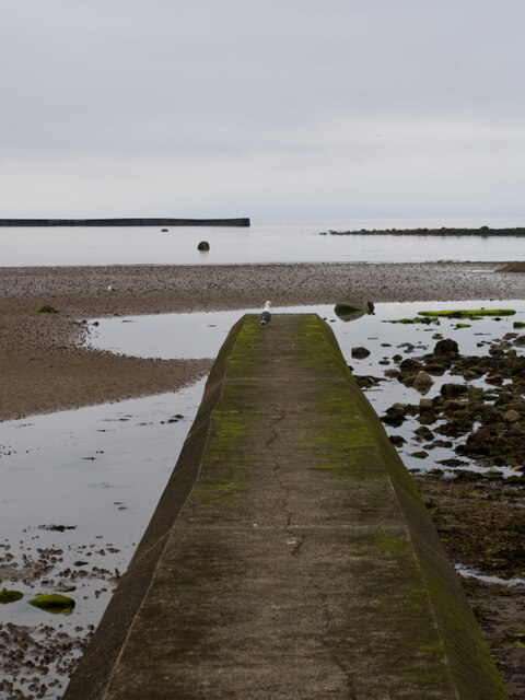
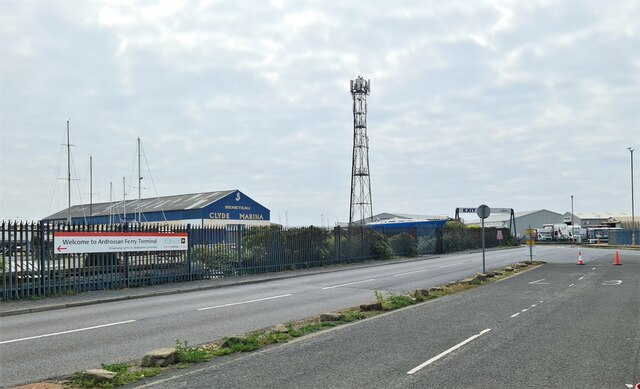
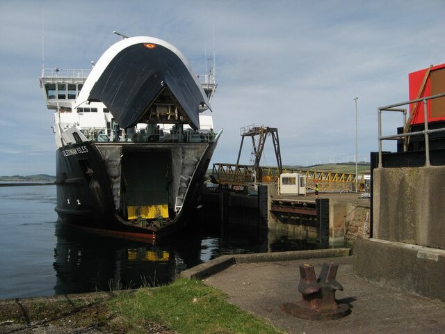
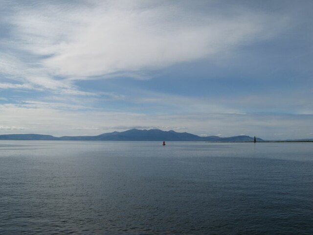
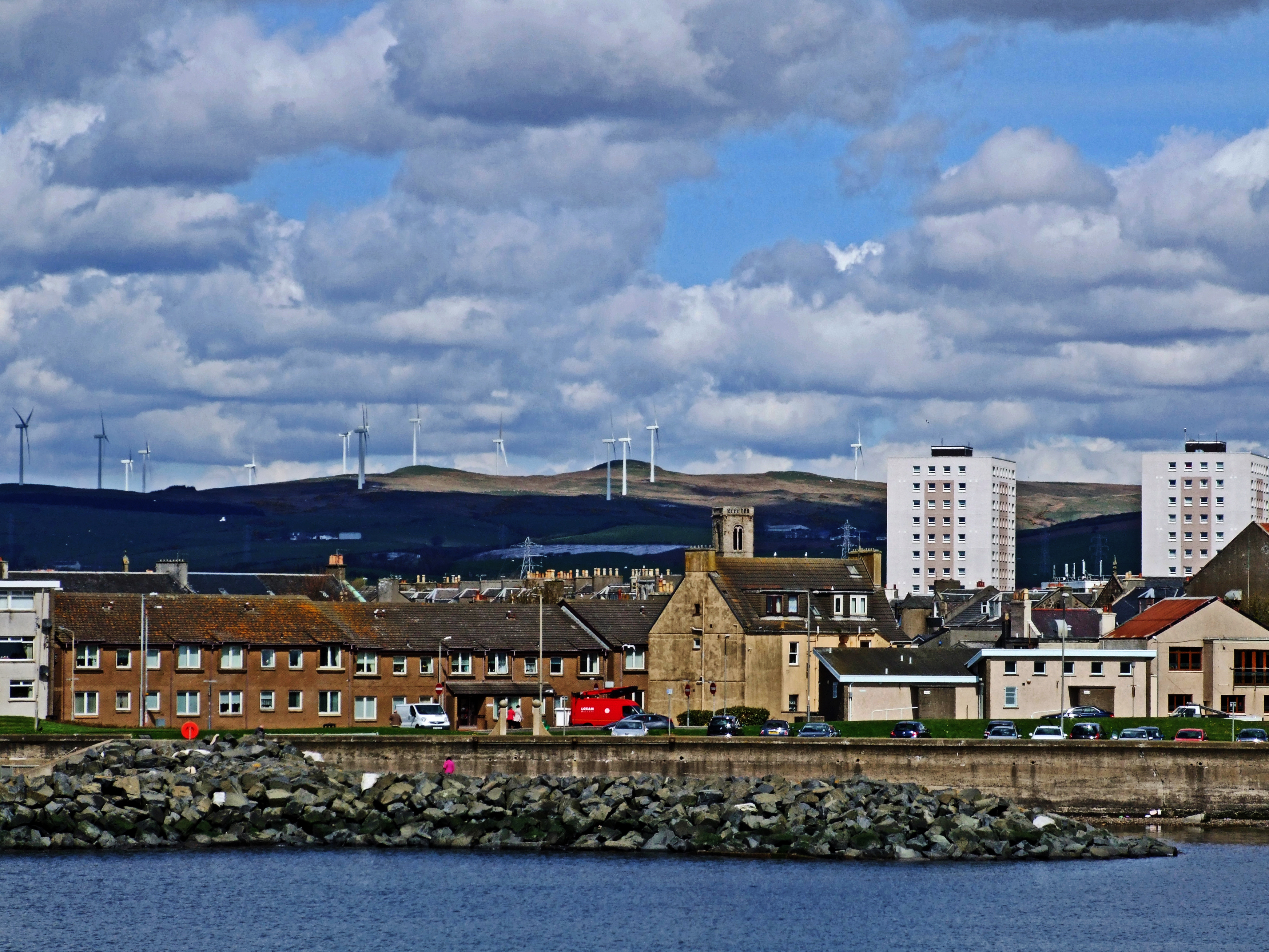
South Beach Images
Images are sourced within 2km of 55.636412/-4.7994397 or Grid Reference NS2341. Thanks to Geograph Open Source API. All images are credited.
South Beach is located at Grid Ref: NS2341 (Lat: 55.636412, Lng: -4.7994397)
Unitary Authority: North Ayrshire
Police Authority: Ayrshire
What 3 Words
///issues.bronze.riches. Near Saltcoats, North Ayrshire
Nearby Locations
Related Wikis

Ardrossan South Beach railway station
Ardrossan South Beach railway station is one of three in the town of Ardrossan, North Ayrshire, Scotland. The station is managed by ScotRail and is on...
Saltcoats
Saltcoats (Scottish Gaelic: Baile an t-Salainn; Scots: Saulcoats) is a town on the west coast of North Ayrshire, Scotland. The name is derived from the...
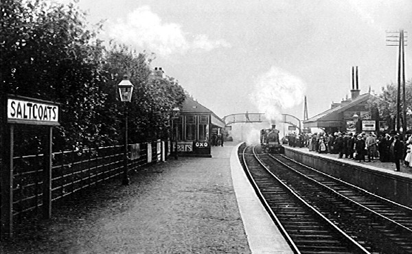
Saltcoats North railway station
Saltcoats North railway station was a railway station serving the town of Saltcoats, North Ayrshire, Scotland as part of the Lanarkshire and Ayrshire Railway...

St Andrew's Academy, North Ayrshire
St Andrew's Academy was a Roman Catholic secondary school from 1971 to 2007 in the seaside town of Saltcoats, North Ayrshire, Scotland. It was named after...
St Matthew's Academy
St. Matthew's Academy is a Roman Catholic secondary school in the Scottish town of Saltcoats, North Ayrshire. The teaching facilities in St Matthew's...
St Michael's Academy, Kilwinning
St Michael's Academy was a Roman Catholic secondary school in Kilwinning, North Ayrshire, Scotland. The secondary school served the Roman Catholic community...

Ardrossan Town railway station
Ardrossan Town railway station is one of three remaining in the town of Ardrossan, North Ayrshire, Scotland. It is one of the oldest operational railway...

Ardrossan Academy
Ardrossan Academy is a Scottish secondary school, opened in October 1882, serving Ardrossan, with pupils also coming from nearby Saltcoats, West Kilbride...
Nearby Amenities
Located within 500m of 55.636412,-4.7994397Have you been to South Beach?
Leave your review of South Beach below (or comments, questions and feedback).