Traeth y Gwyrddon
Beach in Cardiganshire
Wales
Traeth y Gwyrddon

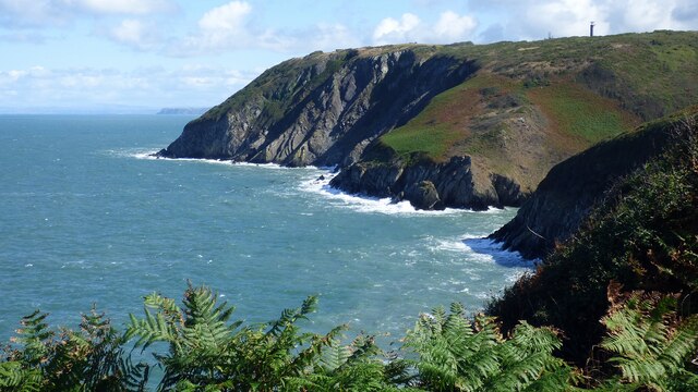
Traeth y Gwyrddon, located in Cardiganshire, Wales, is a stunning beach renowned for its natural beauty and tranquil atmosphere. Stretching over two miles, the beach offers visitors a vast expanse of soft golden sand, dunes, and crystal-clear waters. It is nestled between the towns of Borth and Ynyslas, providing easy access to amenities while maintaining a sense of seclusion.
The beach is a popular destination for both locals and tourists alike, attracting nature lovers, families, and water sports enthusiasts. Its Blue Flag status ensures clean and safe bathing conditions, making it an ideal spot for swimming and sunbathing. The gently sloping shoreline allows for safe paddling and creates a perfect environment for children to play in the shallow waters.
Nature enthusiasts are drawn to Traeth y Gwyrddon due to its proximity to the Ynyslas National Nature Reserve. This protected area is home to a diverse range of wildlife, including rare birds, plants, and animals. Visitors can explore the reserve's extensive sand dunes and boardwalks, offering a unique opportunity to observe and appreciate the natural habitats.
For those seeking adventure, Traeth y Gwyrddon provides ample opportunities for water sports such as surfing, windsurfing, and kiteboarding. The prevailing winds and consistent waves make it a favorite spot among enthusiasts. Additionally, the beach is a popular destination for beach fishing, with anglers casting their lines in search of various species.
Whether one seeks relaxation, exploration, or adventure, Traeth y Gwyrddon offers a tranquil and scenic escape for all who visit its shores. Its natural beauty, combined with its accessibility and range of activities, make it a must-visit destination in Cardiganshire.
If you have any feedback on the listing, please let us know in the comments section below.
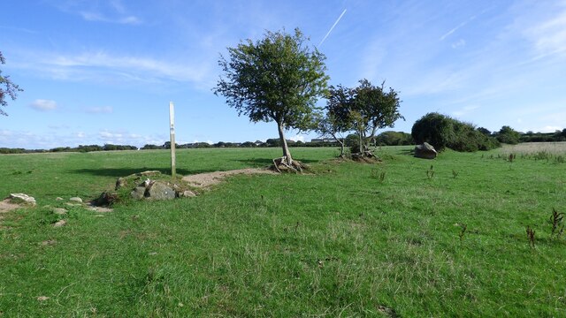
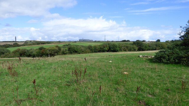
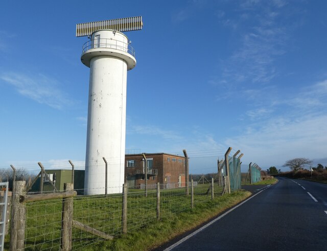
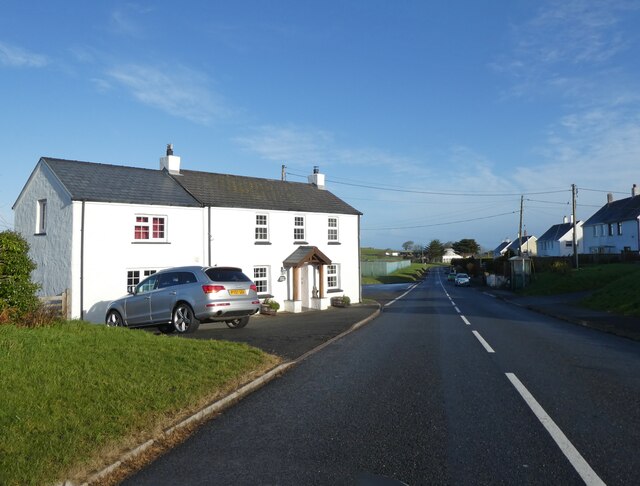
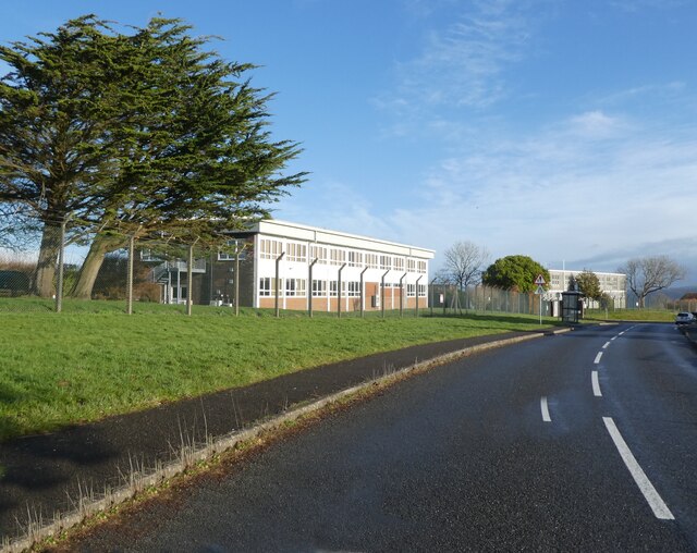
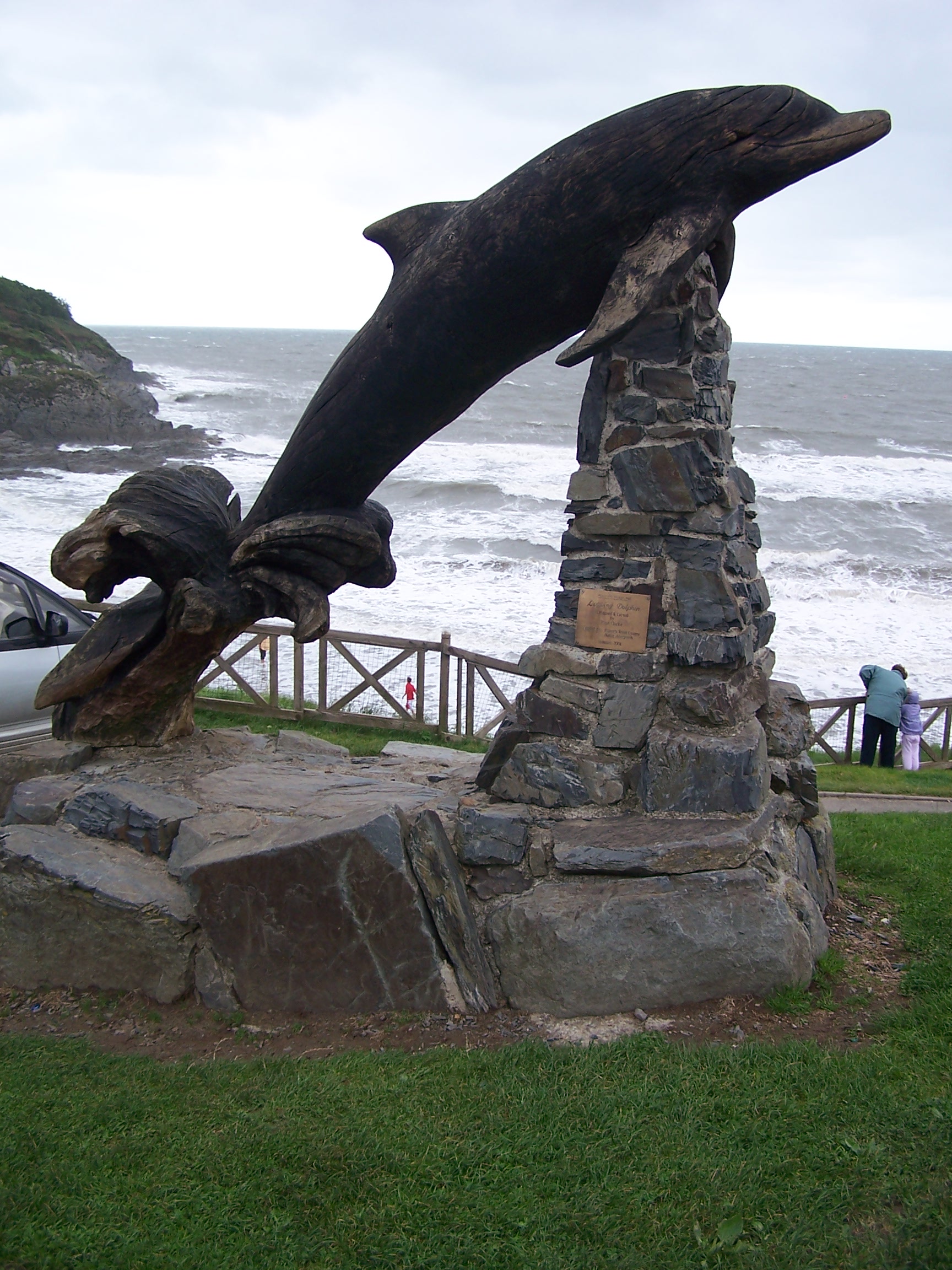
Traeth y Gwyrddon Images
Images are sourced within 2km of 52.138203/-4.5822787 or Grid Reference SN2352. Thanks to Geograph Open Source API. All images are credited.


![Felinwynt Summit Roadside bag so up hedgeside to NNW and SSE but fields seem lower than road.
Name: Felinwynt
Hill number: 15438
Height:174m / 571ft
Parent (Ma/M): 2221 Rhos Ymryson
Section:31C: South-West Wales
County/UA:Cardiganshire [Ceredigion] (CoU)
Class: Tump (100-199m)
Grid ref:SN226503 (est)
Drop: 55m
Col:119m SN248499](https://s0.geograph.org.uk/geophotos/04/66/69/4666984_ac6db6b4.jpg)


Traeth y Gwyrddon is located at Grid Ref: SN2352 (Lat: 52.138203, Lng: -4.5822787)
Unitary Authority: Ceredigion
Police Authority: Dyfed Powys
What 3 Words
///bronzes.rocks.forehand. Near Aberporth, Ceredigion
Nearby Locations
Related Wikis

Parc-llyn
Parc-llyn (also known as Parcllyn) is a village in the community of Aberporth, Ceredigion, Wales, which is 74.4 miles (119.7 km) from Cardiff and 194...

Clausen Rolling Platform
The Clausen Rolling Platform was a missile launching platform, built at the coastal missile test range of RAE Aberporth, West Wales, in the 1950s. It used...
Aberporth
Aberporth is a seaside village, community and electoral ward in Ceredigion, Wales. The population at the 2001 Census, was 2,485, of whom 49 per cent could...
Pen-rhiw
Pen-rhiw (sometimes spelt "Penrhiw") is a hamlet in the community of Y Ferwig, Ceredigion, Wales, which is 74.8 miles (120.4 km) from Cardiff and 195.2...
Rhosygadair Newydd
Rhosygadair Newydd is a small village in the community of Aberporth, Ceredigion, Wales, which is 73.9 miles (118.9 km) from Cardiff and 194.1 miles (312...
Aberporth Airport
Aberporth Airport (ICAO: EGFA) (Welsh: Maes Awyr Aber-porth) is situated southwest of Aberporth, Ceredigion, Wales. The airport is being developed as West...

St Michael's Church, Tremain
St Michael's Church, Tremain, is a redundant church in the hamlet of Tremain (or Tremaen), Ceredigion, Wales. It has been designated by Cadw as a Grade...

Church of the Holy Cross, Mwnt
The Church of the Holy Cross (Welsh: Eglwys y Grog) at Mwnt, Ceredigion, Wales, is a parish church and Grade I listed building dating probably from the...
Nearby Amenities
Located within 500m of 52.138203,-4.5822787Have you been to Traeth y Gwyrddon?
Leave your review of Traeth y Gwyrddon below (or comments, questions and feedback).