West Shore
Coastal Feature, Headland, Point in Ayrshire
Scotland
West Shore
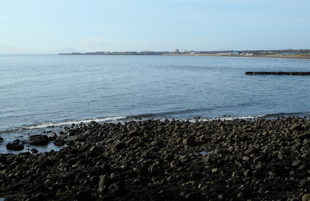
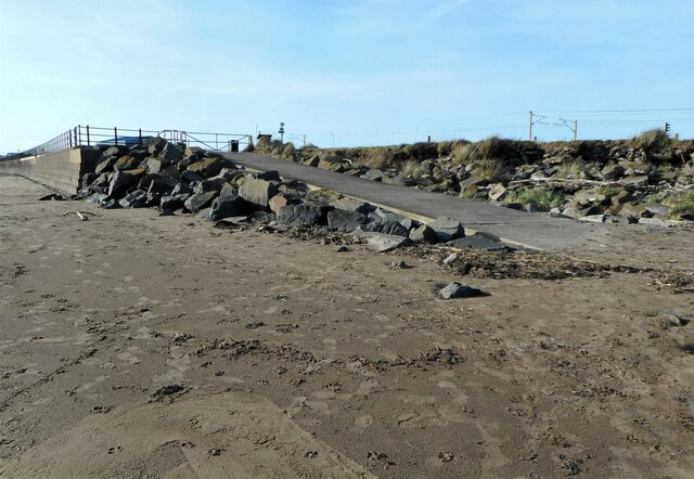
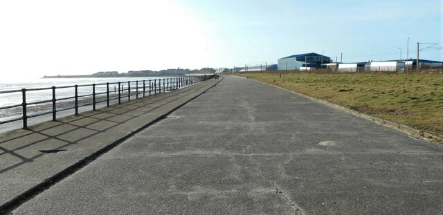
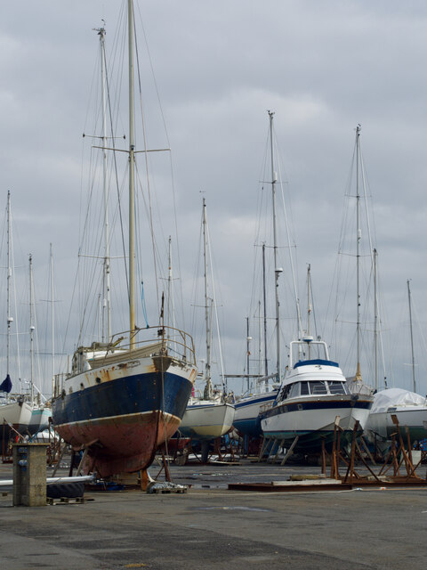
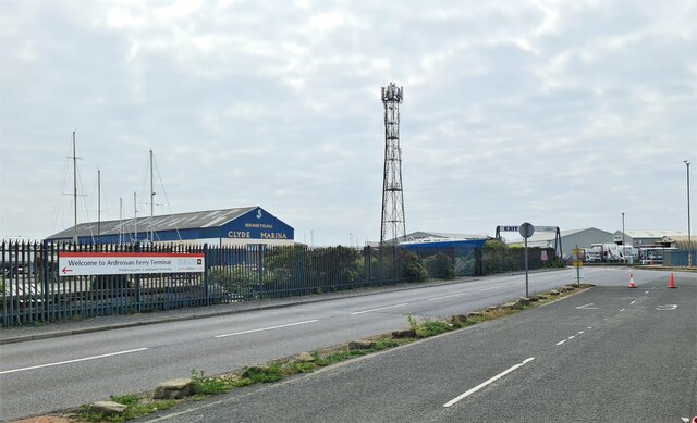
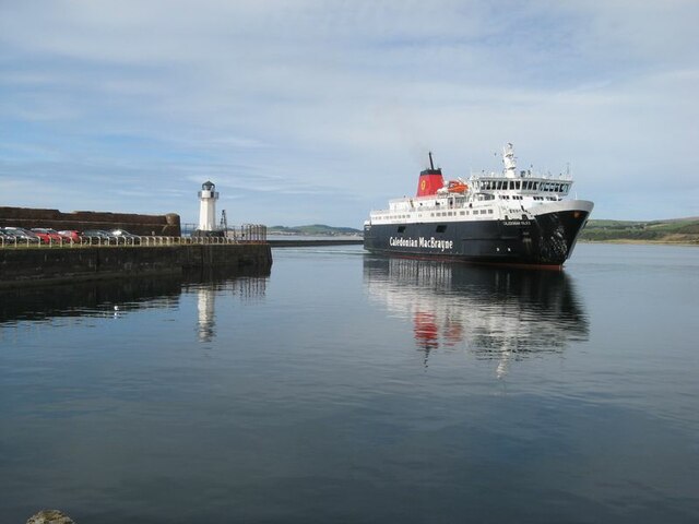
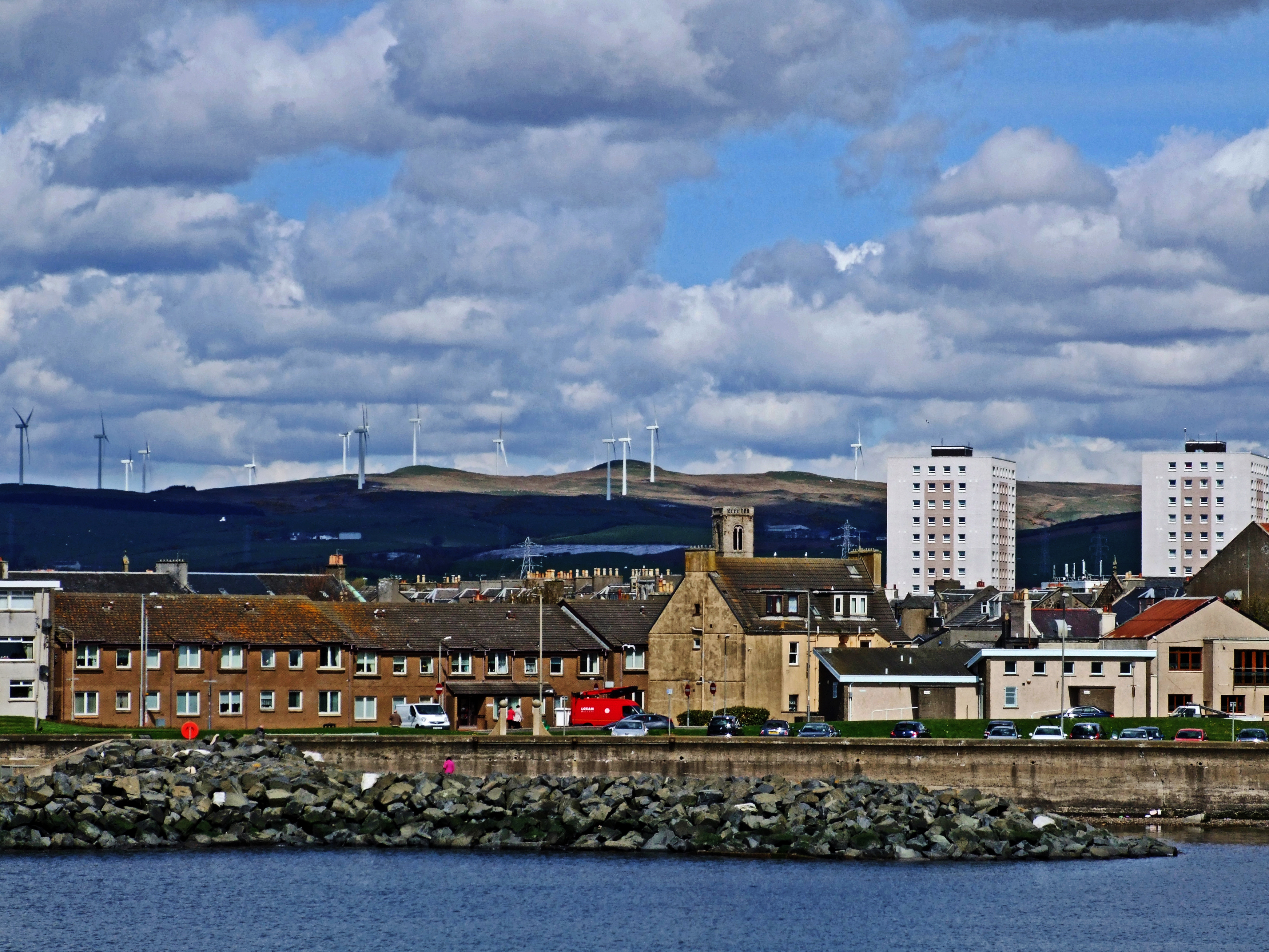
West Shore is a prominent coastal feature located in Ayrshire, Scotland. It is a headland that extends into the Firth of Clyde, forming a point that separates the town of Ayr from the adjacent area of Newton on Ayr. This picturesque headland offers stunning views of the surrounding coastline and is a popular destination for tourists and locals alike.
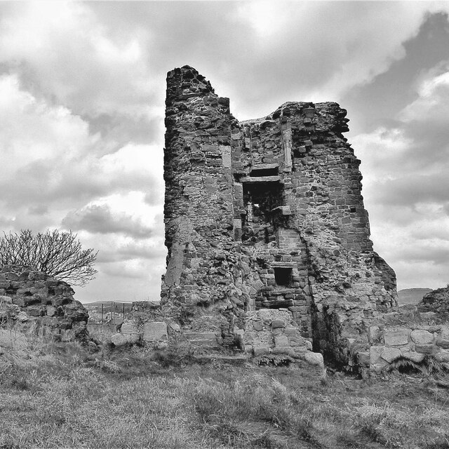
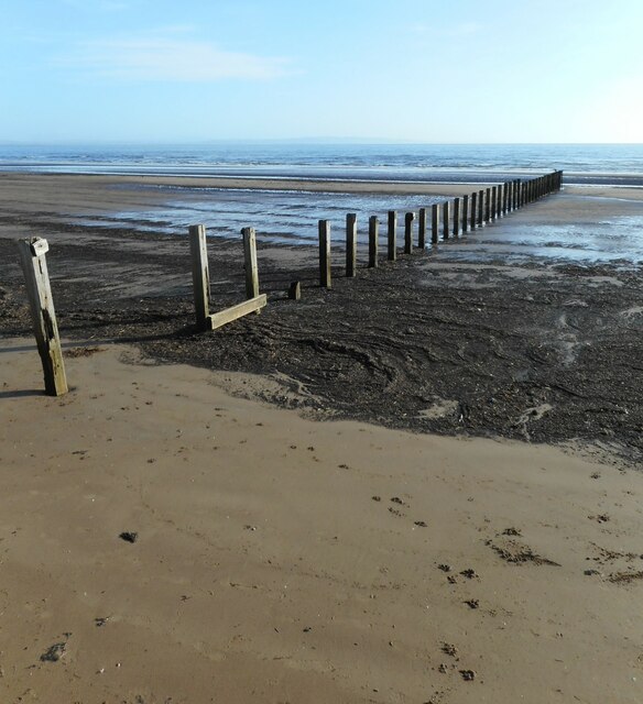
Covering an area of approximately 1.5 hectares, West Shore boasts a diverse landscape consisting of rocky cliffs, sandy beaches, and grassy areas. The headland is predominantly made up of sedimentary rocks, with layers of sandstone and shale visible along its slopes. These geological formations provide a unique insight into the region's geological history.
The headland is home to a variety of plant and animal species, making it an important ecological site. The grassy areas are adorned with wildflowers during the summer months, attracting butterflies and bees. It is also a haven for birdwatchers, with several species of seabirds, including gulls and cormorants, nesting along the cliffs.
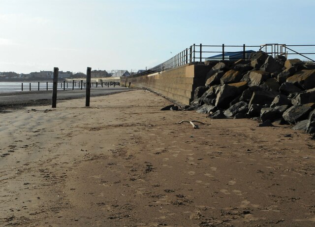
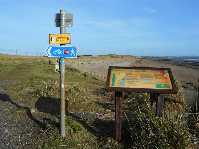
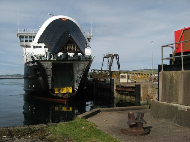
West Shore offers numerous recreational activities for visitors to enjoy. The sandy beach is perfect for sunbathing, picnicking, and building sandcastles. It is also a popular spot for water sports such as kayaking and windsurfing. The headland's extensive network of walking trails provides opportunities for hikers to explore the area and enjoy the breathtaking coastal vistas.
Overall, West Shore is a beautiful and diverse coastal feature that offers a unique blend of geological significance, ecological importance, and recreational opportunities. It is a must-visit destination for nature enthusiasts and those seeking a tranquil escape by the seaside.
If you have any feedback on the listing, please let us know in the comments section below.
West Shore Images
Images are sourced within 2km of 55.63163/-4.7978591 or Grid Reference NS2341. Thanks to Geograph Open Source API. All images are credited.


West Shore is located at Grid Ref: NS2341 (Lat: 55.63163, Lng: -4.7978591)
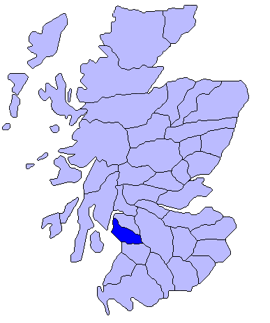
Unitary Authority: North Ayrshire
Police Authority: Ayrshire
What 3 Words
///stamp.poet.rings. Near Saltcoats, North Ayrshire
Nearby Locations
Related Wikis
Saltcoats
Saltcoats (Scottish Gaelic: Baile an t-Salainn; Scots: Saulcoats) is a town on the west coast of North Ayrshire, Scotland. The name is derived from the...

Saltcoats Town Hall
Saltcoats Town Hall is a municipal building in Countess Street, Saltcoats, North Ayrshire, Scotland. The building, which is used by North Ayrshire Council...
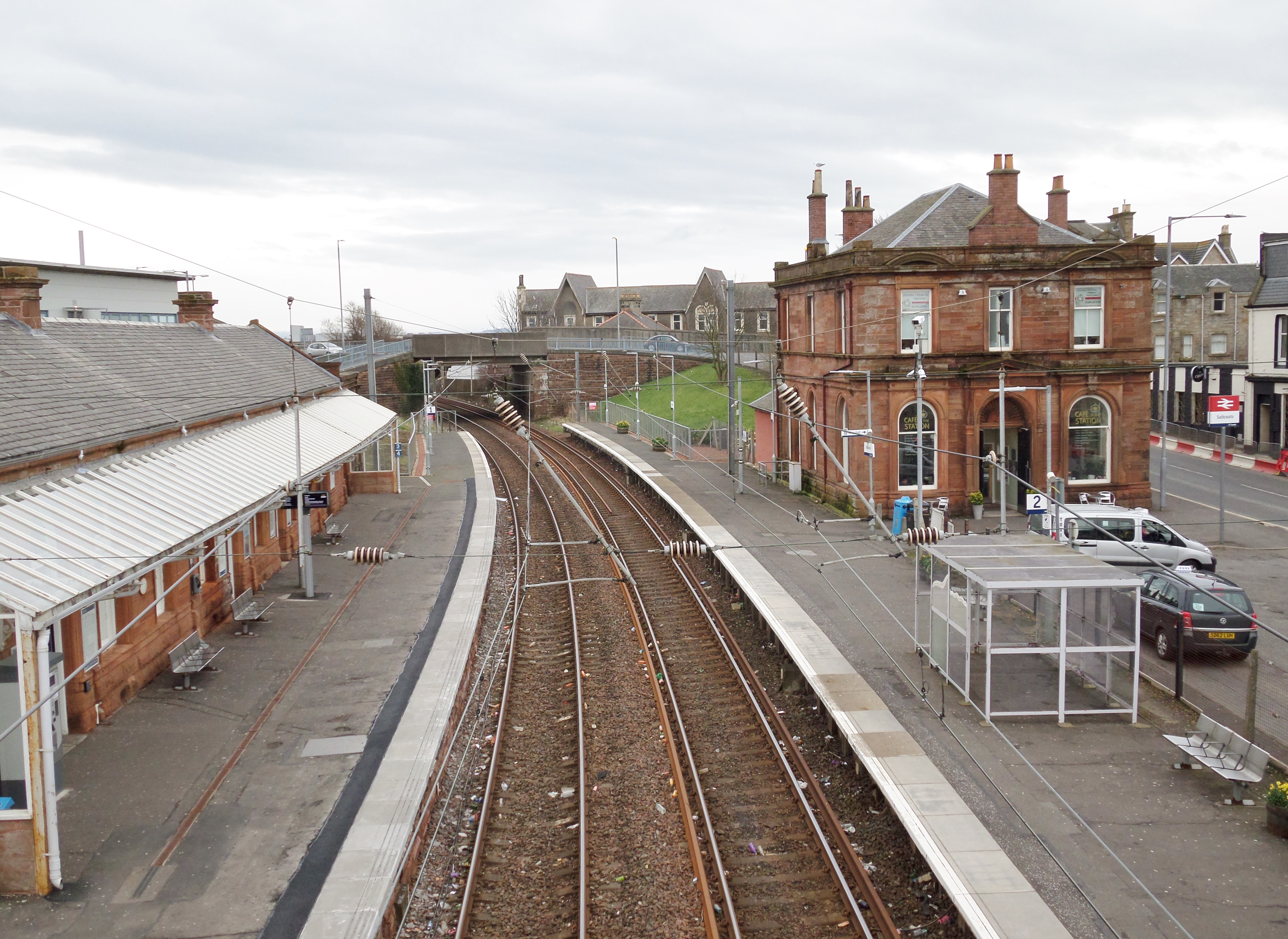
Saltcoats railway station
Saltcoats railway station is a railway station serving the town of Saltcoats, North Ayrshire, Scotland. The station is managed by ScotRail and is on the...
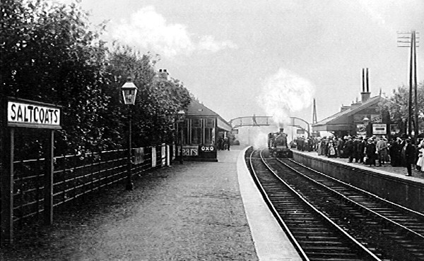
Saltcoats North railway station
Saltcoats North railway station was a railway station serving the town of Saltcoats, North Ayrshire, Scotland as part of the Lanarkshire and Ayrshire Railway...

Ardrossan South Beach railway station
Ardrossan South Beach railway station is one of three in the town of Ardrossan, North Ayrshire, Scotland. The station is managed by ScotRail and is on...
Cunninghame
Cunninghame (Scottish Gaelic: Coineagan) is a former comital district of Scotland and also a district of the Strathclyde Region from 1975 to 1996. ��2...

St Andrew's Academy, North Ayrshire
St Andrew's Academy was a Roman Catholic secondary school from 1971 to 2007 in the seaside town of Saltcoats, North Ayrshire, Scotland. It was named after...
St Matthew's Academy
St. Matthew's Academy is a Roman Catholic secondary school in the Scottish town of Saltcoats, North Ayrshire. The teaching facilities in St Matthew's...
Nearby Amenities
Located within 500m of 55.63163,-4.7978591Have you been to West Shore?
Leave your review of West Shore below (or comments, questions and feedback).