Dalbeg Bay
Bay in Ross-shire
Scotland
Dalbeg Bay
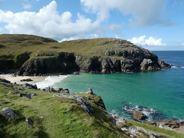
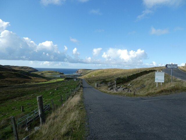
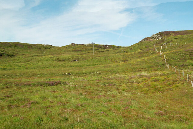
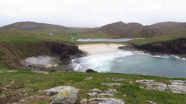
Dalbeg Bay is a picturesque coastal area located in Ross-shire, a county in the Highlands of Scotland. Situated along the western shores of the Scottish mainland, the bay offers stunning views of the North Atlantic Ocean and its rugged coastline. The name "Dalbeg" is derived from the Gaelic words "dal" meaning "meadow" and "beag" meaning "small," aptly describing the bay's small meadow-like stretches of land and its serene atmosphere.
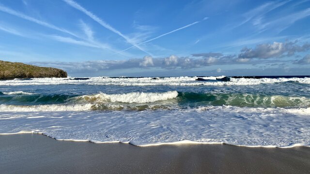
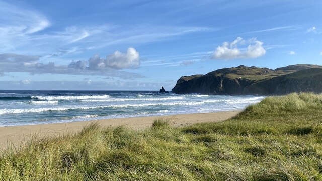
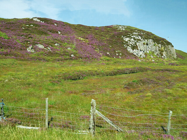
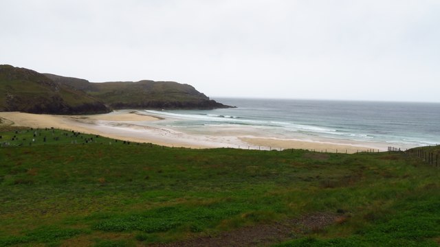
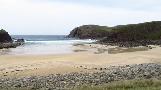
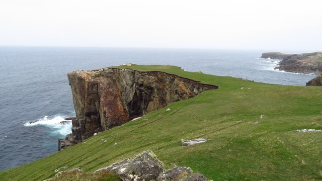
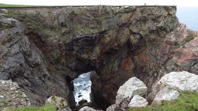
The bay is characterized by its pristine sandy beaches, clear turquoise waters, and towering cliffs that provide a dramatic backdrop. These natural features make it a popular destination for nature enthusiasts, beachgoers, and photographers seeking to capture the beauty of the Scottish coastline. The area is also known for its diverse wildlife, with a variety of seabirds and marine animals frequenting the bay.
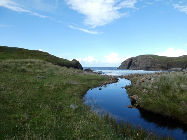
Dalbeg Bay offers numerous recreational activities for visitors to enjoy. It is a favored spot for swimming, sunbathing, and picnicking on the beach. The bay's calm waters also attract kayakers and paddleboarders, providing an opportunity to explore the coastline from a different perspective. Additionally, the surrounding hills and cliffs offer excellent hiking trails, allowing visitors to immerse themselves in the area's natural splendor.
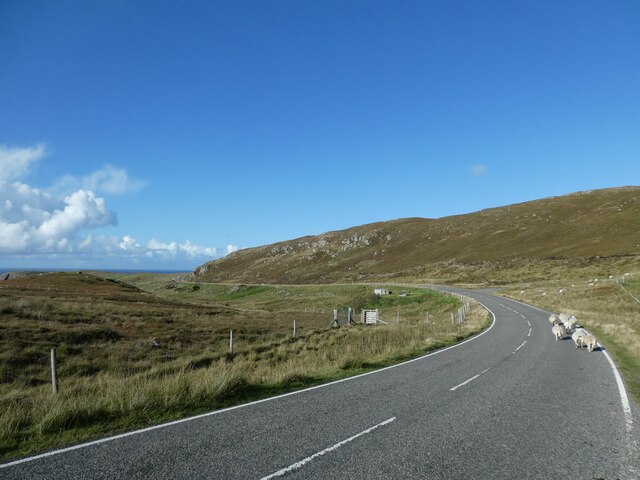
While Dalbeg Bay is a haven for those seeking a tranquil coastal experience, it is worth noting that the area can be subject to unpredictable weather conditions typical of the Scottish coast. Visitors are advised to come prepared with appropriate clothing and equipment, especially if engaging in outdoor activities.
If you have any feedback on the listing, please let us know in the comments section below.
Dalbeg Bay Images
Images are sourced within 2km of 58.315047/-6.7413297 or Grid Reference NB2246. Thanks to Geograph Open Source API. All images are credited.


Dalbeg Bay is located at Grid Ref: NB2246 (Lat: 58.315047, Lng: -6.7413297)
Unitary Authority: Na h-Eileanan an Iar
Police Authority: Highlands and Islands
Also known as: Bàgh Dhail Beag
What 3 Words
///pills.rewrites.cycled. Near Carloway, Na h-Eileanan Siar
Nearby Locations
Related Wikis

Siadar Wave Power Station
The Siadar Wave Power Station (also known as Siadar Wave Energy Project or SWEP) was a proposed 4 MW wave farm 400 metres (1,300 ft) off the shore of Siadar...

Garenin
Garenin (Scottish Gaelic: Na Gearrannan) is a crofting township on the west coast of the Isle of Lewis in the Outer Hebrides of Scotland. Garenin is in...

Shawbost
Shawbost (Scottish Gaelic: Siabost) is a large village in the West Side of the Isle of Lewis. The village of Shawbost has a population of around 500 and...

Carloway
Carloway (Scottish Gaelic: Càrlabhagh [ˈkʰaːɾɫ̪ə.ɤː]) is a crofting township and a district on the west coast of the Isle of Lewis, in the Outer Hebrides...

Borrowston, Lewis
Borrowston (Scottish Gaelic: Borghastan), with a population of about 50, is a crofting township situated on the Isle of Lewis, on the Outer Hebrides of...

Dun Carloway
Dun Carloway (Scottish Gaelic: Dùn Chàrlabhaigh) is a broch situated in the district of Carloway, on the west coast of the Isle of Lewis, Scotland (grid...

Bragar
Bragar (Scottish Gaelic: Bràgar, pronounced [braːgər]) is a village on the west side of the Isle of Lewis in the Outer Hebrides, Scotland, 14 miles (23...

Lewis and Harris
Lewis and Harris (Scottish Gaelic: Leòdhas agus Na Hearadh, Scots: Lewis an Harris), or Lewis with Harris, is a single Scottish island in the Outer Hebrides...
Nearby Amenities
Located within 500m of 58.315047,-6.7413297Have you been to Dalbeg Bay?
Leave your review of Dalbeg Bay below (or comments, questions and feedback).