Bàgh Dhail Mòr
Bay in Ross-shire
Scotland
Bàgh Dhail Mòr
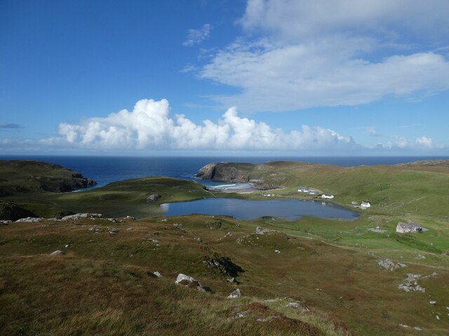
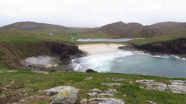
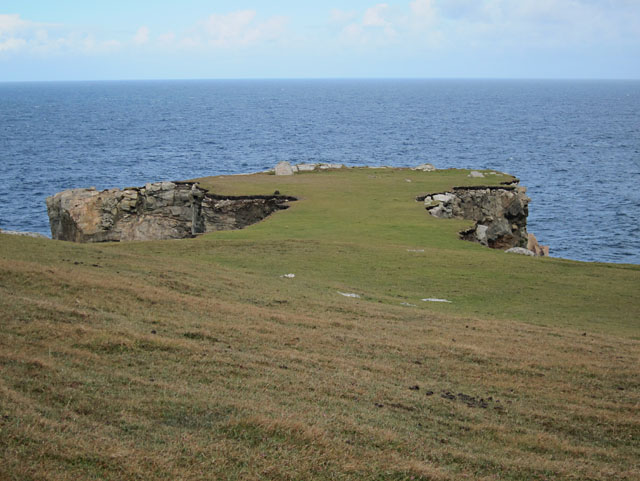
Bàgh Dhail Mòr, also known as Bayfield Bay, is a picturesque coastal area located in the county of Ross-shire, Scotland. Situated on the east coast of the Northern Highlands, this bay offers stunning views of the North Sea and is surrounded by breathtaking natural beauty.
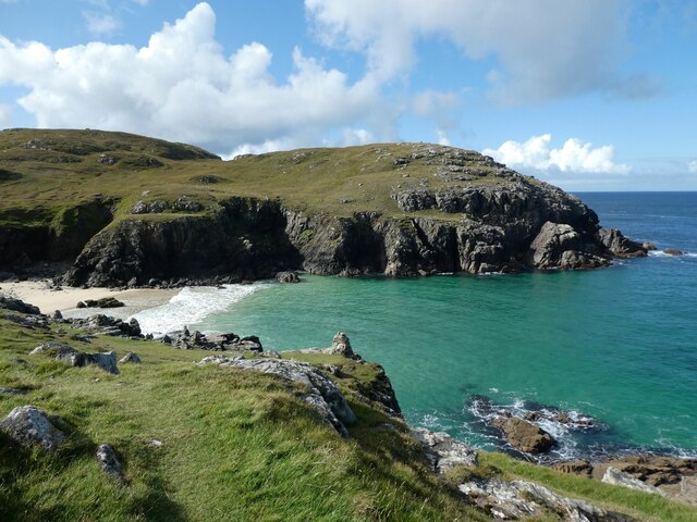
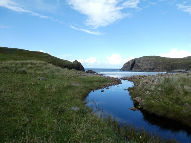
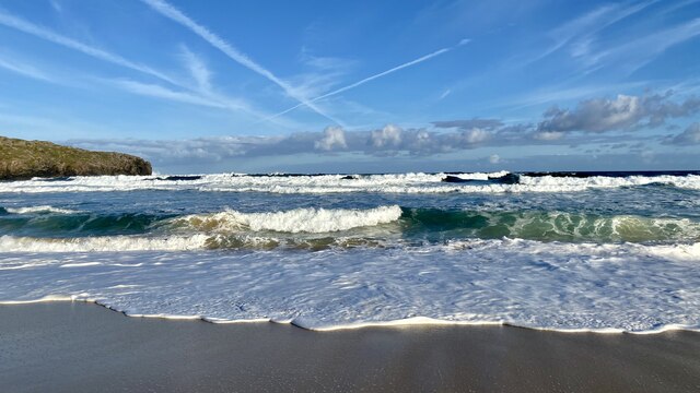
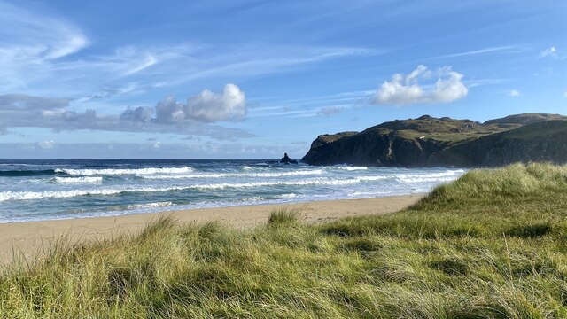
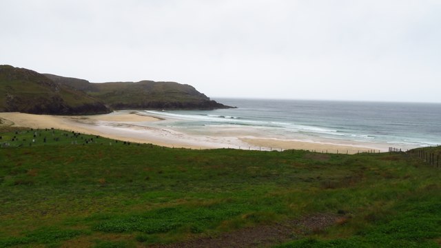
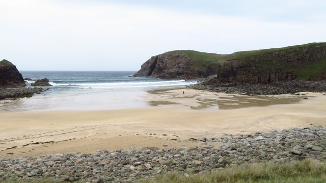
The bay is characterized by its wide sandy beach, which stretches for approximately 2 kilometers. The sand is soft and golden, making it a popular destination for beachgoers and a perfect spot for sunbathing, picnicking, and leisurely walks along the shore. The crystal-clear waters of the bay are ideal for swimming and water sports, attracting both locals and tourists alike.
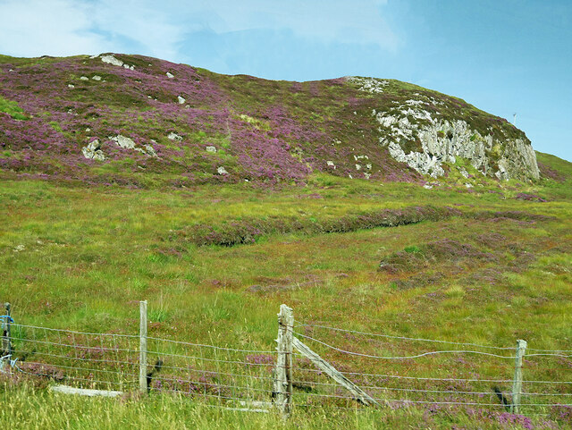
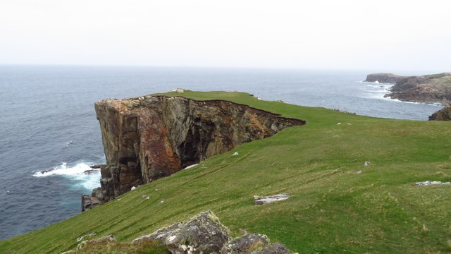
Surrounded by rolling hills and lush greenery, Bàgh Dhail Mòr offers a peaceful and serene atmosphere. The area is rich in wildlife, with various bird species frequently spotted along the coast, including cormorants, oystercatchers, and gulls. Seals can occasionally be seen basking on the rocks near the bay.
For those interested in history and culture, there are several nearby attractions to explore. The ruins of the historic Eilean Donan Castle, one of Scotland's most iconic landmarks, are just a short drive away. Additionally, the nearby village of Plockton offers charming whitewashed cottages and traditional Scottish hospitality.
Overall, Bàgh Dhail Mòr is a hidden gem on the Scottish coast, offering visitors a chance to relax in a tranquil setting while enjoying the beauty of nature. Whether you're seeking a day of beach fun, wildlife spotting, or exploring the local history, this bay has something to offer everyone.
If you have any feedback on the listing, please let us know in the comments section below.
Bàgh Dhail Mòr Images
Images are sourced within 2km of 58.308229/-6.7587194 or Grid Reference NB2145. Thanks to Geograph Open Source API. All images are credited.


Bàgh Dhail Mòr is located at Grid Ref: NB2145 (Lat: 58.308229, Lng: -6.7587194)
Unitary Authority: Na h-Eileanan an Iar
Police Authority: Highlands and Islands
Also known as: Dalmore Bay
What 3 Words
///worlds.undulation.parsnips. Near Carloway, Na h-Eileanan Siar
Related Wikis

Garenin
Garenin (Scottish Gaelic: Na Gearrannan) is a crofting township on the west coast of the Isle of Lewis in the Outer Hebrides of Scotland. Garenin is in...

Carloway
Carloway (Scottish Gaelic: Càrlabhagh [ˈkʰaːɾɫ̪ə.ɤː]) is a crofting township and a district on the west coast of the Isle of Lewis, in the Outer Hebrides...

Siadar Wave Power Station
The Siadar Wave Power Station (also known as Siadar Wave Energy Project or SWEP) was a proposed 4 MW wave farm 400 metres (1,300 ft) off the shore of Siadar...

Borrowston, Lewis
Borrowston (Scottish Gaelic: Borghastan), with a population of about 50, is a crofting township situated on the Isle of Lewis, on the Outer Hebrides of...

Dun Carloway
Dun Carloway (Scottish Gaelic: Dùn Chàrlabhaigh) is a broch situated in the district of Carloway, on the west coast of the Isle of Lewis, Scotland (grid...

Shawbost
Shawbost (Scottish Gaelic: Siabost) is a large village in the West Side of the Isle of Lewis. The village of Shawbost has a population of around 500 and...

Tolsta Chaolais
Tolsta Chaolais (also Tolastadh Chaolais, Tolstadh a' Chaolais) is a village on the Isle of Lewis, Scotland. It consists of about forty houses, clustered...

Campaigh
Campaigh or Campay is a steep and rocky islet in outer Loch Ròg, Lewis, Scotland that lies north of Cealasaigh and Little Bernera. A huge natural arch...
Nearby Amenities
Located within 500m of 58.308229,-6.7587194Have you been to Bàgh Dhail Mòr?
Leave your review of Bàgh Dhail Mòr below (or comments, questions and feedback).