Clachan Ard
Cliff, Slope in Ross-shire
Scotland
Clachan Ard
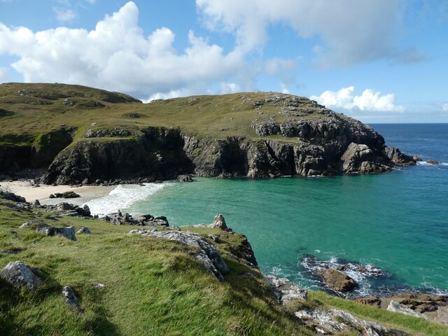
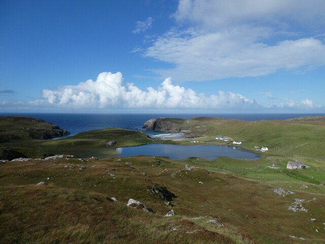
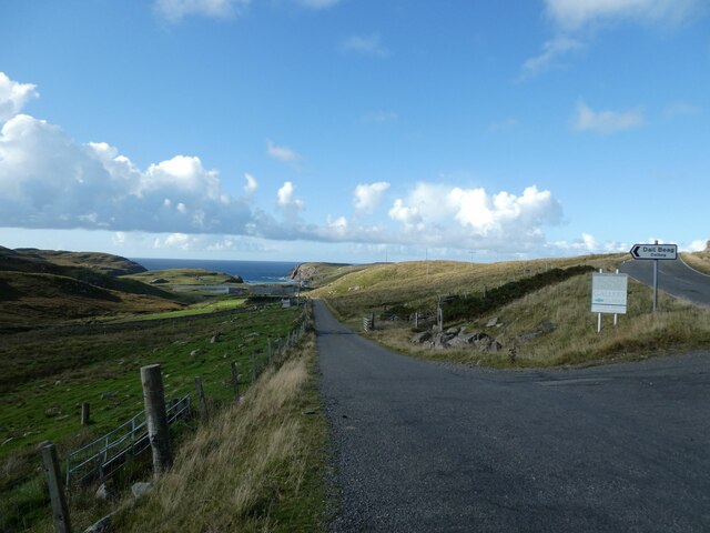
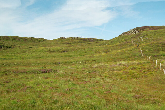
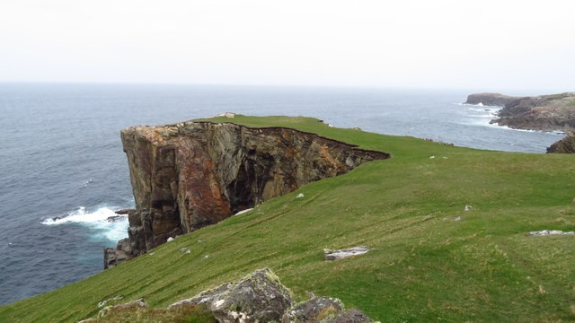
Clachan Ard, located in Ross-shire, Scotland, is a picturesque village nestled atop a steep cliff or slope, hence its name which translates to "Cliff" or "Slope" in Gaelic. The village is set within the stunning Scottish Highlands, offering breathtaking views of the surrounding countryside.
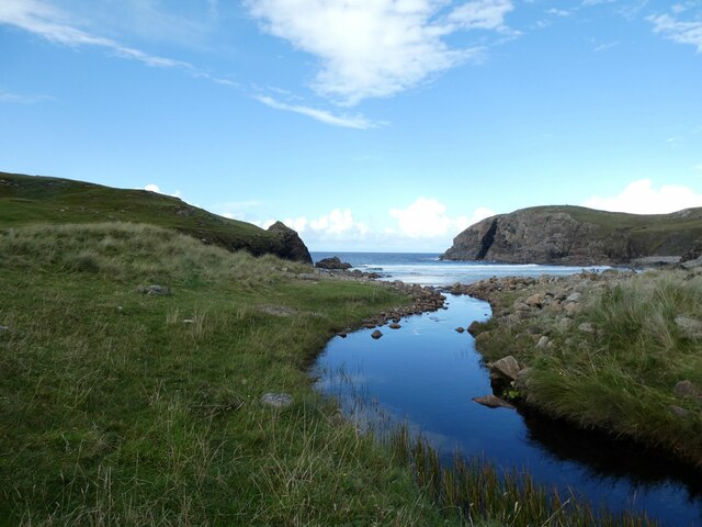
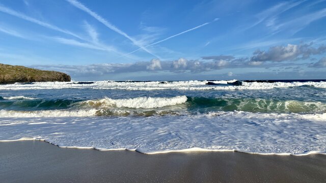
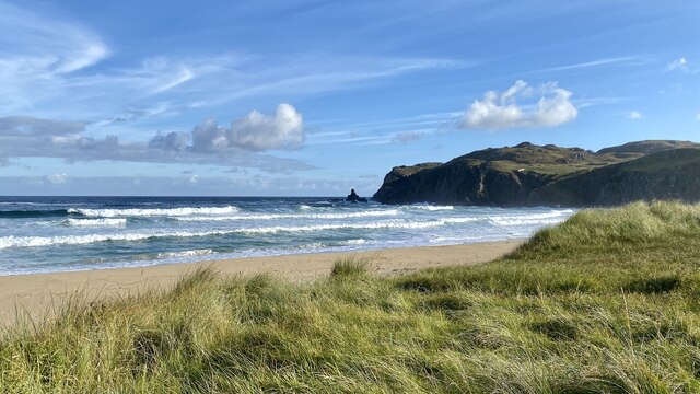
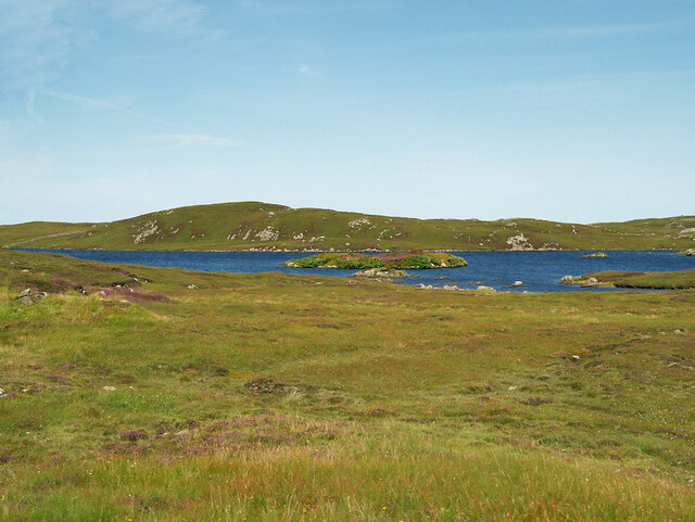
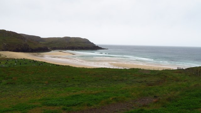
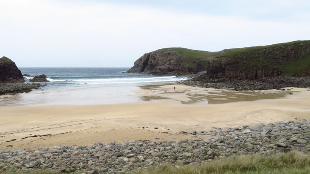
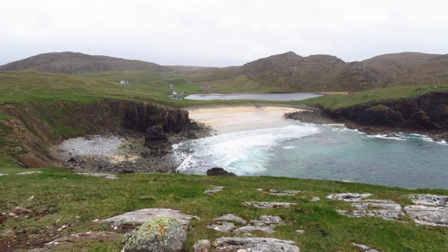
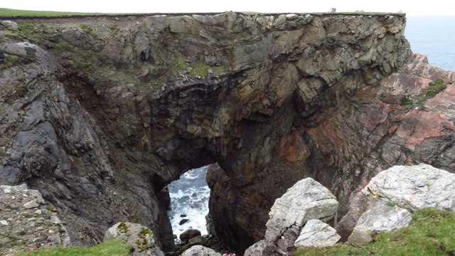
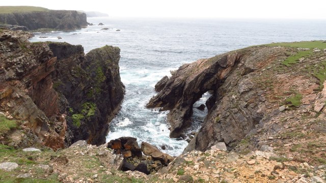
The main feature of Clachan Ard is its rugged terrain, with the village perched on the edge of a steep incline. This natural topography provides residents and visitors with awe-inspiring vistas of the rolling hills, lush forests, and sparkling lochs that characterize the region. The cliff also acts as a natural barrier, providing a sense of seclusion and privacy for the village.
Despite its remote location, Clachan Ard boasts a vibrant community with a rich history and culture. The village is home to a small population, primarily engaged in farming and other traditional rural activities. Residents take great pride in preserving their Gaelic heritage and traditions, which are often celebrated through local festivals and events.
Besides its natural beauty, Clachan Ard offers a range of outdoor activities for nature enthusiasts. The surrounding landscape provides ample opportunities for hiking, mountain biking, and wildlife spotting. The nearby lochs and rivers also attract fishing enthusiasts, while the rugged cliffs offer thrilling opportunities for rock climbing and abseiling.
In terms of amenities, Clachan Ard has a few local shops and services, catering to the needs of the community. However, for a wider range of facilities, residents often travel to nearby towns such as Dingwall or Inverness.
Overall, Clachan Ard is a hidden gem in the Scottish Highlands, offering a tranquil and picturesque setting for those seeking a retreat in nature.
If you have any feedback on the listing, please let us know in the comments section below.
Clachan Ard Images
Images are sourced within 2km of 58.317107/-6.7413325 or Grid Reference NB2246. Thanks to Geograph Open Source API. All images are credited.


Clachan Ard is located at Grid Ref: NB2246 (Lat: 58.317107, Lng: -6.7413325)
Unitary Authority: Na h-Eileanan an Iar
Police Authority: Highlands and Islands
What 3 Words
///protrude.occupiers.acted. Near Carloway, Na h-Eileanan Siar
Nearby Locations
Related Wikis

Siadar Wave Power Station
The Siadar Wave Power Station (also known as Siadar Wave Energy Project or SWEP) was a proposed 4 MW wave farm 400 metres (1,300 ft) off the shore of Siadar...

Shawbost
Shawbost (Scottish Gaelic: Siabost) is a large village in the West Side of the Isle of Lewis. The village of Shawbost has a population of around 500 and...

Garenin
Garenin (Scottish Gaelic: Na Gearrannan) is a crofting township on the west coast of the Isle of Lewis in the Outer Hebrides of Scotland. Garenin is in...

Carloway
Carloway (Scottish Gaelic: Càrlabhagh [ˈkʰaːɾɫ̪ə.ɤː]) is a crofting township and a district on the west coast of the Isle of Lewis, in the Outer Hebrides...
Nearby Amenities
Located within 500m of 58.317107,-6.7413325Have you been to Clachan Ard?
Leave your review of Clachan Ard below (or comments, questions and feedback).