Bàgh Dhail Beag
Bay in Ross-shire
Scotland
Bàgh Dhail Beag
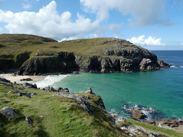
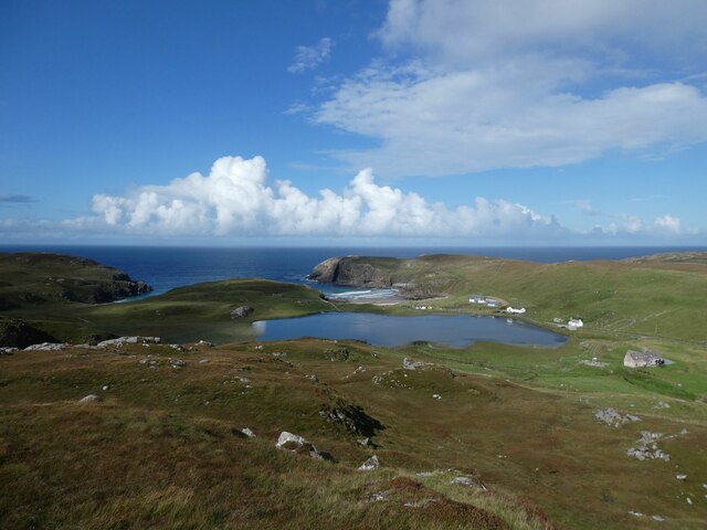
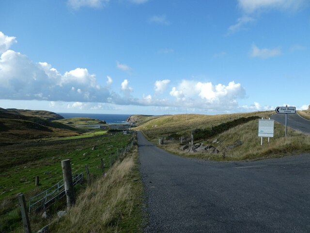
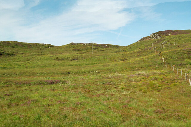
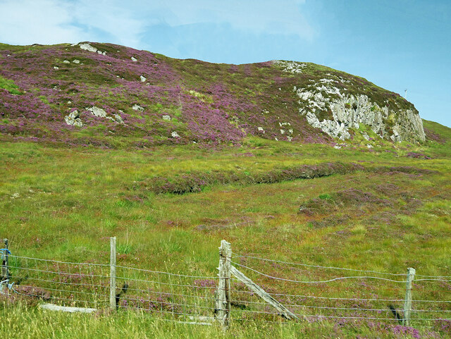
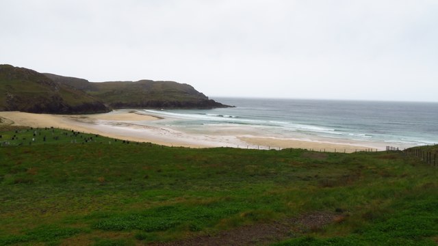
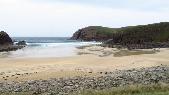
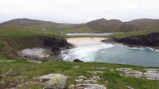
Bàgh Dhail Beag, located in Ross-shire, Scotland, is a picturesque bay that offers breathtaking views and a tranquil atmosphere. Nestled on the western coast of Scotland, this bay is surrounded by stunning natural beauty and is a popular destination for nature lovers and outdoor enthusiasts.
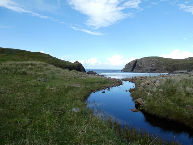
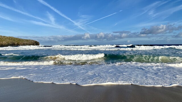
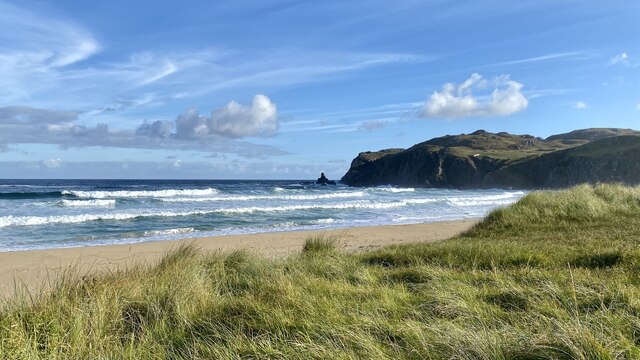
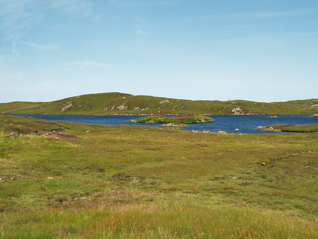
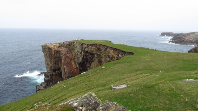
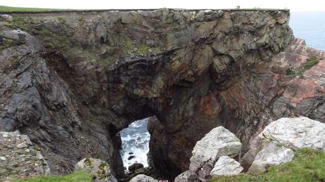
The bay is characterized by its pristine sandy beaches, clear turquoise waters, and rugged cliffs. Its remote location provides a sense of seclusion and serenity, making it an ideal spot for relaxation and solitude. Visitors can enjoy long walks along the shoreline, take in the panoramic views of the surrounding hills and mountains, or simply sit back and enjoy the peaceful ambiance.
The bay is also a haven for wildlife, with a variety of bird species and marine life inhabiting its waters. Birdwatchers can spot a range of seabirds such as gannets, puffins, and razorbills, while seals and dolphins are often spotted frolicking in the bay.
For those seeking adventure, Bàgh Dhail Beag offers excellent opportunities for water sports such as kayaking, paddleboarding, and sailing. The bay's calm and sheltered waters make it an ideal spot for beginners or those looking for a leisurely day on the water.
Overall, Bàgh Dhail Beag is a hidden gem along Scotland's rugged coastline, offering visitors a chance to connect with nature, unwind, and experience the region's stunning natural beauty.
If you have any feedback on the listing, please let us know in the comments section below.
Bàgh Dhail Beag Images
Images are sourced within 2km of 58.315047/-6.7413297 or Grid Reference NB2246. Thanks to Geograph Open Source API. All images are credited.


Bàgh Dhail Beag is located at Grid Ref: NB2246 (Lat: 58.315047, Lng: -6.7413297)
Unitary Authority: Na h-Eileanan an Iar
Police Authority: Highlands and Islands
Also known as: Dalbeg Bay
What 3 Words
///pills.rewrites.cycled. Near Carloway, Na h-Eileanan Siar
Nearby Locations
Related Wikis

Siadar Wave Power Station
The Siadar Wave Power Station (also known as Siadar Wave Energy Project or SWEP) was a proposed 4 MW wave farm 400 metres (1,300 ft) off the shore of Siadar...

Garenin
Garenin (Scottish Gaelic: Na Gearrannan) is a crofting township on the west coast of the Isle of Lewis in the Outer Hebrides of Scotland. Garenin is in...

Shawbost
Shawbost (Scottish Gaelic: Siabost) is a large village in the West Side of the Isle of Lewis. The village of Shawbost has a population of around 500 and...

Carloway
Carloway (Scottish Gaelic: Càrlabhagh [ˈkʰaːɾɫ̪ə.ɤː]) is a crofting township and a district on the west coast of the Isle of Lewis, in the Outer Hebrides...
Nearby Amenities
Located within 500m of 58.315047,-6.7413297Have you been to Bàgh Dhail Beag?
Leave your review of Bàgh Dhail Beag below (or comments, questions and feedback).