Aird Dalbeg
Hill, Mountain in Ross-shire
Scotland
Aird Dalbeg
Aird Dalbeg is a hill/mountain located in Ross-shire, Scotland. It is situated in the northwest part of the country, near the village of Ullapool. Aird Dalbeg has an elevation of approximately 490 meters (1,608 feet) above sea level, making it a prominent feature in the surrounding landscape.
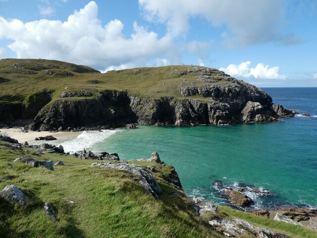
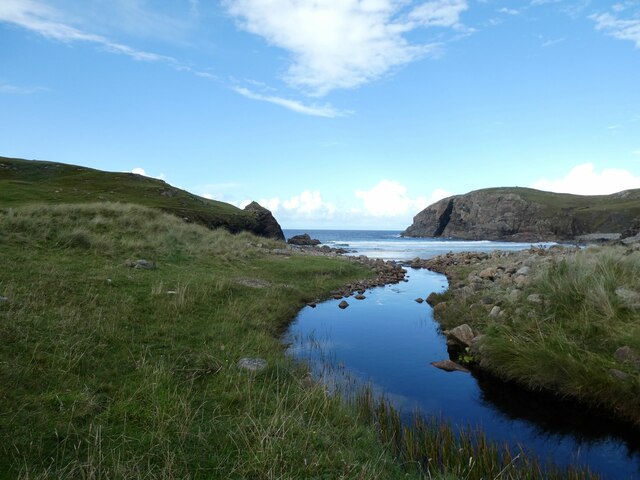
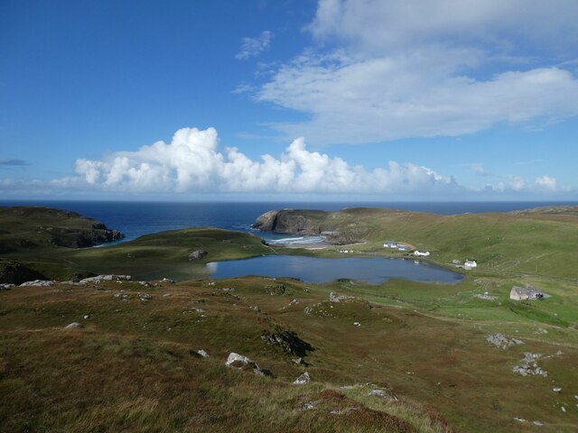
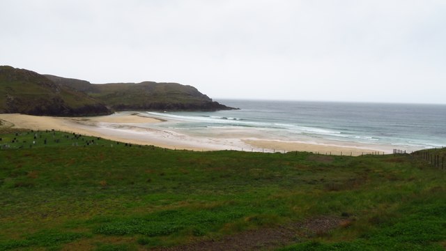
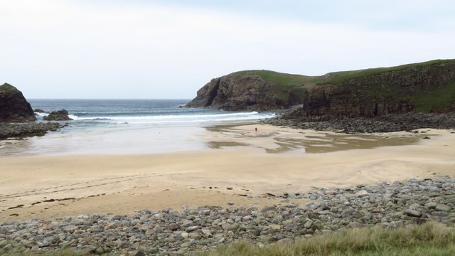
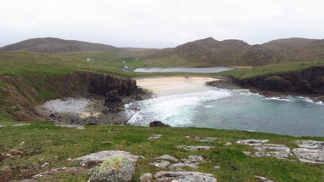
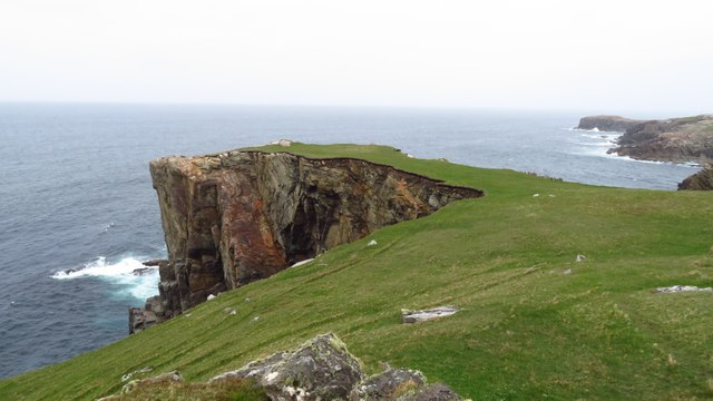
The hill/mountain offers stunning panoramic views of the surrounding area, including the nearby Loch Broom and the mountainous terrain of Wester Ross. Its location near Ullapool makes it easily accessible for hikers and outdoor enthusiasts.
Aird Dalbeg is known for its diverse flora and fauna, with heather, wildflowers, and various grasses covering its slopes. It is also home to a variety of bird species, including golden eagles, peregrine falcons, and red kites. The hill/mountain is often visited by birdwatchers who come to observe and photograph these magnificent creatures in their natural habitat.
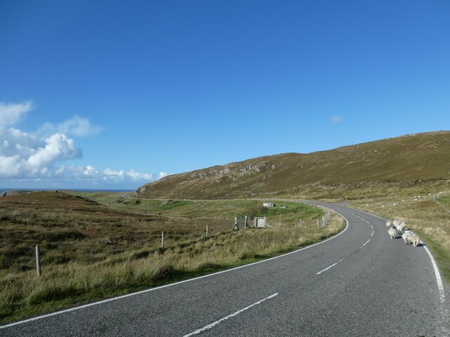
Hiking and climbing are popular activities on Aird Dalbeg, with several trails and routes available for different skill levels. The hill/mountain offers a challenging ascent, but the effort is rewarded with breathtaking views from the summit. It is advisable for hikers to be well-prepared and equipped with appropriate gear, as the weather conditions can be unpredictable and change rapidly.
In conclusion, Aird Dalbeg in Ross-shire is a beautiful hill/mountain that offers panoramic views, diverse flora and fauna, and outdoor activities for all nature enthusiasts.
If you have any feedback on the listing, please let us know in the comments section below.
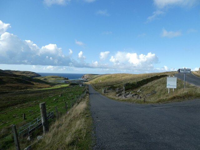
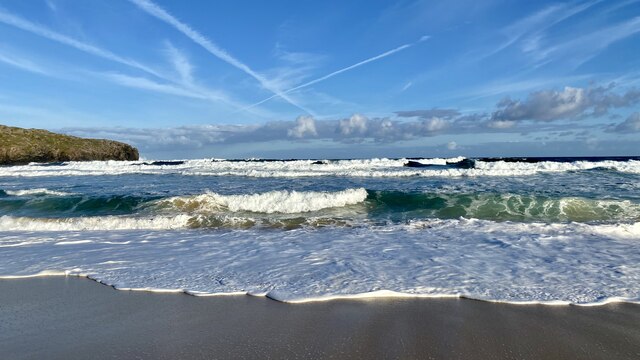
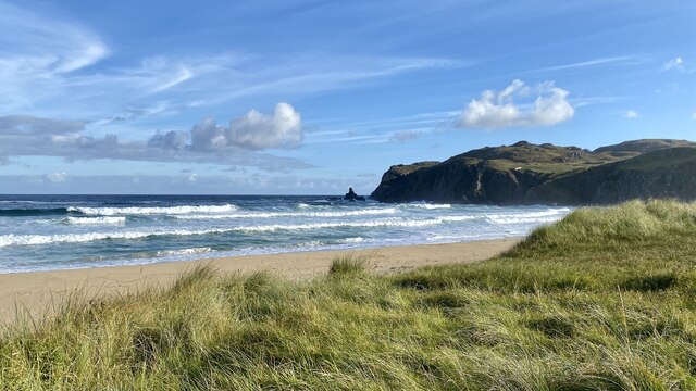
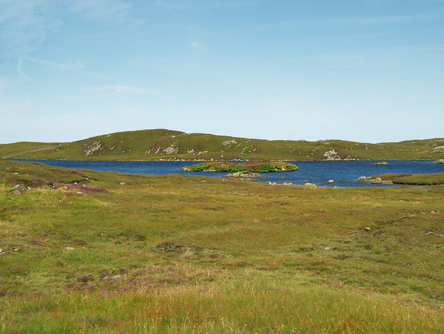
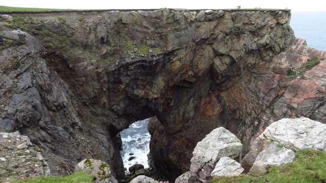
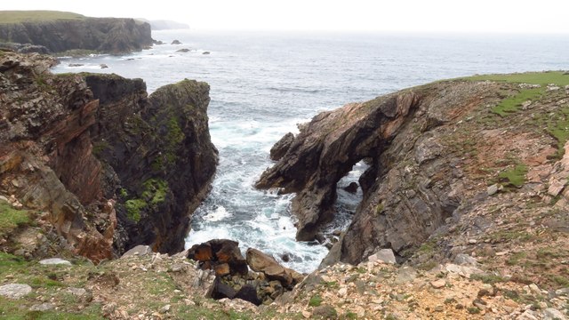
Aird Dalbeg Images
Images are sourced within 2km of 58.318526/-6.7375054 or Grid Reference NB2246. Thanks to Geograph Open Source API. All images are credited.


Aird Dalbeg is located at Grid Ref: NB2246 (Lat: 58.318526, Lng: -6.7375054)
Unitary Authority: Na h-Eileanan an Iar
Police Authority: Highlands and Islands
What 3 Words
///trickle.bared.variation. Near Carloway, Na h-Eileanan Siar
Nearby Locations
Related Wikis

Shawbost
Shawbost (Scottish Gaelic: Siabost) is a large village in the West Side of the Isle of Lewis. The village of Shawbost has a population of around 500 and...

Siadar Wave Power Station
The Siadar Wave Power Station (also known as Siadar Wave Energy Project or SWEP) was a proposed 4 MW wave farm 400 metres (1,300 ft) off the shore of Siadar...

Garenin
Garenin (Scottish Gaelic: Na Gearrannan) is a crofting township on the west coast of the Isle of Lewis in the Outer Hebrides of Scotland. Garenin is in...

Carloway
Carloway (Scottish Gaelic: Càrlabhagh [ˈkʰaːɾɫ̪ə.ɤː]) is a crofting township and a district on the west coast of the Isle of Lewis, in the Outer Hebrides...
Nearby Amenities
Located within 500m of 58.318526,-6.7375054Have you been to Aird Dalbeg?
Leave your review of Aird Dalbeg below (or comments, questions and feedback).