Cymyran Bay
Bay in Anglesey
Wales
Cymyran Bay
Cymyran Bay is a picturesque bay located on the western coast of Anglesey, an island off the northwest coast of Wales. With its stunning natural beauty and tranquil atmosphere, it has become a popular destination for locals and tourists alike.
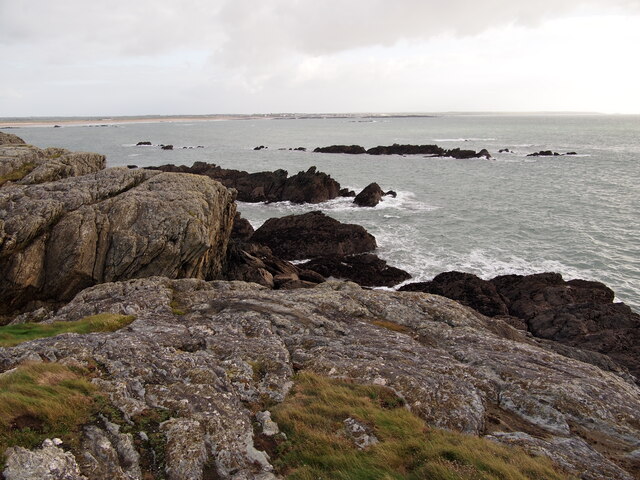
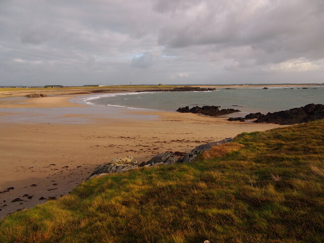
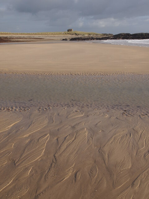
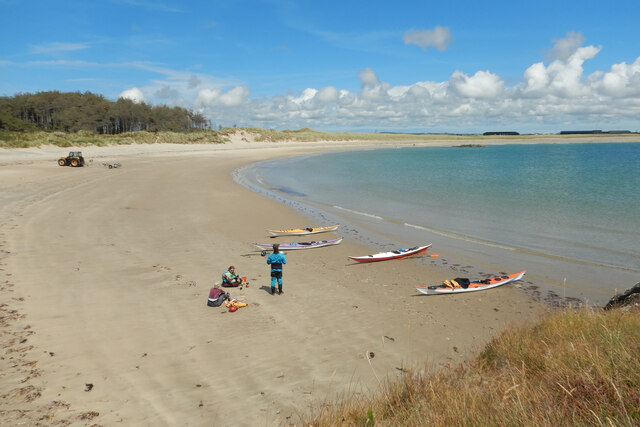
The bay stretches for approximately 3 miles and is surrounded by rolling sand dunes, rugged cliffs, and crystal-clear waters. The bay is known for its expansive sandy beach, which provides ample space for leisurely walks, sunbathing, and various water activities. The sand is soft and golden, making it perfect for building sandcastles or simply relaxing and taking in the breathtaking views.
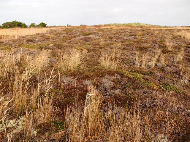
Cymyran Bay is also a haven for wildlife enthusiasts. Its diverse ecosystem attracts a wide range of bird species, including terns, oystercatchers, and curlews. Birdwatchers can often spot these feathered creatures soaring above the bay or nesting in the nearby dunes.
The bay is also renowned for its surfing conditions, attracting surfers of all levels. The waves are known to be consistent and powerful, offering an exciting experience for those seeking an adrenaline rush. Additionally, the bay is a popular spot for kite-surfing, windsurfing, and kayaking.
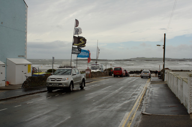
Visitors to Cymyran Bay can enjoy stunning sunsets over the Irish Sea, creating a serene and romantic atmosphere. The bay is easily accessible, with nearby parking facilities and a coastal footpath that allows for scenic walks along the coastline.
Overall, Cymyran Bay is a hidden gem on Anglesey, offering a peaceful retreat and a chance to connect with nature in a stunning coastal setting.
If you have any feedback on the listing, please let us know in the comments section below.
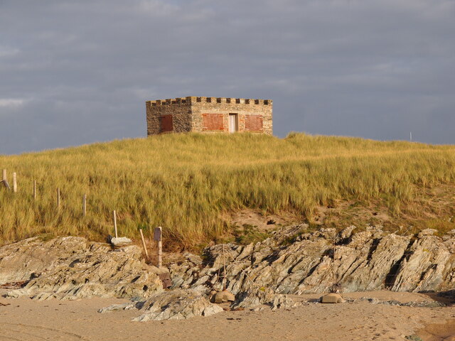
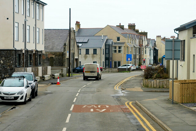
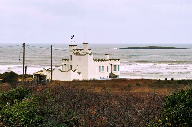
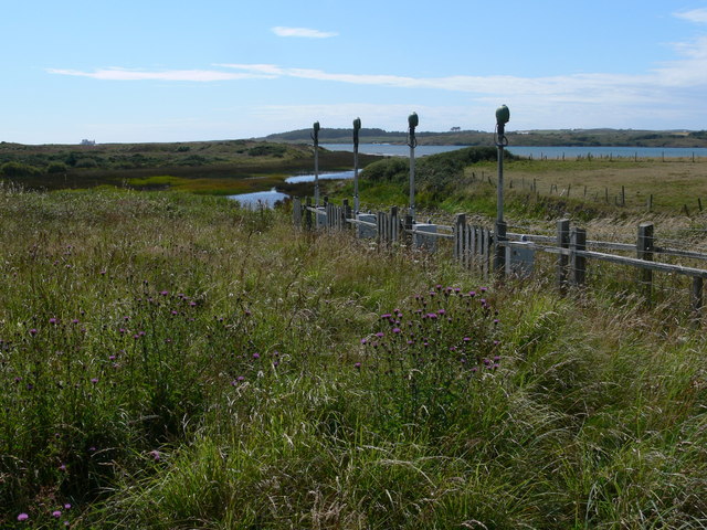
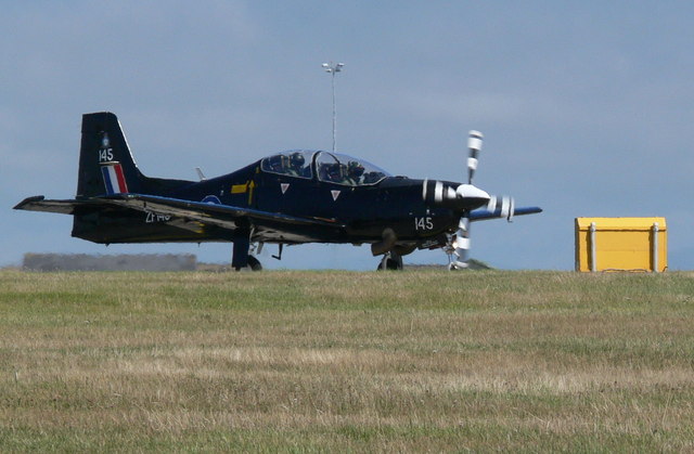
Cymyran Bay Images
Images are sourced within 2km of 53.24139/-4.5423222 or Grid Reference SH3074. Thanks to Geograph Open Source API. All images are credited.
Cymyran Bay is located at Grid Ref: SH3074 (Lat: 53.24139, Lng: -4.5423222)
Unitary Authority: Isle of Anglesey
Police Authority: North Wales
Also known as: Traeth Cymyran
What 3 Words
///dash.vintages.jammy. Near Rhosneigr, Isle of Anglesey
Nearby Locations
Related Wikis

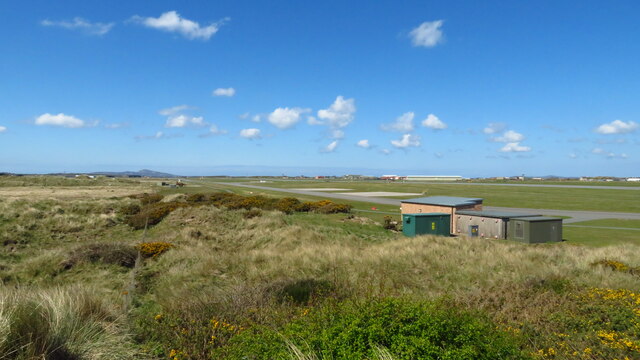
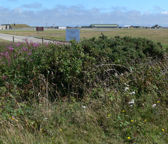
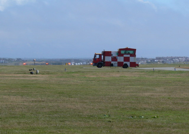
Anglesey Airport
Anglesey Airport (Welsh: Maes Awyr Ynys Môn) (IATA: VLY, ICAO: EGOV) is an airport owned by the Isle of Anglesey County Council on land leased from the...

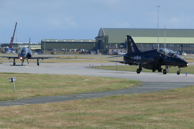
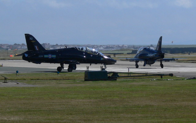
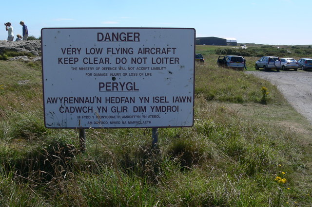
RAF Valley
Royal Air Force Valley or more simply RAF Valley (Welsh: Llu Awyr Brenhinol Y Fali) (IATA: VLY, ICAO: EGOV) is a Royal Air Force station on the island...

Ynys Feurig
Ynys Feurig (also spelt Ynys Feirig) is the name for a set of three small inter-connected low-lying inshore tidal rocky islets (3.1 ha in extent), lying...
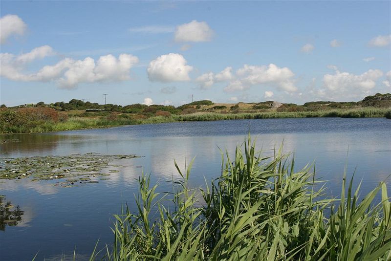
Llyn Cerrig Bach
Llyn Cerrig Bach is a small lake located between Rhosneigr and Valley in the west of Anglesey, Wales. Whilst it is not one of the largest lakes on the...
Have you been to Cymyran Bay?
Leave your review of Cymyran Bay below (or comments, questions and feedback).