South Bay
Bay in Yorkshire
England
South Bay
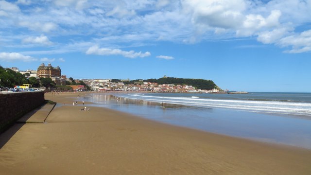
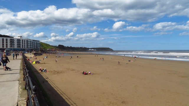
South Bay, also known as Bay, is a charming seaside town located in Yorkshire, England. Situated on the eastern coast, it forms a part of the larger town of Scarborough. South Bay is known for its stunning sandy beach, picturesque views, and vibrant atmosphere.
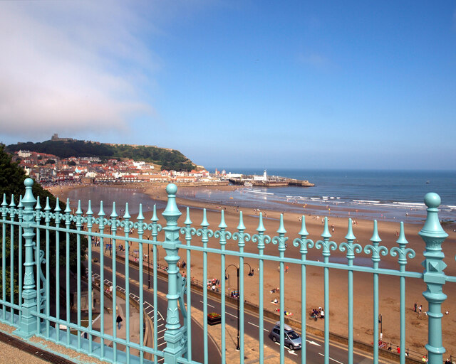
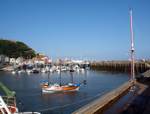
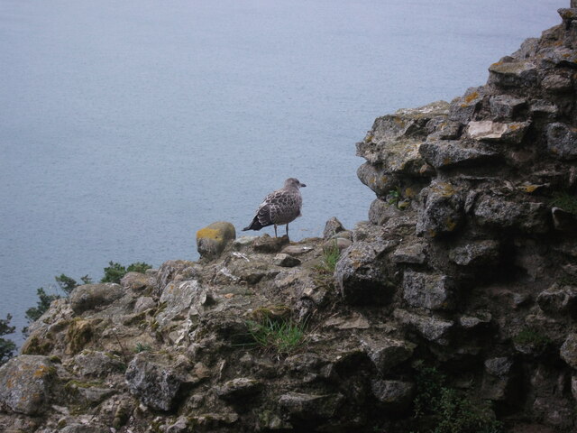
The beach at South Bay stretches for miles, offering visitors ample space to relax and enjoy the sun. The soft golden sand is perfect for building sandcastles, taking leisurely strolls, or simply soaking up the coastal ambiance. The beach is also popular among water sports enthusiasts, with opportunities for swimming, surfing, and jet-skiing.
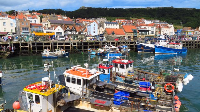
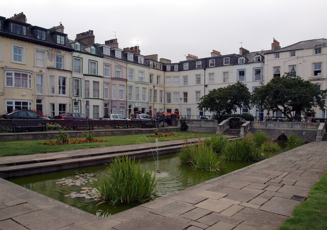
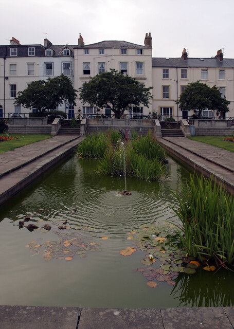
The town itself boasts a bustling promenade filled with shops, cafes, and amusement arcades. Visitors can take a leisurely stroll along the promenade, enjoying the sea breeze and the scent of fish and chips wafting through the air. South Bay is also home to a variety of restaurants and pubs serving delicious local cuisine.
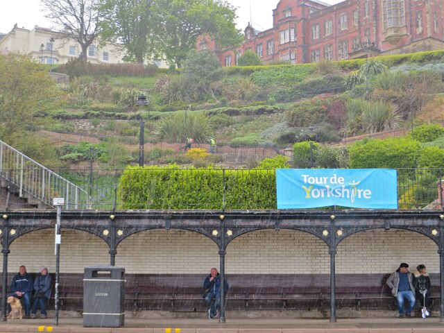
For those seeking a bit of culture, the town offers several attractions. The Scarborough Spa Complex, a historic venue, hosts a range of concerts, shows, and events throughout the year. The Rotunda Museum, a fascinating geological museum, showcases the area's rich natural history and is a must-visit for history enthusiasts.
South Bay is a popular destination for families, couples, and solo travelers alike. Its beautiful beach, lively atmosphere, and range of activities make it an ideal spot for a seaside getaway. Whether it's lounging on the beach, exploring the town's attractions, or simply enjoying the coastal ambiance, South Bay has something to offer everyone.
If you have any feedback on the listing, please let us know in the comments section below.
South Bay Images
Images are sourced within 2km of 54.277728/-0.39183627 or Grid Reference TA0488. Thanks to Geograph Open Source API. All images are credited.


South Bay is located at Grid Ref: TA0488 (Lat: 54.277728, Lng: -0.39183627)
Division: North Riding
Administrative County: North Yorkshire
Police Authority: North Yorkshire
What 3 Words
///rising.depend.dock. Near Scarborough, North Yorkshire
Nearby Locations
Related Wikis

Rotunda Museum
The Rotunda Museum is one of the oldest purpose-built museums still in use in the United Kingdom. The curved grade II* listed building was constructed...
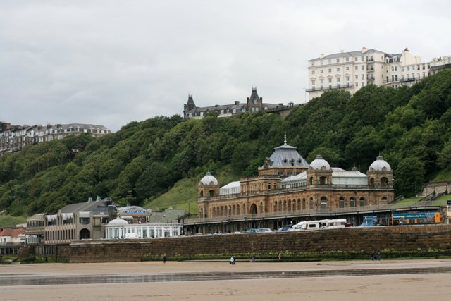
The Spa, Scarborough
Scarborough Spa is a Grade II* listed building in South Bay, Scarborough, North Yorkshire, England. It is a venue for conferences, exhibitions, entertainment...

Cliff Bridge, Scarborough
The Cliff Bridge, previously known as the Spa Bridge, is a footbridge in Scarborough, North Yorkshire, England. Spanning the valley from St Nicholas Cliff...

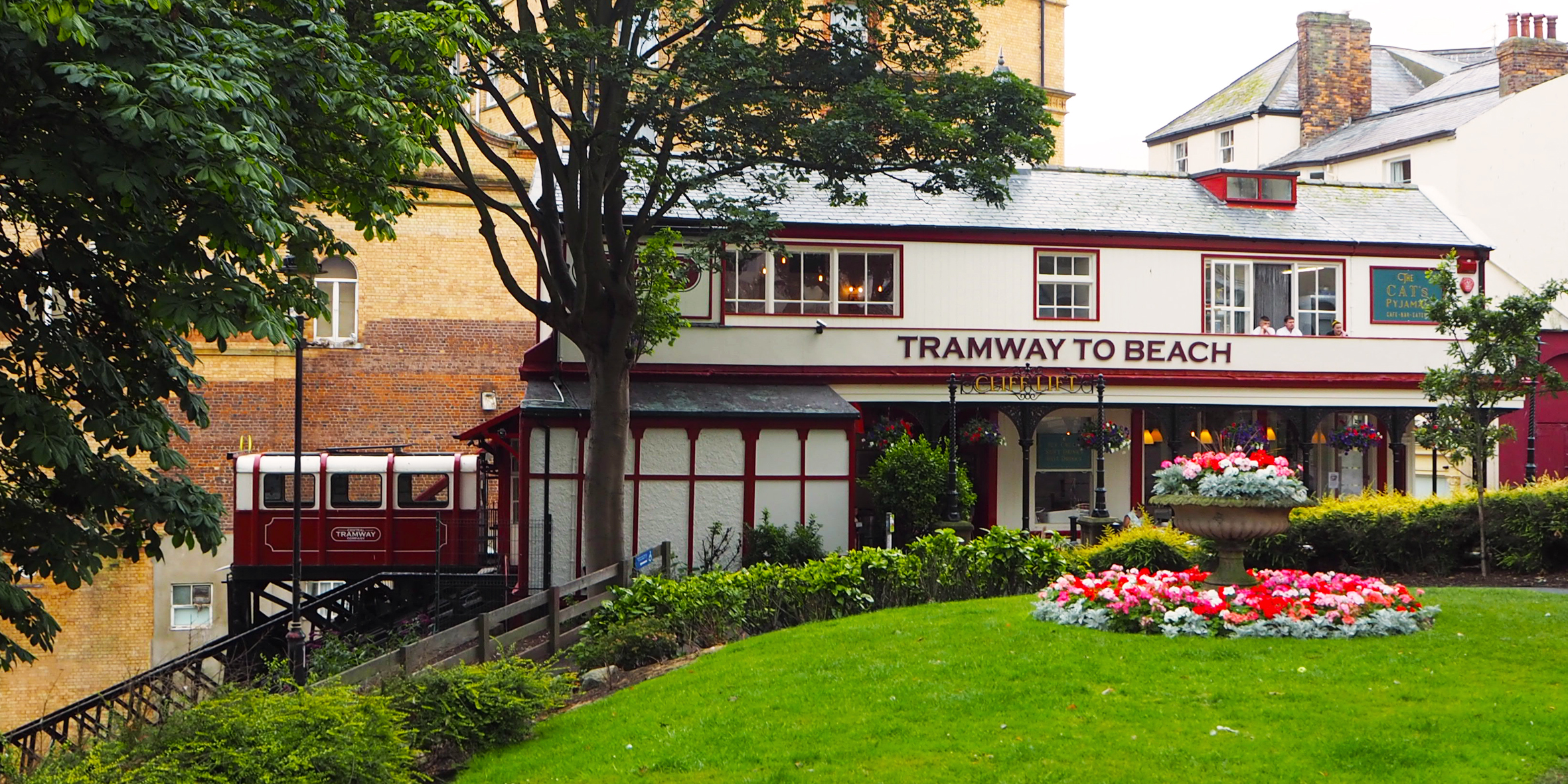
Central Tramway Company, Scarborough
The Central Tramway Company is an electric-powered funicular railway located in the holiday resort of Scarborough, North Yorkshire. The company has the...

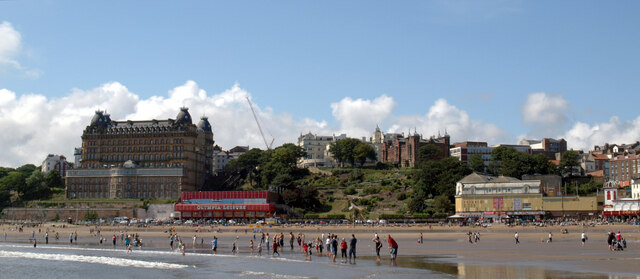
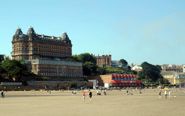
Grand Hotel, Scarborough
The Grand Hotel is a large hotel in Scarborough, North Yorkshire, England, overlooking the town's South Bay. It is a Grade II* listed building and owned...
Scarborough funiculars
The British town of Scarborough has had a total of five cliff railways, or funiculars, two of which are presently operational. The town is home to the...

Crown Spa Hotel
The Crown Spa Hotel (formerly the Crown Hotel) is a large hotel in Scarborough, North Yorkshire, England, overlooking the town's South Bay. Built in 1844...

Futurist Theatre
The Futurist Theatre was a theatre and cinema in Scarborough, North Yorkshire, England. It was located on Foreshore Road, on the sea front of the South...
Nearby Amenities
Located within 500m of 54.277728,-0.39183627Have you been to South Bay?
Leave your review of South Bay below (or comments, questions and feedback).