South Sands
Beach in Yorkshire Scarborough
England
South Sands
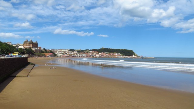
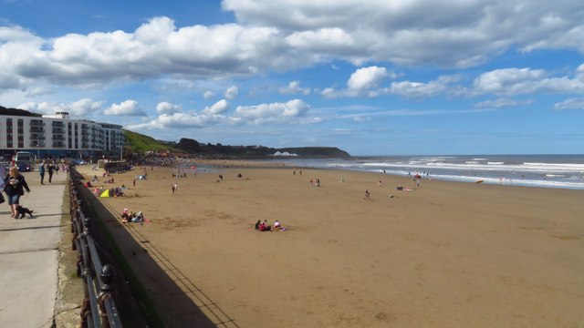
South Sands is a picturesque beach located in Yorkshire, England. It is situated on the eastern coast, specifically within the Scarborough district. The beach is known for its stunning natural beauty and tranquil atmosphere, making it a popular destination for locals and tourists alike.
Stretching over a mile in length, South Sands boasts soft golden sands and clear blue waters, creating an idyllic setting for sunbathing, picnicking, and leisurely walks along the shore. The beach is surrounded by rugged cliffs and green hills, adding to its charm and providing breathtaking views of the surrounding coastline.
South Sands is also a haven for wildlife enthusiasts, as it is home to a diverse range of flora and fauna. Seabirds can often be spotted soaring above the water, while rock pools teem with fascinating marine life such as crabs, starfish, and small fish. The beach is a designated nature reserve, ensuring the protection and preservation of its unique ecosystem.
Facilities at South Sands are well-maintained and cater to the needs of visitors. There are ample parking spaces available nearby, and public toilets are conveniently located for convenience. Lifeguards patrol the beach during peak season, ensuring the safety of swimmers and water sports enthusiasts.
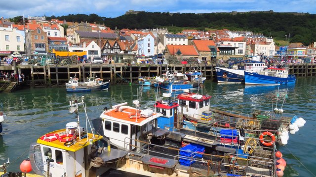
Additionally, South Sands offers easy access to various amenities and attractions. The nearby town of Scarborough provides a wide range of accommodations, restaurants, and shops, allowing visitors to enjoy a comfortable and enjoyable stay.
Overall, South Sands is a peaceful and scenic beach that offers a delightful escape from the hustle and bustle of everyday life. With its natural beauty and abundant wildlife, it is a must-visit destination for nature lovers and those seeking a relaxing seaside getaway.
If you have any feedback on the listing, please let us know in the comments section below.
South Sands Images
Images are sourced within 2km of 54.28167/-0.39426337 or Grid Reference TA0488. Thanks to Geograph Open Source API. All images are credited.


South Sands is located at Grid Ref: TA0488 (Lat: 54.28167, Lng: -0.39426337)
Division: North Riding
Administrative County: North Yorkshire
District: Scarborough
Police Authority: North Yorkshire
What 3 Words
///they.gain.race. Near Scarborough, North Yorkshire
Nearby Locations
Related Wikis

Futurist Theatre
The Futurist Theatre was a theatre and cinema in Scarborough, North Yorkshire, England. It was located on Foreshore Road, on the sea front of the South...

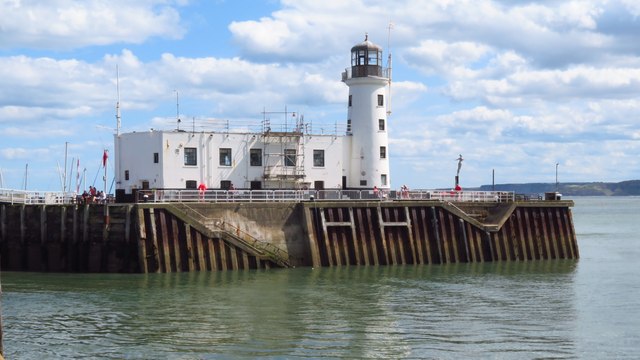
Scarborough Lifeboat Station
Scarborough Lifeboat Station is a Royal National Lifeboat Institution (RNLI) operated lifeboat station in Scarborough, North Yorkshire, England. A lifeboat...

Scarborough Maritime Heritage Centre
The Scarborough Maritime Heritage Centre (SMHC), is a museum situated in Scarborough, North Yorkshire, England, and opened on 12 December 2009. The centre...

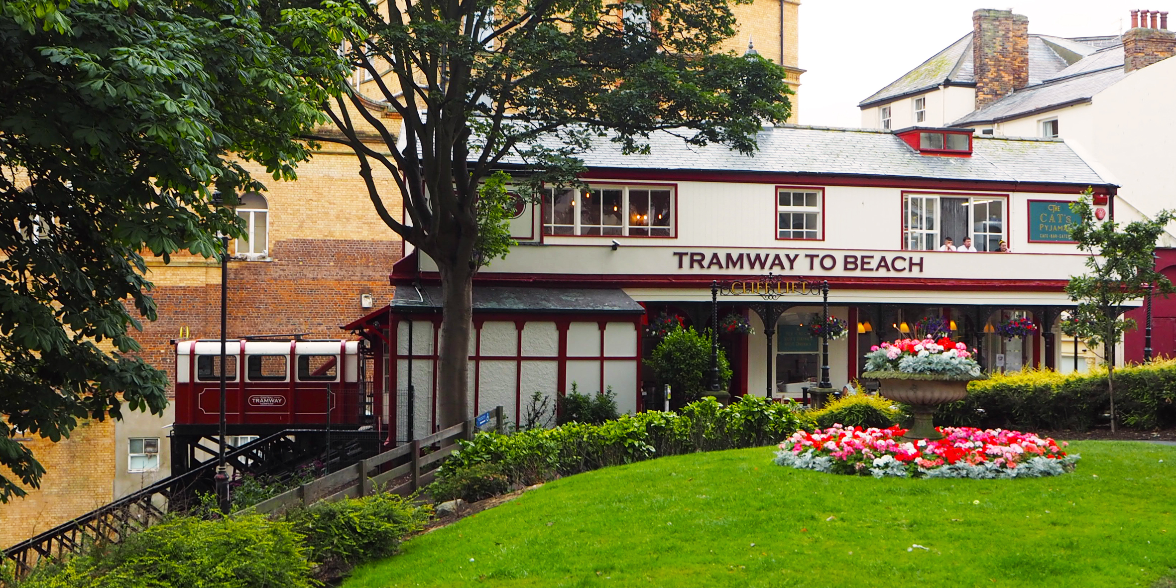
Central Tramway Company, Scarborough
The Central Tramway Company is an electric-powered funicular railway located in the holiday resort of Scarborough, North Yorkshire. The company has the...
Scarborough funiculars
The British town of Scarborough has had a total of five cliff railways, or funiculars, two of which are presently operational. The town is home to the...

Scarborough Town Hall
Scarborough Town Hall, originally St Nicholas House, is a red brick Jacobean Revival mansion in Scarborough, North Yorkshire, England, currently used as...

Grand Hotel, Scarborough
The Grand Hotel is a large hotel in Scarborough, North Yorkshire, England, overlooking the town's South Bay. It is a Grade II* listed building and owned...

Rotunda Museum
The Rotunda Museum is one of the oldest purpose-built museums still in use in the United Kingdom. The curved grade II* listed building was constructed...
Nearby Amenities
Located within 500m of 54.28167,-0.39426337Have you been to South Sands?
Leave your review of South Sands below (or comments, questions and feedback).