Bay of Furrowend

Bay in Orkney

Scotland

Bay of Furrowend

Banks of Runabout Several Nissen Huts stand as reminder of WWII activities in this area which housed a coastal battery to protect Kirkwall.
Banks of Runabout Credit: Andy Farrington

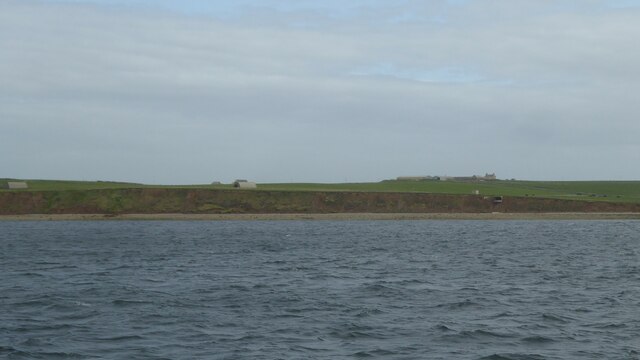
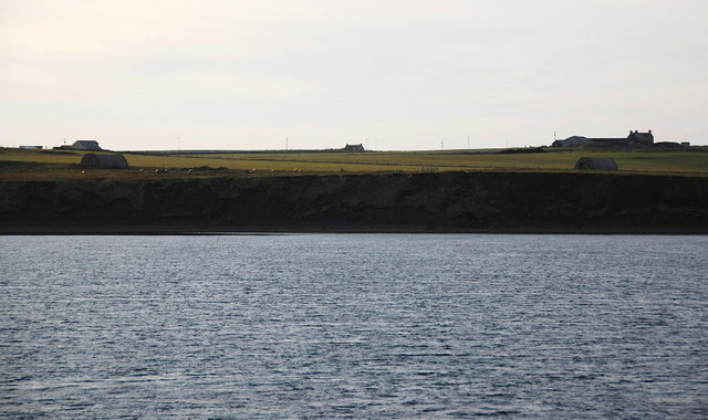
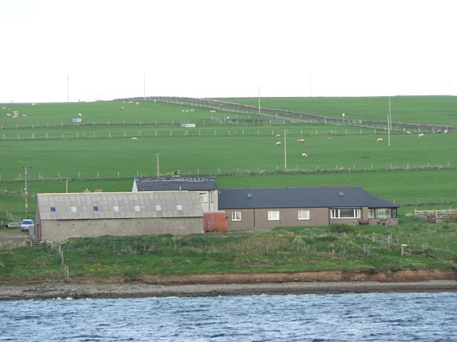
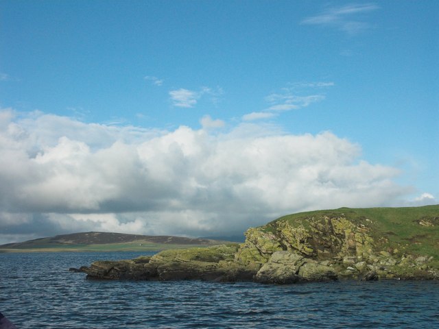
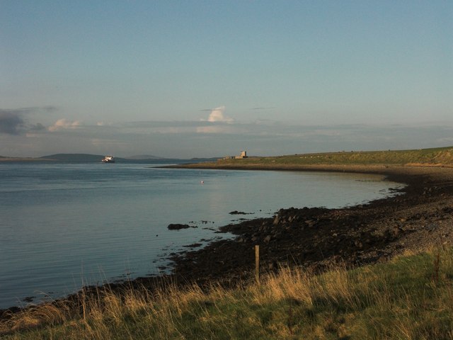
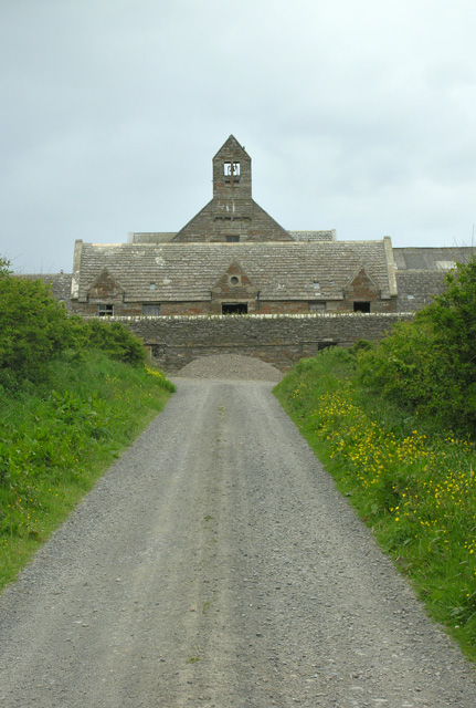
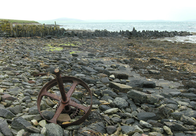
The Bay of Furrowend is a picturesque bay located on the northeastern coast of the Orkney Islands in Scotland. Situated between the towns of Birsay and Evie, it offers stunning panoramic views of the North Sea and the surrounding rugged coastline. The bay stretches for approximately 2 kilometers and is characterized by its sandy beaches, towering cliffs, and rocky outcrops.

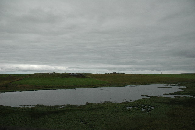
The bay is known for its rich marine biodiversity, making it a popular spot for birdwatching and wildlife enthusiasts. Visitors can observe a variety of seabirds, including puffins, guillemots, and fulmars, nesting along the cliffs. The area is also home to seals, dolphins, and occasionally, whales, which can be spotted from the shore or during boat trips.

The Bay of Furrowend is steeped in history, with various archaeological sites scattered throughout the area. The nearby Brough of Birsay, a small tidal island, features the remains of an ancient Norse settlement and a medieval church. The bay itself was once a busy Viking trading route and is believed to have been used as a harbor for their longships.

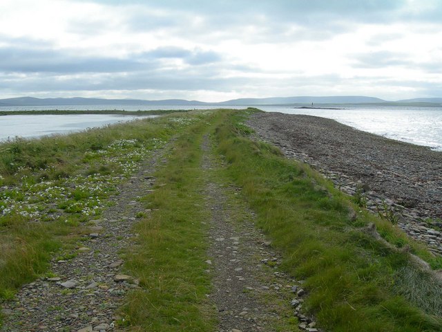
Access to the Bay of Furrowend is relatively easy, with a car park located nearby and a well-maintained footpath leading down to the beach. The bay provides an ideal location for leisurely walks, picnics, and beachcombing. Visitors can also explore the nearby cliffs and caves, which offer a sense of adventure and tranquility.

If you have any feedback on the listing, please let us know in the comments section below.

Bay of Furrowend Images

Images are sourced within 2km of 59.054741/-2.921675 or Grid Reference HY4719. Thanks to Geograph Open Source API. All images are credited.

Banks of Runabout Several Nissen Huts stand as reminder of WWII activities in this area which housed a coastal battery to protect Kirkwall.
Banks of Runabout
Several Nissen Huts stand as reminder of WWII activities in this area which housed a coastal battery to protect Kirkwall.
Banks of Runabout Low cliffs and a precariously placed building on the north side of Shapinsay.
Banks of Runabout
Low cliffs and a precariously placed building on the north side of Shapinsay.
Banks of Runabout The steep sandy banks don't look very stable. On top is one of the Nissen huts supporting the coastal defences on Salt Ness.
Banks of Runabout
The steep sandy banks don't look very stable. On top is one of the Nissen huts supporting the coastal defences on Salt Ness.
Coastal erosion at Banks of Runabout
Garth This is the last farm on the north end of the western tip on Shapinsay.
Garth
This is the last farm on the north end of the western tip on Shapinsay.
Coastal erosion The soft cliffs are collapsing and eroding away. A worry as the remains of a wartime coastal battery lie here and some of the features are in danger of collapsing into the sea. The buildings in the middle distance, looking a little like Nissen huts, will have been generator houses for searchlights etc.
Coastal erosion
The soft cliffs are collapsing and eroding away. A worry as the remains of a wartime coastal battery lie here and some of the features are in danger of collapsing into the sea. The buildings in the middle distance, looking a little like Nissen huts, will have been generator houses for searchlights etc.
Shapinsay, Farm of Garth Farm of Garth has an excellent stock of Orkney rare farm animals.
Shapinsay, Farm of Garth
Farm of Garth has an excellent stock of Orkney rare farm animals.
Galtness Coast Gun Battery Director Tower and Searchlight of WWII Galtness Coastal Gun Battery on island of Shapinsay in the Orkney Islands.  Photograph taken from Sanday ferry.
Galtness Coast Gun Battery
Director Tower and Searchlight of WWII Galtness Coastal Gun Battery on island of Shapinsay in the Orkney Islands. Photograph taken from Sanday ferry.
Mill Dam, RSPB Reserve This reserve has a hide overlooking the dam. The reserve is home to many birds including ducks such as the pintail, waders, black headed gulls and the water rail. In winter the ducks are joined by whooper swans and greylag geese.
Mill Dam, RSPB Reserve
This reserve has a hide overlooking the dam. The reserve is home to many birds including ducks such as the pintail, waders, black headed gulls and the water rail. In winter the ducks are joined by whooper swans and greylag geese.
Skerry of Vasa Taken from a ferry from Kirkwall to Stronsay.
Skerry of Vasa
Taken from a ferry from Kirkwall to Stronsay.
Galtness Gun Battery This WW2 gun battery commands the sea approach to Kirkwall. Like <a href="https://www.geograph.org.uk/photo/14949">HY4719 : Galtness Coast Gun Battery</a> this was taken from a ferry, but in better weather.
Galtness Gun Battery
This WW2 gun battery commands the sea approach to Kirkwall. Like HY4719 : Galtness Coast Gun Battery this was taken from a ferry, but in better weather.
Furrowend
Furrowend
South West corner of Grass Holm South West corner of Grass Holm. This is a small island inhabited only by a few sheep. Photo taken from an inflatable workboat. Island of Gairsay can be seen in the background.
South West corner of Grass Holm
South West corner of Grass Holm. This is a small island inhabited only by a few sheep. Photo taken from an inflatable workboat. Island of Gairsay can be seen in the background.
Furrowend Bay looking towards Galt Ness Outer Islands ferry passing the Galt Ness Gun Battery
Furrowend Bay looking towards Galt Ness
Outer Islands ferry passing the Galt Ness Gun Battery
Mill Dam RSPB wetlands, extreme northern verge, Shapinsay The photo is taken from a ridgetop somewhat north of the hide.
Mill Dam RSPB wetlands, extreme northern verge, Shapinsay
The photo is taken from a ridgetop somewhat north of the hide.
Raised beach separating Vasa Loch from the sea, Shapinsay The view is along the track atop the narrow strip of land that separates Vasa Loch from the open sea on the west side of Shapinsay in the Orkney Islands.  Vasa Loch is on the left.
Raised beach separating Vasa Loch from the sea, Shapinsay
The view is along the track atop the narrow strip of land that separates Vasa Loch from the open sea on the west side of Shapinsay in the Orkney Islands. Vasa Loch is on the left.
Balfour Mains, Shapinsay A view of Balfout Mains steadings, Shapinsay, looking north.
Balfour Mains, Shapinsay
A view of Balfout Mains steadings, Shapinsay, looking north.
Grukalty Pier, West Banks, Shapinsay A disused pier of dry stane construction with an unusual name, even by Orkney standards. A very exposed location for a pier of any construction. Probably built during the kelp harvesting era.
Grukalty Pier, West Banks, Shapinsay
A disused pier of dry stane construction with an unusual name, even by Orkney standards. A very exposed location for a pier of any construction. Probably built during the kelp harvesting era.
Show me another place!

Bay of Furrowend is located at Grid Ref: HY4719 (Lat: 59.054741, Lng: -2.921675)

Unitary Authority: Orkney Islands

Police Authority: Highlands and Islands

What 3 Words

///upstarts.fans.requires. Near Balfour, Orkney Islands

Related Wikis

Vasa Loch

Vasa Loch is a brackish lagoon in southwestern Shapinsay, Orkney Islands. (Ordnance, 2002) This water body has been shown on early maps of the island...

Mill Dam

Mill Dam is a wetland in western Shapinsay, in Orkney, Scotland. This water body was not shown on the 1840 survey map of the island, since it is a man...

Shapinsay

Shapinsay (, Scots: Shapinsee) is one of the Orkney Islands off the north coast of mainland Scotland. With an area of 29.5 square kilometres (11.4 sq mi...

Balfour Castle

Balfour Castle is a historic building on the southwest of Shapinsay, Orkney Islands. Though built around an older structure that dates at least from the...

Nearby Amenities

Located within 500m of 59.054741,-2.921675
Bay of Furrowend
Natural: bay
Lat/Long: 59.0547362/-2.9195094
The data included in this document is from www.openstreetmap.org. The data is made available under ODbL.

Have you been to Bay of Furrowend?

Leave your review of Bay of Furrowend below (or comments, questions and feedback).