Bay of Cleat

Bay in Orkney

Scotland

Bay of Cleat

Rocky shore at Bay of Brough, Westray
Rocky shore at Bay of Brough, Westray Credit: Alpin Stewart

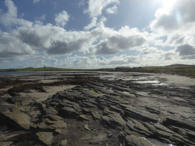
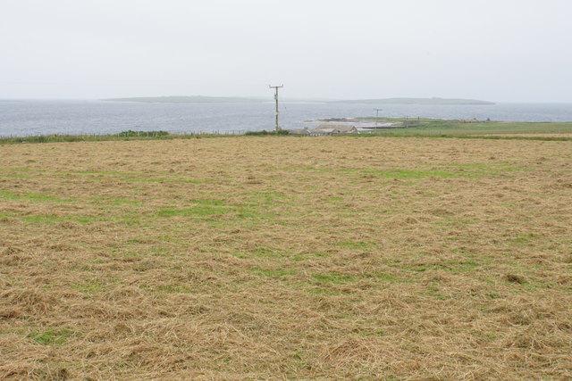
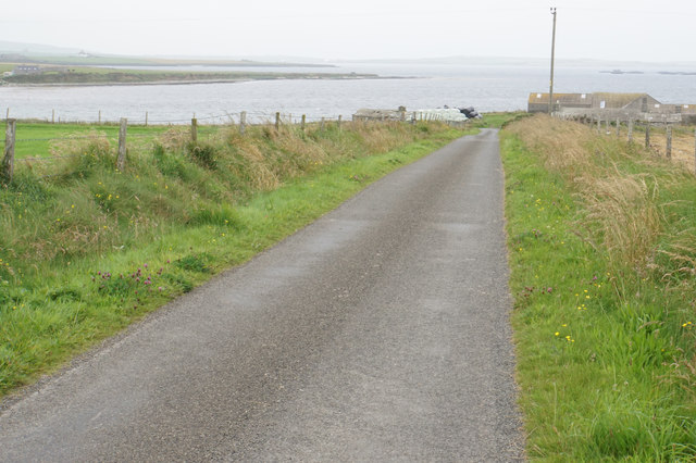
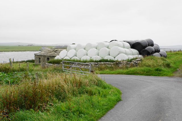
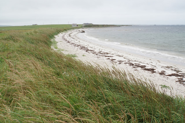
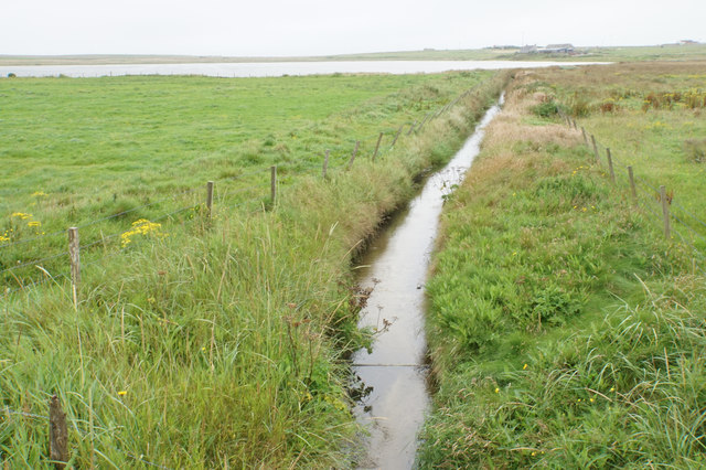
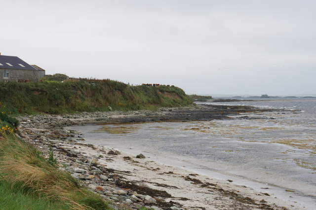
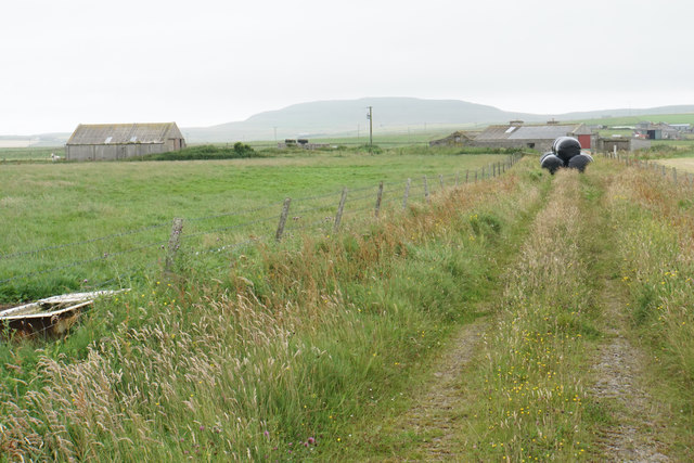
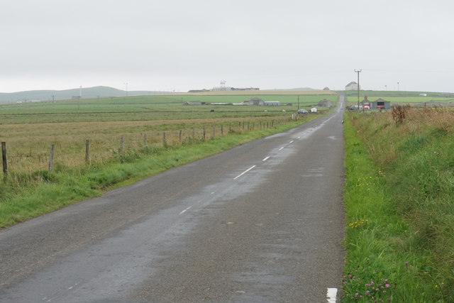
The Bay of Cleat is a picturesque inlet located on the eastern coast of the Orkney Islands, off the coast of mainland Scotland. It is situated on the island of South Ronaldsay, which is connected to the Orkney mainland by the Churchill Barriers.

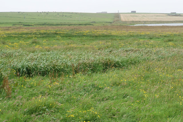
The bay is known for its stunning natural beauty, with pristine sandy beaches, crystal-clear turquoise waters, and rugged cliffs that provide breathtaking views. It is a popular destination for tourists and locals alike, offering a tranquil and idyllic setting for relaxation and outdoor activities.

The bay is home to a diverse range of marine life, including seals, dolphins, and various seabird species, making it a haven for wildlife enthusiasts and birdwatchers. Fishing is also a common activity in the area, with anglers attracted by the abundance of fish in the bay's waters.

In addition to its natural attractions, the Bay of Cleat holds historical significance. It was the site of a small Viking settlement, as evidenced by the remains of a Norse longhouse found in the area. The bay also played a role in World War II, as one of the Churchill Barriers was constructed nearby to protect the British naval fleet stationed in Scapa Flow.

Overall, the Bay of Cleat offers a unique blend of natural beauty, wildlife, and historical significance, making it a must-visit destination for those exploring the Orkney Islands.

If you have any feedback on the listing, please let us know in the comments section below.
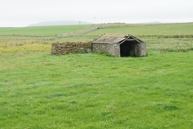
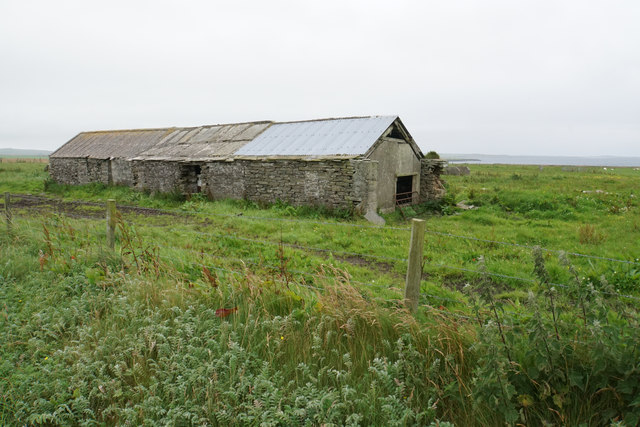
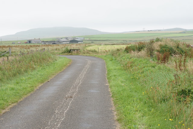
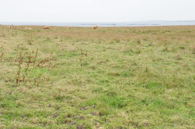
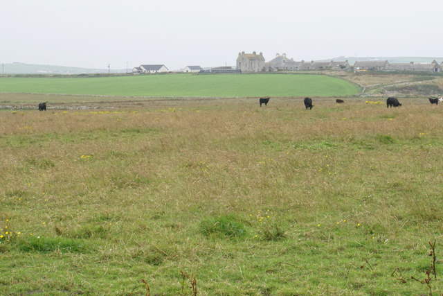
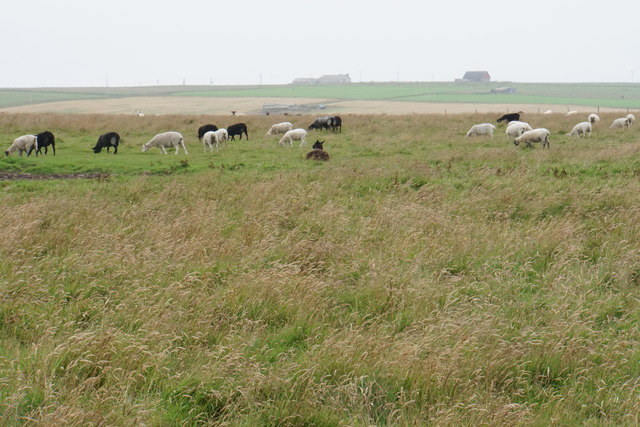
Bay of Cleat Images

Images are sourced within 2km of 59.307718/-2.930532 or Grid Reference HY4747. Thanks to Geograph Open Source API. All images are credited.

Rocky shore at Bay of Brough, Westray
Old Milestone by the B9066, Kirkbrae, Westray By the B9066, in parish of Westray (District), Kirkbrae, at 'Blind Summit' sign.

Inscription once read:- : (Pierowall 2) : : (Rapness 6) : 

Surveyed

Milestone Society National ID: OR_WYPWRP02.
Old Milestone by the B9066, Kirkbrae, Westray
By the B9066, in parish of Westray (District), Kirkbrae, at 'Blind Summit' sign. Inscription once read:- : (Pierowall 2) : : (Rapness 6) : Surveyed Milestone Society National ID: OR_WYPWRP02.
Old Milestone by the B9066, near Loch of Swartmill, Westray Parish By the B9066, in parish of Westray (District), Moss brae, opposite red telephone box.

Surveyed

Milestone Society National ID: OR_WYPWRP03.
Old Milestone by the B9066, near Loch of Swartmill, Westray Parish
By the B9066, in parish of Westray (District), Moss brae, opposite red telephone box. Surveyed Milestone Society National ID: OR_WYPWRP03.
Cut grass near Thorn Farm Looking out towards Spo Ness, with Papa Westray in the distance.
Cut grass near Thorn Farm
Looking out towards Spo Ness, with Papa Westray in the distance.
Road to Swartmill The Bay of Swartmill is laid out ahead. In the distance is the northern end of Westray.
Road to Swartmill
The Bay of Swartmill is laid out ahead. In the distance is the northern end of Westray.
Pile of silage bales at Swartmill Farm The pile was emitting a strong aroma.
Pile of silage bales at Swartmill Farm
The pile was emitting a strong aroma.
Bay of Swartmill A white sandy beach with the tide currently fairly high.
Bay of Swartmill
A white sandy beach with the tide currently fairly high.
Outflow from the Loch of Swartmill The inland loch drains into the sea here.
Outflow from the Loch of Swartmill
The inland loch drains into the sea here.
Barn near Smithquoy
Barn near Smithquoy
Coast below Smithquoy Looking to the northern end of the Bay of Swartmill.
Coast below Smithquoy
Looking to the northern end of the Bay of Swartmill.
Different grasses by the Loch of Swartmill Low-lying soggy ground between the loch and the sea.
Different grasses by the Loch of Swartmill
Low-lying soggy ground between the loch and the sea.
West Cloudie Farm Now used as a barn, and it appears to have been patched up.
West Cloudie Farm
Now used as a barn, and it appears to have been patched up.
Bend in the road near Gretna Green A view of central Westray with Fitty Hill in the background.
Bend in the road near Gretna Green
A view of central Westray with Fitty Hill in the background.
Field for cattle near Nether Cleat The Bay of Cleat can be seen beyond the field and there is a large fish farm in the bay.
Field for cattle near Nether Cleat
The Bay of Cleat can be seen beyond the field and there is a large fish farm in the bay.
Cattle near Cleat Cleat Farm is straight ahead, though it takes a while to drive round to it.
Cattle near Cleat
Cleat Farm is straight ahead, though it takes a while to drive round to it.
Sheep near East Gretna Green Looking towards Langskaill.
Sheep near East Gretna Green
Looking towards Langskaill.
Farm track to East Gretna Green Silage bales are being stored on this track, but there is another track for access to the farm off the main road.
Farm track to East Gretna Green
Silage bales are being stored on this track, but there is another track for access to the farm off the main road.
The B9066 near Gretna Green Heading towards Pierowall through the centre of Westray.
The B9066 near Gretna Green
Heading towards Pierowall through the centre of Westray.
Show me another place!

Bay of Cleat is located at Grid Ref: HY4747 (Lat: 59.307718, Lng: -2.930532)

Unitary Authority: Orkney Islands

Police Authority: Highlands and Islands

What 3 Words

///stays.crank.cabinet. Near Pierowall, Orkney Islands

Nearby Locations

Bay of Cleat

Related Wikis

Lady Kirk

The Lady Kirk (or St Mary's Kirk) at Pierowall is a ruined 17th-century church on the island of Westray, in Orkney, Scotland. The church was built in 1674...

Pierowall

Pierowall is a village of Westray in the Orkney Islands, off the coast of the northern Scottish mainland. The village is the island's largest settlement...

Westray

Westray (, Scots: Westree) is one of the Orkney Islands in Scotland, with a usual resident population of just under 600 people. Its main village is Pierowall...

Links of Noltland

Links of Noltland is a large prehistoric settlement located on the north coast of the island of Westray in Orkney, Scotland. The extensive ruins includes...

Nearby Amenities

Located within 500m of 59.307718,-2.930532
Bay of Cleat
Natural: bay
Lat/Long: 59.3079642/-2.9322338
The data included in this document is from www.openstreetmap.org. The data is made available under ODbL.

Have you been to Bay of Cleat?

Leave your review of Bay of Cleat below (or comments, questions and feedback).