Bay of Ayre

Bay in Orkney

Scotland

Bay of Ayre

Old defences, Glimps Holm
Old defences, Glimps Holm Credit: Alpin Stewart

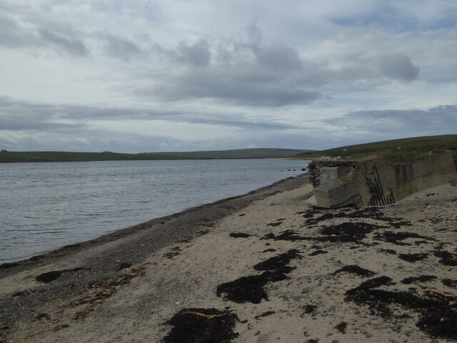
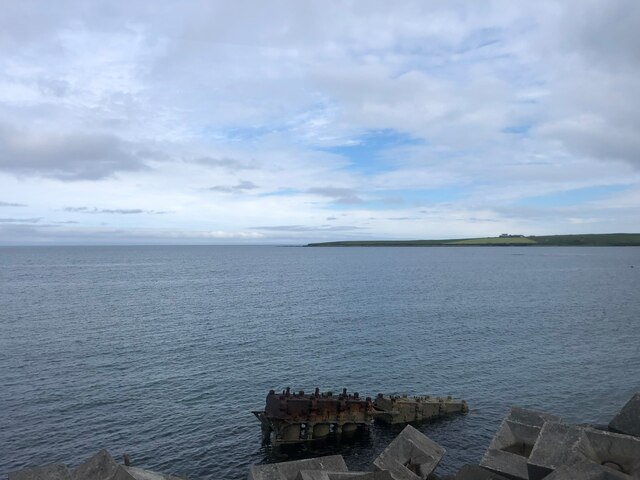
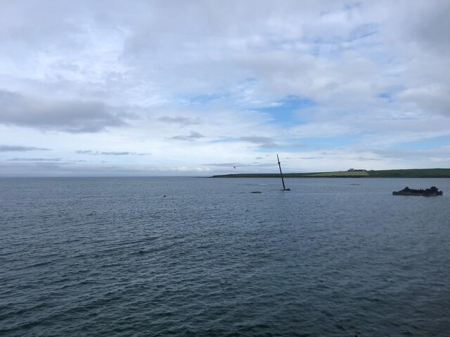
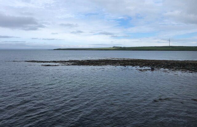
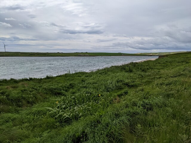
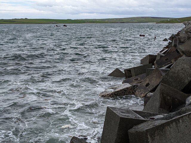
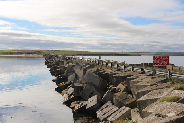
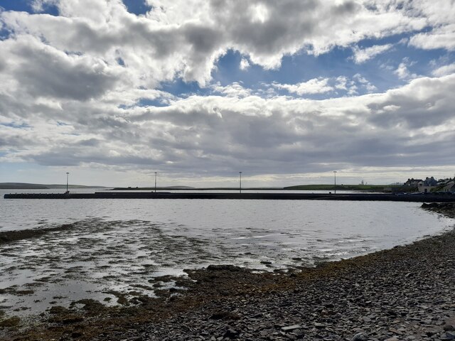
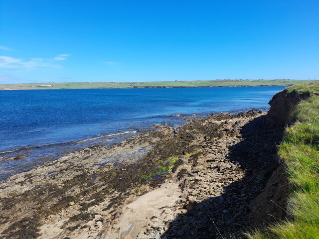
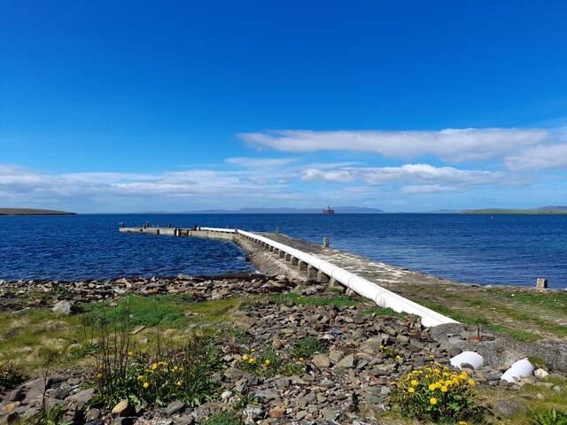
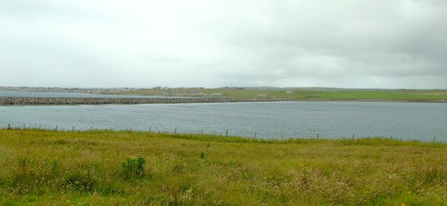
The Bay of Ayre is a picturesque coastal area located on the northern coast of Mainland Orkney, an archipelago in Scotland. It stretches for approximately 3 kilometers and is characterized by its stunning sandy beaches and dunes, clear turquoise waters, and abundant wildlife.

The bay is situated between the Brough of Birsay to the west and the Point of Buckquoy to the east. It offers breathtaking views of the North Atlantic Ocean, with the distant cliffs of Marwick Head visible on the horizon. The bay is surrounded by rolling green fields and farmland, adding to its natural beauty.

The area is a haven for birdwatchers and nature enthusiasts, as it is home to a wide variety of bird species. Migratory birds such as Arctic terns, oystercatchers, and curlews can often be spotted along the shores of the bay. Seals and otters are also known to frequent the area, adding to the rich biodiversity.

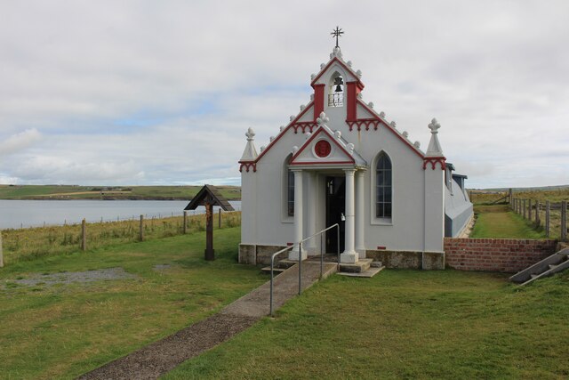
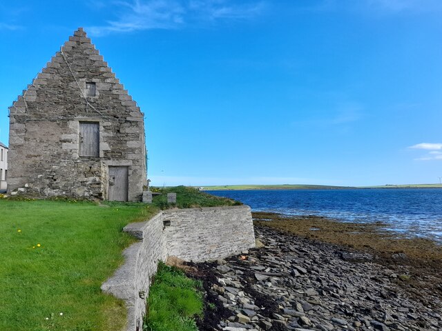
Bay of Ayre is also of historical significance, as it is believed to have been an important Viking trading site during the Norse occupation of the Orkney Islands. The nearby Point of Buckquoy is home to an ancient settlement and a well-preserved Pictish broch, providing a glimpse into the region's past.

Overall, the Bay of Ayre is a captivating destination that offers a perfect blend of natural beauty, wildlife, and historical significance. It is a must-visit location for those seeking tranquility and a connection with nature.

If you have any feedback on the listing, please let us know in the comments section below.

Bay of Ayre Images

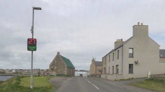
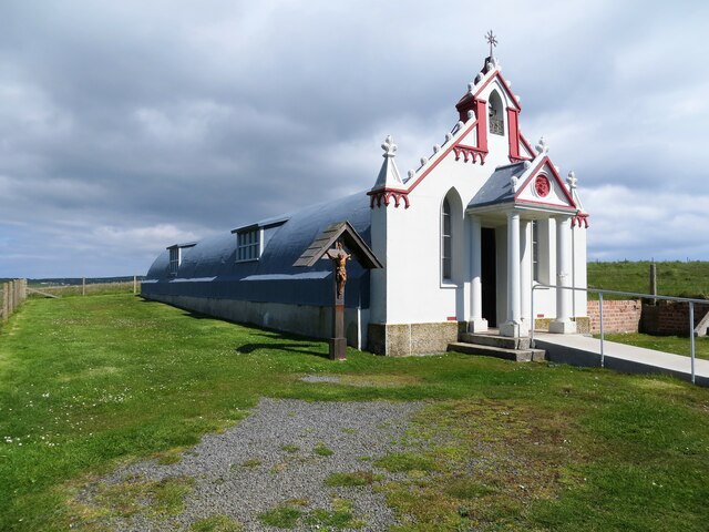
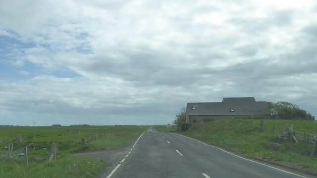
Images are sourced within 2km of 58.893662/-2.9149017 or Grid Reference HY4701. Thanks to Geograph Open Source API. All images are credited.

Old defences, Glimps Holm
Blockship in Holm Sound During World War I blockships were deliberately sunk in smaller channels of Scapa Flow to prevent the possibility of the Germans gaining access to the waterway. These proved inadequate in WWII so the construction of several permanent barriers were begun in May 1940, known as Churchill Barriers. Some of the blockships are still visible from these causeways
Blockship in Holm Sound
During World War I blockships were deliberately sunk in smaller channels of Scapa Flow to prevent the possibility of the Germans gaining access to the waterway. These proved inadequate in WWII so the construction of several permanent barriers were begun in May 1940, known as Churchill Barriers. Some of the blockships are still visible from these causeways
A patch of Glimps Holm Rocky shoreline at the north-east end.
A patch of Glimps Holm
Rocky shoreline at the north-east end.
The shoreline of Weddell Sound
The jumbled concrete blocks of Churchill Barrier No 2
Churchill Barrier No 1
The Italian Chapel interior
The Italian Chapel
The Italian Chapel
Shore at St Mary's On a sunny afternoon.
Shore at St Mary's
On a sunny afternoon.
Pier at St Mary's
Pier at St Mary's
Dandelion Picking The totem pole was carved as a collaborative project by locals and Cree Indians. It was erected in 2007.
Dandelion Picking
The totem pole was carved as a collaborative project by locals and Cree Indians. It was erected in 2007.
Coast, Lamb Holm Not far from the Italian Chapel.
Coast, Lamb Holm
Not far from the Italian Chapel.
Pier, Lamb Holm Taken on a sunny morning.
Pier, Lamb Holm
Taken on a sunny morning.
A961, St Mary's
A961, St Mary's
Italian Chapel. Lamb Holm, Orkney
Churchill Barrier No 1 Taken from the Italian Chapel on Lamb Holm, I am looking north west to Churchill Barrier 1, with St Mary's Bay and the settlement of the same name to the left of shot. This barrier forms a road bridge across the bay and the road continues southward from Lamb Holm over the two other barriers linking Glimpsta Holm and Burray.
Churchill Barrier No 1
Taken from the Italian Chapel on Lamb Holm, I am looking north west to Churchill Barrier 1, with St Mary's Bay and the settlement of the same name to the left of shot. This barrier forms a road bridge across the bay and the road continues southward from Lamb Holm over the two other barriers linking Glimpsta Holm and Burray.
A961 southbound near St. Mary's, Orkney
Show me another place!

Bay of Ayre is located at Grid Ref: HY4701 (Lat: 58.893662, Lng: -2.9149017)

Unitary Authority: Orkney Islands

Police Authority: Highlands and Islands

What 3 Words

///unheated.liability.debit. Near Holm, Orkney Islands

Related Wikis

St Mary's, Orkney

St Mary's (also known as St. Mary's Holm) is a small village in the parish of Holm on Mainland, Orkney, Scotland. It was originally a fishing port. Orkney...

Broch of Ayre

Broch of Ayre, also known as St. Mary's Broch, is an Iron Age broch in Orkney, Scotland. == Location == Broch of Ayre is found on the northern shore of...

Orkney F.C.

Orkney Football Club is a senior association football club from the Orkney Islands, Scotland. The club was founded in 2012 and competes in the North Caledonian...

A961 road

The A961 is a single-carriageway road on the eastern side of Scapa Flow in the Orkney Islands, connecting the town of Kirkwall on the Orkney Mainland to...

Nearby Amenities

Located within 500m of 58.893662,-2.9149017
Leisure: slipway
Lat/Long: 58.8918788/-2.9180882
St Mary's
Alt Name: Saint Mary's
Place: village
Wikidata: Q15059303
Wikipedia: en:St Mary's, Orkney
Lat/Long: 58.8960354/-2.9153669
Leisure: slipway
Lat/Long: 58.895637/-2.9114069
Bus Stop
Bus: yes
Public Transport: platform
Lat/Long: 58.896469/-2.9102608
Post Office
Holm Post Office and Shop
Addr Country: GB
Addr Postcode: KW17 2RU
Opening Hours Post Office: Mo-Fr 09:00-13:00
Ref Pol Id: 1603
Shop: convenience
Lat/Long: 58.8964773/-2.909467
Power: pole
Lat/Long: 58.8963761/-2.9216337
Post Box
Brand: Royal Mail
Brand Wikidata: Q638098
Collection Times: Mo-Sa 12:30
Operator: Royal Mail
Operator Wikidata: Q638098
Post Box Type: wall
Ref: KW17 128
Royal Cypher: scottish_crown
Lat/Long: 58.8963896/-2.9092842
Power: pole
Lat/Long: 58.8978766/-2.916508
Power: pole
Lat/Long: 58.8973474/-2.9164919
Power: pole
Lat/Long: 58.8966892/-2.9164517
Power: pole
Lat/Long: 58.8966975/-2.9173288
Power: pole
Lat/Long: 58.8931738/-2.9205474
Broch (Iron Age)
Historic: archaeological_site
Wikidata: Q19585439
Wikipedia: en:Broch of Ayre
Lat/Long: 58.8962888/-2.9210065
Skaildaquoy Point
Place: locality
Lat/Long: 58.8907161/-2.9180521
Charging Station
Lat/Long: 58.8967212/-2.9152773
Remains of a 19th century gun battery
Place: locality
Lat/Long: 58.8900874/-2.9176377
The Strond (former WW2 Cinema)
Place: locality
Lat/Long: 58.895538/-2.91862
The Holm Storehouse b. 1649
Place: locality
Lat/Long: 58.8961768/-2.9091297
Site of WW2 Balloon Repair Sheds with a RAF Camp at the back
Place: locality
Lat/Long: 58.8968558/-2.9101375
Holm Village Pier - a former centre for herring fishing
Place: locality
Lat/Long: 58.895293/-2.9117318
Power: pole
Lat/Long: 58.8968672/-2.9144398
Power: pole
Lat/Long: 58.8969477/-2.9139522
Power: pole
Lat/Long: 58.8971061/-2.912992
Power: pole
Lat/Long: 58.8973969/-2.9116825
The data included in this document is from www.openstreetmap.org. The data is made available under ODbL.

Have you been to Bay of Ayre?

Leave your review of Bay of Ayre below (or comments, questions and feedback).