Salt Ness

Coastal Feature, Headland, Point in Orkney

Scotland

Salt Ness

Banks of Runabout Several Nissen Huts stand as reminder of WWII activities in this area which housed a coastal battery to protect Kirkwall.
Banks of Runabout Credit: Andy Farrington

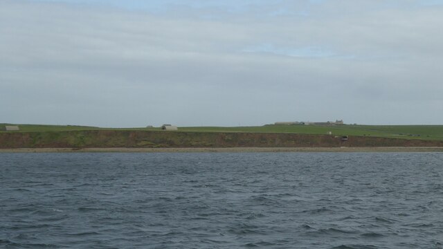
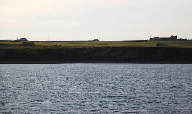
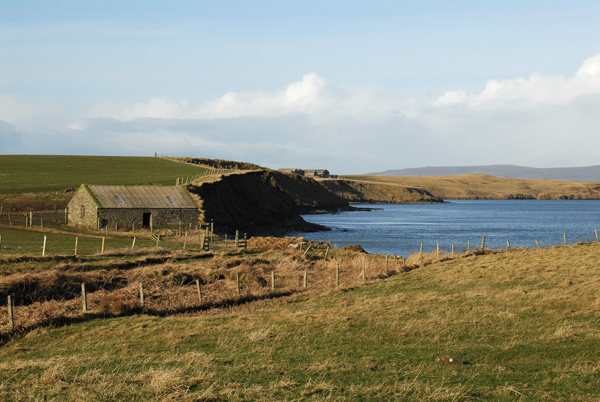
Salt Ness is a prominent coastal feature located in Orkney, an archipelago situated off the northeastern coast of Scotland. This headland, also referred to as a point, extends into the North Sea and is known for its rugged and picturesque landscape. With its towering cliffs and sweeping views, it has become a popular destination for nature enthusiasts and hikers.

The headland of Salt Ness is composed mainly of sandstone and shale, which have been shaped by years of erosion caused by the wind and sea. This geological formation gives rise to the striking cliffs that dominate the coastline, reaching heights of up to 100 feet in some areas. These cliffs provide nesting sites for various seabirds, including puffins, guillemots, and kittiwakes, making it a haven for birdwatchers.

In addition to its natural beauty, Salt Ness is also home to a rich history. Archaeological excavations have revealed evidence of human occupation dating back thousands of years, including Neolithic settlements and Viking remains. The headland played a significant role in maritime trade during the Viking Age, and remnants of a Viking settlement can still be seen today.

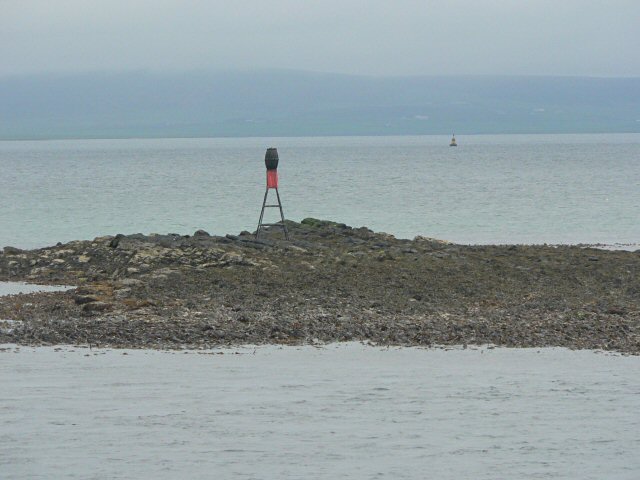
Visitors to Salt Ness can explore the headland via a network of walking trails that offer breathtaking views of the surrounding coastline and the nearby islands. The area is also a popular spot for fishing, with anglers often casting their lines from the rocky shores.

Overall, Salt Ness in Orkney is a captivating coastal feature that combines stunning natural beauty with a fascinating history, making it a must-visit destination for anyone exploring the region.

If you have any feedback on the listing, please let us know in the comments section below.
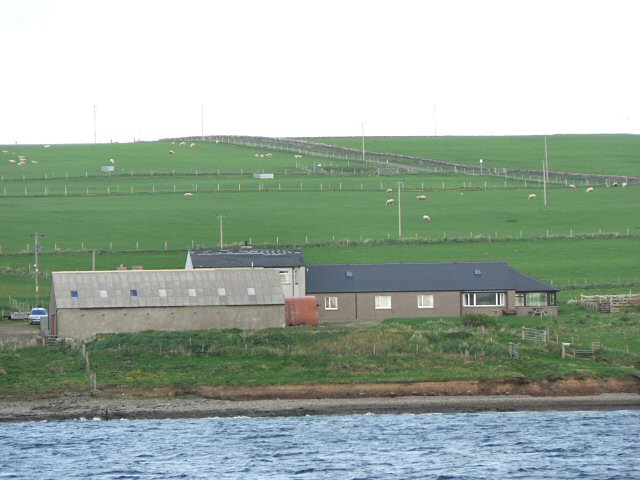
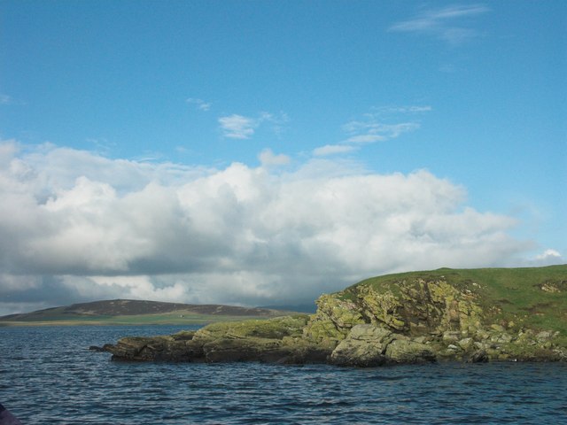
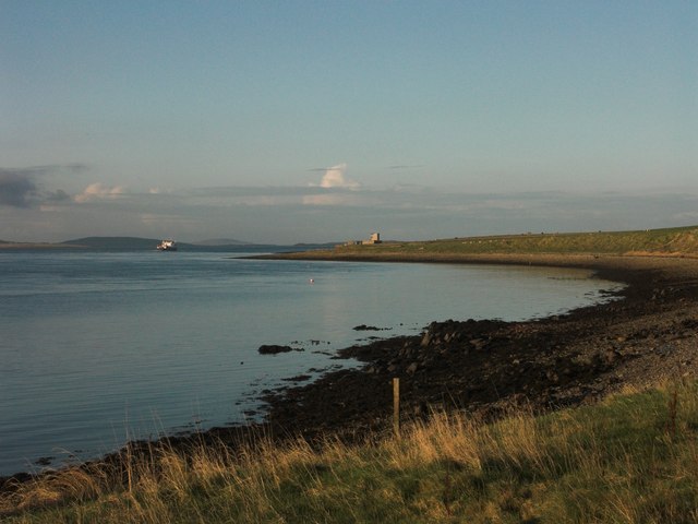
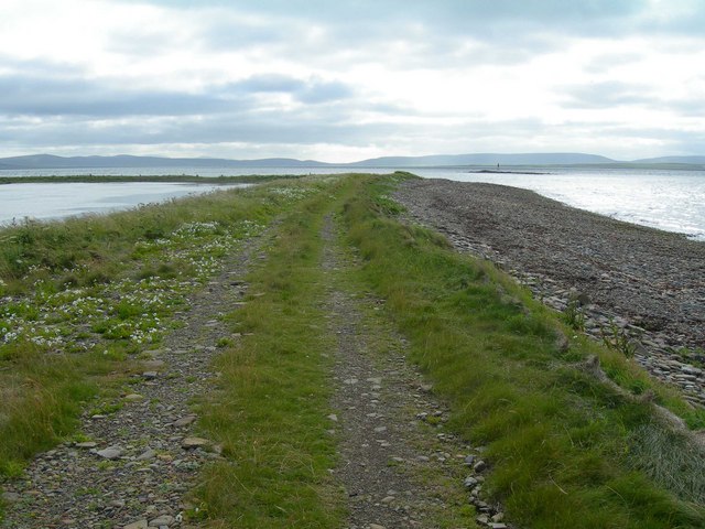
Salt Ness Images

Images are sourced within 2km of 59.062416/-2.9171899 or Grid Reference HY4719. Thanks to Geograph Open Source API. All images are credited.

Banks of Runabout Several Nissen Huts stand as reminder of WWII activities in this area which housed a coastal battery to protect Kirkwall.
Banks of Runabout
Several Nissen Huts stand as reminder of WWII activities in this area which housed a coastal battery to protect Kirkwall.
Banks of Runabout Low cliffs and a precariously placed building on the north side of Shapinsay.
Banks of Runabout
Low cliffs and a precariously placed building on the north side of Shapinsay.
Banks of Runabout The steep sandy banks don't look very stable. On top is one of the Nissen huts supporting the coastal defences on Salt Ness.
Banks of Runabout
The steep sandy banks don't look very stable. On top is one of the Nissen huts supporting the coastal defences on Salt Ness.
Coastal erosion at Banks of Runabout
Garth This is the last farm on the north end of the western tip on Shapinsay.
Garth
This is the last farm on the north end of the western tip on Shapinsay.
Coastal erosion The soft cliffs are collapsing and eroding away. A worry as the remains of a wartime coastal battery lie here and some of the features are in danger of collapsing into the sea. The buildings in the middle distance, looking a little like Nissen huts, will have been generator houses for searchlights etc.
Coastal erosion
The soft cliffs are collapsing and eroding away. A worry as the remains of a wartime coastal battery lie here and some of the features are in danger of collapsing into the sea. The buildings in the middle distance, looking a little like Nissen huts, will have been generator houses for searchlights etc.
The Galt Viewed from the Varagen, an inter-island ferry. Veantrow Bay is beyond.
The Galt
Viewed from the Varagen, an inter-island ferry. Veantrow Bay is beyond.
Shapinsay, Farm of Garth Farm of Garth has an excellent stock of Orkney rare farm animals.
Shapinsay, Farm of Garth
Farm of Garth has an excellent stock of Orkney rare farm animals.
Ware Geo, Shapinsay Looking along Veantrow Bay toward Ware Geo.
Ware Geo, Shapinsay
Looking along Veantrow Bay toward Ware Geo.
Galtness Coast Gun Battery Director Tower and Searchlight of WWII Galtness Coastal Gun Battery on island of Shapinsay in the Orkney Islands.  Photograph taken from Sanday ferry.
Galtness Coast Gun Battery
Director Tower and Searchlight of WWII Galtness Coastal Gun Battery on island of Shapinsay in the Orkney Islands. Photograph taken from Sanday ferry.
Skerry of Vasa Taken from a ferry from Kirkwall to Stronsay.
Skerry of Vasa
Taken from a ferry from Kirkwall to Stronsay.
Galtness Gun Battery This WW2 gun battery commands the sea approach to Kirkwall. Like <a href="https://www.geograph.org.uk/photo/14949">HY4719 : Galtness Coast Gun Battery</a> this was taken from a ferry, but in better weather.
Galtness Gun Battery
This WW2 gun battery commands the sea approach to Kirkwall. Like HY4719 : Galtness Coast Gun Battery this was taken from a ferry, but in better weather.
Furrowend
Furrowend
South West corner of Grass Holm South West corner of Grass Holm. This is a small island inhabited only by a few sheep. Photo taken from an inflatable workboat. Island of Gairsay can be seen in the background.
South West corner of Grass Holm
South West corner of Grass Holm. This is a small island inhabited only by a few sheep. Photo taken from an inflatable workboat. Island of Gairsay can be seen in the background.
Furrowend Bay looking towards Galt Ness Outer Islands ferry passing the Galt Ness Gun Battery
Furrowend Bay looking towards Galt Ness
Outer Islands ferry passing the Galt Ness Gun Battery
Raised beach separating Vasa Loch from the sea, Shapinsay The view is along the track atop the narrow strip of land that separates Vasa Loch from the open sea on the west side of Shapinsay in the Orkney Islands.  Vasa Loch is on the left.
Raised beach separating Vasa Loch from the sea, Shapinsay
The view is along the track atop the narrow strip of land that separates Vasa Loch from the open sea on the west side of Shapinsay in the Orkney Islands. Vasa Loch is on the left.
Fields near Gebro, Shapinsay View of fields near Gebro, Shapinsay.
Fields near Gebro, Shapinsay
View of fields near Gebro, Shapinsay.
Shapinsay, looking North towards "The Galt" Photograph taken just North of the RSPB Mill bird hide.
Shapinsay, looking North towards "The Galt"
Photograph taken just North of the RSPB Mill bird hide.
Show me another place!

Salt Ness is located at Grid Ref: HY4719 (Lat: 59.062416, Lng: -2.9171899)

Unitary Authority: Orkney Islands

Police Authority: Highlands and Islands

What 3 Words

///tripled.grain.invoices. Near Balfour, Orkney Islands

Related Wikis

Vasa Loch

Vasa Loch is a brackish lagoon in southwestern Shapinsay, Orkney Islands. (Ordnance, 2002) This water body has been shown on early maps of the island...

Shapinsay

Shapinsay (, Scots: Shapinsee) is one of the Orkney Islands off the north coast of mainland Scotland. With an area of 29.5 square kilometres (11.4 sq mi...

Mill Dam

Mill Dam is a wetland in western Shapinsay, in Orkney, Scotland. This water body was not shown on the 1840 survey map of the island, since it is a man...

Veantro Bay

Veantro Bay is a bay on the northwest coast of Shapinsay in the Orkney Islands, Scotland.At the head of the bay is a large stone, thought to be associated...

Have you been to Salt Ness?

Leave your review of Salt Ness below (or comments, questions and feedback).