Beach of Saltness
Beach in Orkney
Scotland
Beach of Saltness

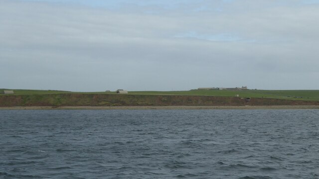
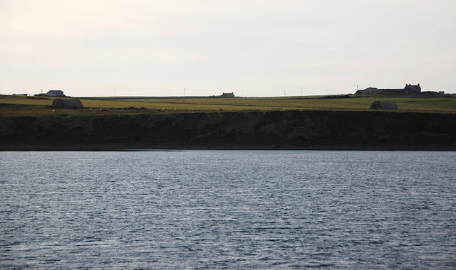
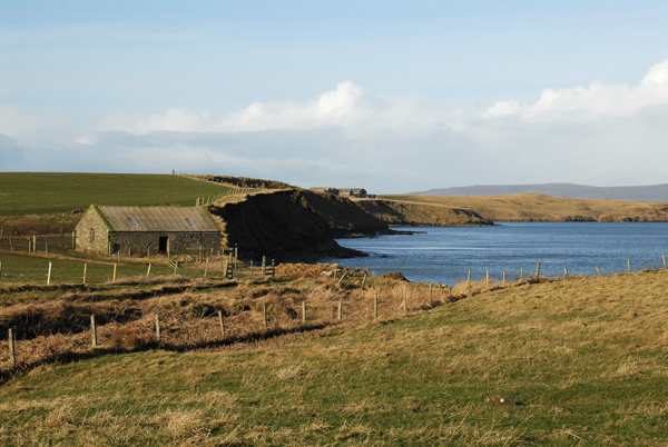
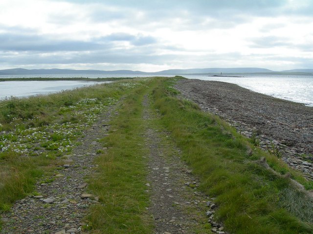
The Beach of Saltness is a stunning coastal area located on the island of Orkney, off the northeastern coast of Scotland. Known for its untouched natural beauty and unspoiled surroundings, it is a popular destination among locals and tourists alike.
Stretching over a mile long, the Beach of Saltness offers breathtaking views of the North Sea and the surrounding rugged cliffs. The beach boasts pristine white sands that contrast beautifully with the clear turquoise waters, creating a picturesque and tranquil setting.
The beach is a haven for wildlife enthusiasts, as it is home to a diverse range of bird species. Visitors can spot various seabirds, including puffins, gulls, and terns, nesting along the coastline. The area is also a designated site of Special Scientific Interest (SSSI) due to its rich geological features and unique flora and fauna.
Besides enjoying the scenic beauty, the Beach of Saltness offers opportunities for various recreational activities. Visitors can indulge in beachcombing, picnicking, and sunbathing on the soft sands. The crystal-clear waters make it an ideal spot for swimming and snorkeling, while the strong coastal winds attract windsurfers and kiteboarders.
Facilities at the Beach of Saltness are limited, with no designated parking or amenities nearby. However, the beach's remote location adds to its charm, providing a peaceful and undisturbed atmosphere for visitors to connect with nature.
Overall, the Beach of Saltness is a hidden gem on the Orkney Islands, offering a serene and captivating coastal experience for nature lovers and beach enthusiasts.
If you have any feedback on the listing, please let us know in the comments section below.
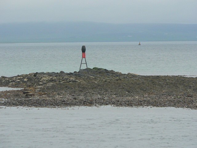
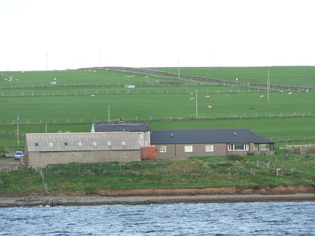
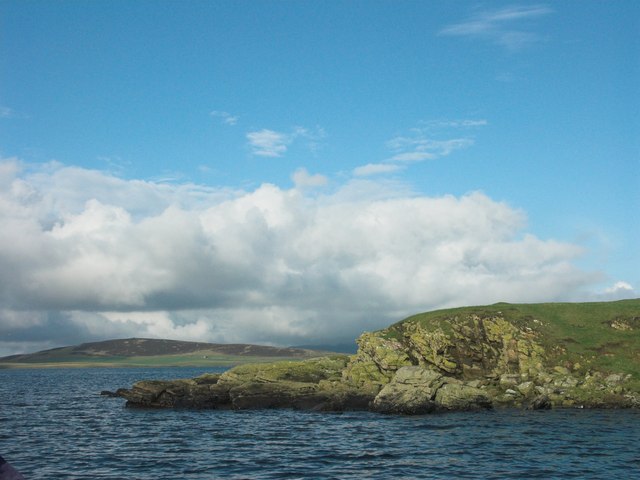
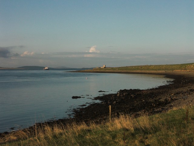
Beach of Saltness Images
Images are sourced within 2km of 59.059467/-2.9164138 or Grid Reference HY4719. Thanks to Geograph Open Source API. All images are credited.


Beach of Saltness is located at Grid Ref: HY4719 (Lat: 59.059467, Lng: -2.9164138)
Unitary Authority: Orkney Islands
Police Authority: Highlands and Islands
What 3 Words
///bubble.effort.perused. Near Balfour, Orkney Islands
Nearby Locations
Related Wikis

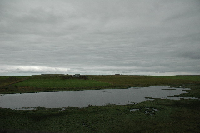
Vasa Loch
Vasa Loch is a brackish lagoon in southwestern Shapinsay, Orkney Islands. (Ordnance, 2002) This water body has been shown on early maps of the island...

Shapinsay
Shapinsay (, Scots: Shapinsee) is one of the Orkney Islands off the north coast of mainland Scotland. With an area of 29.5 square kilometres (11.4 sq mi...

Mill Dam
Mill Dam is a wetland in western Shapinsay, in Orkney, Scotland. This water body was not shown on the 1840 survey map of the island, since it is a man...

The Ouse
The Ouse is a tidal estuary in northern Shapinsay, Orkney Islands. This water body has been shown on early maps of the island in a very similar shape to...
Have you been to Beach of Saltness?
Leave your review of Beach of Saltness below (or comments, questions and feedback).